In General
Getting Here
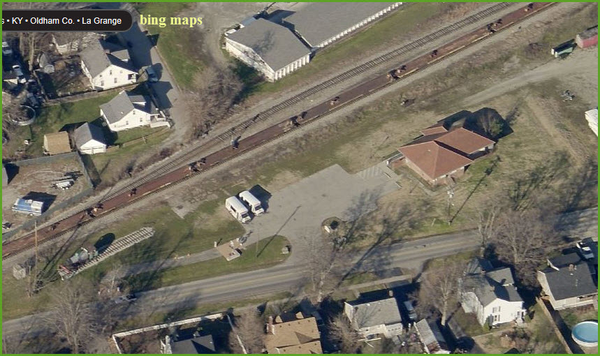
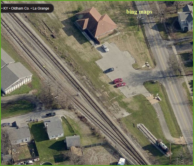
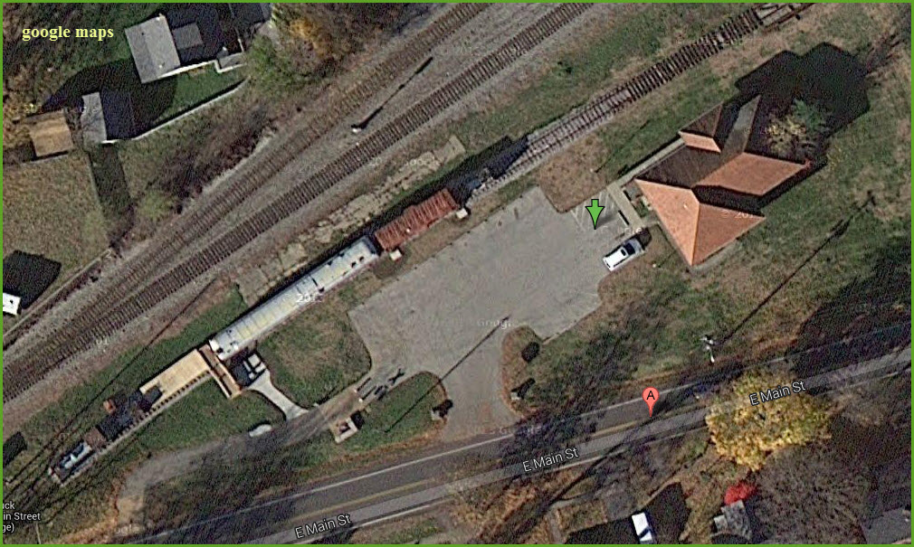
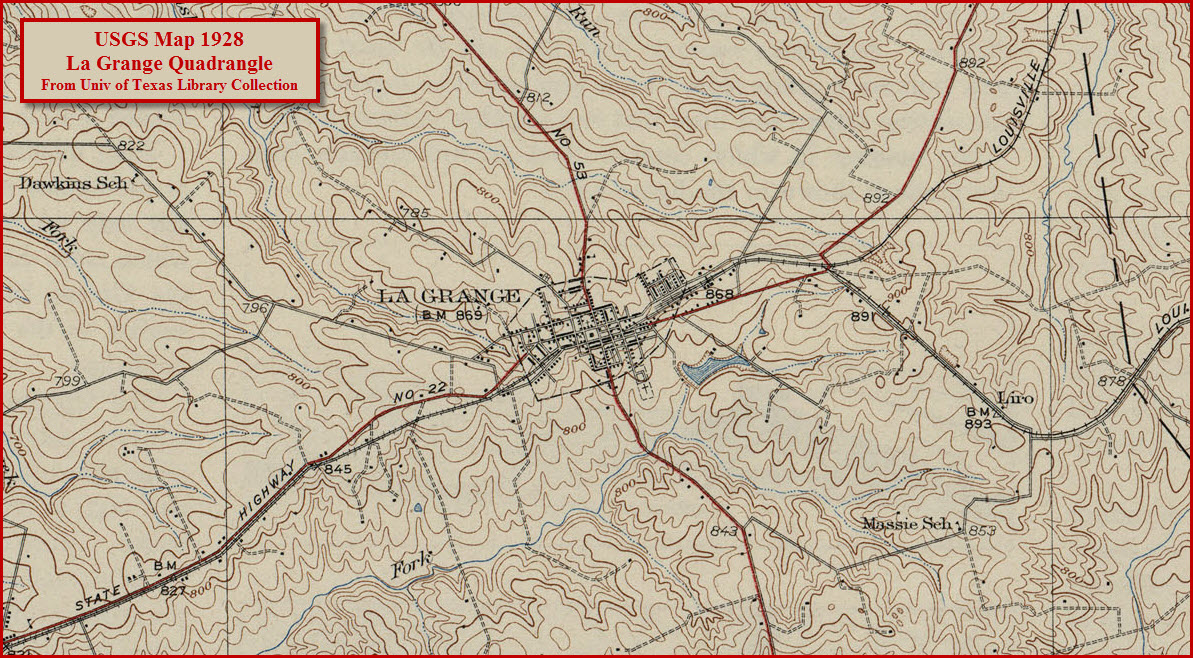
Map
Sights
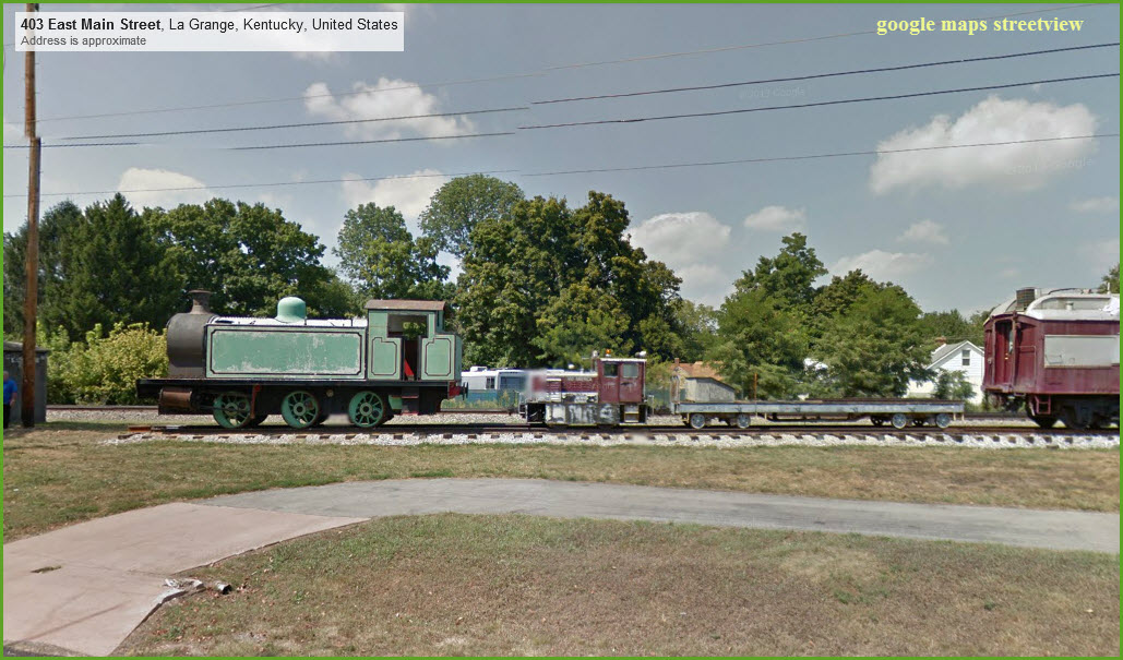
Pictures
Signals
Fire & Police
Floobydust
USGS Maps
RAILROAD SIGNALS HOME
Location / Name:
La Grange KY
What's Here:
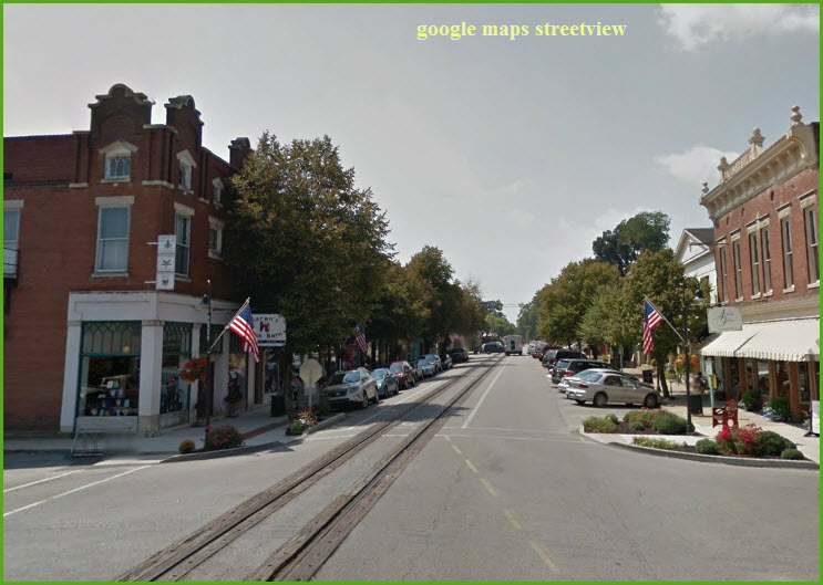
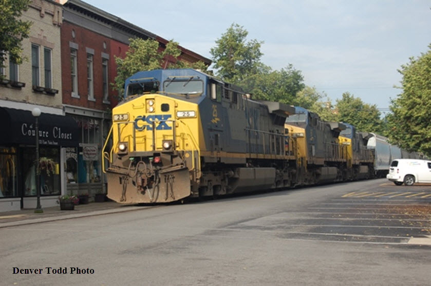
Street running
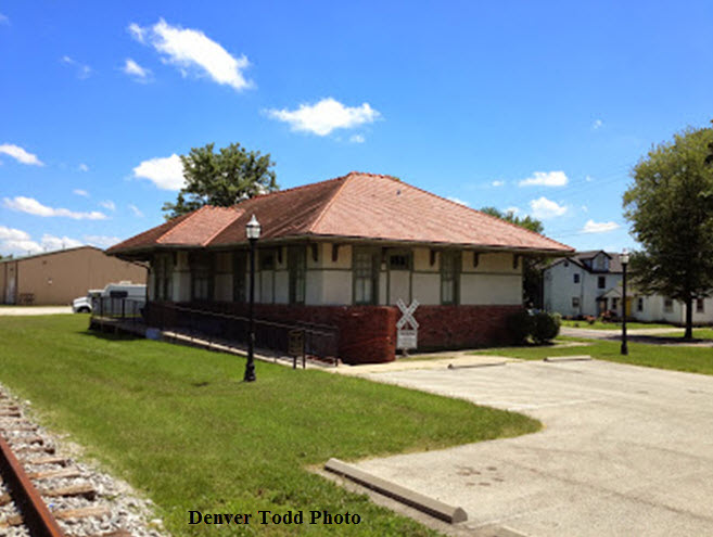
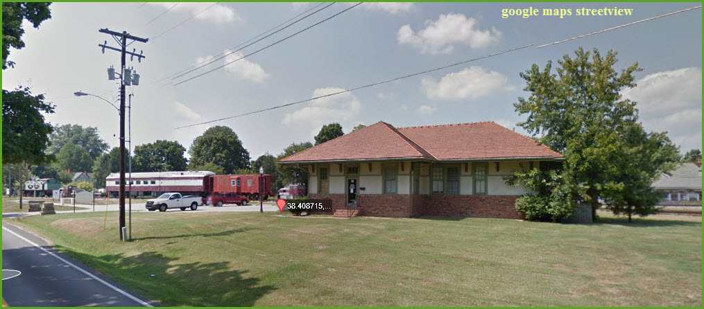
Vintage depot
Data:
GPS Coordinates: 38.407572, -85.378838 (Main St and 1st Ave)
ZIP: 40031
A/C: 502
Scanner Frequencies:
CSX: 161.370
Access by train/transit:
None
The Scoop:
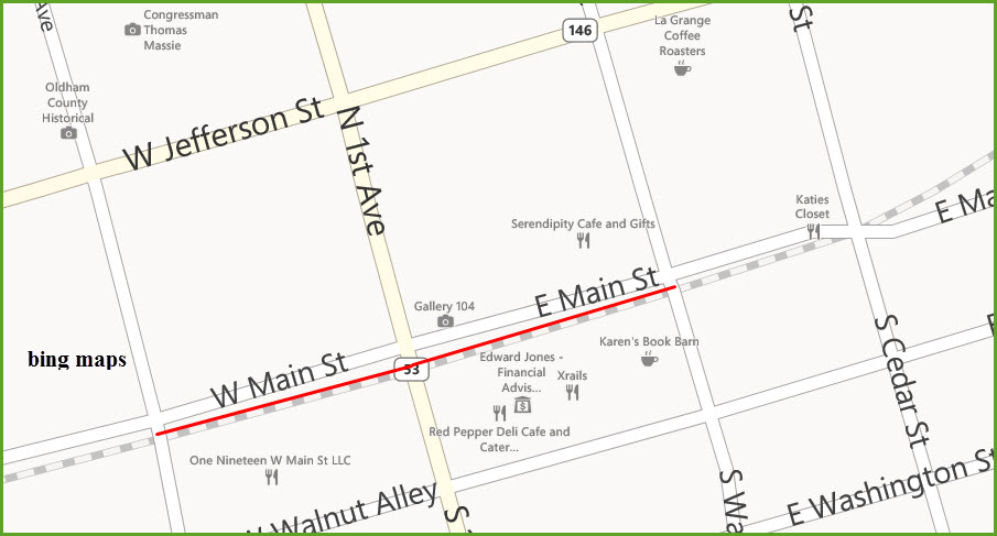
La Grange, KY (population ~8,000) is known to railfans for the "street running" of CSX on Main St. La Grange is one of those charming little towns you find in the south. Once about every 1 or 2 hours, the town stops and lets CSX roll through.
The actual street running is only two blocks long between S 2nd Ave and S Walnut Ave, but it parallels Main St for another block on the east side before crossing Main St, and another 2 blocks or so on the west side before pulling away from Main St.
As far as chasing CSX goes, State Highway 146 heading west towards Louisville follows the tracks pretty darn well, almost the whole way into the downtown area. Lookout in Crestwood where you have to cross the tracks to stay on 146. On the east side of town, a number of roads cross the tracks, and there is a short section of Fallen Timber Rd that parallels the tracks.
Note down in the signal section, it appears that LaGrange has put in a elevated viewing platform at Main and Cedar!!
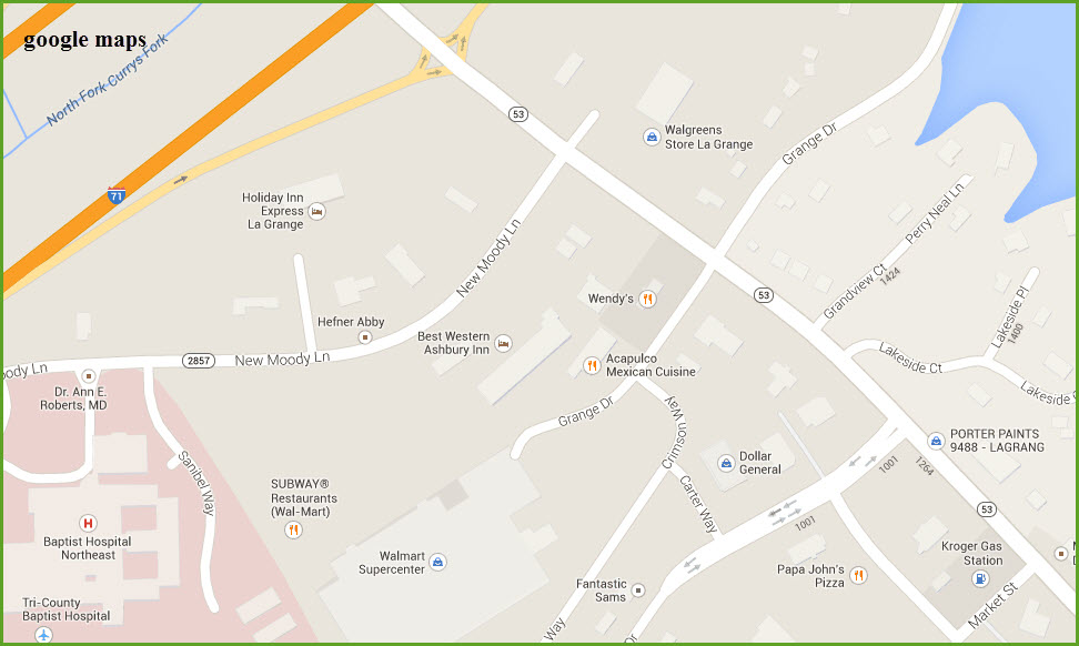
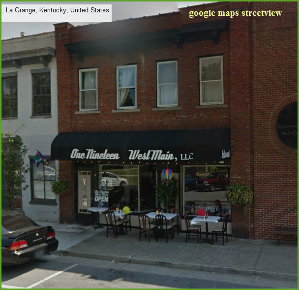
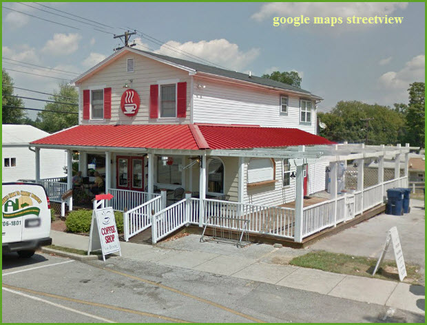
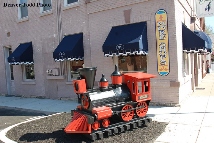
There are several restaurants on and near Main Street. One of the best is at "one-nineteen W Main" (38.407401, -85.379601). Quaint shopping to while away time between trains helps make this a relaxing place to railfan. Main St appears to have a lot of small knick-knack type stores to keep even most hardcore railfans busy in between trains. Lodging is south of town, around the I-71 exit 22..... Denver says he prefers the Best Western Asbury Inn.
Acknowledgements:
Thanks to Denver Todd for his help with this and many of my new railfan guides. He has provided the information which is the hard part! :-)
Websites and other additional information sources of interest for the area:
Railfan & Railroad Magazine, Sept. 2007 (CSX Kentucky Street Running)
http://discoverlagrange.org/ Downtown La Grange Info
http://www.lagrangeky.net/visitors.asp City of La Grange
www.onenineteenwestmain.com/One nineteen West Main
https://www.youtube.com/watch?v=wUX9kr4D1Xg Video of CSX train thru town
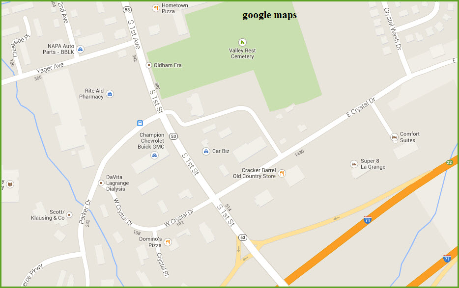
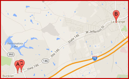
La Grange is about halfway between Louisville KY and Cincinnati OH off interstate I-71.
Exit 22 off of I-71 puts you on 1st Ave, which will take you directly to the middle of town where you will find the tracks running in the middle of the street.


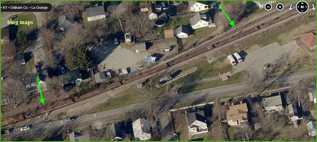
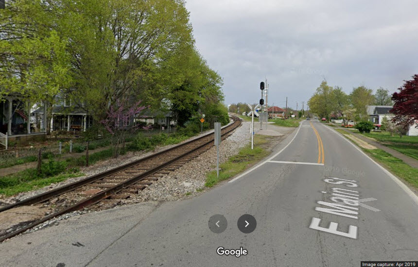
This is where the tracks leave/join Main St on the east side of town, adjacent to Cedar Ave.


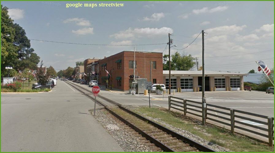
2nd Ave at the Fire Station.
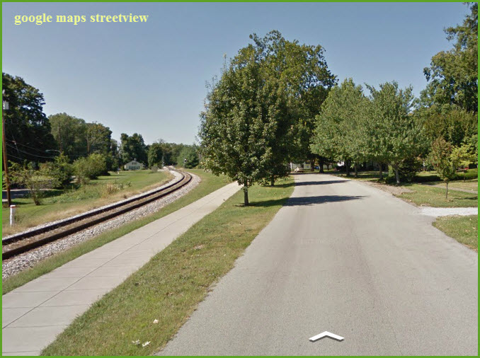
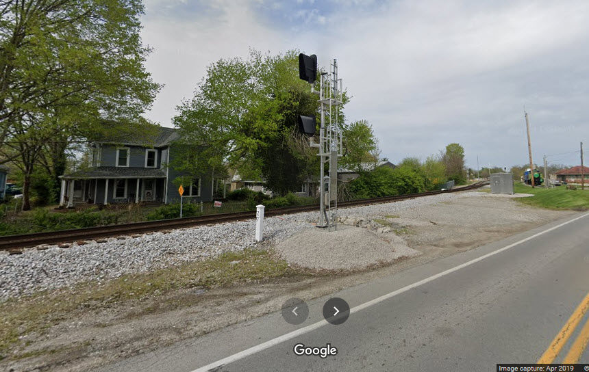
This is where the tracks leave/join Main St on the west side of town, adjacent to 4th Ave.
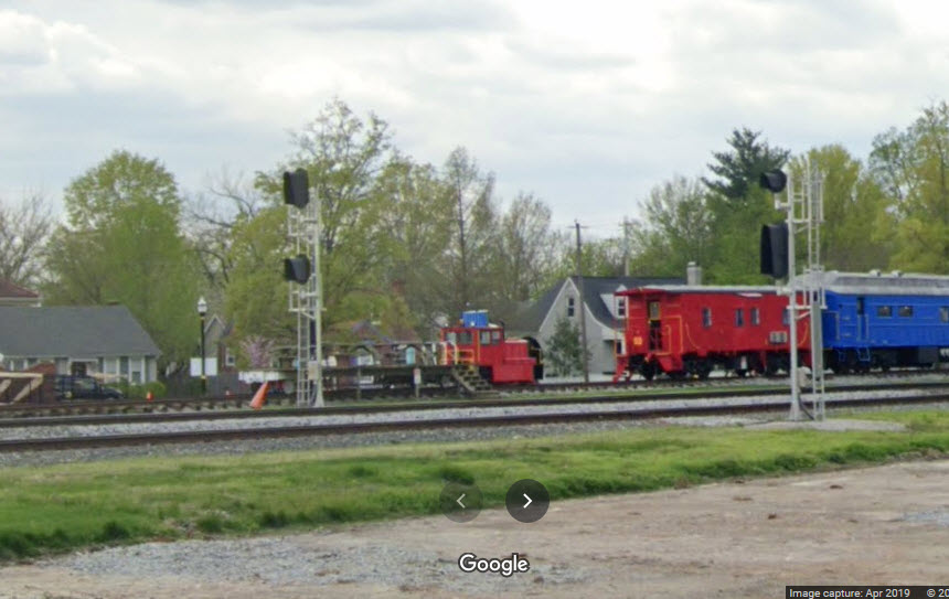
GPS Coordinates: 38.408715,-85.374726
Looks like they have built a viewing platform on top of the flat car....
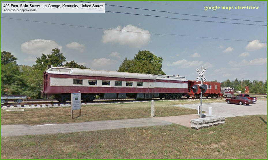
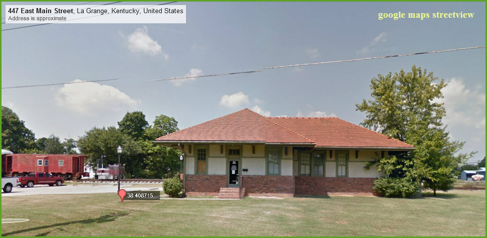


 Picture by Slideshow Bruce
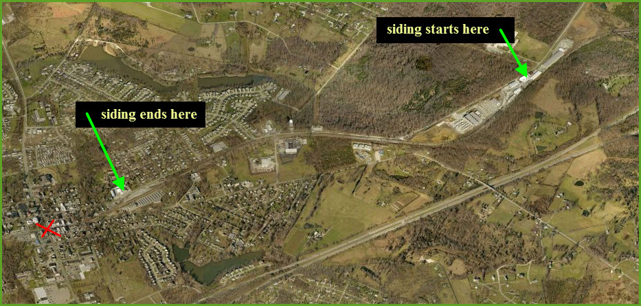
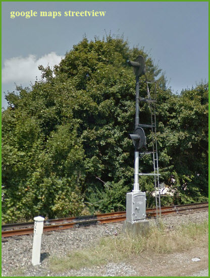
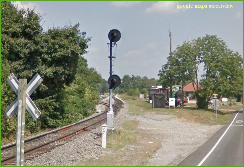
Colorlight signals now rule here on this ex Louisville & Nashville line, however, back in 2014 when I originally did this guide, searchlight signals were used in many locations as can be seen below. There are signals to the east of town where the siding starts, as well as where the siding ends in town (or vice-versa). The red "X" Marks the downtown intersection of Main St and 1st Ave.
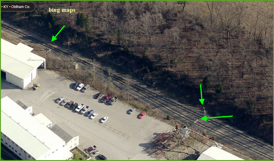
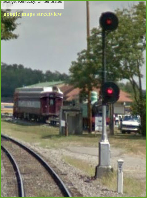
Looks like the city has put in a viewing platform!!!

These signals are behind Northland Corp and we can't see them from Google's Streetview.... anyone feel like taking a field trip for some pictures?
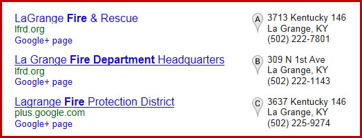
La Grange Fire Department HQ

Eateries
Grade Crossings
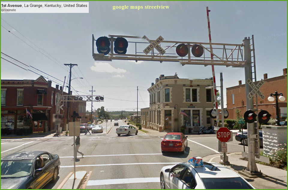 Main and 1st Ave
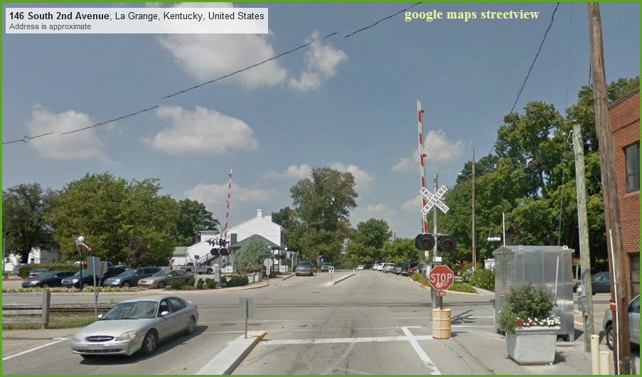 Main and 2nd
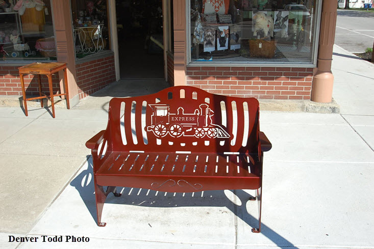
Stuff Seen Around
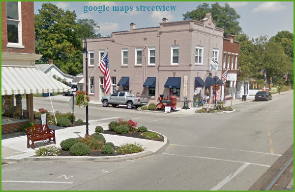


Information kiosk is across the street & tracks from the store pictured above.
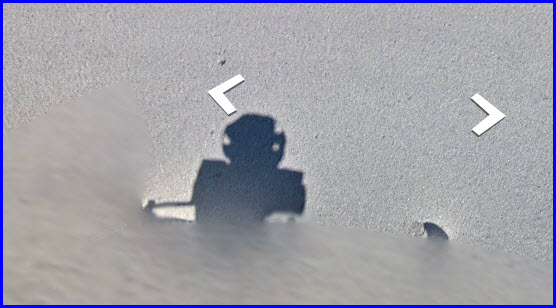
Not too often you find a picture of the camera Google uses on it's trucks..... Look down if you're zooming around in the Streetview on Google!
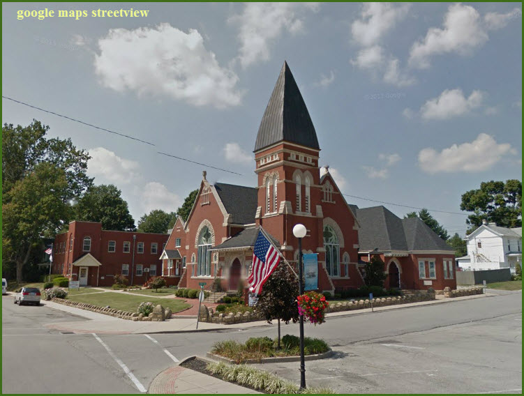
Church at Main and 3rd
I've always enjoyed taking pictures of churches, especially older ones which don't seem like they were "poured out of a box", wouldn't wanna replace the roofing on that spire however! :-)
Disclaimers:
New format 10/26/23: Please check out my disclaimer page for my standard dribble and contact info here
RAILFAN GUIDES HOME
RAILROAD SIGNALS HOME
NEW JAN10/2014, JAN20/2014, JUL14/2020, JUL17/2020, NOV19/2020, MAY16/2024
Last Modified 16-May-2024