RAILFAN GUIDES of the U.S.
Todd's Railfan Guide to
LINDEN IN
the Linden Railroad Museum
In General
Getting Here
Map
Pictures
Signals
Floobydust
USGS Maps
RAILROAD SIGNALS HOME
Location / Name:
Linden IN, Montgomery County
What's Here:
Linden Railroad Museum
Location of former Seaboard/N&W Rwy Diamond
Data:
GPS Coordinates: 40.193235, -86.904874
520 North Main Street
Phone: 765-427-3630
ZIP: 47955
About 50 miles NW of downtown Indianapolis IN
Access by train/transit:
None
The Scoop:
The museum sits at the junction of where the Norfolk & Western Railway and the Monon met.
The Linden Depot is the last surviving junction depot in Indiana. It was built in 1909 to serve the Nickel Plate Railroad which ran east and west from Toledo OH to St. Louis MO, and the Monon Railroad (formerly the CI&L Railroad) which ran north and south from Chicago IL to Louisville KY. The Depot closed in 1973, and re-opened as a Museum on April 13, 1993.
In this original building, which has been restored to its original colors, are housed many items of railroad memorabilia pertinent to the Nickel Plate and Monon Railroads as well as some from other railroads. There is a Museum Store and an antique ride-on train for children aged six and under!
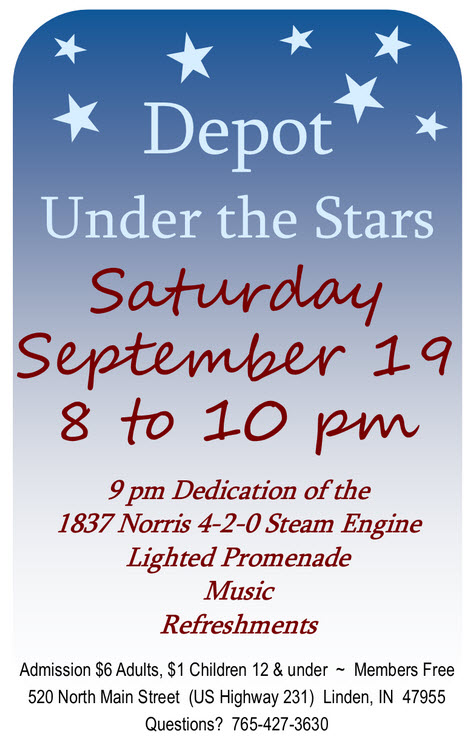
NOTE: Saturday, September 19th, 2020, the museum is having a dedication of their full size replica of the Lafayette Steam Locomotive, which the members have been working on diligently for the past 3 years!!
Linden was platted in 1852 when the railroad was extended to that point. A post office has been in operation at Linden since 1851. The Linden Depot was listed on the National Register of Historic Places in 1990.
The Linden Depot is a historic train station located in Linden, Montgomery County, Indiana. In 1852 the New Albany and Salem Railroad (later Monon) Railroad cut through Montgomery County. The old stage road between Crawfordsville and Linden was given to the railroad as an inducement to get them to build through Linden. 1852 also saw the building of the first Linden depot, on a site behind the present day Post Office. The building was moved to the current location in 1881 when the Toledo, St. Louis and Western Railroad was built through Linden, crossing the Monon at this location.
NKP passenger service ended in 1957. The diamond was removed sometime in the 1970's. Thanks to Gary.

Acknowledgements:
Gary
Denver Todd
Wikipedia
Google Maps
Open Railway Maps
Monon.org
Websites and other additional information sources of interest for the area:
http://www.lindendepotmuseum.org/
https://en.wikipedia.org/wiki/Linden,_Indiana (pretty lame entry for Wikipedia, has nothing about transportation in the town)
https://en.wikipedia.org/wiki/Linden_Depot
http://monon.org/bygone_site/bygone/linden.html
The museum is 8 miles north of I-74 exit 34 on US 231.
Exit 34 is 39 miles northwest of Indianapolis IN highway I-465, the "Beltway" of Indianapolis. Linden is about 60 miles (by road) from downtown Indianapolis.
Exit 34 is 34 miles from the IL/IN border, and 72 miles from Champaign IL.
From Chicago, take I-65 southeast (from Gary IN) to Indianapolis, and get off (maybe) at exit 178, 43/River Rd, take south till you get to US 52 and head south till it runs into US 231 in ~1.5 miles, then Linden is about another 13-14 miles south. It's about a 133 mile trip from downtown Chicago.
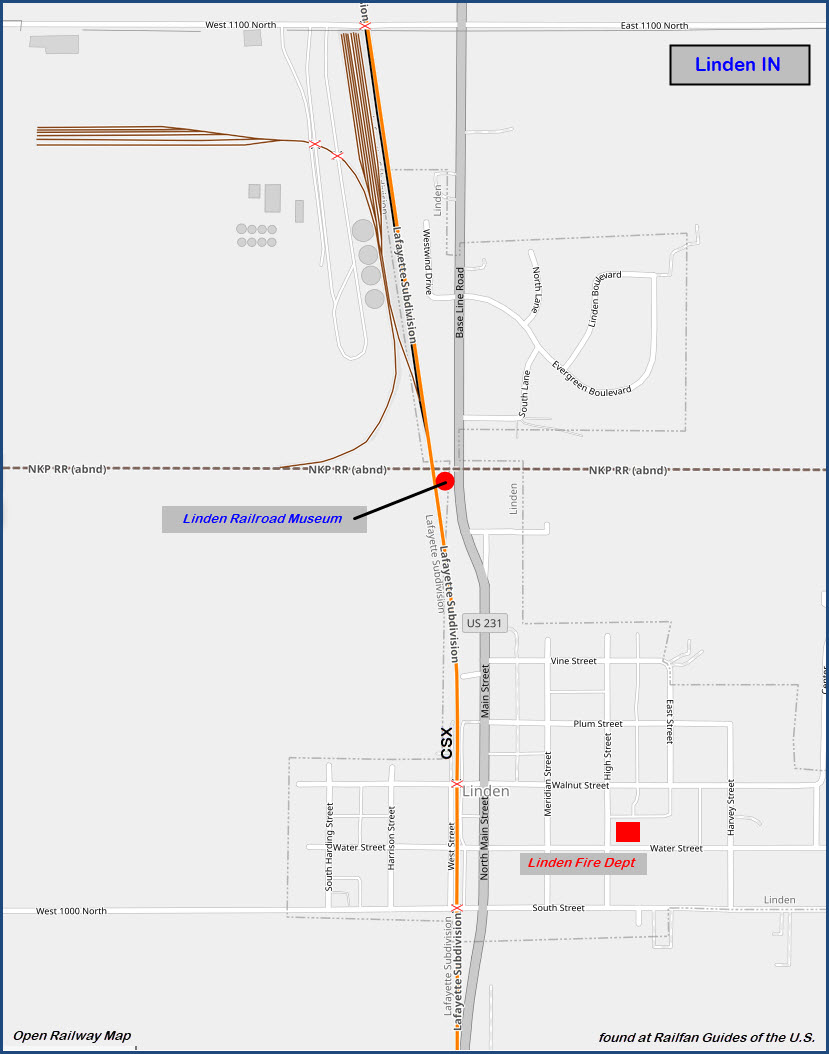
Map
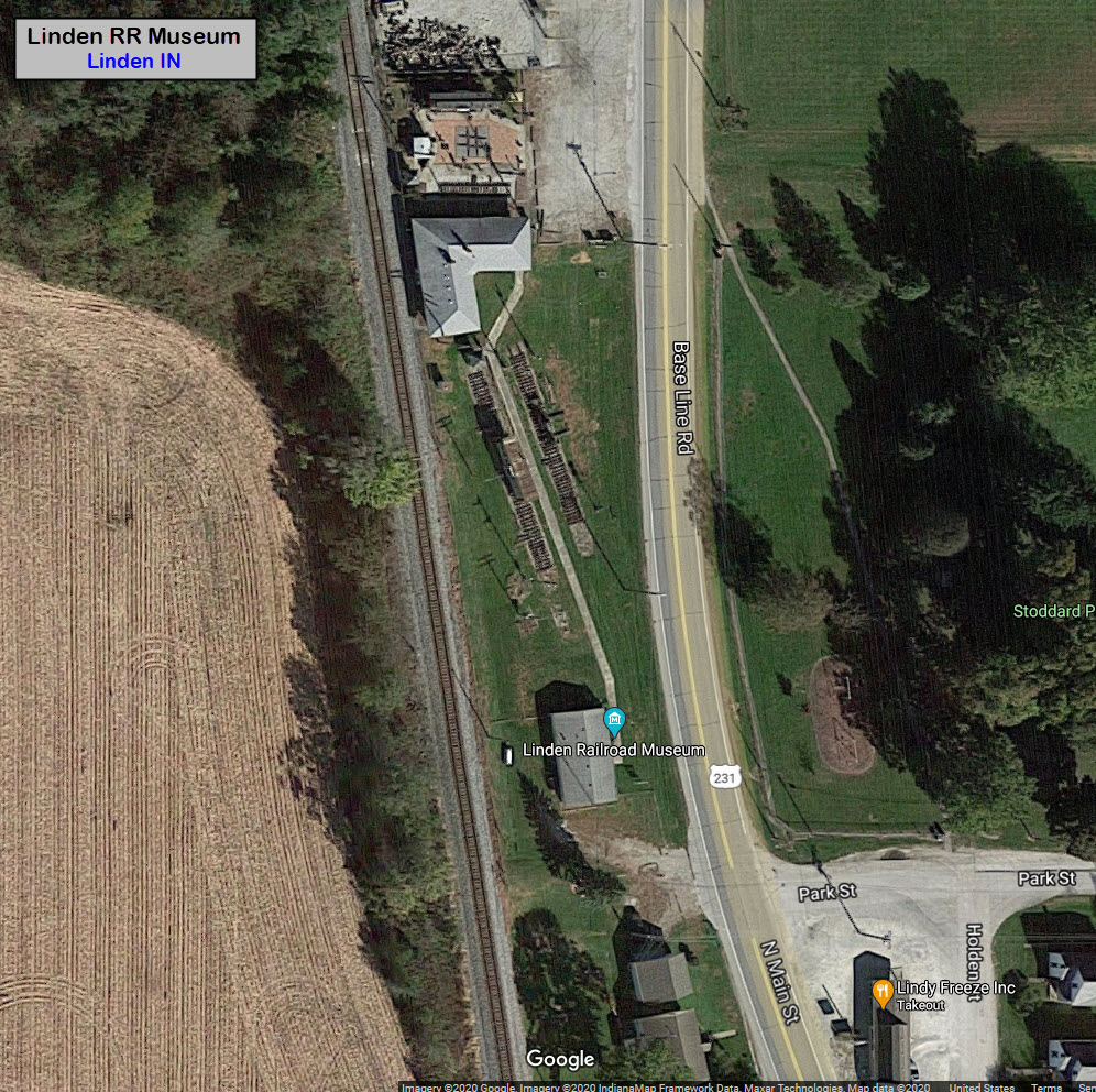
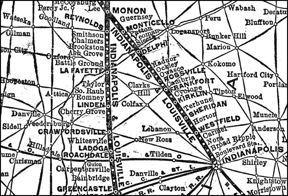
Part of a Monon System Map
From their website:
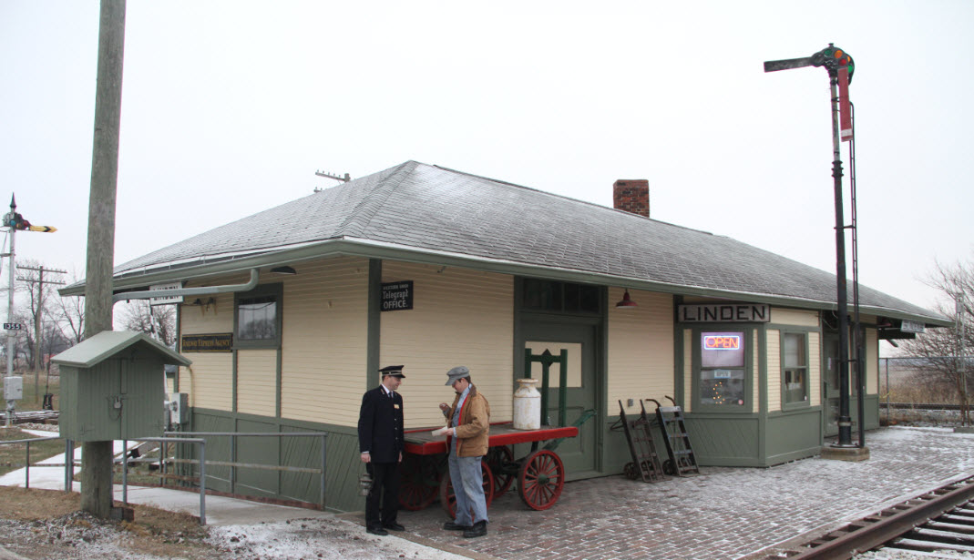
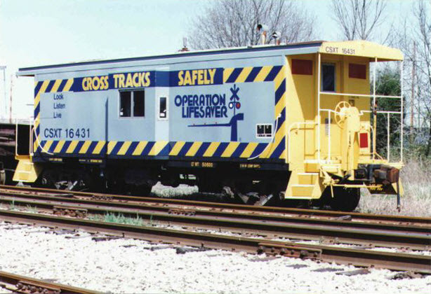
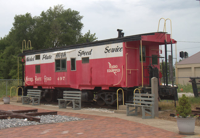
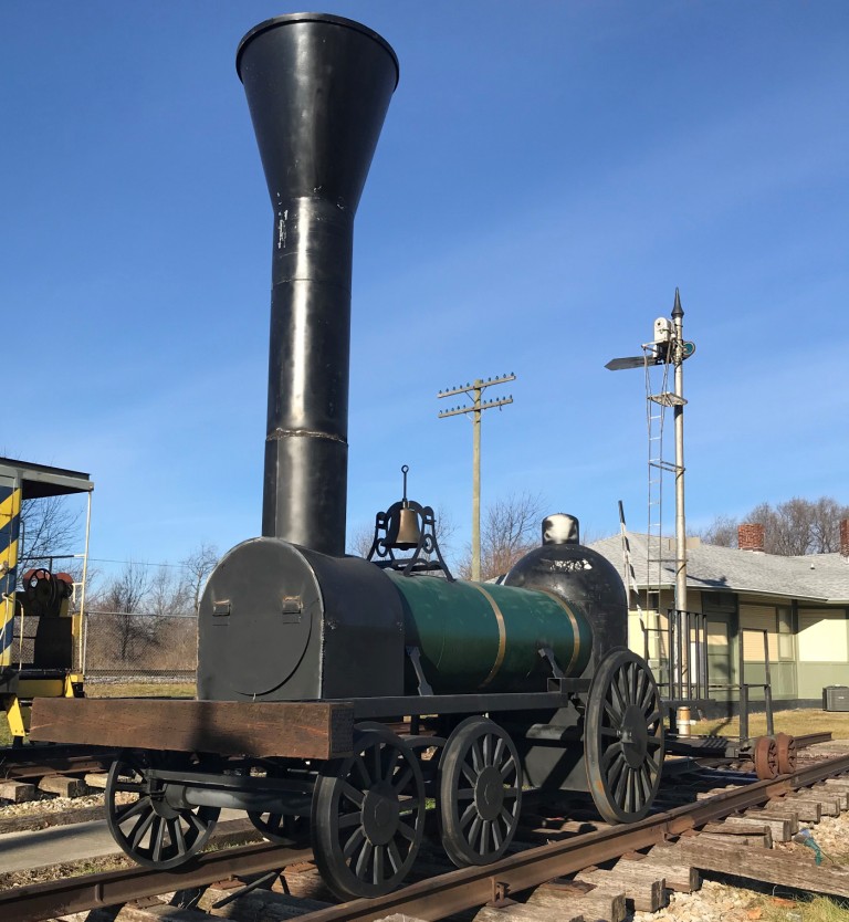
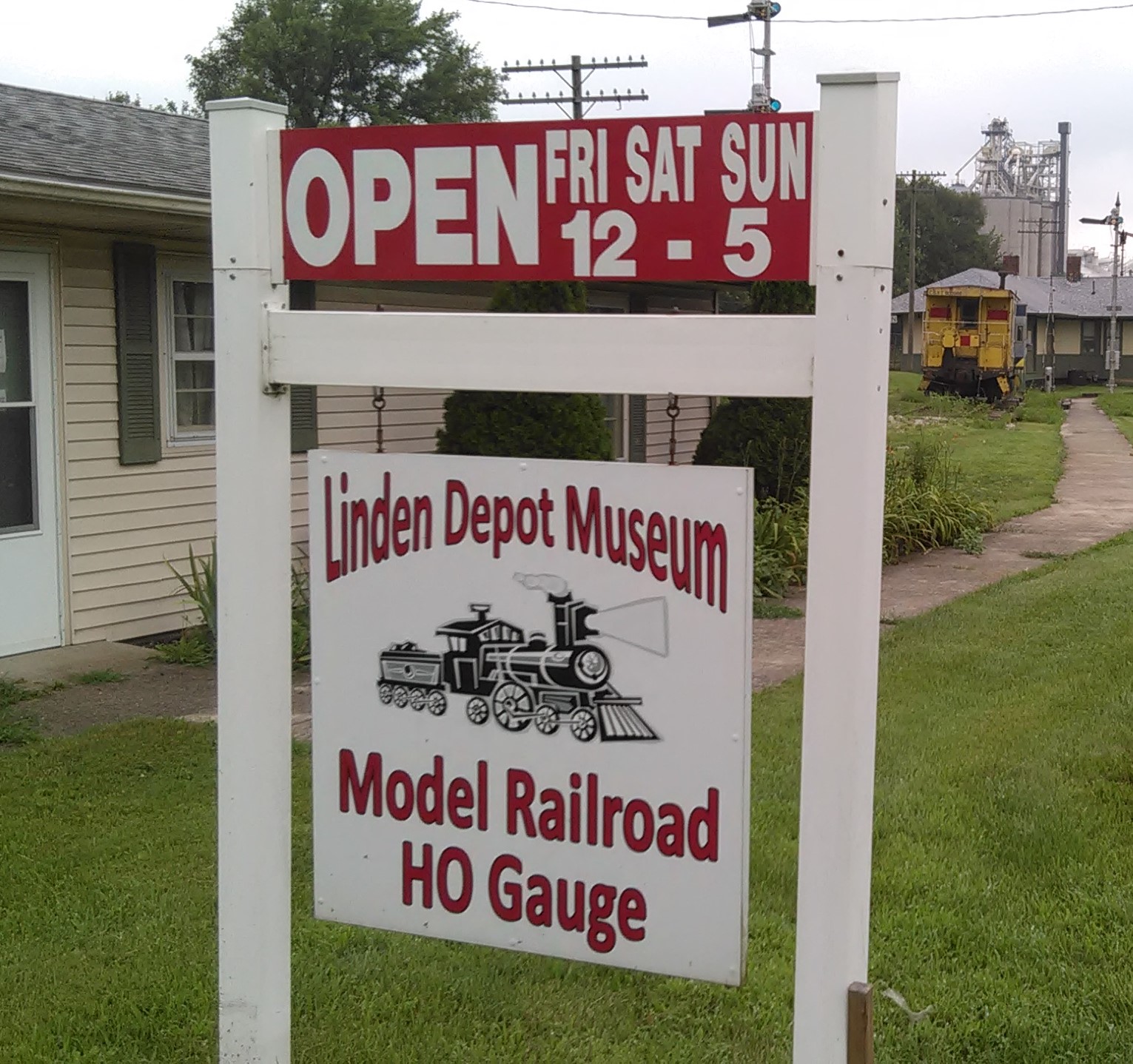
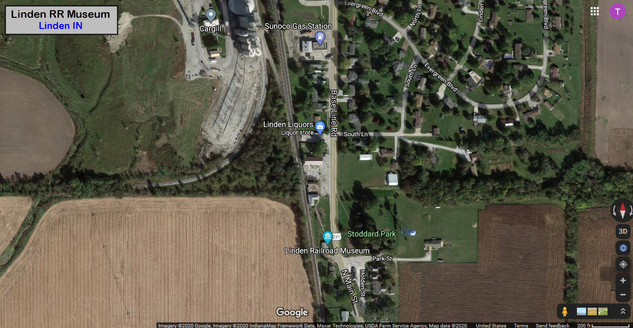
From Google Streetview:
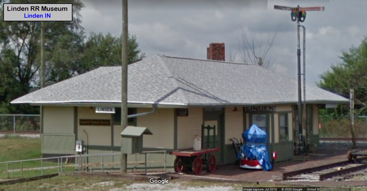
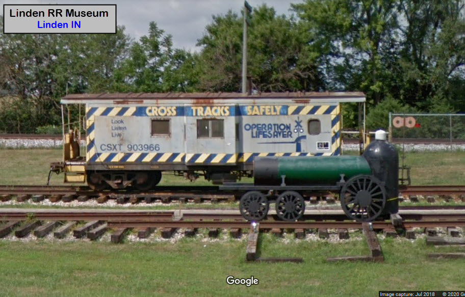
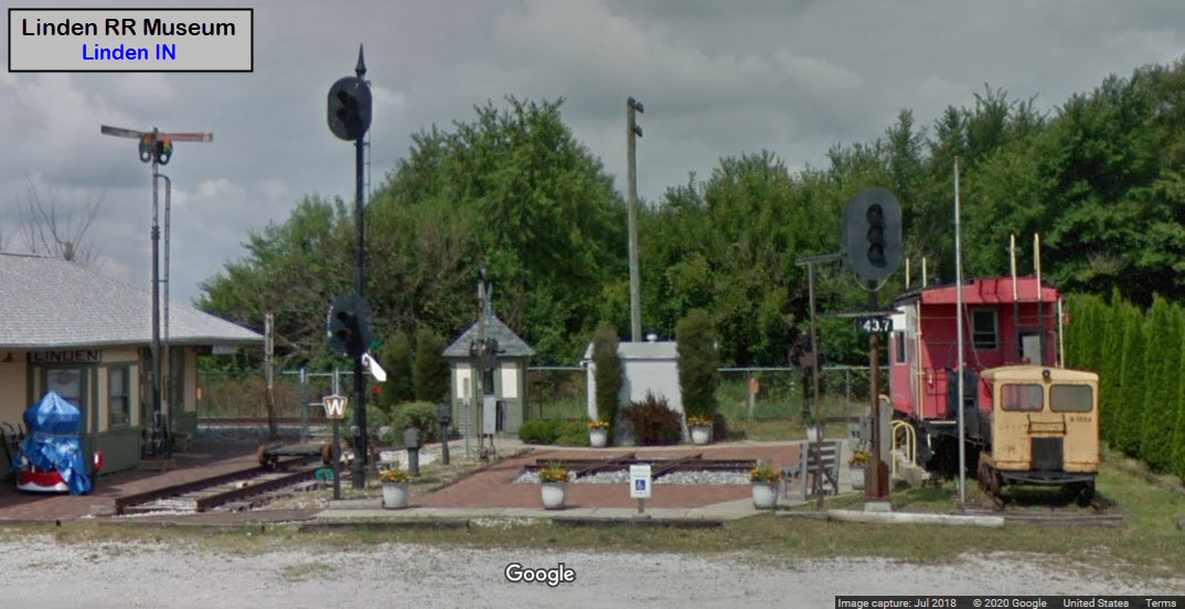
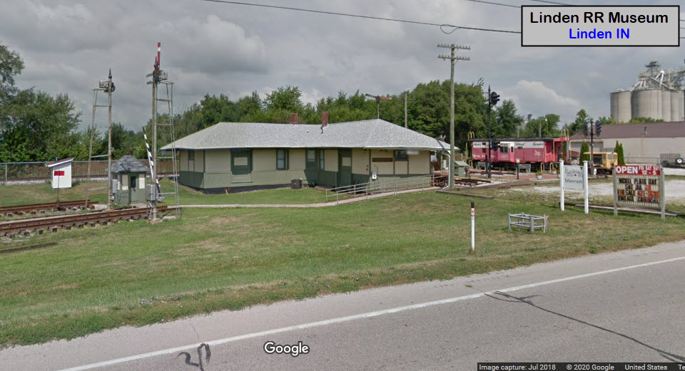
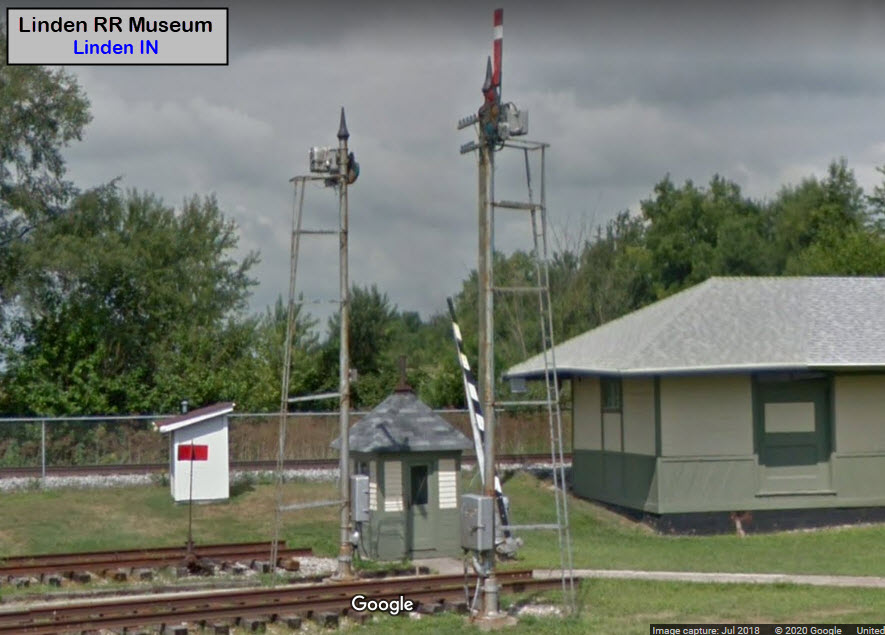
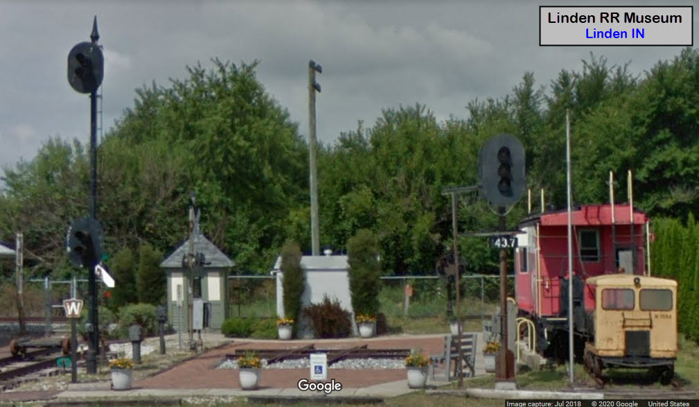
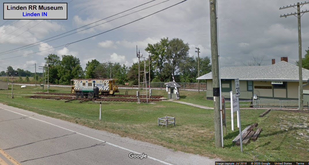
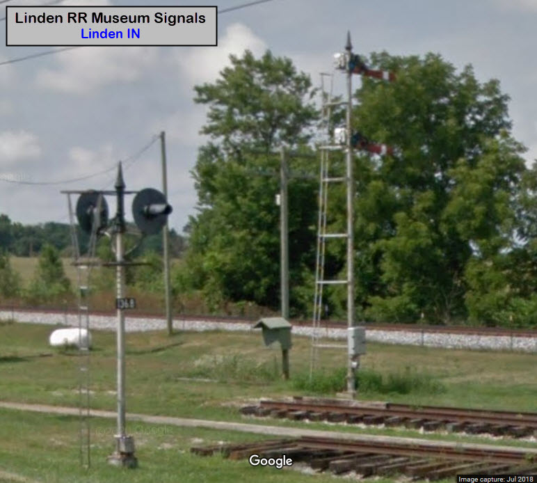
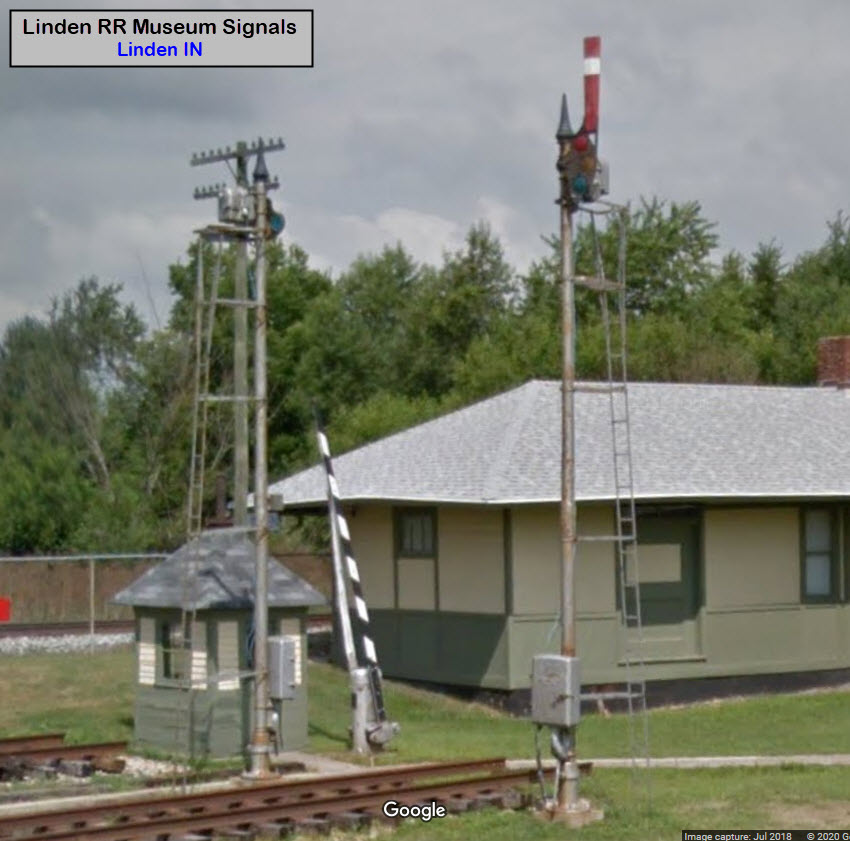
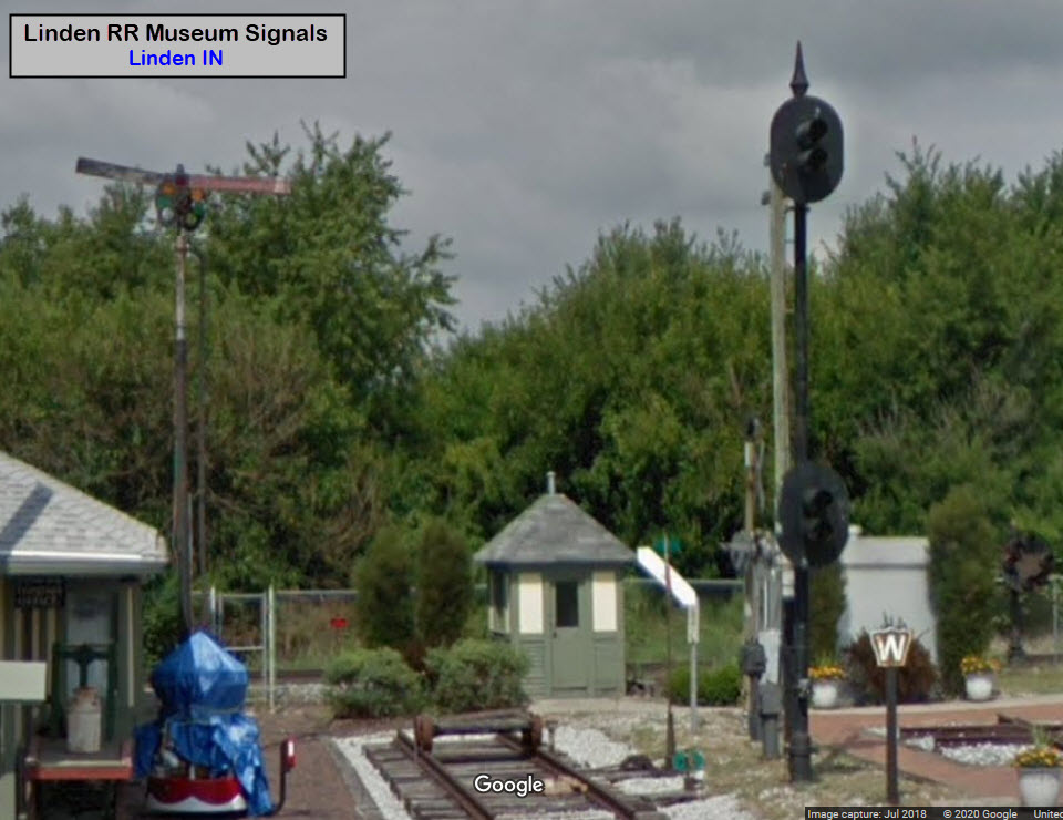
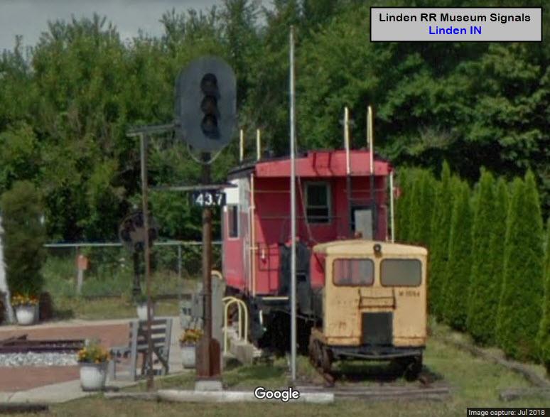
The museum has quite a large variety of railroad signals, some of which are not native to the immediate area, but nonetheless, provides a really nice overview of what used to be out there on almost every railroad of the U.S., including a B&O CPL, semaphores, searchlight, and colorlight signals.
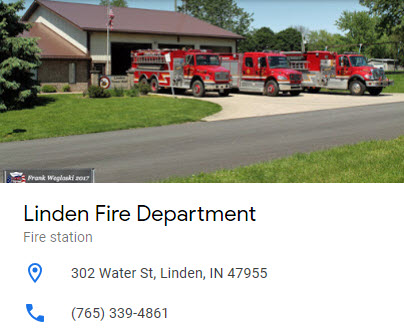
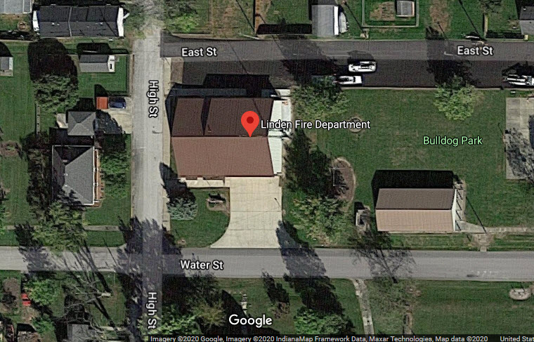
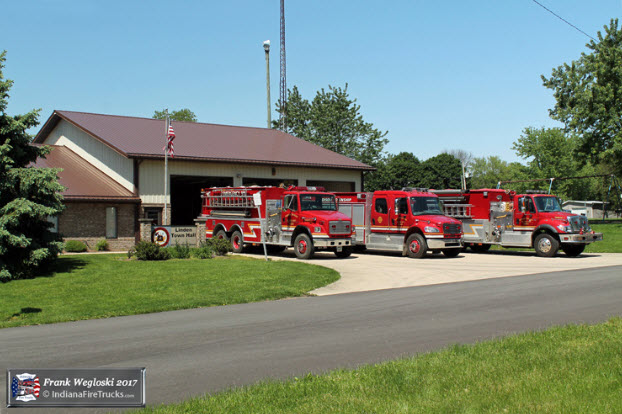
Linden Fire Department
GPS Coordinates: 40.187465, -86.901024302 Water St, Linden, IN 47955
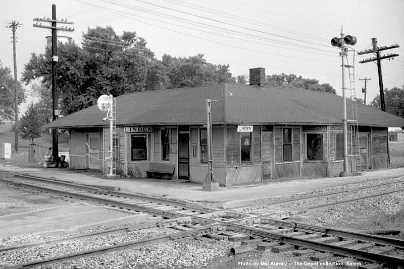 1960's, from Monon.org
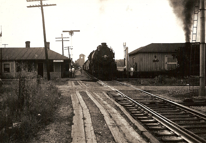 1940's, from Monon.org
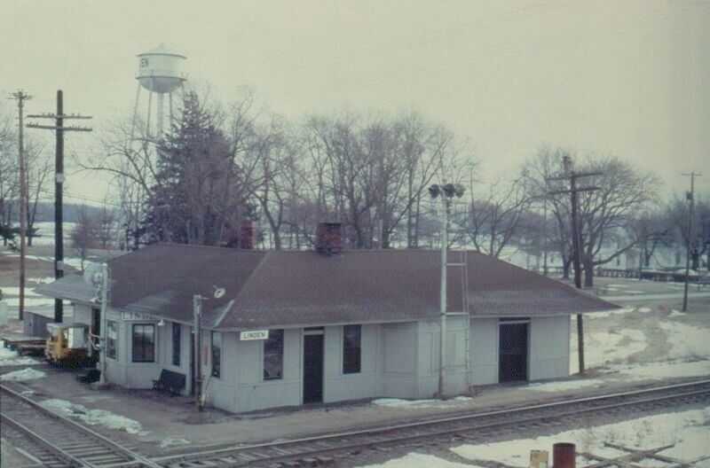 1960's, from Monon.org
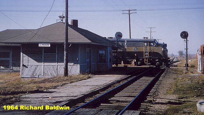 1960's, from Monon.org
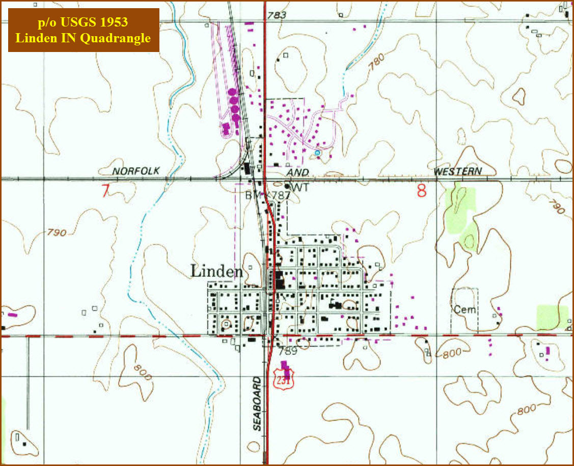
Top map comes from the USGS archives.
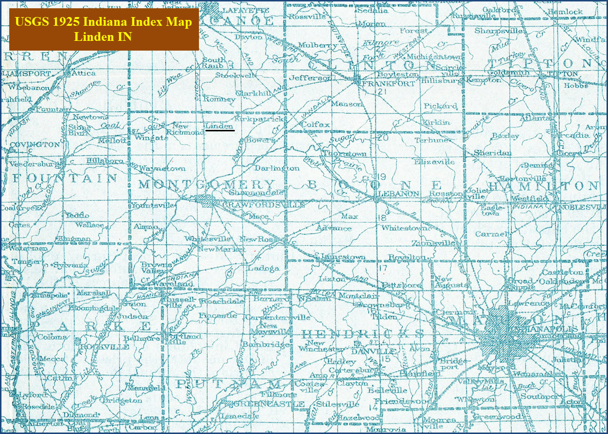
Bottom map courtesy of the University of Texas Library, click here for their index page.
Disclaimers:
I love trains, and I love signals. I am not an expert. My webpages reflect what I find on the topic of the page. This is something I have fun with while trying to help others.
Please Note: Since the main focus of my two websites is railroad signals, the railfan guides are oriented towards the signal fan being able to locate them. For those of you into the modeling aspect of our hobby, my indexa page has a list of almost everything railroad oriented I can think of to provide you with at least a few pictures to help you detail your pike.
If this is a railfan page, every effort has been made to make sure that the information contained on this map and in this railfan guide is correct. Once in a while, an error may creep in :-)
My philosophy: Pictures and maps are worth a thousand words, especially for railfanning. Text descriptions only get you so far, especially if you get lost or disoriented. Take along good maps.... a GPS is OK to get somewhere, but maps are still better if you get lost! I belong to AAA, which allows you to get local maps for free when you visit the local branches. ADC puts out a nice series of county maps for the Washington DC area, but their state maps do not have the railroads on them. If you can find em, I like the National Geographic map book of the U.S..... good, clear, and concise graphics, and they do a really good job of showing you where tourist type attractions are, although they too lack the railroads. Other notes about specific areas will show up on that page if known.
Aerial shots were taken from either Google or Bing Maps as noted. Screen captures are made with Snagit, a Techsmith product... a great tool if you have never used it!
By the way, floobydust is a term I picked up 30-40 years ago from a National Semiconductor data book, and means miscellaneous and/or other stuff.
Pictures and additional information is always needed if anyone feels inclined to take 'em, send 'em, and share 'em, or if you have something to add or correct.... credit is always given! Please be NICE!!! Contact info is here
Beware: If used as a source, ANYTHING from Wikipedia must be treated as being possibly inaccurate, wrong, or not true.
RAILFAN GUIDES HOME
RAILROAD SIGNALS HOME
NEW 10/14/2018
Last Modified
17-Sep-2020