
In General
Getting Here
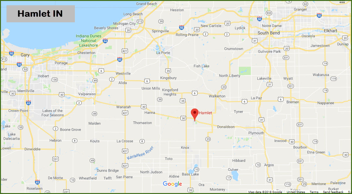
Map
Pictures
Signals
Floobydust
USGS Maps
RAILROAD SIGNALS HOME
Location / Name:
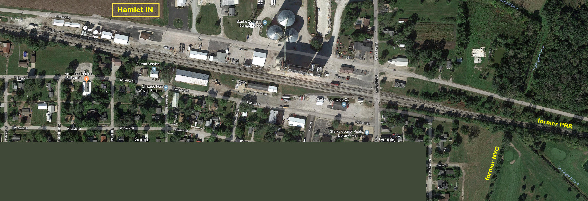
Hamlet IN, Starke County
What's Here:
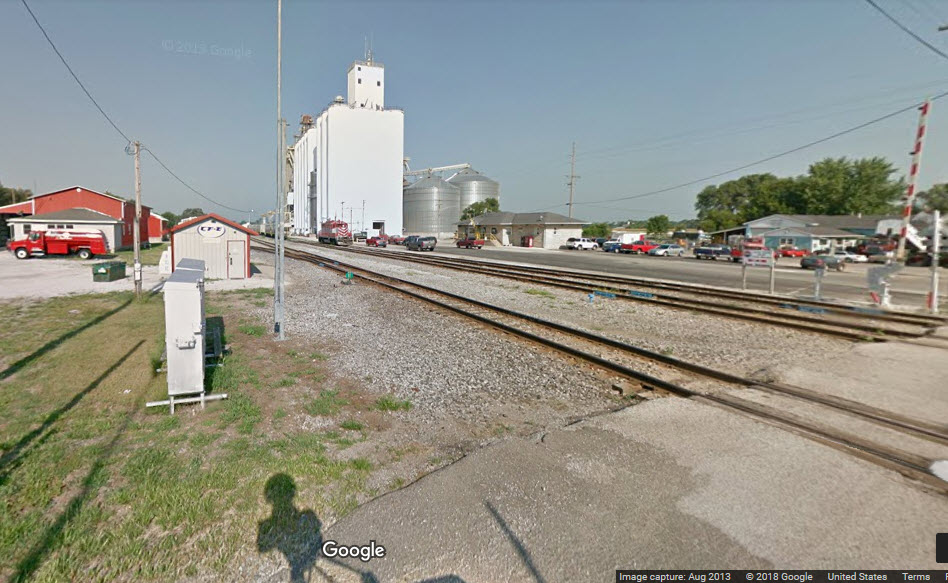
Passing Siding
Engine for the Starke County Co-Op, usually a CF&E engine
Former junction between the NYC and PRR
Data:
GPS Coordinates: 41.382013, -86.582236 (at the grade crossing)
Phone A/C: 574
ZIP: 46532
Access by train/transit:
None
The Scoop:
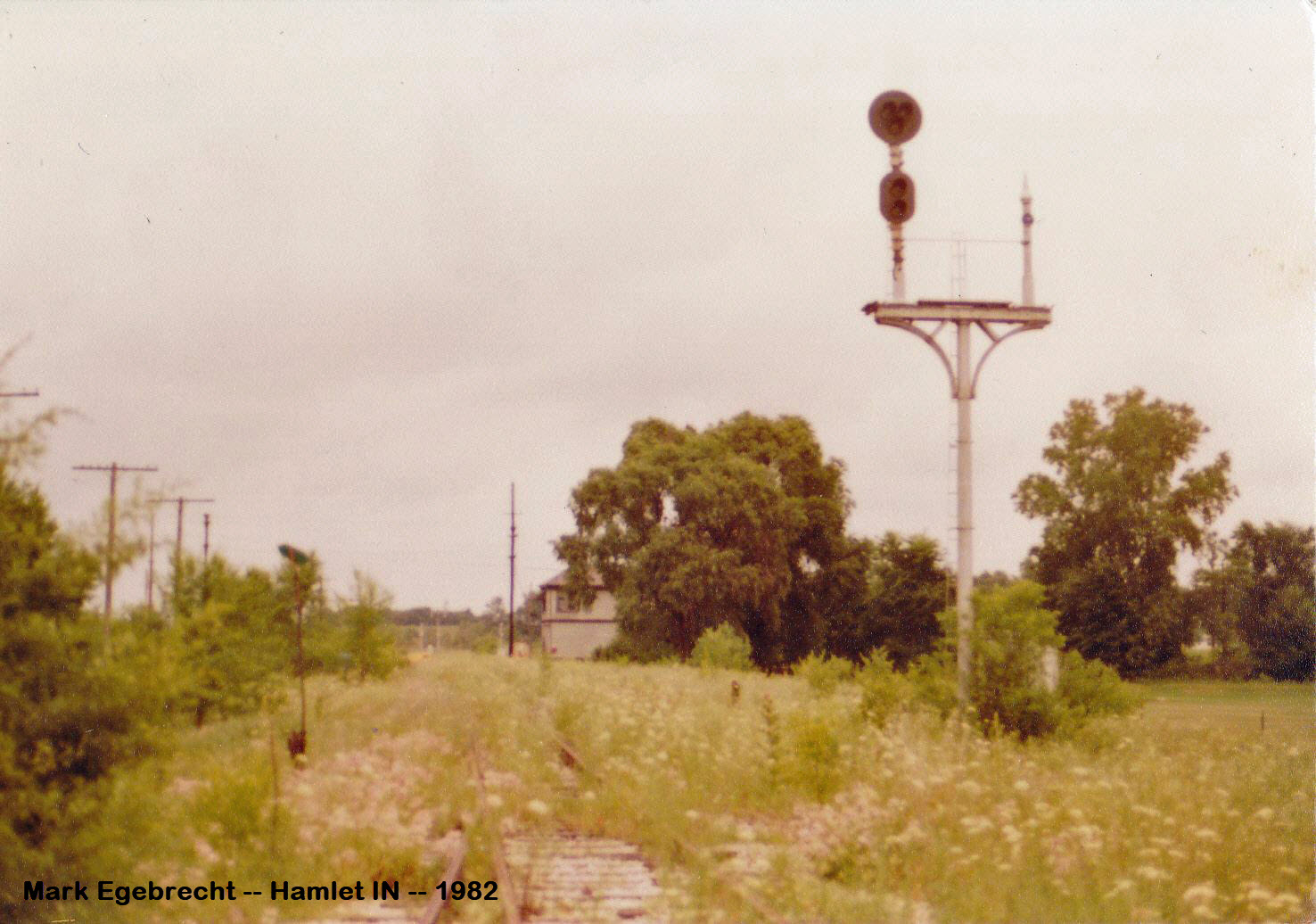
Hamlet used to sport a diamond between the Pennsy and the New York Central's Kankakee Belt Line. In 1968, it all became the Penn Central, and then Conrail in 76, so I am unsure as to when the NYC line was abandoned and taken up. If the date for the picture is accurate, the track, signal, and tower were still with us in 1982.
This whole page came about because my buddy Jim forwarded me a picture of the old NYC signals that were still there in 1982. Jim found this picture, taken by Mark Egebrecht, posted on Facebook. If Mark has any additional photos of Hamlet from his trip here in 1982, maybe he could do us a favor and forward them to me. This is not the first time I have created a page solely on one picture.
Judging from the number of pictures I have come across, Hamlet seems to be a popular spot for pictures!
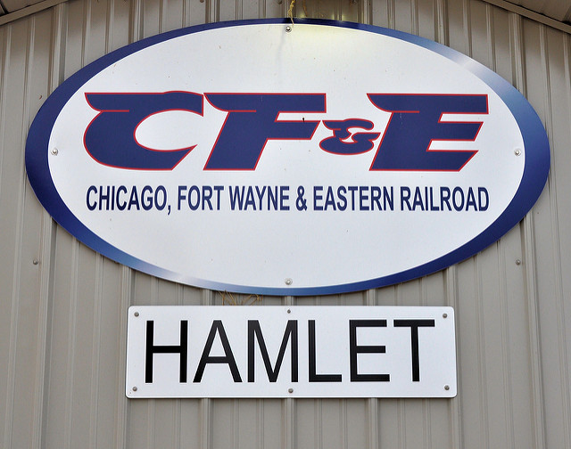
From Wikipedia: The Conrail line between Chicago and Fort Wayne runs through the town (it says this as of 9/18). Of course, we all know that the Pennsy line is now used by the Chicago, Ft. Wayne & Eastern Railroad (CF&E), and additional pictures are on my Hanna IN page.
Also from Wikipedia: Hamlet was named after John Hamlet, who established the town in 1863. The Hamlet post office has been in operation since 1864.
Acknowledgements:
Jim Mihalek
Mark Egebrecht
Ryan Kertis
penn central 74
the Mastadon (really!)
austinsasse
Websites and other additional information sources of interest for the area:
https://en.wikipedia.org/wiki/Hamlet,_Indiana
http://www.flickriver.com/places/United+States/Indiana/Hamlet/
http://www.scpl.lib.in.us/historical/scpl_files/railroading/index.html 150 years of railroading in Starke County
US 30 brings you in from the east and the west.
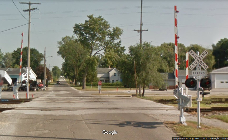
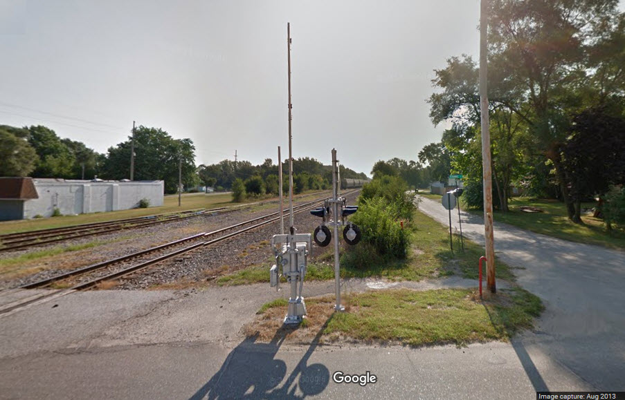
The shot below is from Hamlet in 1982, long after the New York Central stopped running thru town. We can just see the tower behind the trees, and we can tell, just from the signals seen here, that there was an unsignaled siding off the right on the NYC main, hence the doll post.
This was found on the Wikipedia page for Hamlet.
It is dated 1910, and I'm guessing the station is on the New York Central, based on the picture above from Mark.
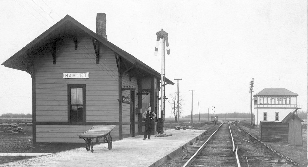
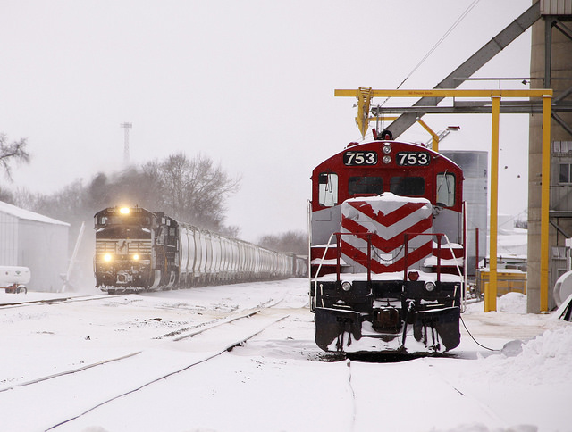 photo by Ryan Kertis
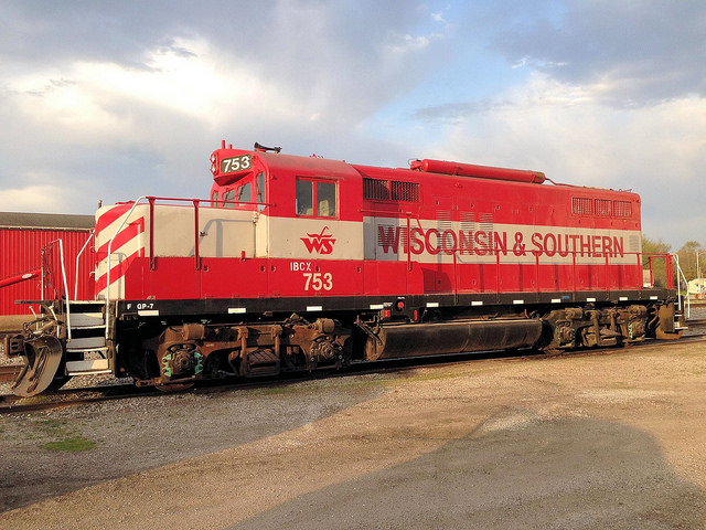 photo by penn central 74
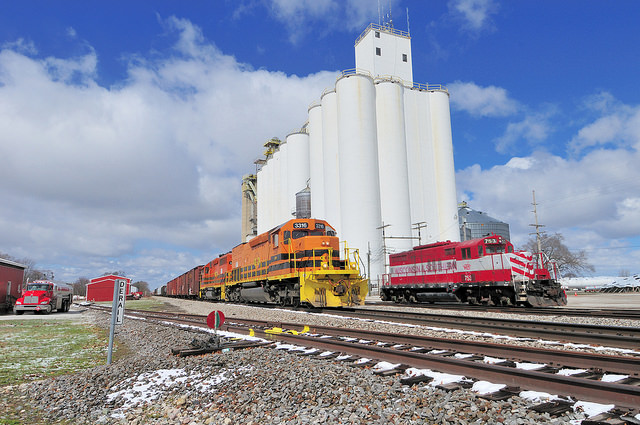 photo by the Mastadon
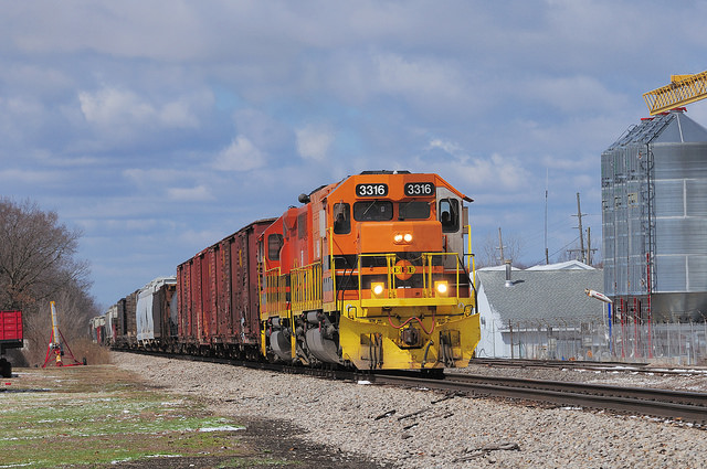 another one by the Mastadon
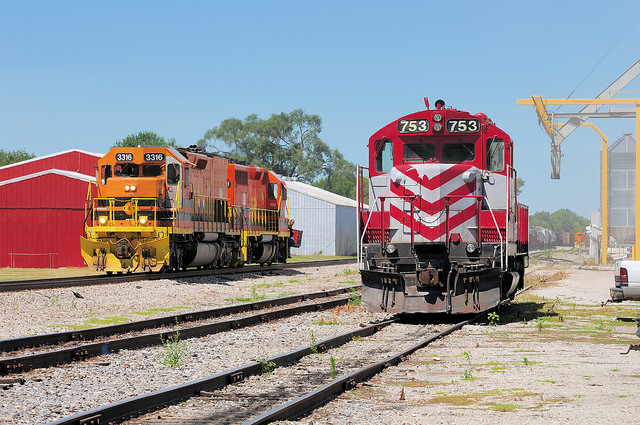 again, by the Mastadon
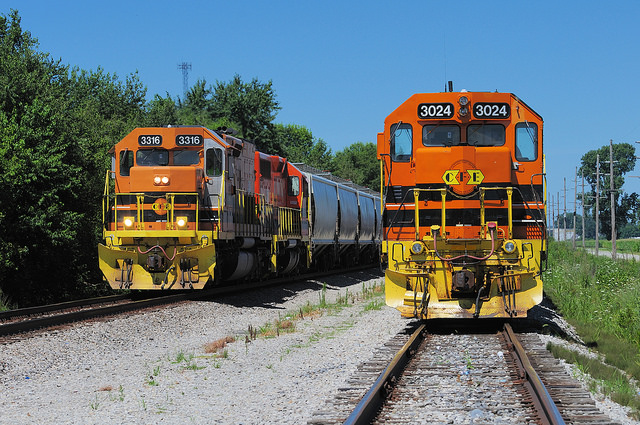 last one by the Mastadon
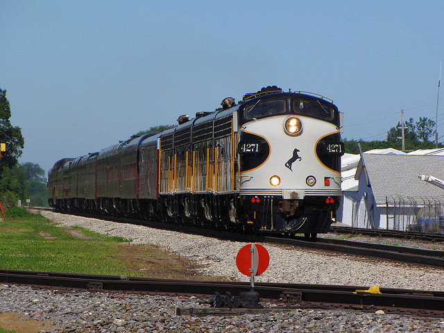 photo by austinsasse
Pictures at and from the Starke St Grade Crossing, notice the pedestrian crossing gate:
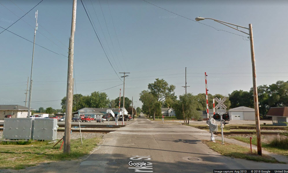
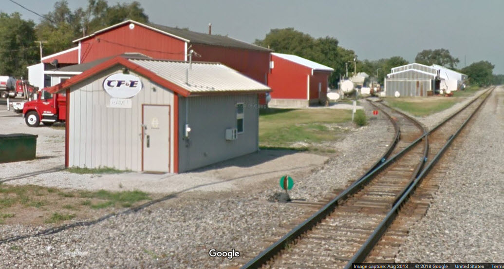
The CF&E "office" in Hamlet, by Starke Rd.
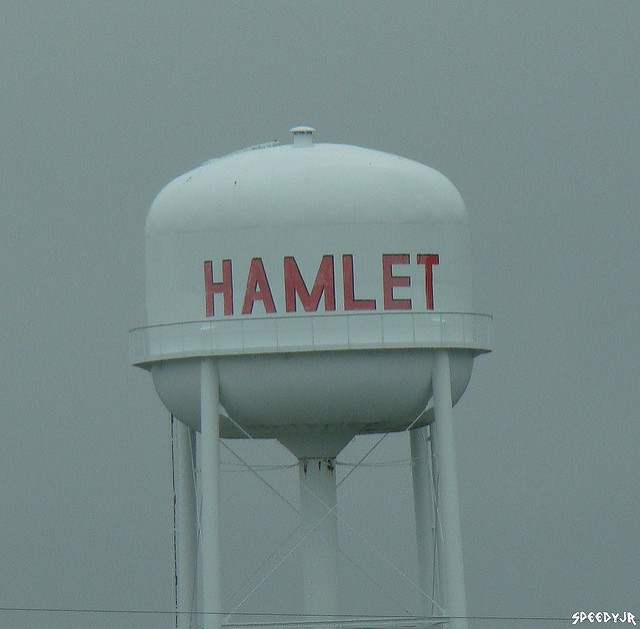
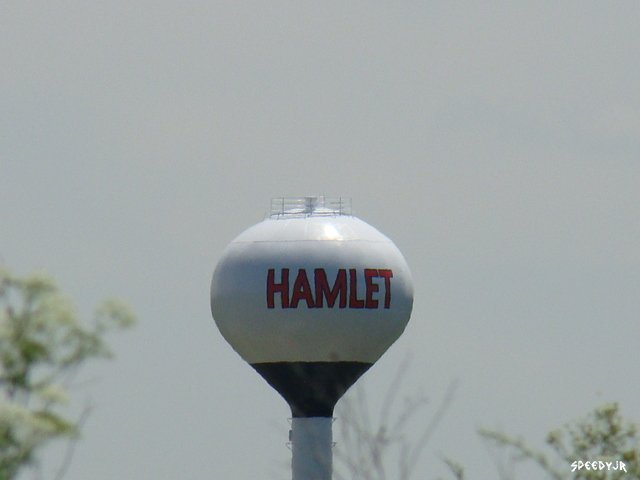
The water tower. On that Flickriver page listed above, they have pictures of two, only one is correct, the one with the side supports.
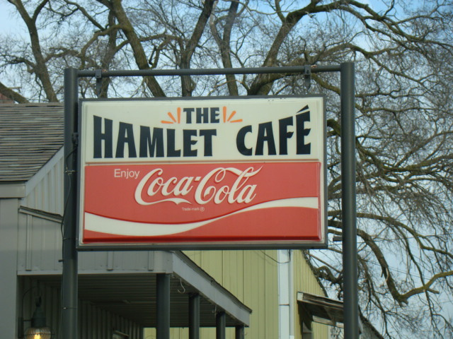 Might be the only place to eat in town :-)
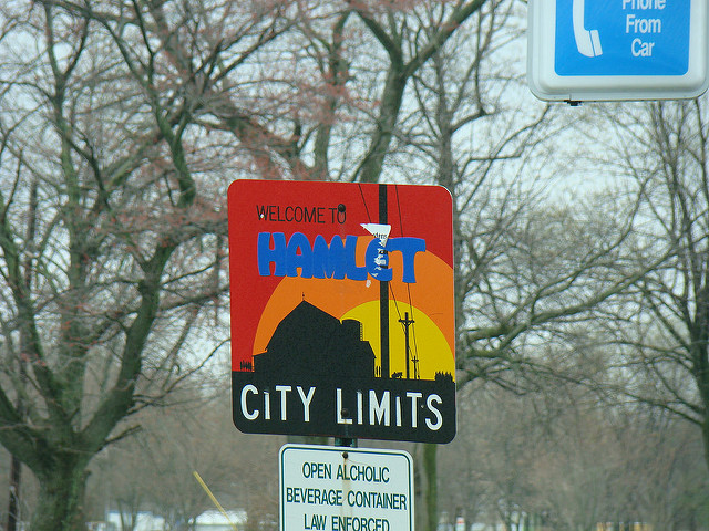 Hello, welcome to......
Courtesy of the University of Texas Library, click here for their index page.
Disclaimers:
I love trains, and I love signals. I am not an expert. My webpages reflect what I find on the topic of the page. This is something I have fun with while trying to help others.
Please Note: Since the main focus of my two websites is railroad signals, the railfan guides are oriented towards the signal fan being able to locate them. For those of you into the modeling aspect of our hobby, my indexa page has a list of almost everything railroad oriented I can think of to provide you with at least a few pictures to help you detail your pike.
If this is a railfan page, every effort has been made to make sure that the information contained on this map and in this railfan guide is correct. Once in a while, an error may creep in :-)
My philosophy: Pictures and maps are worth a thousand words, especially for railfanning. Text descriptions only get you so far, especially if you get lost or disoriented. Take along good maps.... a GPS is OK to get somewhere, but maps are still better if you get lost! I belong to AAA, which allows you to get local maps for free when you visit the local branches. ADC puts out a nice series of county maps for the Washington DC area, but their state maps do not have the railroads on them. If you can find em, I like the National Geographic map book of the U.S..... good, clear, and concise graphics, and they do a really good job of showing you where tourist type attractions are, although they too lack the railroads. Other notes about specific areas will show up on that page if known.
Aerial shots were taken from either Google or Bing Maps as noted. Screen captures are made with Snagit, a Techsmith product... a great tool if you have never used it!
By the way, floobydust is a term I picked up 30-40 years ago from a National Semiconductor data book, and means miscellaneous and/or other stuff.
Pictures and additional information is always needed if anyone feels inclined to take 'em, send 'em, and share 'em, or if you have something to add or correct.... credit is always given! Please be NICE!!! Contact info is here
Beware: If used as a source, ANYTHING from Wikipedia must be treated as being possibly being inaccurate, wrong, or not true.
RAILFAN GUIDES HOME
RAILROAD SIGNALS HOME
NEW 09/15/2018
Last Modified
16-Sep-2018