
In General
Getting Here
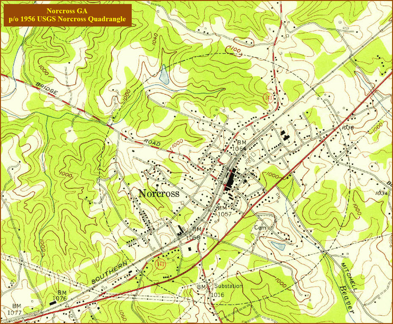
Map
Sights
Bridges
Signals
Fire & Police
Floobydust
USGS Maps
RAILROAD SIGNALS HOME
Location / Name:
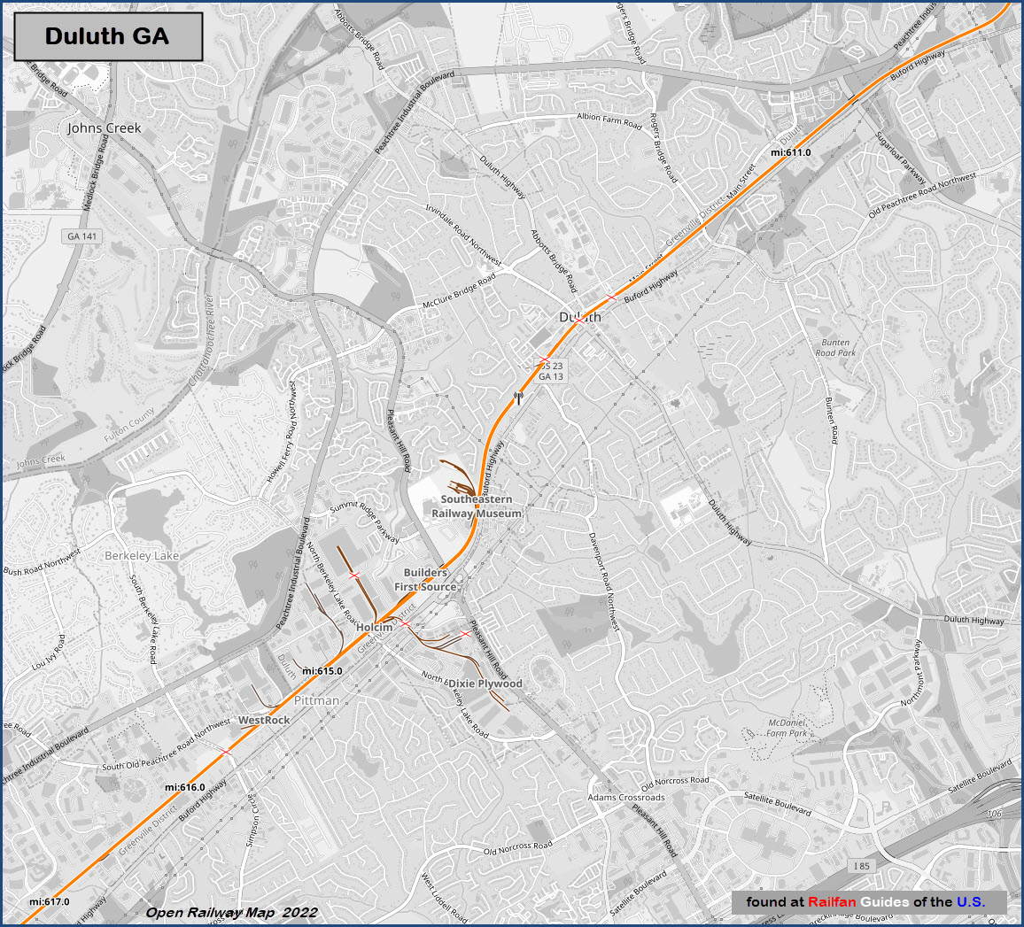
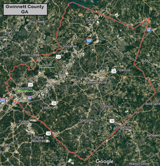
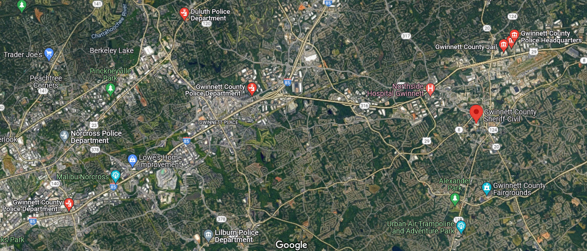
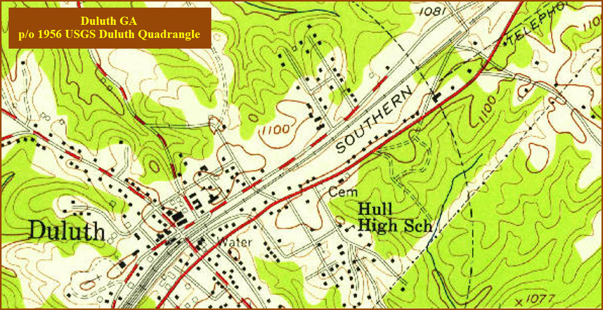
Duluth GA, Gwinnett County
What's Here:
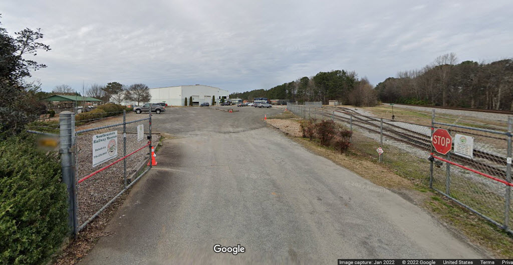
Southeastern Railway Museum
Duluth Depot
Norfolk Southern Mainline from Atlanta to SC, NC and Petersburg VA
Data:
GPS Coordinates: as needed
Phone A/C: 770
Duluth ZIP: 30096
Access by train/transit:
None
The Scoop:
Duluth and Norcross GA sit on the north east side of Atlanta. The main line going through there is Norfolk Southern, and is the old Southern Railway line. If we keep going north, we will pass through Spartansburg SC, Charlotte and Raleigh NC (and the historic Spencer Shops), Lynchburg VA, and finally wind up in Manassas VA. Another route also takes you over to Petersburg and Richmond VA. Last I heard, there were around 10-15 trains a day, plus Amtrak.
The big attraction to coming to Duluth is the Southeastern Railway Museum. They have done a very nice job of collecting (especially) locally oriented railroad equipment, and have it easily arranged to view and photograph.
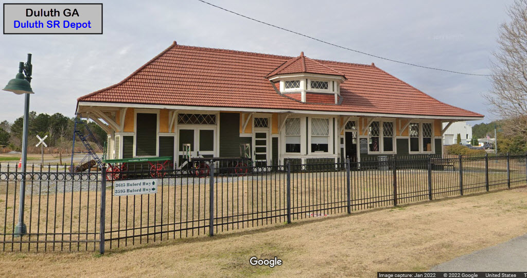
Duluth hosts a former Southern Railway depot, but has been moved (twice) to it's current location and is the home base for the historical society. It sits at the entrance of the Southeastern Railway Museum property.
Acknowledgements:
Denver Todd
Google Maps
Bing Maps
Wikipedia
USGS
the clio.com
the heart of norcross.com
Websites and other additional information sources of interest for the area:
https://www.theclio.com/entry/40821
https://www.norcrossga.net/325/History
https://www.theheartofnorcross.com/businessdirectory/the-crossing-steakhouse-history
https://railfanning.org/trackside/norcross/
https://www.duluthhistoricalsociety.org/duluth_train_depot
The main access to Duluth is via I-85, which comes out of Atlanta and heads NE to South Carolina.
Exit #105, Pleasant Hill Rd, takes you up to the south side of Duluth (about 2.5 miles).
This exit gets you closest to the Southeastern Railway Museum, it's about 1/3 of a mile off Pleasant Hill Rd.
Exit #107, Duluth Hwy/120 takes you up to the middle of Duluth, about 4.8 miles.

GPS Coordinates: 33.98857, -84.15538
3595 Buford Hwy, Duluth GA 30096
https://www.train-museum.org/

The
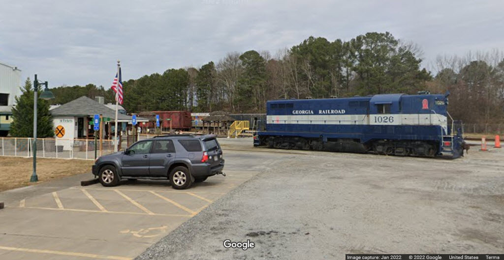
The museum has a very tight photo policy, which I don't understand, I dunno how enforced it is..... are they going to come knocking at my door? :-) :-)
GPS Coordinates: 33.98724, -84.15454
3595 Buford Hwy, Duluth GA 30096
https://www.duluthhistoricalsociety.org/duluth_train_depot
The historic Duluth Train Depot is the home of the Duluth Historical Society at the Southeastern Railway Museum in Duluth. The station was built in 1871 by the Southern Railway, which became part of the Norfolk Southern family in 1980.
From the Duluth Historical Society: Declines in passenger service and changes in rail freight led to the closing of the Duluth depot by the early 1950s. Eventually, the Southern Railway, which then owned the property, encouraged the city to find a use for the building. The city lacked the resources to do so, and in 1975 the depot building was moved by the late Scott Hudgens, a local developer, to a site on Pleasant Hill Road where the Joan Glancy Rehabilitation Center is located today. The depot was used as an office for a major development project in progress at the time.
In 1986 Hudgens again moved the depot across Pleasant Hill Road to W. P. Jones Park. At this location, the city used the building as a police substation and an office for city parks personnel and related recreation programs.
The depot was moved to the entrance to the Southeastern Railway Museum on Buford Highway in August 2008. Under a lease agreement between Duluth and the museum, the city retained ownership of the depot, and the Southeastern Railway Museum became responsible for restoring the building and operating it as a historic exhibit.
At the end of 2014, The Duluth Historical Society moved into the Depot and it is still operating the Society from this location. It regularly places historic exhibits in the Depot. end DHS
Bridges, Overpasses and Tunnels
GPS Coordinates: 34.02036, -84.11765
A steel beam bridge on poured concrete abutments, two spans-one over 2 lanes/the other over 4 lanes, each crossing three lanes of traffic, 9 beams supporting each span, carrying two tracks.
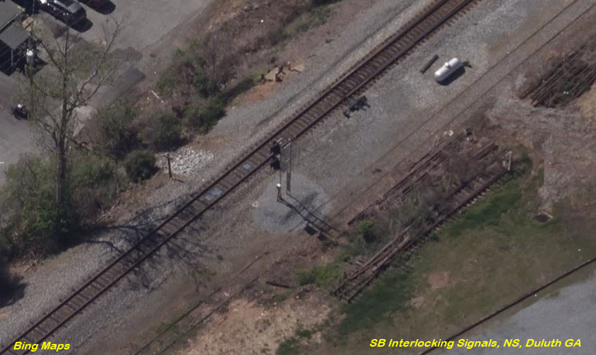
Lots of industrial sidings on the south side of this bridge, and an interlocking on the south end of the siding.
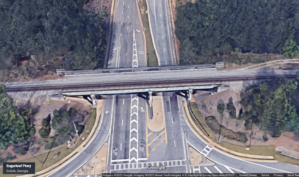
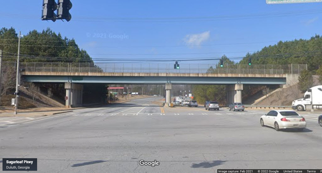
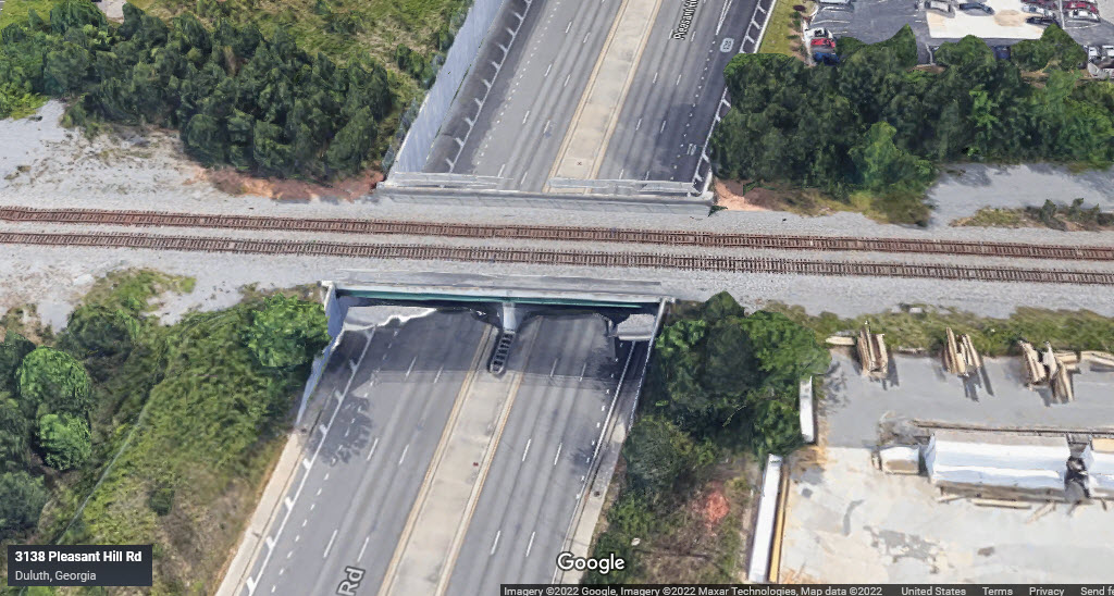
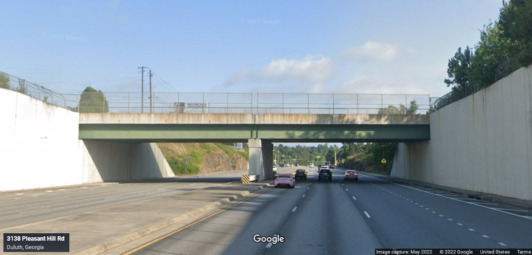
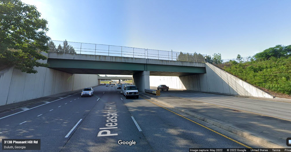
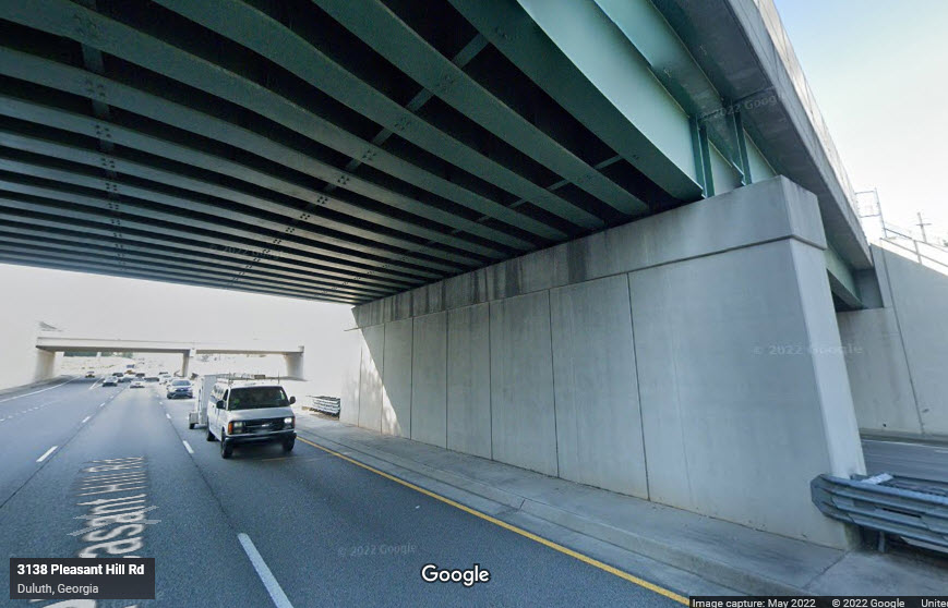
GPS Coordinates: 33.98270, -84.15739
A steel beam bridge on poured concrete abutments, two spans, each crossing three lanes of traffic, 16 beams supporting each span, carrying two tracks.
Lots of industrial sidings on the south side of this bridge, and an interlocking on the south end of the siding.
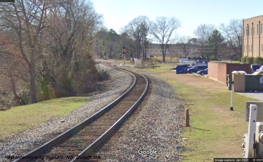
GPS Coordinates: 33.00073, -84.14626
Signals for the south end of the siding.
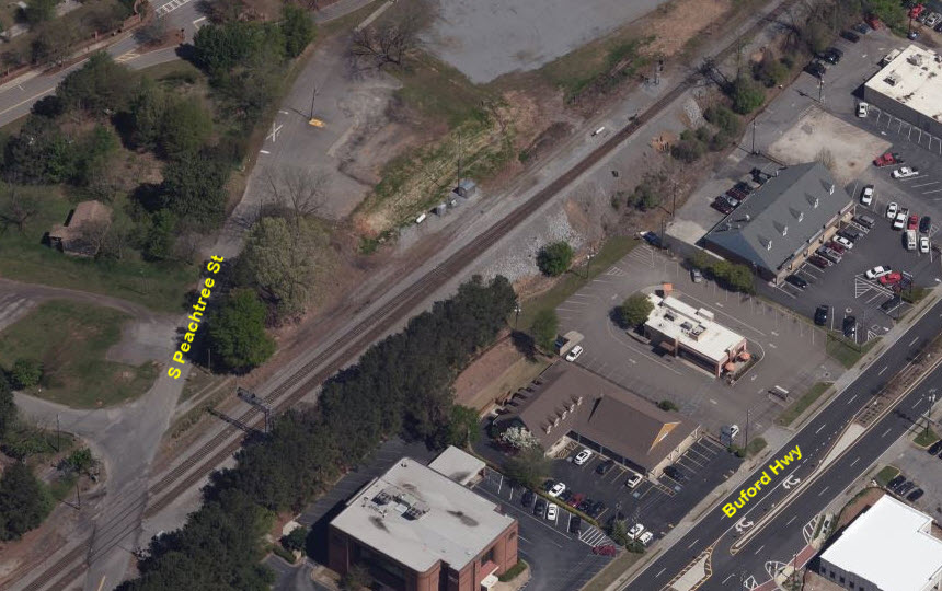
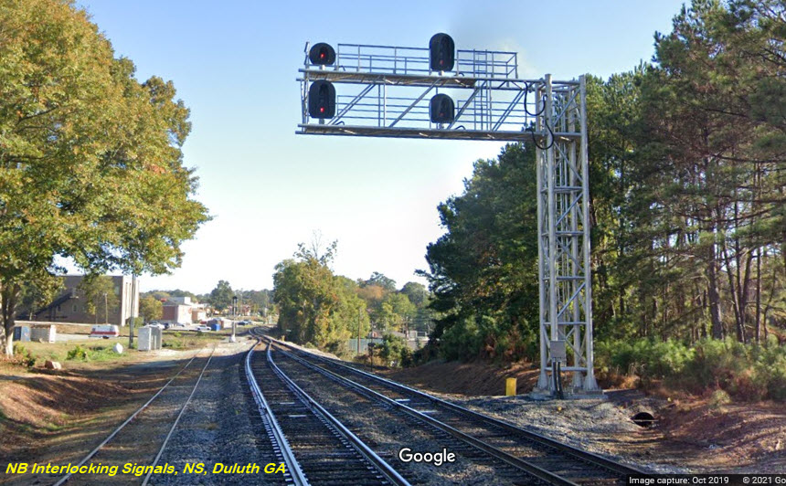
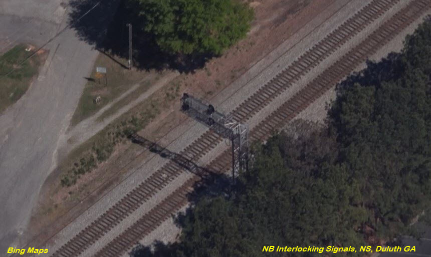
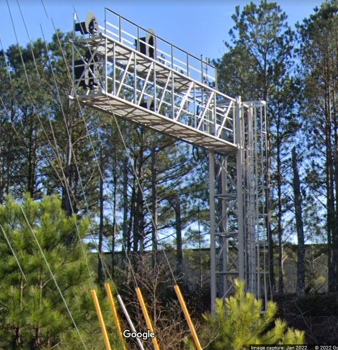
GPS Coordinates: 33.99963, -84.16820
Cantilever mounted signals for the north end of the siding, adjacent to South Peachtree Rd.
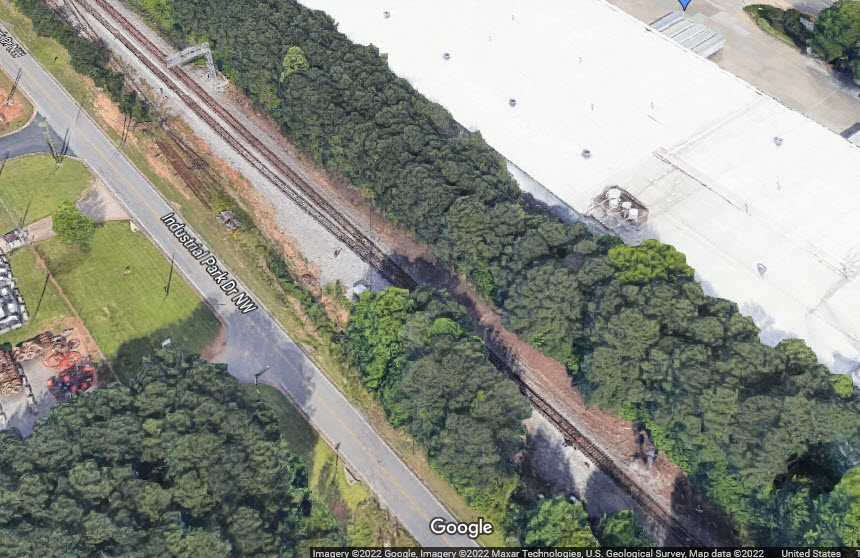
GPS Coordinates: 33.97504, -84.16820
Can't good pictures without an in person visit, but probably the same as the north end. Industrial Park Dr NW gets you here.

Gwinnett County Fire and Emergency Services has 31 fire stations to serve and protect you.
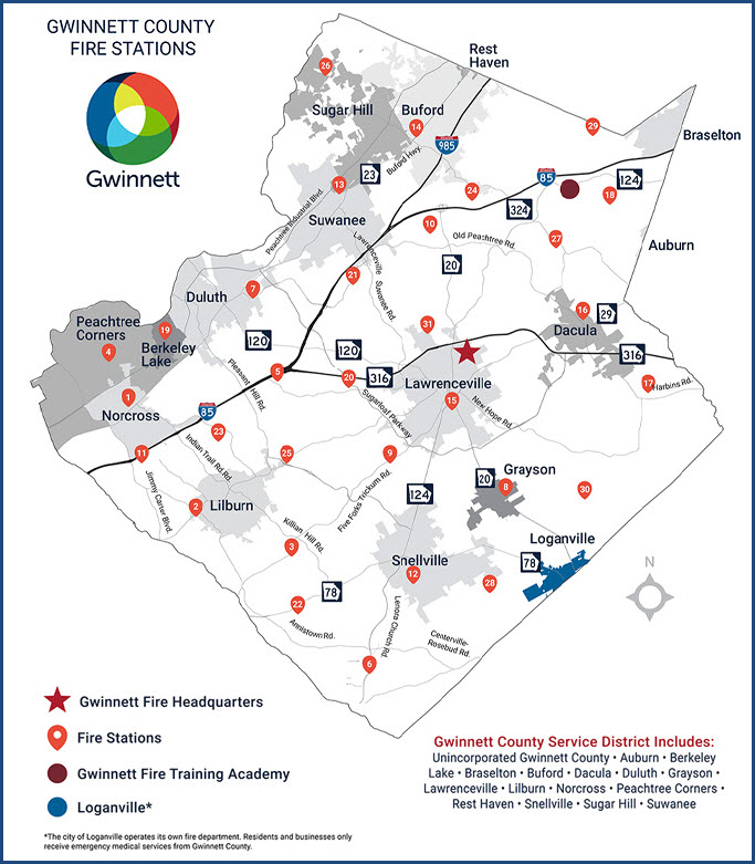
https://www.gwinnettcounty.com/web/gwinnett/departments/fireandemergencyservices/organization/divisions/operations/stations/
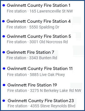
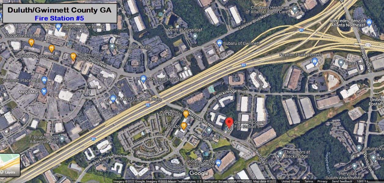
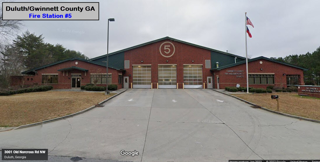
GPS Coordinates: 33.95714, -84.10798
3001 Old Norcross Road, Duluth GA 30096
Engine 5, Truck 5, Medic 5, Rescue 1, Battalion IV
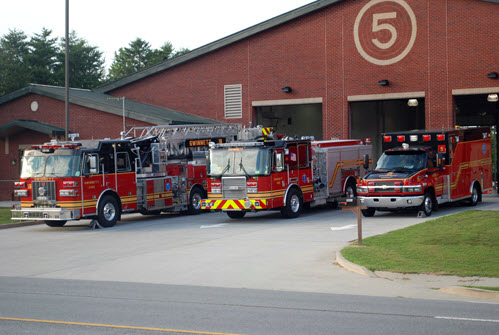 From the Gwinnett County Fire Website
GPS Coordinates: 34.00520, -84.12464
3343 Bunten Road, Duluth GA 30096
Engine 7, Truck 7, Medic 7
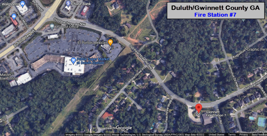

 From the Gwinnett County Fire Website
GPS Coordinates: 33.98249, -84.16958
3275 N. Berkeley Lake Rd NW, Duluth GA 30096
Engine 19, Medic 19
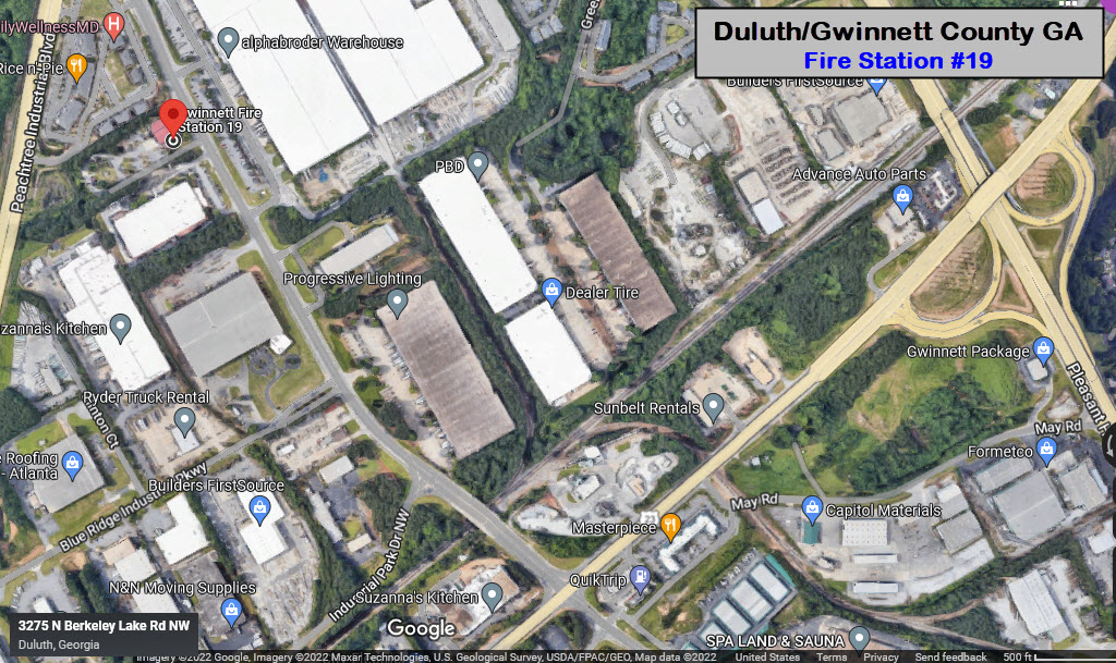
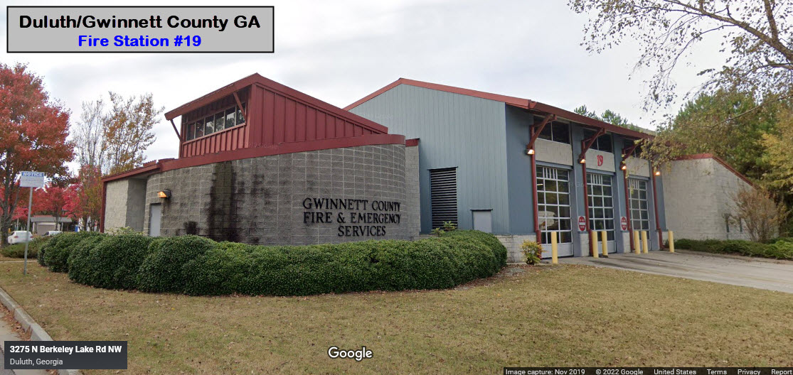
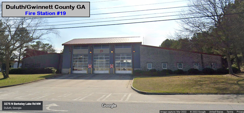
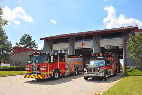 From the Gwinnett County Fire Website
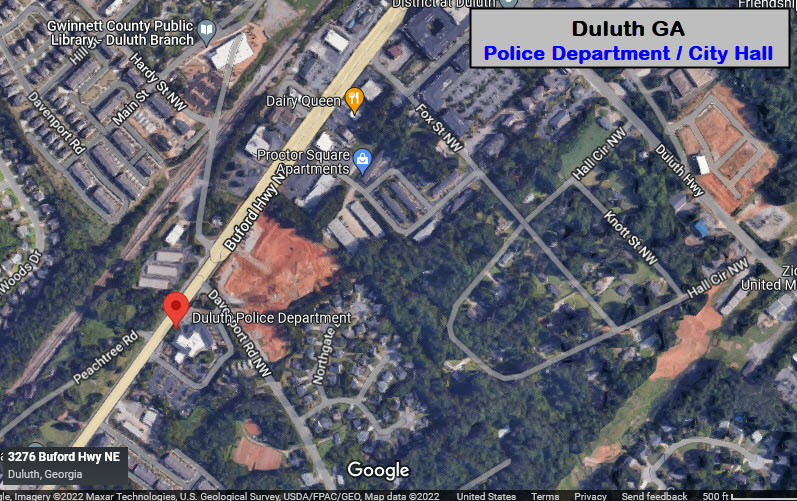
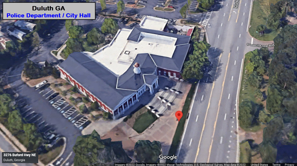
GPS Coordinates: 33.94277, -84.21181
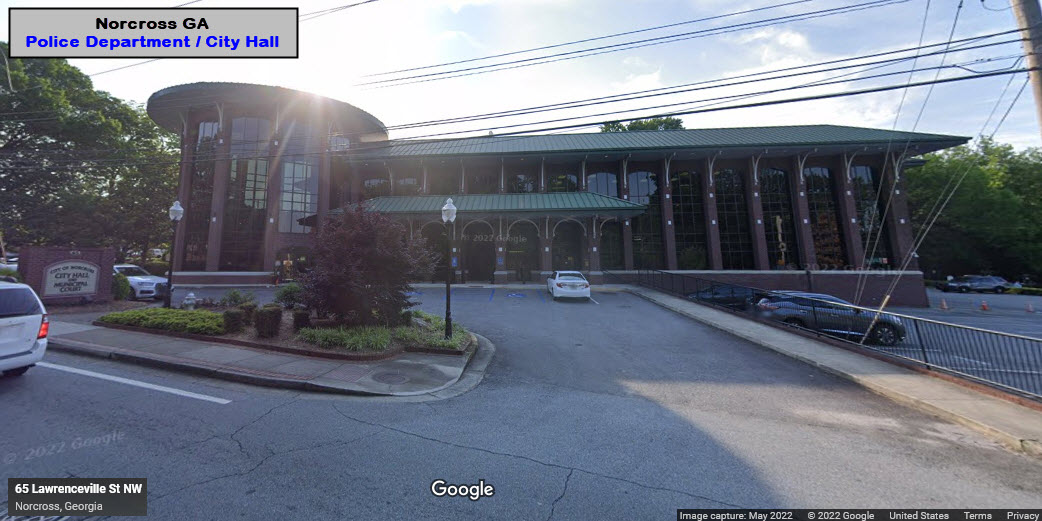
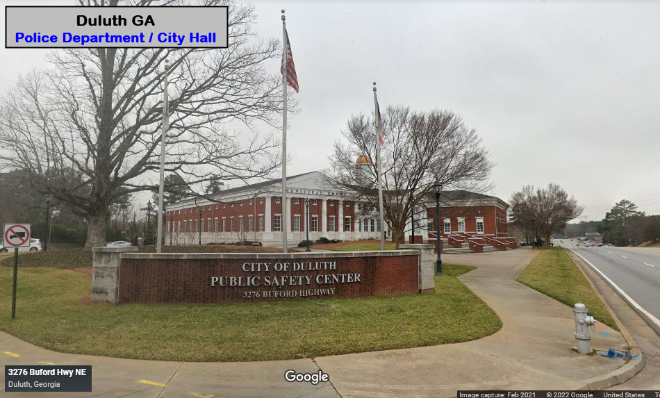
3276 Buford Hwy, Duluth GA 30096
770-476-4151
If you're having lunch at the Crossing Steakhouse, it is a short walk! It's not only the police station, but the Public Safety Center, which includes city hall.
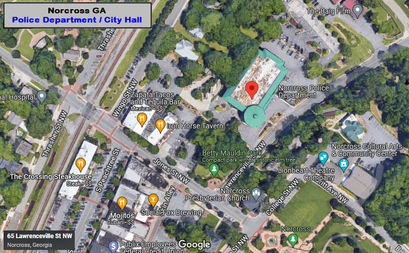
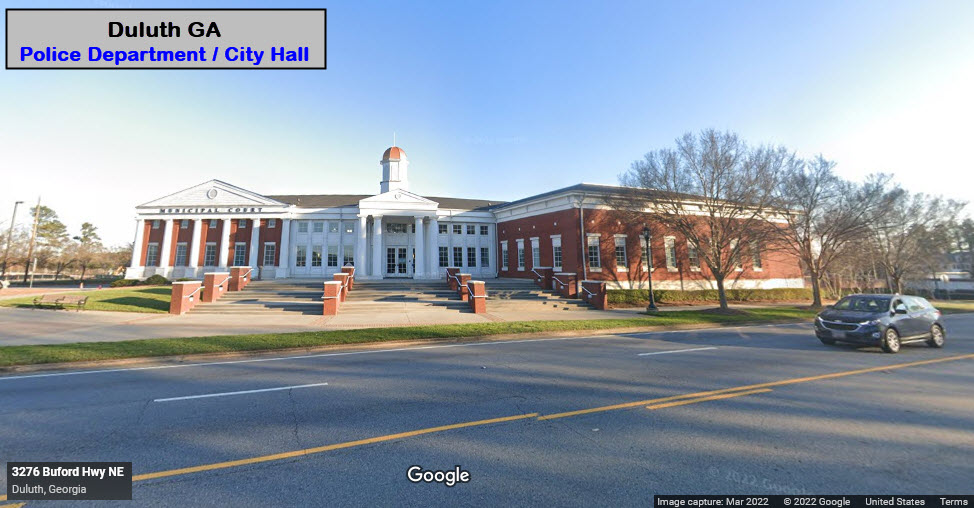
GPS Coordinates: 33.94277, -84.21181
3276 Buford Hwy, Duluth GA 30096
770-476-4151
Again, it's not only the police station, but the Public Safety Center, which includes city hall.
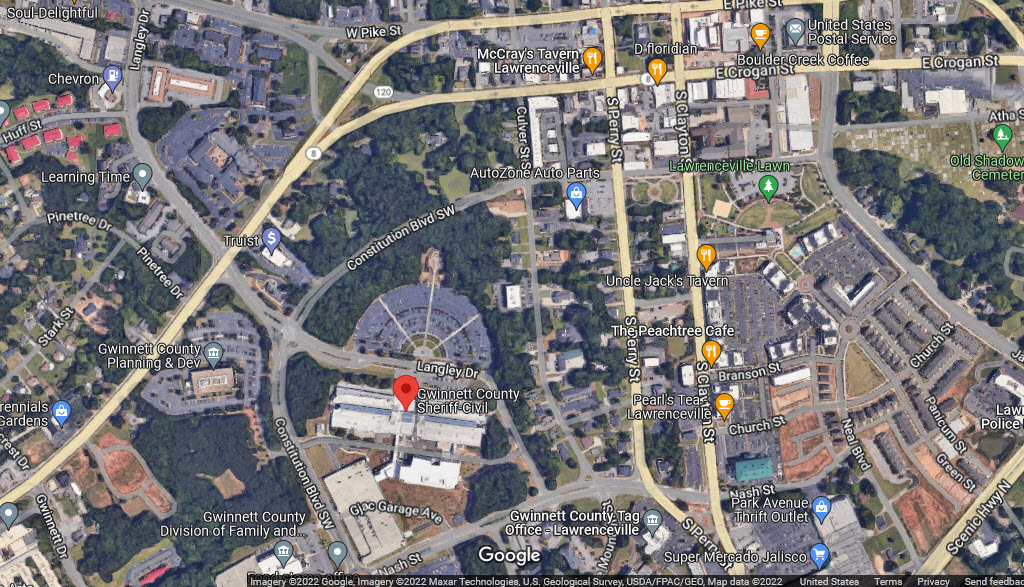
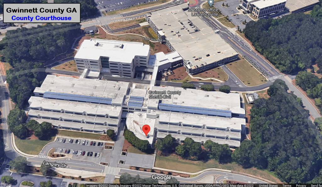
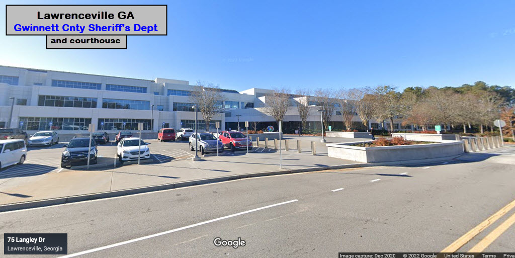
GPS Coordinates: 33.95148, -83.99296
75 Langley Dr, Lawrenceville GA 30046
770-822-8100
Headquartered at the Gwinnett County Courthouse. HUGE building, everything -Gwinnett County- must be in this building :-) :-)
Did U Know?
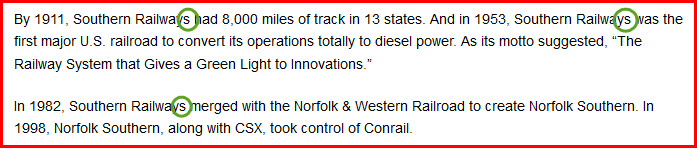
One of the websites I came across while looking for information on Norcross had the following notice 4 times on the page.... I'm guessing they don't want you to copy or plagiarize the info. Being the internet, and most websites that are non-profit and educational, such as mine, have a bit of leeway in copying information we find, but I always give credit, and include a link to the original source. I also encourage people to copy stuff from my website, and are free to use my maps wherever you like, as long as you retain the copyright info that is on the map.... you would be surprised where I find material of mine elsewhere, and I consider it a compliment that someone thinks enough of my effort to use on their pages. I also do not have blip-vert ads or promos to sell you stuff on my website, for I am not trying to make money off my 1200 pages - shoot, probably my map alone took more time then they did to make their whole page :-).
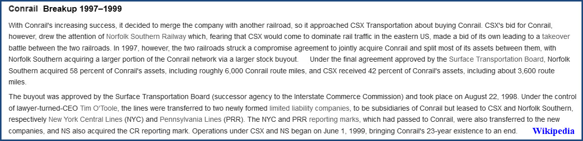
I would like to add two items on this page (that these notices are on), that they got wrong: 1) they called the old railroad: the Southern Railways, this is incorrect. Please take off the "S", and 2) the Conrail break-up was in 1999, not 1998.

Courtesy of the USGS, click here for their index page.
Disclaimers:
I love trains, and I love signals. I am not an expert. My webpages reflect what I find on the topic of the page. This is something I have fun with while trying to help others.
Please Note: Since the main focus of my two websites is railroad signals, the railfan guides are oriented towards the signal fan being able to locate them. For those of you into the modeling aspect of our hobby, my indexa page has a list of almost everything railroad oriented I can think of to provide you with at least a few pictures to help you detail your pike.
If this is a railfan page, every effort has been made to make sure that the information contained on this map and in this railfan guide is correct. Once in a while, an error may creep in :-)
My philosophy: Pictures and maps are worth a thousand words, especially for railfanning. Text descriptions only get you so far, especially if you get lost or disoriented. Take along good maps.... a GPS is OK to get somewhere, but maps are still better if you get lost! I belong to AAA, which allows you to get local maps for free when you visit the local branches. ADC puts out a nice series of county maps for the Washington DC area, but their state maps do not have the railroads on them. If you can find em, I like the National Geographic map book of the U.S..... good, clear, and concise graphics, and they do a really good job of showing you where tourist type attractions are, although they too lack the railroads. Other notes about specific areas will show up on that page if known.
Aerial shots were taken from either Google or Bing Maps as noted. Screen captures are made with Snagit, a Techsmith product... a great tool if you have never used it!
By the way, floobydust is a term I picked up 30-40 years ago from a National Semiconductor data book, and means miscellaneous and/or other stuff.
Pictures and additional information is always needed if anyone feels inclined to take 'em, send 'em, and share 'em, or if you have something to add or correct.... credit is always given! Please be NICE!!! Contact info is here
Beware: If used as a source, ANYTHING from Wikipedia must be treated as being possibly inaccurate, wrong, or not true.
RAILFAN GUIDES HOME
RAILROAD SIGNALS HOME
NEW 10/25/2021, JUN08/09/10/11/12/13/2022
Last Modified 13-Jun-2022