In General
Getting Here
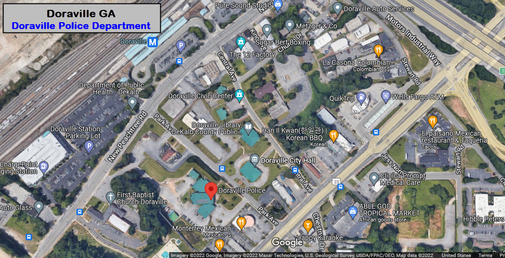
Map
Sights
Pictures
Bridges
Signals
Fire & Police
Postcards
Floobydust
USGS Maps
RAILROAD SIGNALS HOME
Location / Name:
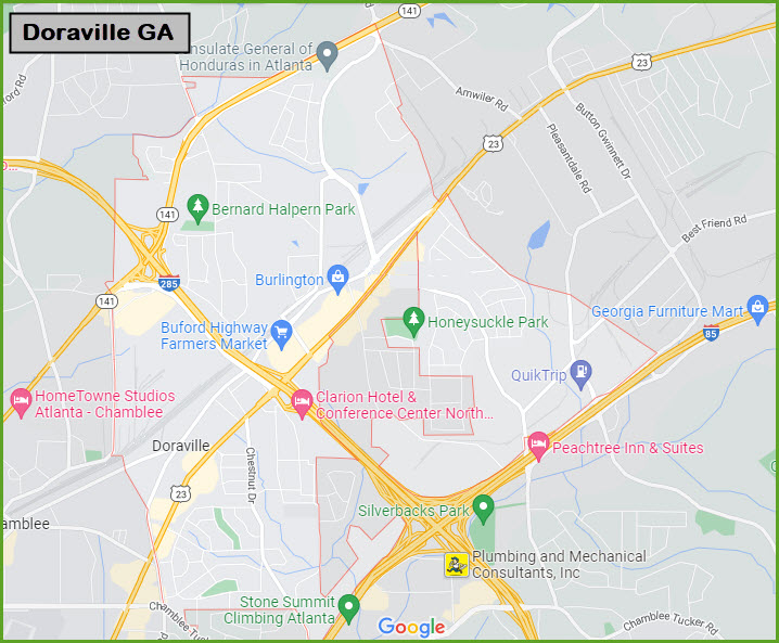
Doraville GA, DeKalb County
What's Here:
MARTA Doraville Station, the last on the line
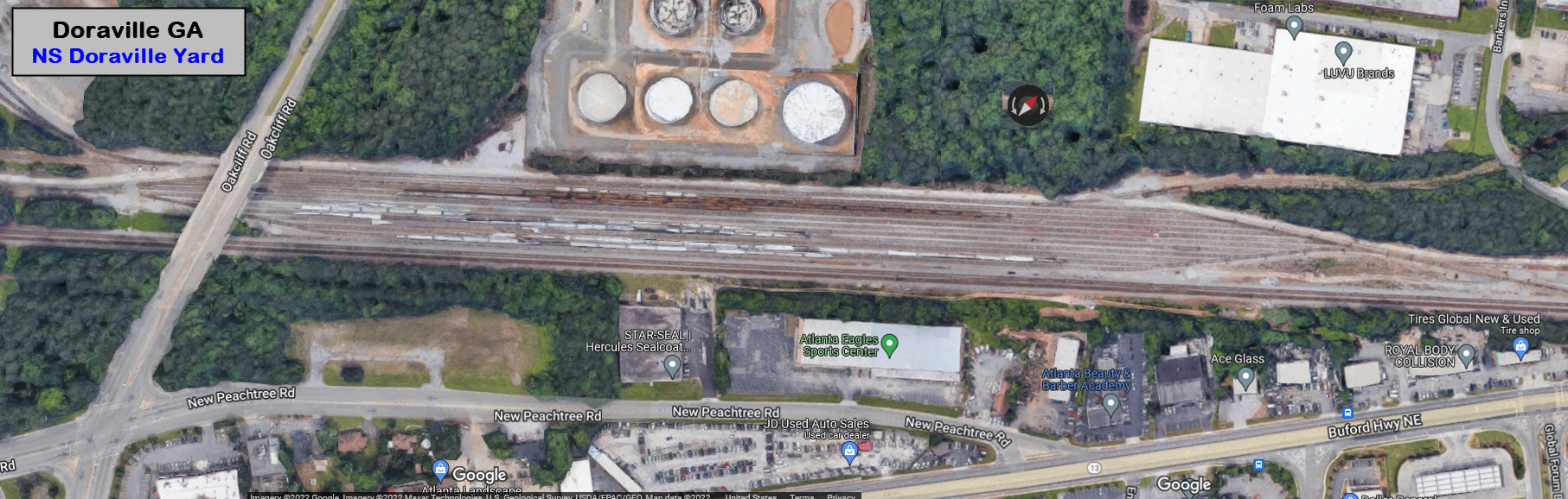
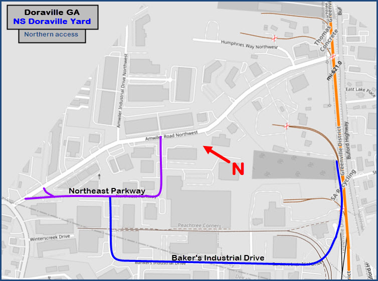
NS Doraville Yard
NS BOP Yard
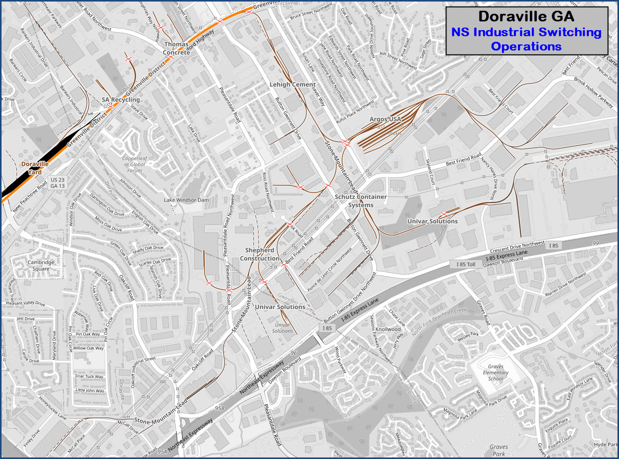
Lots of local industrial switching action
Data:
GPS Coordinates: as needed
Phone A/C: 770/404
ZIP: 30340
Access by train/transit:
MARTA Subway
The Scoop:
There is not THAT much in Doraville for the railfan, all things considered. But if you have the time, it should be a stop on your tour of Atlanta.
Of interest to the railfan: There are two Norfolk Southern rail yards, and the last station on MARTA's Gold line.
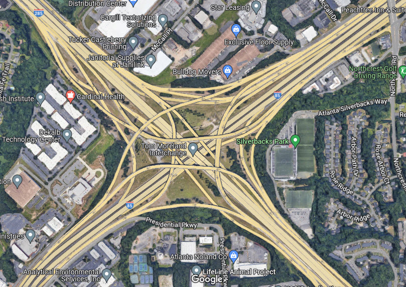
Doraville Yard is on the "outside" of the Perimeter, and BOP Yard is on the inside of the Perimeter, adjacent to the MARTA station. The Perimeter is Atlanta's version of a "Beltway", if you're familiar with the highway that goes all the way around Baltimore and DC, or similar to "Loops" used in Texas.
MARTA is the rapid transit system that covers Atlanta and the surrounding communities. MARTA stands for Metropolitan Atlanta Rapid Transit Authority (Act), and was formed in 1965.
Rail service begins at Doraville at 4:45am on weekdays and 5:55am on weekends and ends around 1am As of March 30, 2020, train frequency is currently every 20 minutes. Standard MARTA fare is $2.50 with four free transfers allowed within a three-hour period.
Parking at the Doraville station is free if less than 24 hours. But, MARTA charges $5.00 for long-term parking at Brookhaven, Dunwoody, Lenox and Sandy Springs stations, and, $8.00 for every 24-hour period at College Park, Doraville, Lindbergh and North Springs stations.
Who is Doraville named after? There are several legends that suggest how the community actually got its name, but the most widely accepted one is that it was named for Dora Jack, the daughter of a local Southern Railway official.
Acknowledgements:
Denver Todd
Websites and other additional information sources of interest for the area:
Below, as needed
https://en.wikipedia.org/wiki/Doraville_Assembly
From Atlanta, head north on I-85 and take I-285 NW at exit 96, getting off at the very first ext for US-23.
Be careful on the exit 96 - it's a doozy.... pay attention where you are going to make sure you're on the right exit/entrance ramp, and some exits are on "entrance" ramps, so again, pay attention.
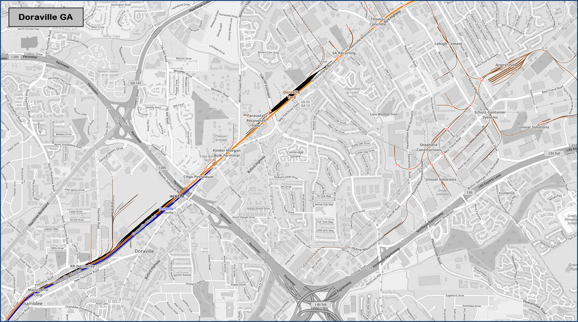
Doraville Yard has 11 tracks plus the two through tracks on the east side of the yard. It is on the north side of the Perimeter. I'm making a guess, but I am going to assume the majority of local switching is performed out of this yard.
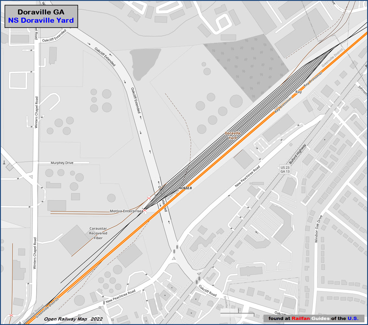
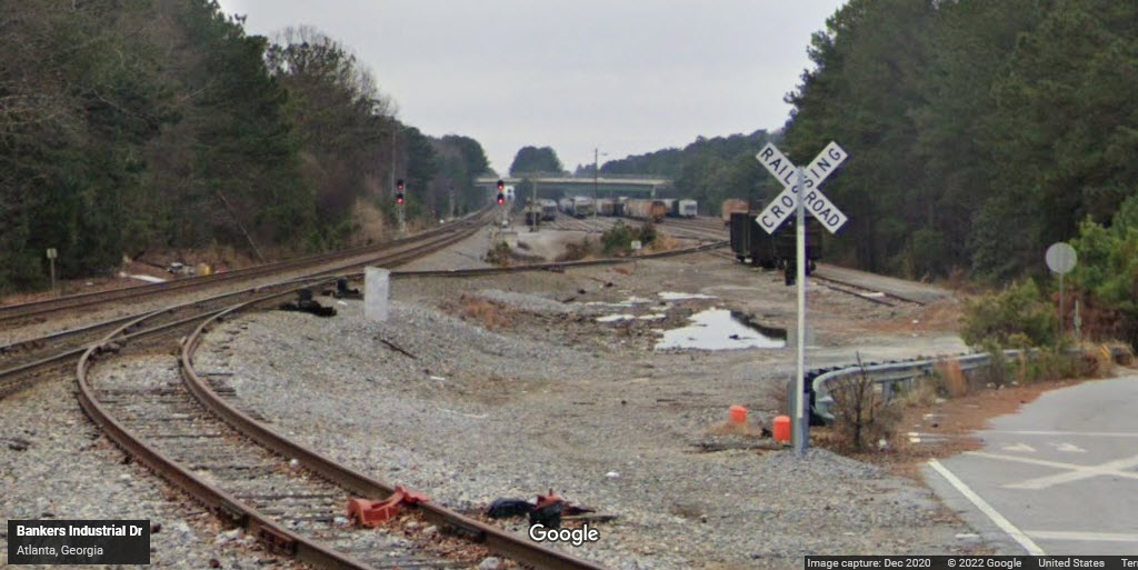
One of the few vantage points where you can get pictures of Doraville Yard from public property. It's at the north end of the yard.
GPS Coordinates: 33.90298, -84.28008
https://www.itsmarta.com/Doraville.aspx
https://en.wikipedia.org/wiki/Doraville_station
https://foursquare.com/v/marta--doraville-station/4a8f138df964a520d71320e3
Doraville is the last station on the Gold line, also known as the Northeast line. Beyond the station, and going over the Perimeter, the three tracks continue for about 1,800 feet, making room for off peak parking for about 30 cars (according to Wikipedia).
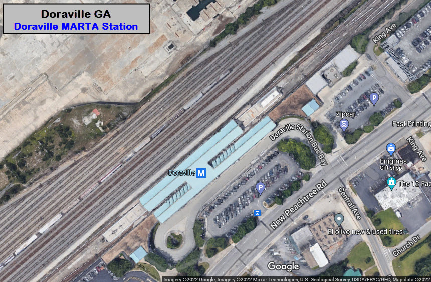
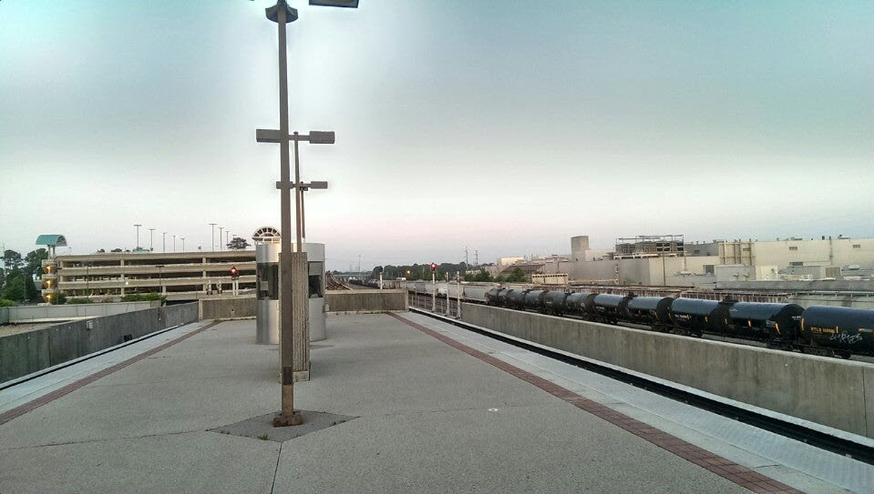 photo by Jackie H, 2013
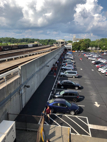 photo by Matt W, 2019
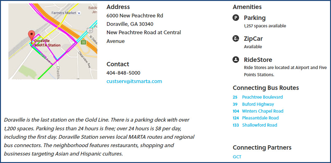
GPS Coordinates: 33.544, -84.1659
http://wikimapia.org/13871629/Norfolk-Southern-BOP-Yard
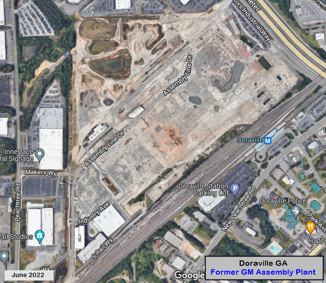
This is the yard adjacent to the MARTA Station. This NS railyard was primarily used to handle traffic for the General Motors plant in Doraville. The plant closed in 2008, but the yard is still used to handle local industrial traffic. BOP stands for Buick, Oldsmobile, and Pontiac.
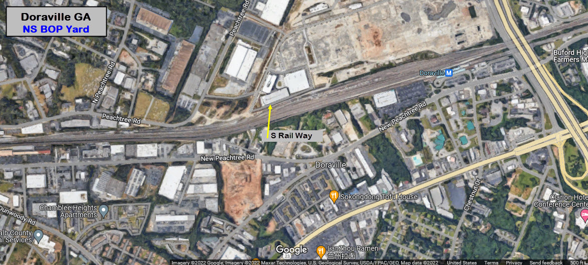
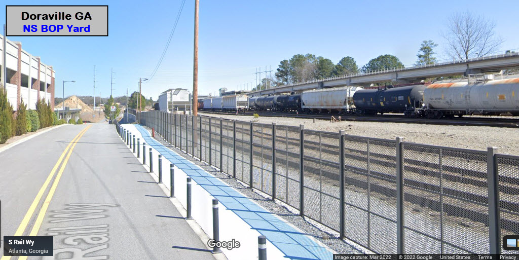
Lots of opportunity to catch NS doing local switching action coming out of Doraville Yard.
GPS Coordinates: 33.90490, -84.27758
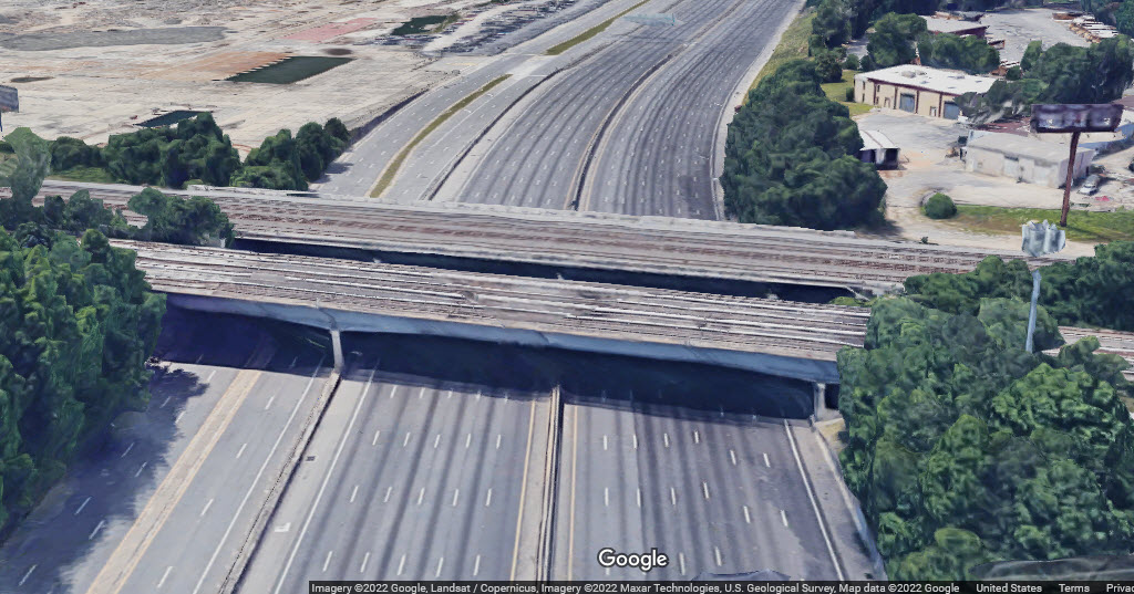
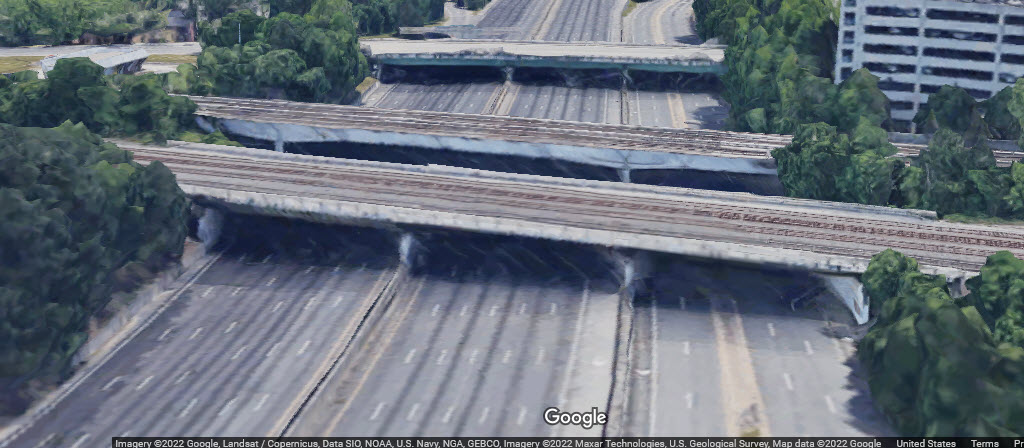
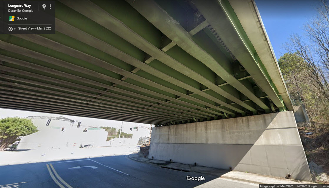
They are two separate bridges. The MARTA bridge is to the south, the NS bridge is to the north.
There are 3 tracks on the MARTA bridge, each track is a stub track, about 1800 feet long, used for off peak storage.
There are three spans, one crosses 7 lanes of the Perimeter, the middle span 6 lanes, and another 5 lanes over Motors Industrial Way.
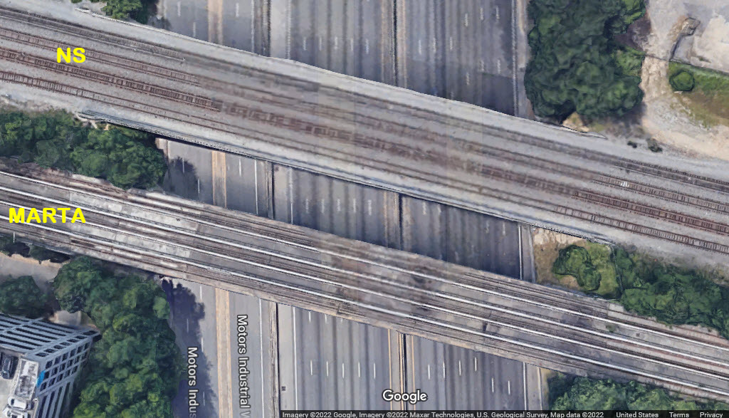
GPS Coordinates: 33.90506, -84.27791
GPS Coordinates: 33.90814, -84.27355
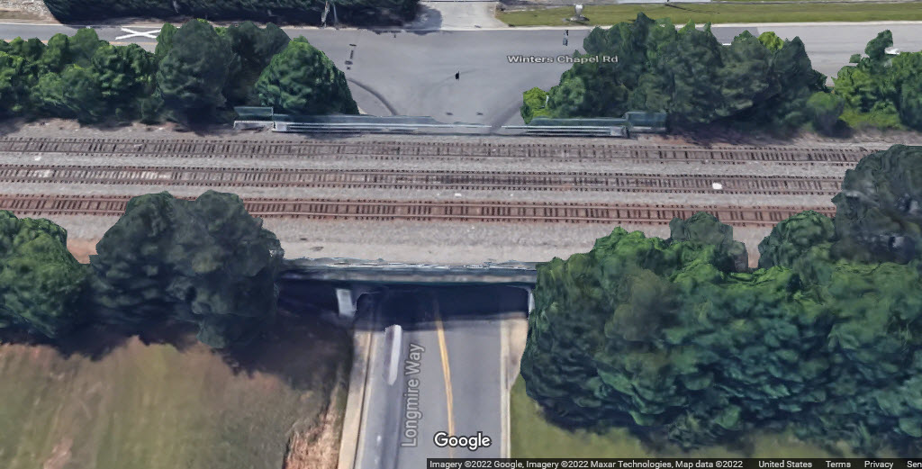
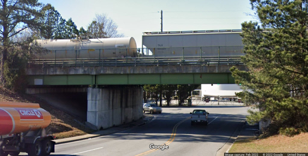
None that are really easy to access, except for the ones you can see from the north end of Doraville Yard.
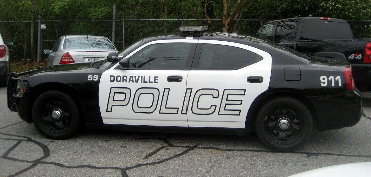
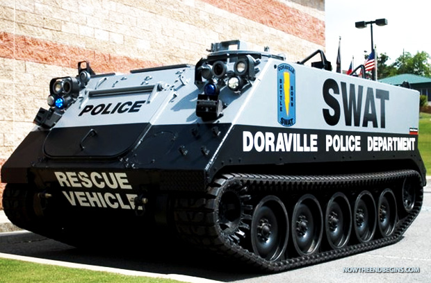
![]() Doraville Police Department
Doraville Police Department
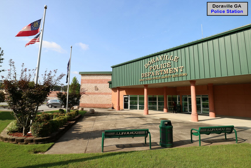

GPS Coordinates: 33.88499, -84.30095
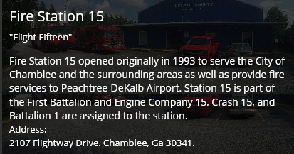
2107 Flightway Dr, Chamblee GA 30341
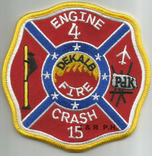
Engine 15, Crash 15, Battalion 1
https://www.dekalbcountyga.gov/fire-rescue/fire-rescue
https://dekalbhistory.org/blog-posts/fighting-fires-in-dekalb/
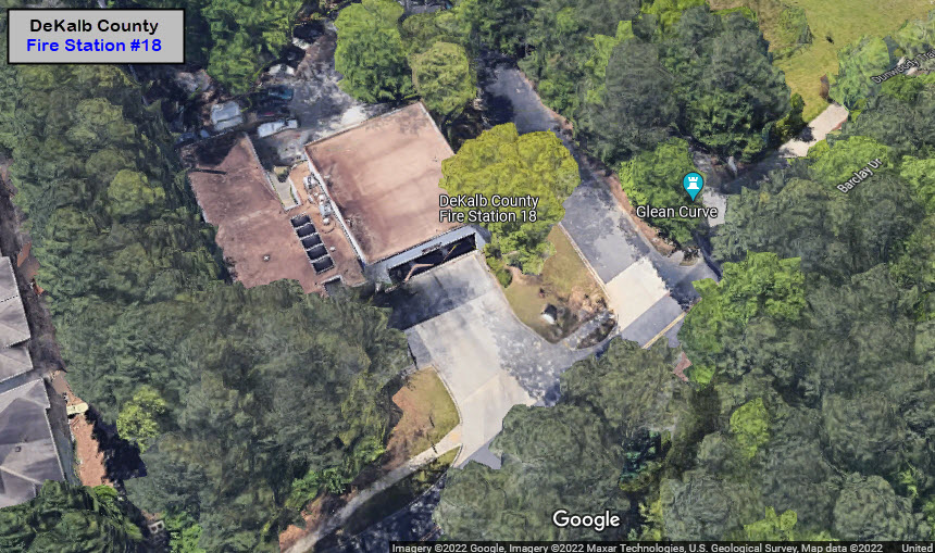
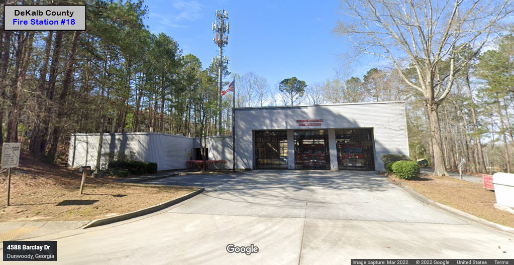
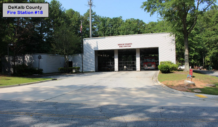
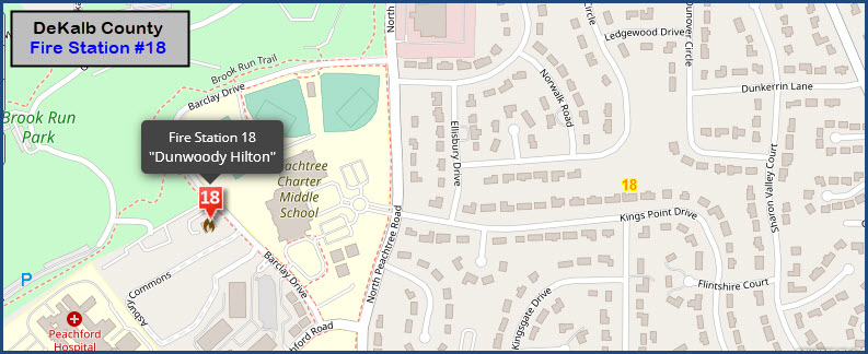
DeKalb County has 26 fire stations. This is one of two that are the closest to Doraville.
It has the special apparatus Crash 15, because it is located close to the Peachtree-DeKalb airport.
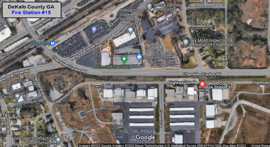
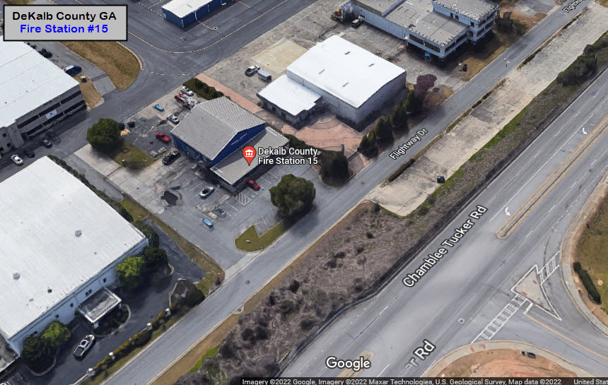
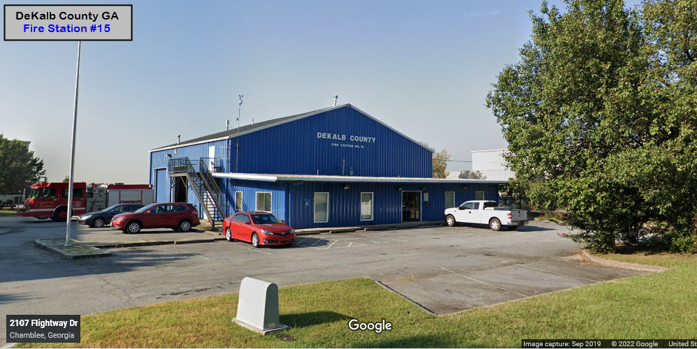
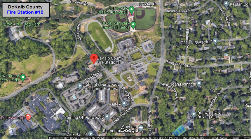
GPS Coordinates: 33.93070, -84.29837
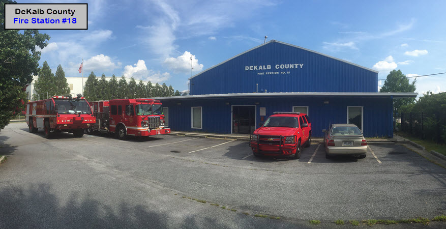
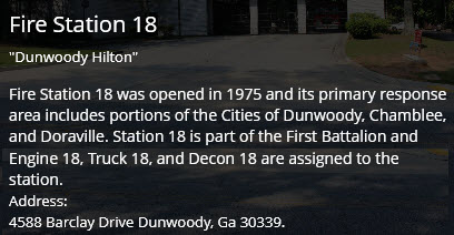
4588 Barclay Dr, Dunwoody GA 30339
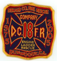
Truck 18, Engine 18, Decon 18, First Battalion
Former GM Assembly Plant
Shut down in 2008, like many other General Motors locations (like the huge Chevy plant in Baltimore that is now the site for an Amazon distribution warehouse), the site is being re-developed. The Norfolk Southern BOP Yard was named for "Buicks-Oldsmobiles-Pontiacs".
Courtesy of the USGS, click here for their index page.
Disclaimers:
I love trains, and I love signals. I am not an expert. My webpages reflect what I find on the topic of the page. This is something I have fun with while trying to help others.
Please Note: Since the main focus of my two websites is railroad signals, the railfan guides are oriented towards the signal fan being able to locate them. For those of you into the modeling aspect of our hobby, my indexa page has a list of almost everything railroad oriented I can think of to provide you with at least a few pictures to help you detail your pike.
If this is a railfan page, every effort has been made to make sure that the information contained on this map and in this railfan guide is correct. Once in a while, an error may creep in :-)
My philosophy: Pictures and maps are worth a thousand words, especially for railfanning. Text descriptions only get you so far, especially if you get lost or disoriented. Take along good maps.... a GPS is OK to get somewhere, but maps are still better if you get lost! I belong to AAA, which allows you to get local maps for free when you visit the local branches. ADC puts out a nice series of county maps for the Washington DC area, but their state maps do not have the railroads on them. If you can find em, I like the National Geographic map book of the U.S..... good, clear, and concise graphics, and they do a really good job of showing you where tourist type attractions are, although they too lack the railroads. Other notes about specific areas will show up on that page if known.
Aerial shots were taken from either Google or Bing Maps as noted. Screen captures are made with Snagit, a Techsmith product... a great tool if you have never used it!
By the way, floobydust is a term I picked up 30-40 years ago from a National Semiconductor data book, and means miscellaneous and/or other stuff.
Pictures and additional information is always needed if anyone feels inclined to take 'em, send 'em, and share 'em, or if you have something to add or correct.... credit is always given! Please be NICE!!! Contact info is here
Beware: If used as a source, ANYTHING from Wikipedia must be treated as being possibly inaccurate, wrong, or not true.
RAILFAN GUIDES HOME
RAILROAD SIGNALS HOME
NEW 6/13/2022, JUN14/15/16/17/2022
Last Modified 17-Jun-2022