In General
Getting Here
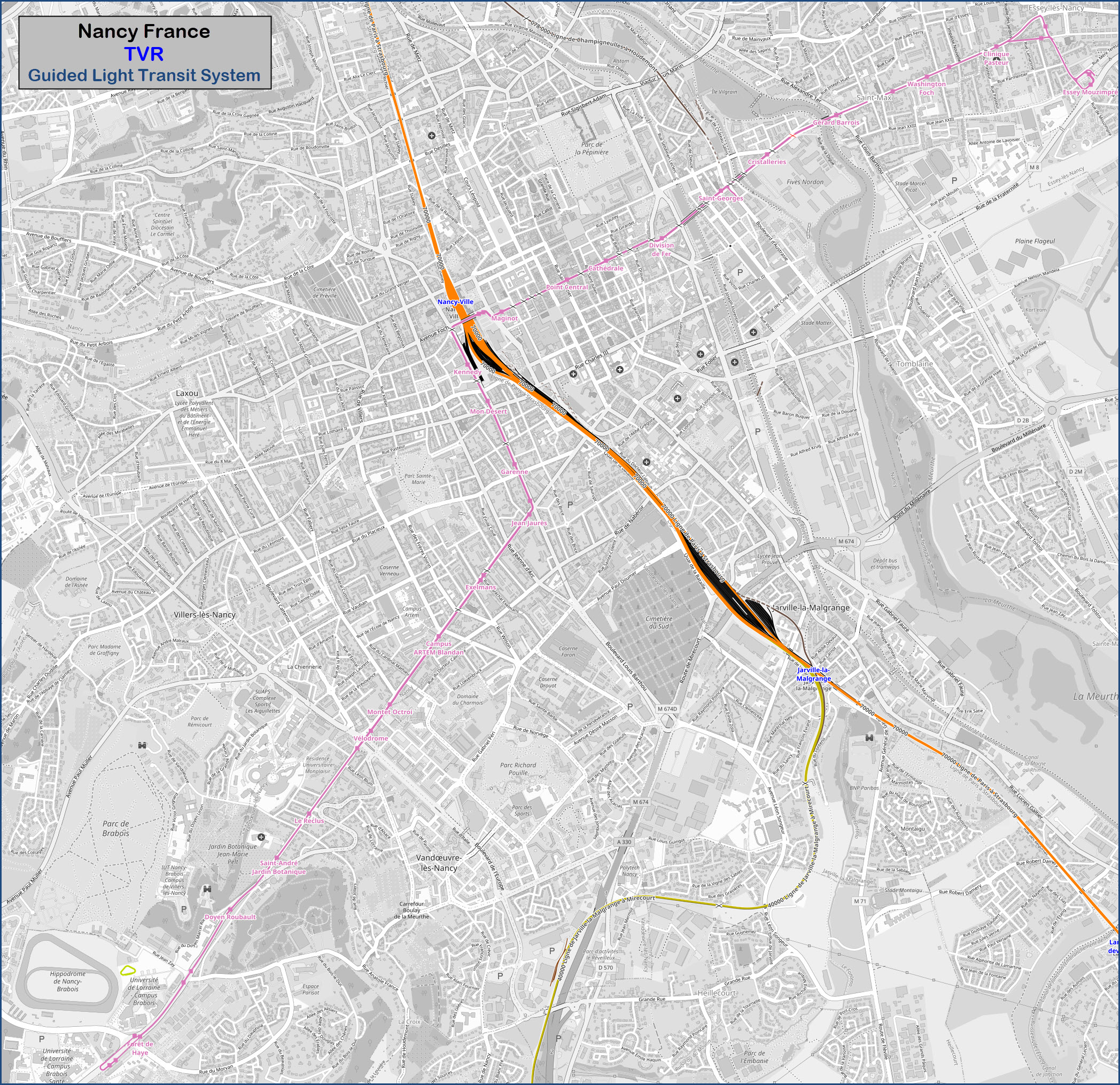
Map
Sights
Pictures
Around the System
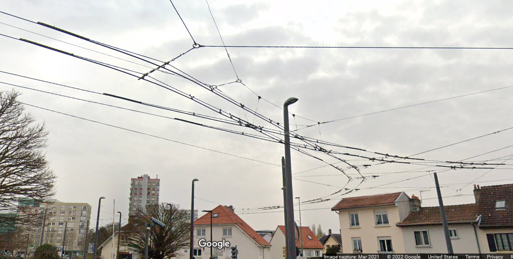
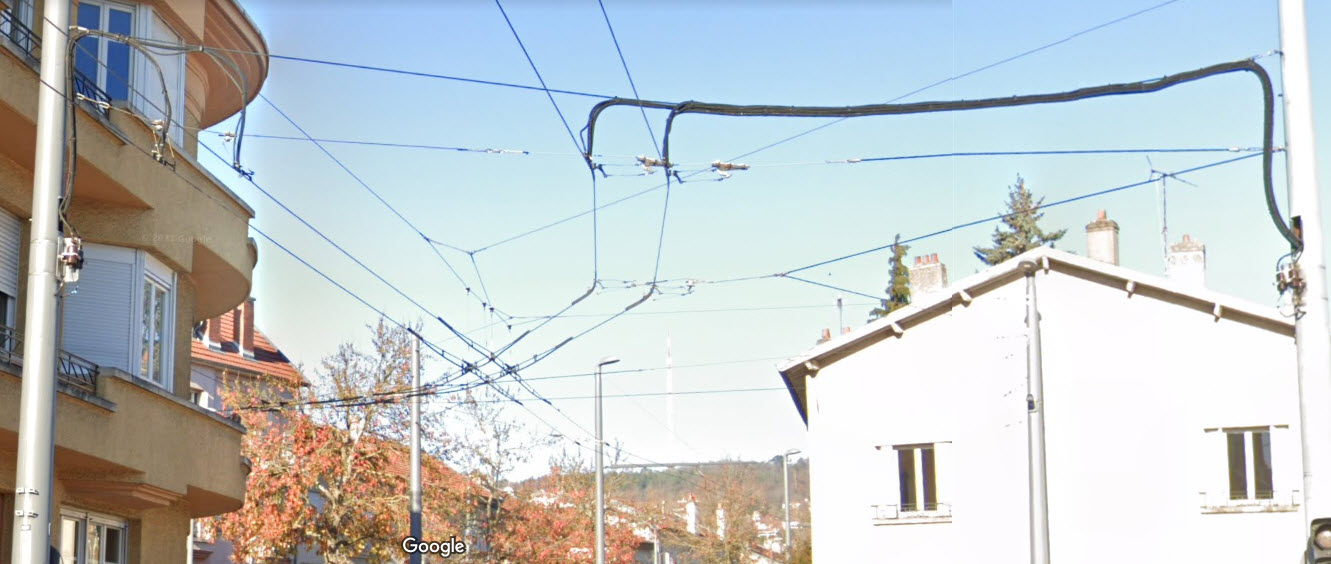
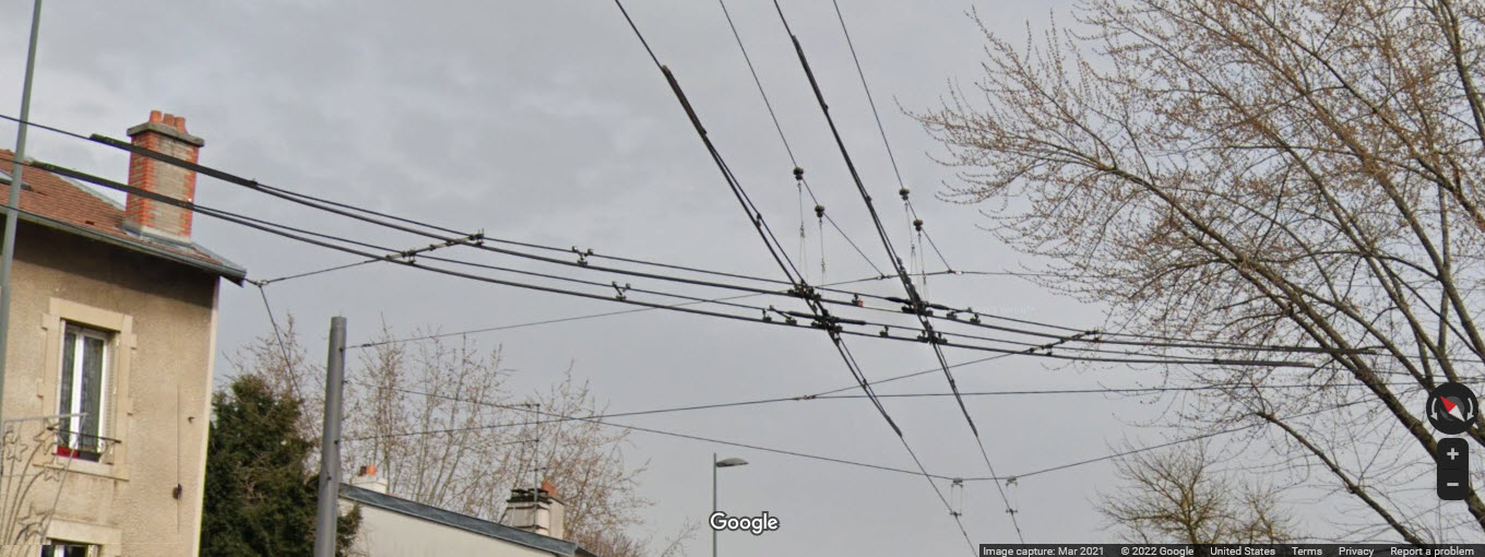
Infrastructure
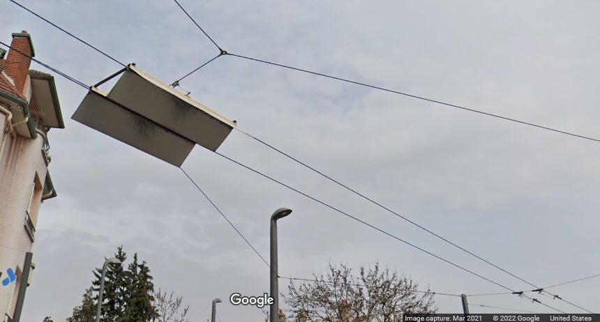
Bridges
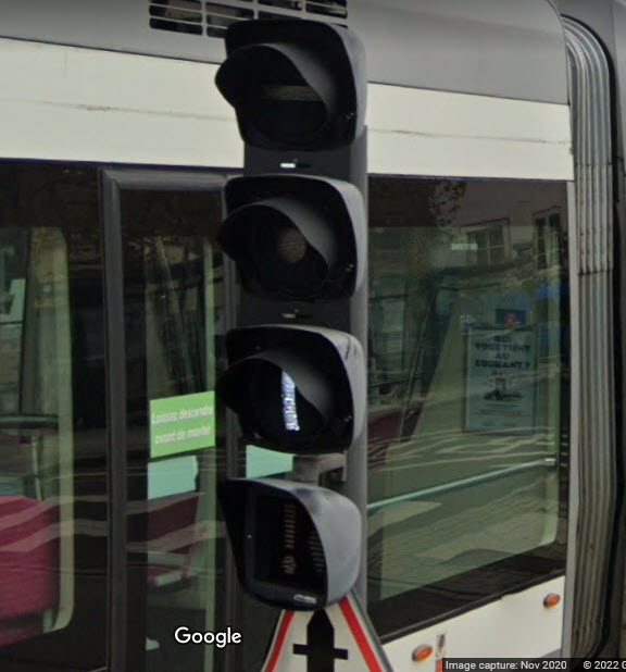
Signals
RAILROAD SIGNALS HOME
Location / Name:
Nancy FR, Lorraine, Grand Est
What's Here:
the Nancy Guided Light Transit System, or TVR
Data:
GPS Coordinates: as needed
Phone A/C:
ZIP:
Access by train/transit:
None
The Scoop:
From Wikipedia: The system was implemented as a replacement for the trolleybus network. Operation of the system began in 2000. The system had problems with derailing vehicles, as well as heavy wear and tear of the pavement. In 2018, 12 vehicles from Caen were transferred to Nancy for use as spare parts donors.
The TVR system is planned to be replaced by a conventional low-floor tram system. Operation of the TVR is scheduled to end in 2021.
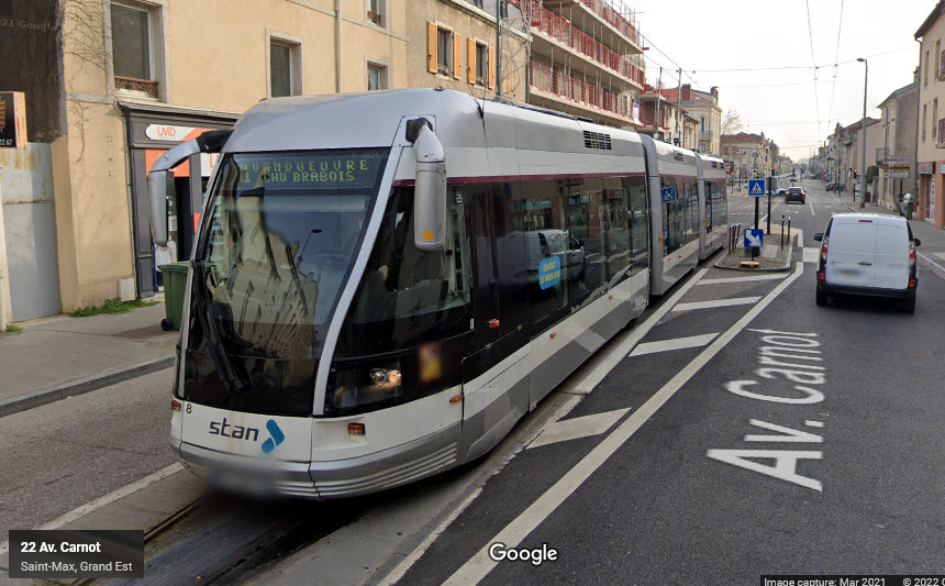
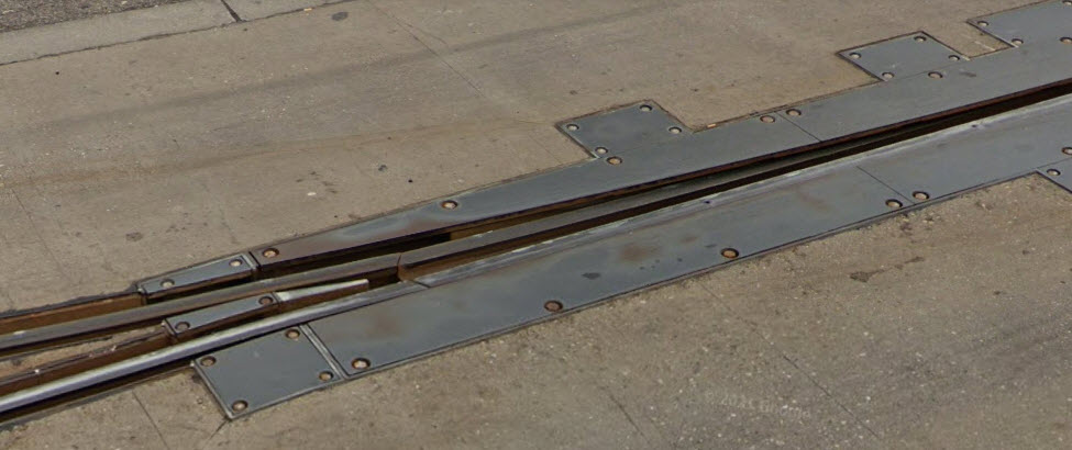
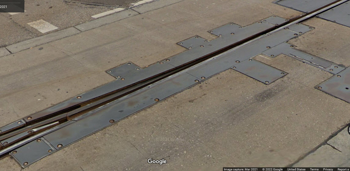
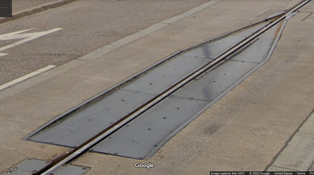
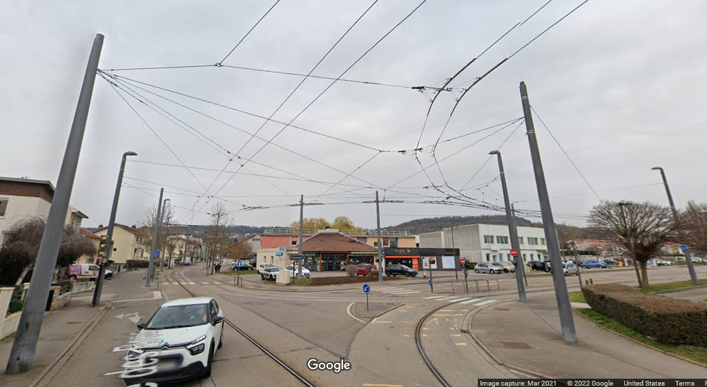
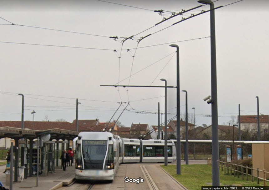
The system uses rubber-tired, three-section articulated vehicles. The vehicles use a pair of trolley poles to collect power from parallel overhead lines, and can also run independently without the central guide rail.
The Nancy Guided Light Transit or TVR is a guided bus system. The system uses Bombardier's TVR (French: Transport sur Voie Réservée) technology. The TVR replaced a trolleybus system in Nancy. End Wiki
The system has one line with 28 stations, and is 6.9 miles long (11.1km).
The operator of the system is: Service de Transport de l'Agglomération Nancéienne (STAN).
From Google Maps: Nancy, a riverfront city in the northeastern French region of Grand Est, is known for its late baroque and art nouveau landmarks, some dating to its days as the former capital of the Duchy of Lorraine. Its focal point is the 18th-century Place Stanislas. This grand square, decorated with gilded wrought-iron gates and rococo fountains, rests by the ornate palaces and churches filling the city’s medieval old town. end G
Acknowledgements:
Kevin B
Florian Fèvre
Jean-Henri Manara
Muselaar via Wikipedia FR
Wikipedia
Google Maps
Open Railway Map
Websites and other additional information sources of interest for the area:
https://en.wikipedia.org/wiki/Nancy_Guided_Light_Transit
https://www.grandnancy.eu/la-metropole/decouvrir-la-metropole (en Francais)
Getting to G
The
The
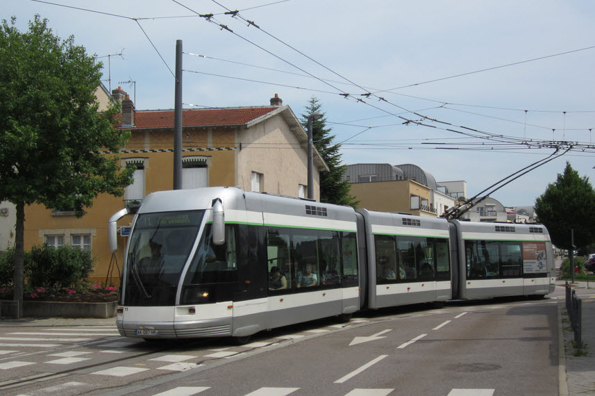 Photo by Florian Fèvre, June 2013
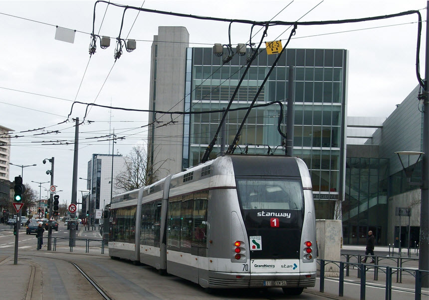 Photo by Kevin B, February 2015
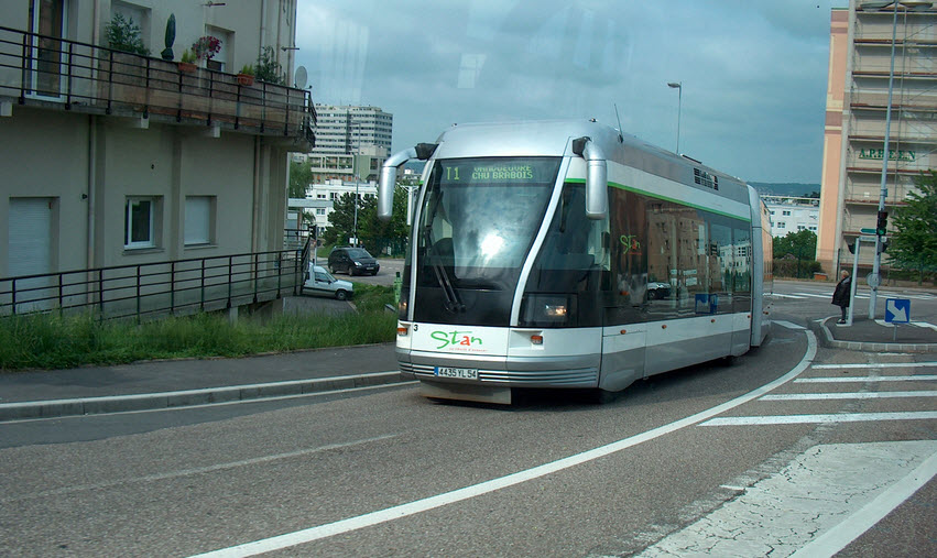 Photo by Muselaar, May 2006
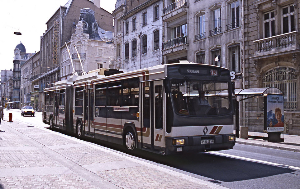 Photo by Jean-Henri Manara, 1986
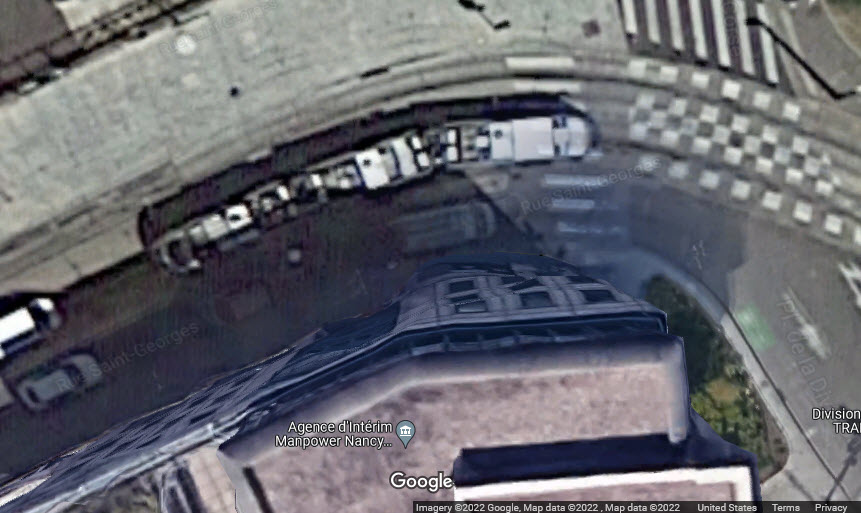
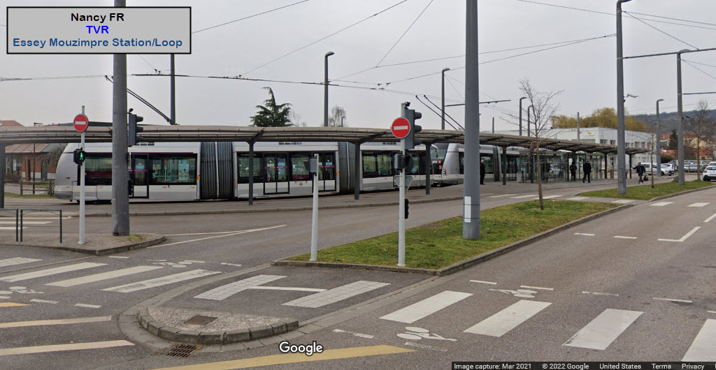
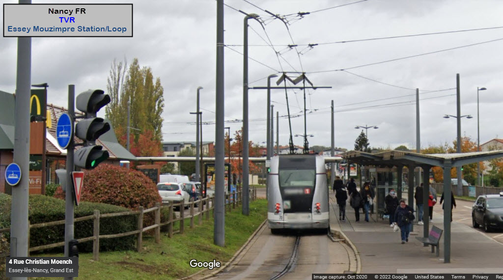
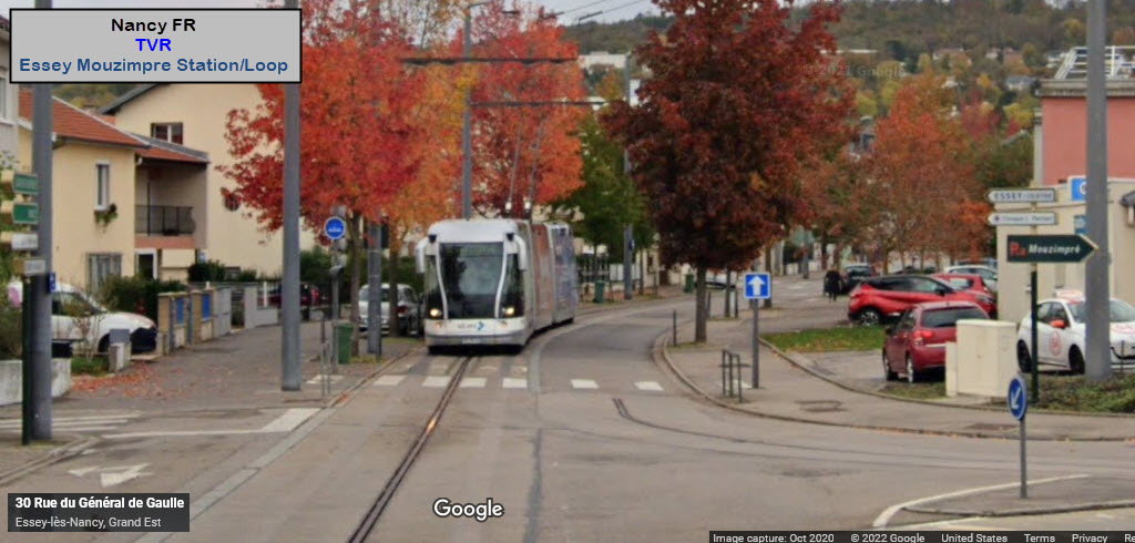
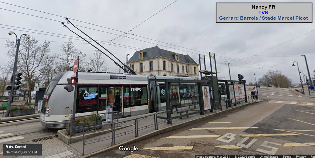
The Station and Loop at Essey Mouzimpre
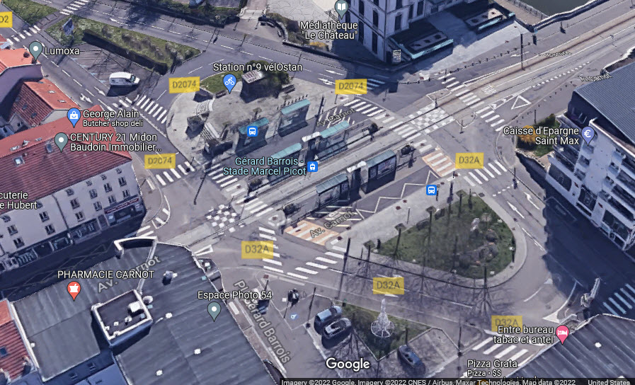
Gerard Barrois / Stade Marcel Picot
Most of the stuff presented here will be unlabeled, since I would be taking a guess as to their function....
The
The
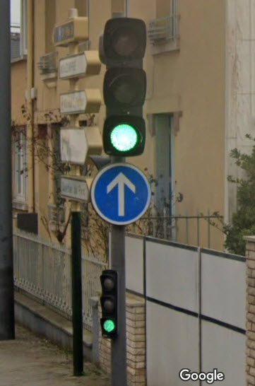
Judging from the few signals I can spot, it looks like they use standard vehicular style traffic lights, with bar signal lenses installed.
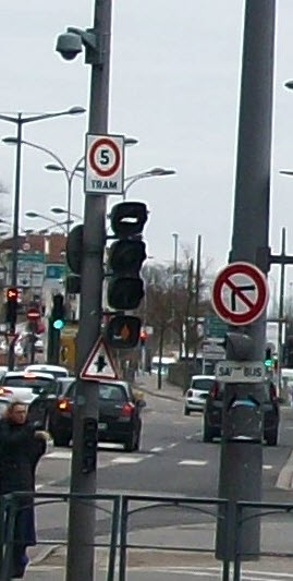
A standard traffic light for cars, the second "small" signal is for cars that are far enough up to not be able to see the main traffic signal head
The
Disclaimers:
I love trains, and I love signals. I am not an expert. My webpages reflect what I find on the topic of the page. This is something I have fun with while trying to help others.
Please Note: Since the main focus of my two websites is railroad signals, the railfan guides are oriented towards the signal fan being able to locate them. For those of you into the modeling aspect of our hobby, my indexa page has a list of almost everything railroad oriented I can think of to provide you with at least a few pictures to help you detail your pike.
If this is a railfan page, every effort has been made to make sure that the information contained on this map and in this railfan guide is correct. Once in a while, an error may creep in :-)
My philosophy: Pictures and maps are worth a thousand words, especially for railfanning. Text descriptions only get you so far, especially if you get lost or disoriented. Take along good maps.... a GPS is OK to get somewhere, but maps are still better if you get lost! I belong to AAA, which allows you to get local maps for free when you visit the local branches. ADC puts out a nice series of county maps for the Washington DC area, but their state maps do not have the railroads on them. If you can find em, I like the National Geographic map book of the U.S..... good, clear, and concise graphics, and they do a really good job of showing you where tourist type attractions are, although they too lack the railroads. Other notes about specific areas will show up on that page if known.
Aerial shots were taken from either Google or Bing Maps as noted. Screen captures are made with Snagit, a Techsmith product... a great tool if you have never used it!
By the way, floobydust is a term I picked up 30-40 years ago from a National Semiconductor data book, and means miscellaneous and/or other stuff.
Pictures and additional information is always needed if anyone feels inclined to take 'em, send 'em, and share 'em, or if you have something to add or correct.... credit is always given! Please be NICE!!! Contact info is here
Beware: If used as a source, ANYTHING from Wikipedia must be treated as being possibly inaccurate, wrong, or not true.
RAILFAN GUIDES HOME
RAILROAD SIGNALS HOME
NEW 05/26/2022
Last Modified 26-May-2022