
In General
Getting Here
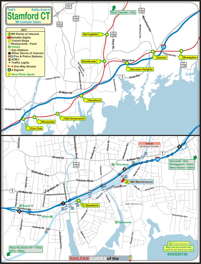
Map
Sights and Pictures
Pictures n Signals
Metro-North Info
Amtrak Info
Floobydust
RAILROAD SIGNALS HOME
Location / Name:
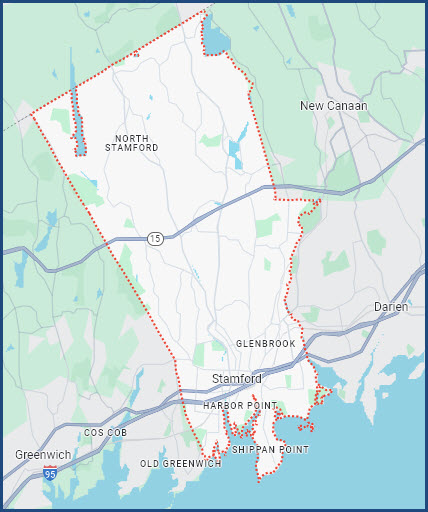
Stamford CT, Fairfield County
What's Here:
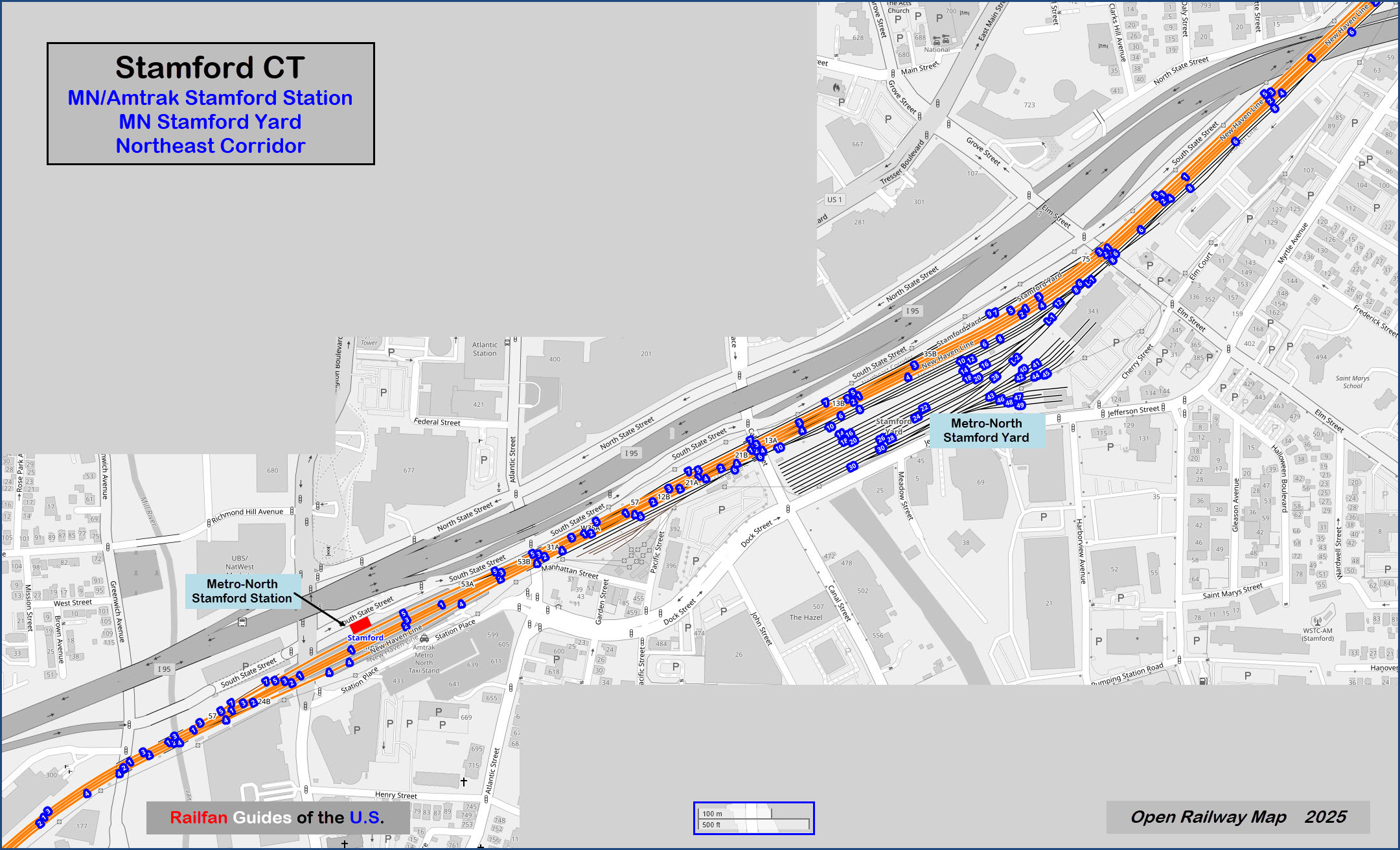
Metro-North Station
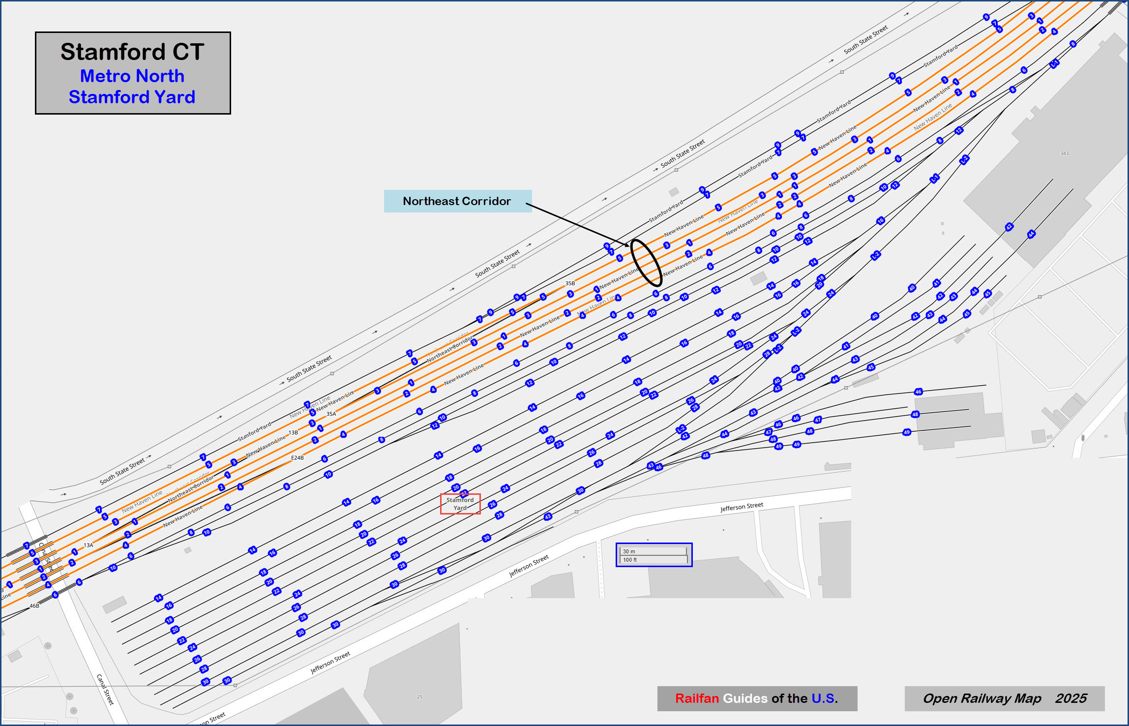
Stamford Yard
Data:
GPS Coordinates: as needed
Phone A/C: 203
ZIP: 06901
34 miles (55 kilometers) from New York City
Sixth-most populous city in New England
CT's second-most populous city behind Bridgeport, however, Stamford is the state's largest city by area
As of 2023, Stamford is home to eight Fortune 500 companies
Stamford is the second-busiest station on the Metro-North system, after Grand Central Terminal
City bus transportation is provided by CT Transit
Access by train/transit:
Metro-North and Amtrak.
Geography:
Flat
The Scoop:
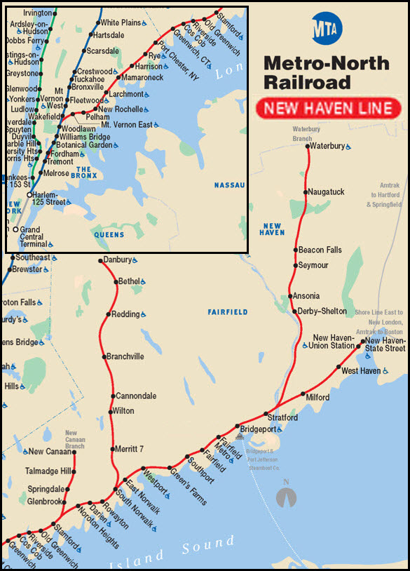
Stamford is located on Metro-North's New Haven Line - the line continues on to New Haven.
Metro-North operates their commuter trains into Stamford out of Grand Central Terminal in Manhattan, NYC.
Service runs seven days a week.
BTW, GCT, celebrated it's 100th birthday in 2013.
The New Haven Line is also Amtrak's Northeast Corridor.
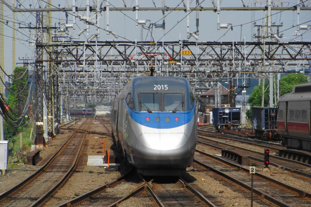
A number of Amtrak Acela's and Northeast Regional trains stop in Stamford.
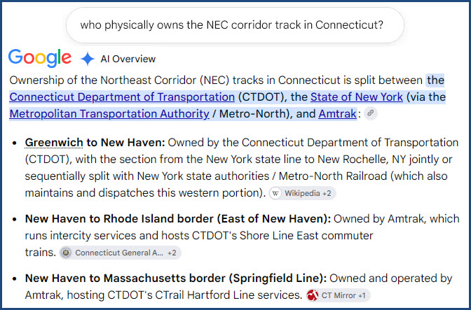
Unlike the rest of the Northeast Corridor between Washington DC and Boston, the trackage in Connecticut is split between Amtrak and the state of Connecticut:
Stamford represents your typical New Haven turned MN station. Gone however are the low-level platforms and triangular shaped catenary wire :-(
There is a nice story about Stamford in the February 2013 issue of Railfan & Railroad.
In addition, three branches split off and go to New Canaan, Danbury, and Waterbury. They all have great places to photograph at, but there are a couple of especially picturesque places along the water coming into Waterbury, especially in the fall.
The Stamford station is about three miles north of the infamous Cos-Cob power station, which before the upgrade, powered everything from GCT to New Haven.
Unless noted otherwise, many thanks to fellow co-worker Pat Spera for the pictures in Stamford, especially all of his detail shots!
I guess I feel lucky in one sense..... Many of ya'll who live outside of the NEC area between Washington DC and Boston don't know what it is like to be in a place like Stamford, where the overhead maze of wires and supports is unbelievable in some places - and add a flavor you can't get anywhere else in the United States. The only downside is for picture takers, and the poles and support towers get in the way of clean photos. You can also get a sense of this from my pictures at Penn Station and the route between there and New Rochelle NY, where I was born. That page is here. Enjoy.
Acknowledgements:
Pat Spera
Hal Smith/Gerry Meyle Sr
R33/R36 Mainline
Google Maps
Bing Maps
Open Railway Map
Wikipedia
Websites and other additional information sources of interest for the area:
https://en.wikipedia.org/wiki/Stamford,_Connecticut
https://en.wikipedia.org/wiki/Northeast_Corridor
https://en.wikipedia.org/wiki/CT_Transit_Stamford
http://www.subchat.com/readflat.asp?Id=1616478&p=1#1616502 Photo tour of some of the NEC in Connecticut by Jersey Mike
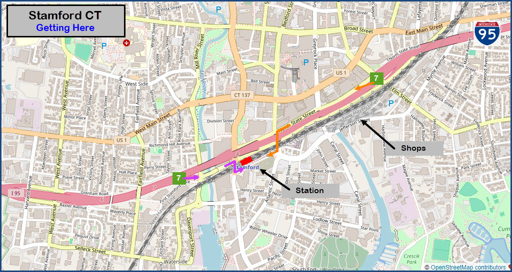
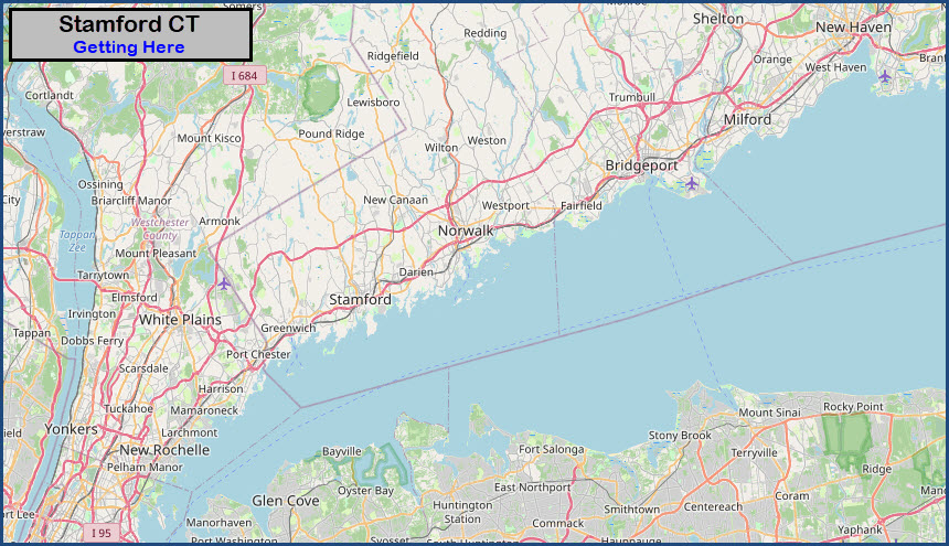
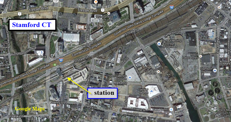
Access is easy-peasy off of I-95, which runs right along the NEC Corridor.
If NB from NYC, take exit 7, go straight at the bottom of the ramp (Greenwich Ave), go to the next street, Washington Blvd and hang a right. Go under the tracks and take a left onto Station Place, this takes you to the station using the purple arrows.
If SB on I-95, exit 7 onto N. State St. Take a left at Atlantic St, go under the tracks, then a right onto Station Place (the orange arrows).
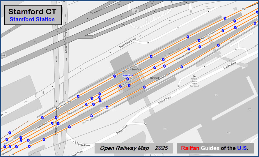
 At the Stamford Station
GPS Coordinates: 41.04681, -73.54204
Washington Blvd and South State Street, Stamford CT 06902
Amtrak Station Code: STM
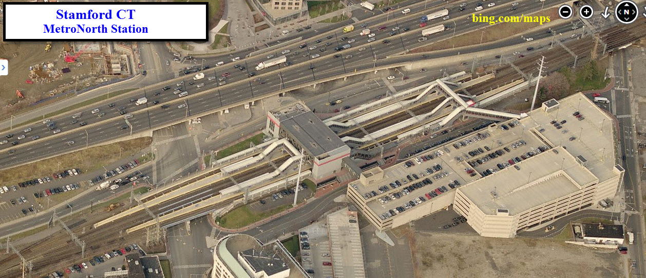
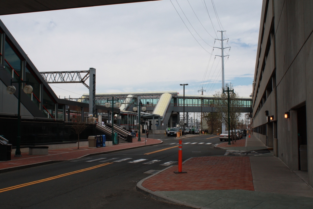
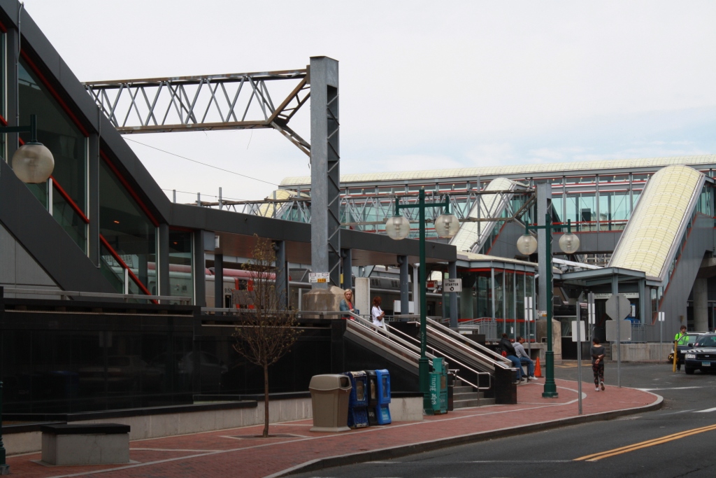
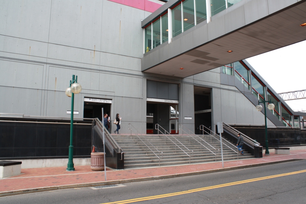
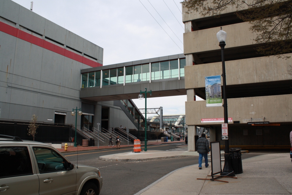
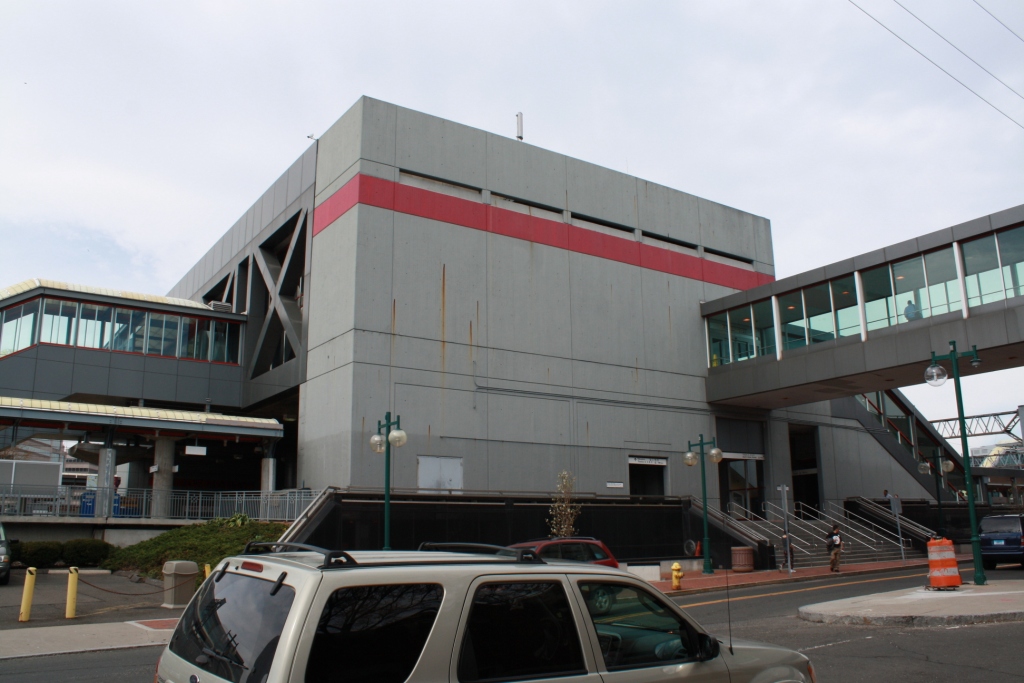
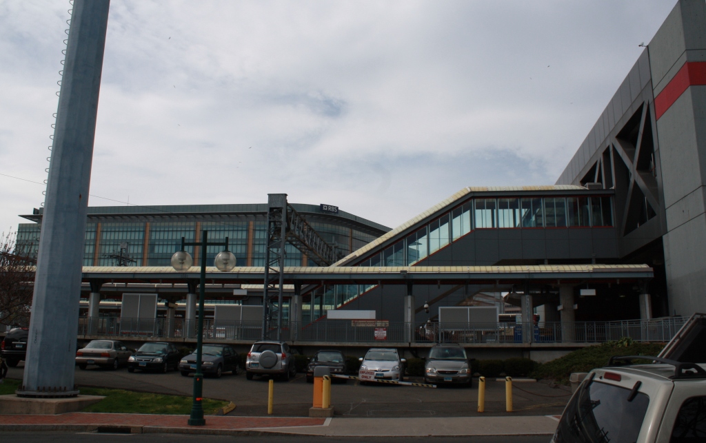
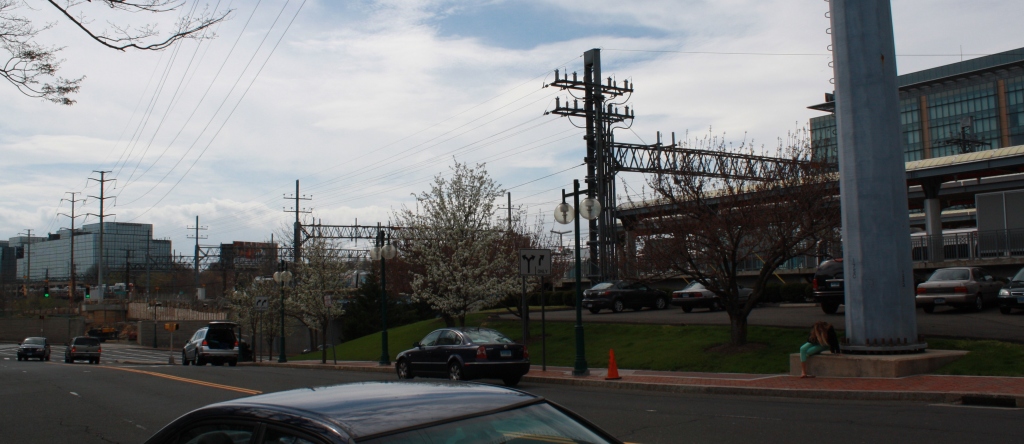
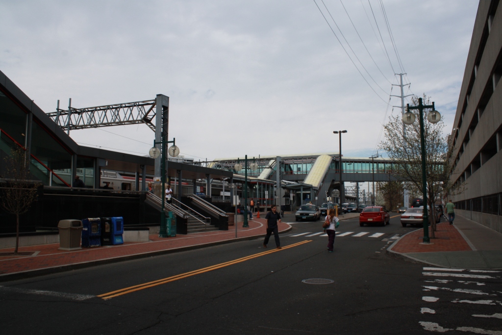
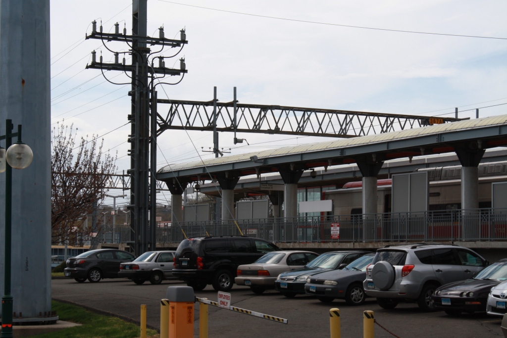
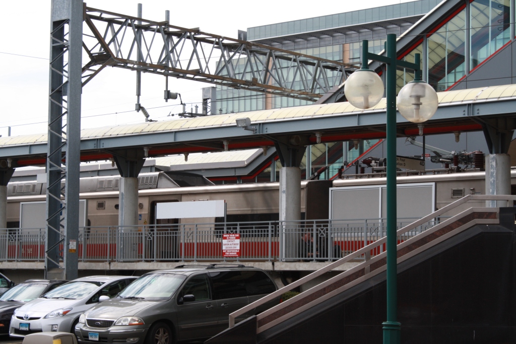
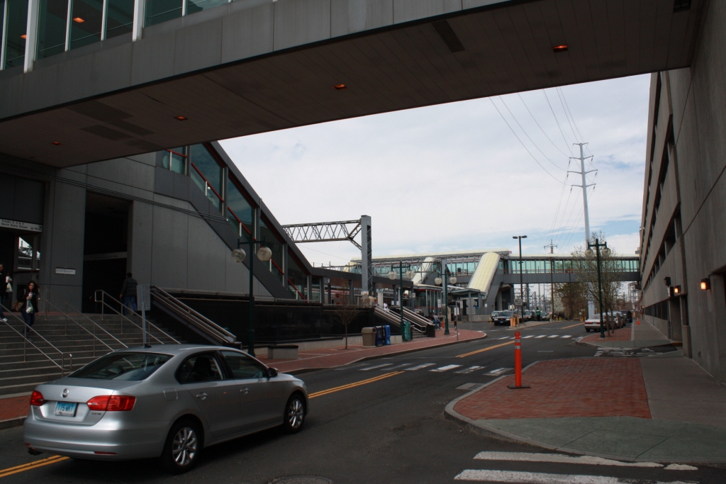
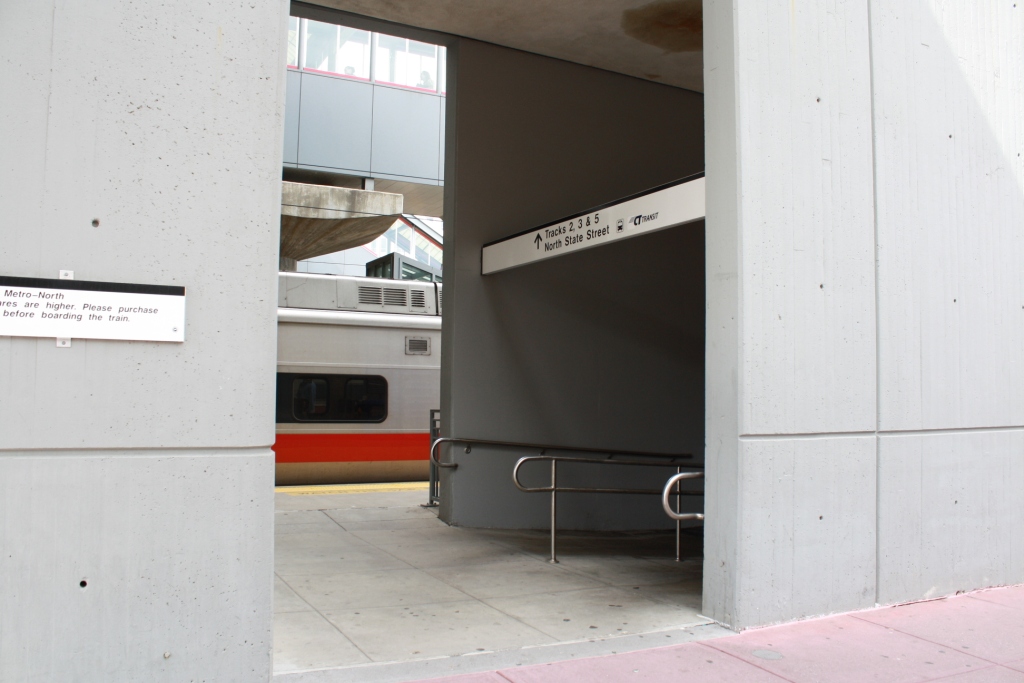
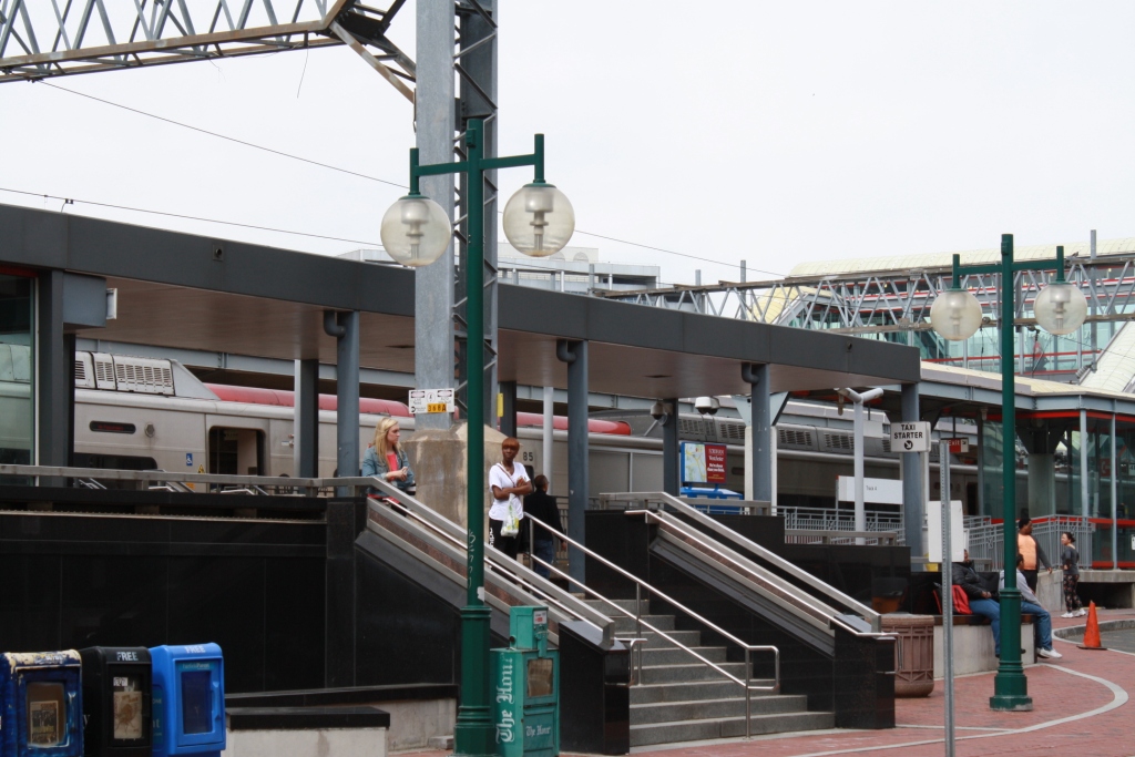
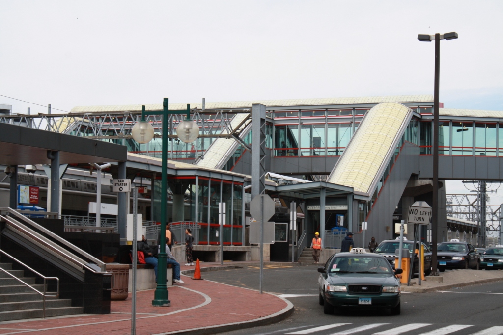
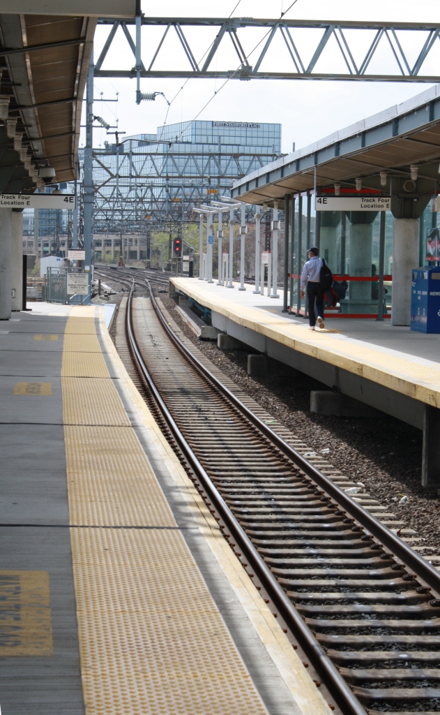
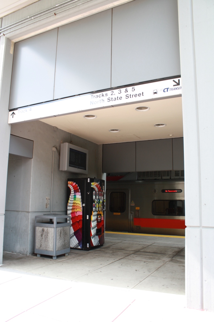
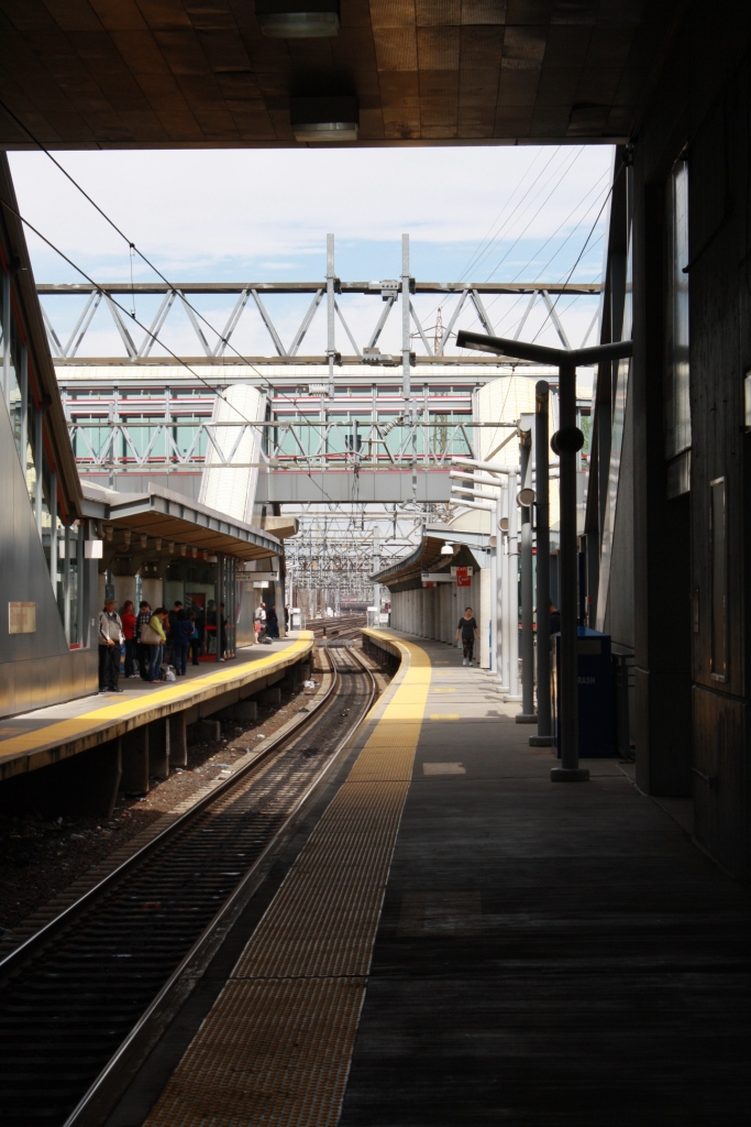
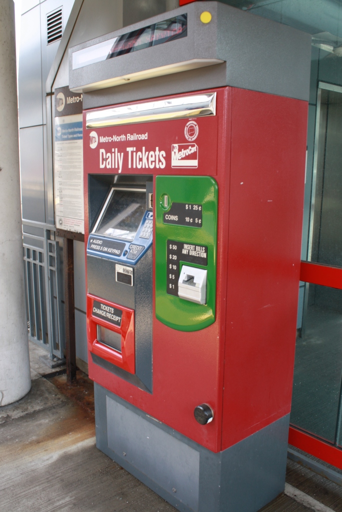
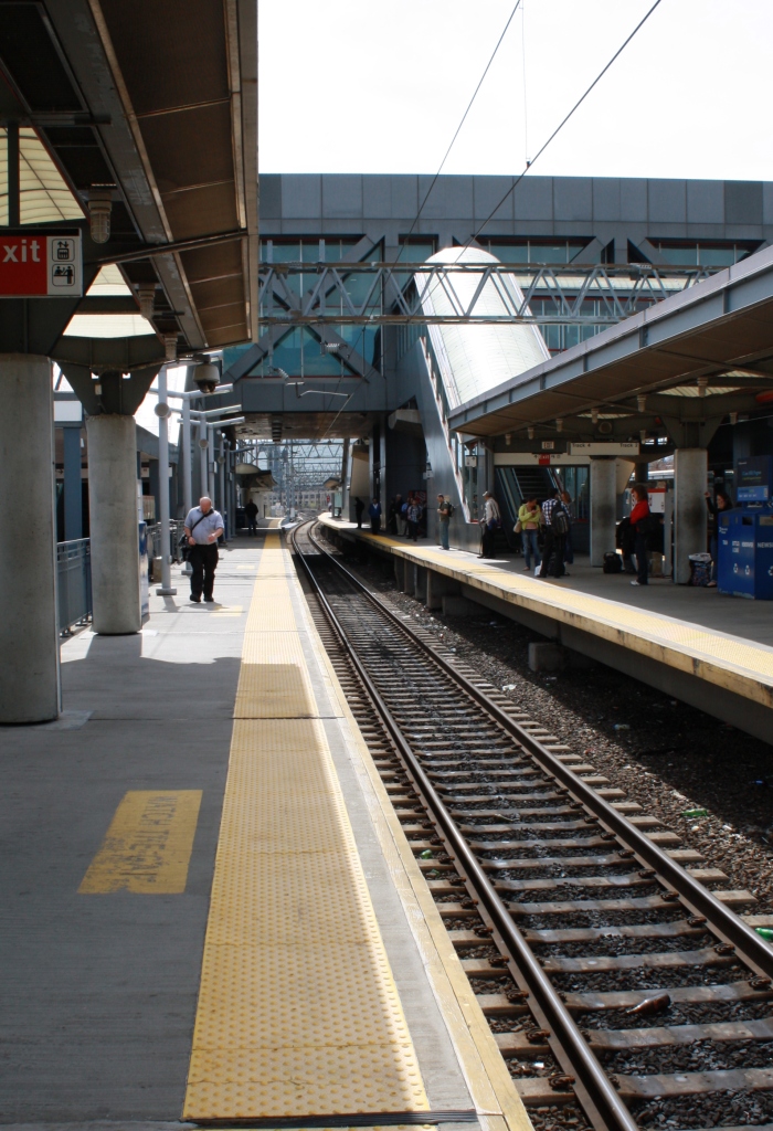
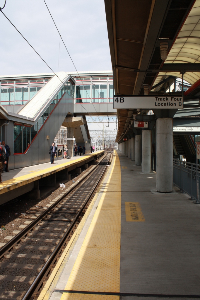
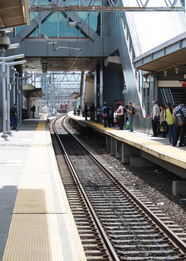
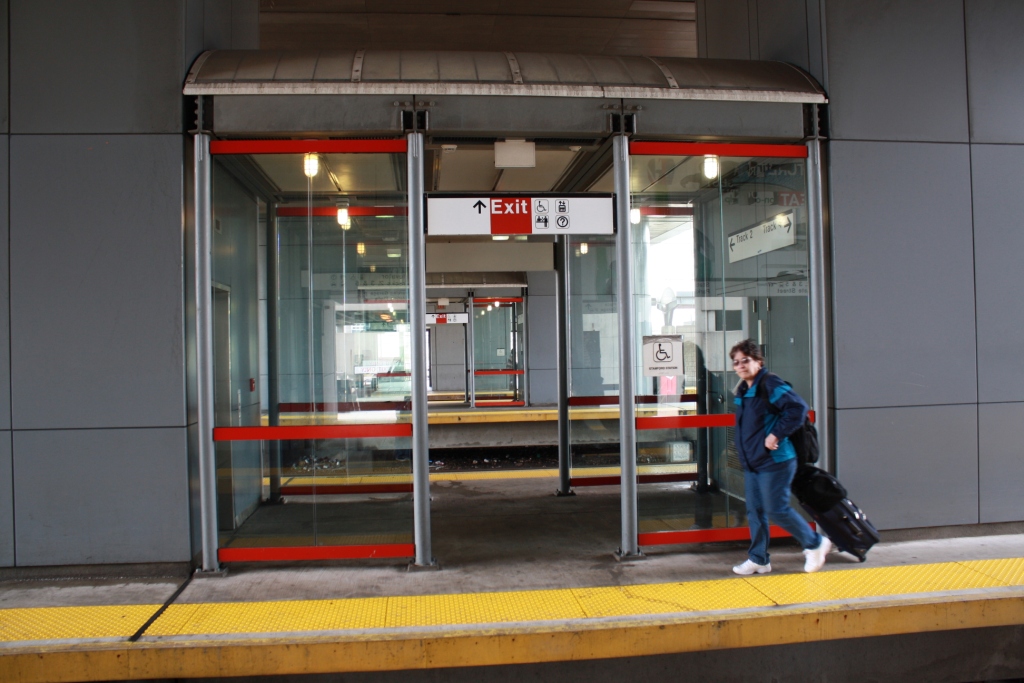
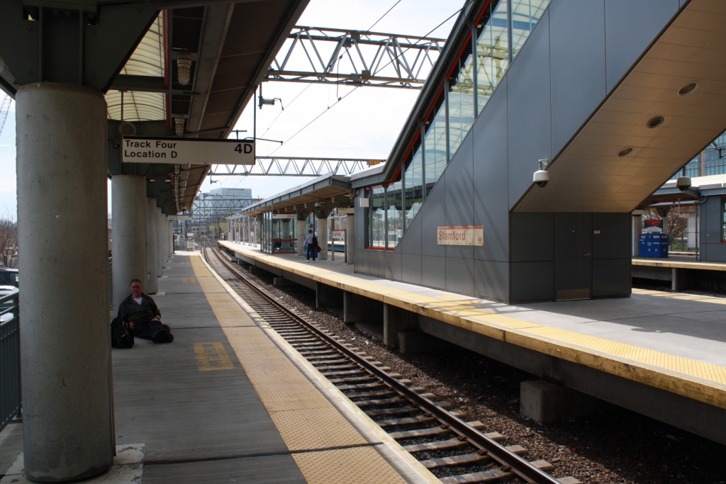
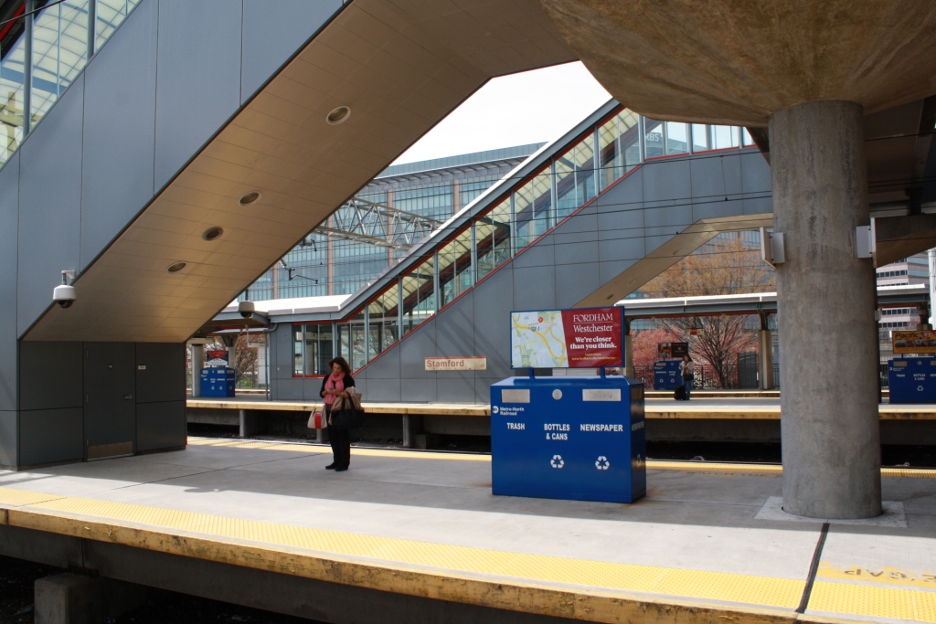
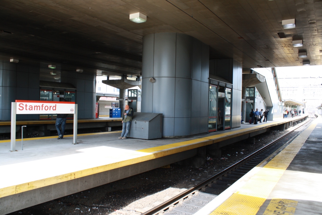
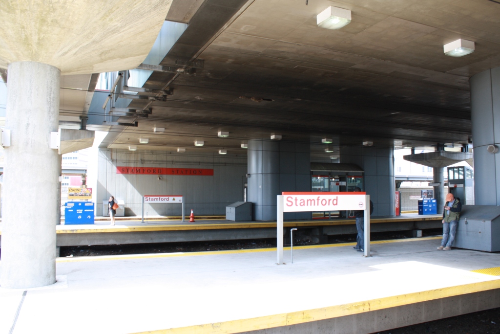
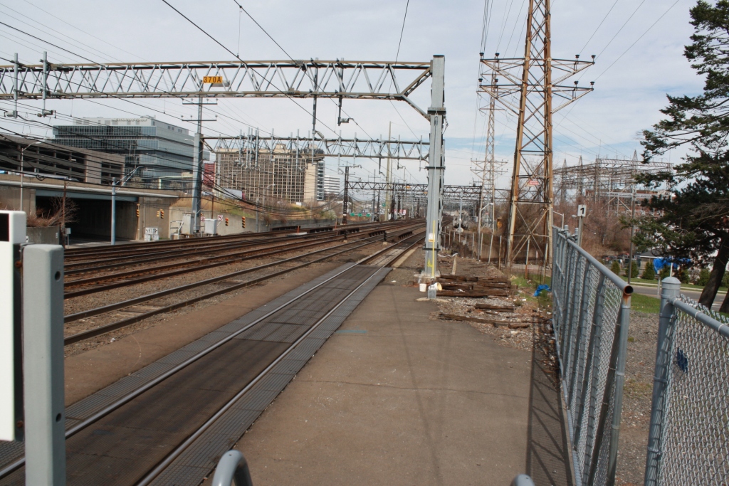
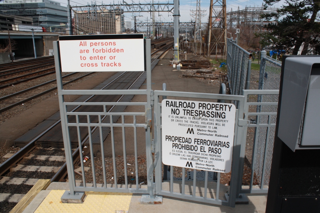
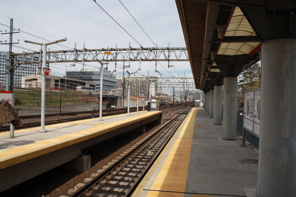
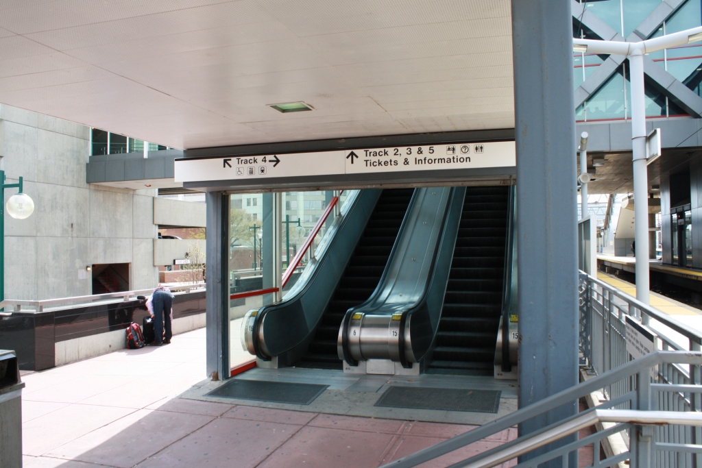
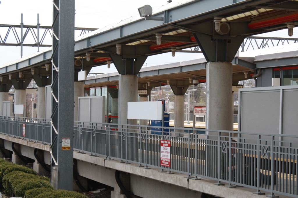
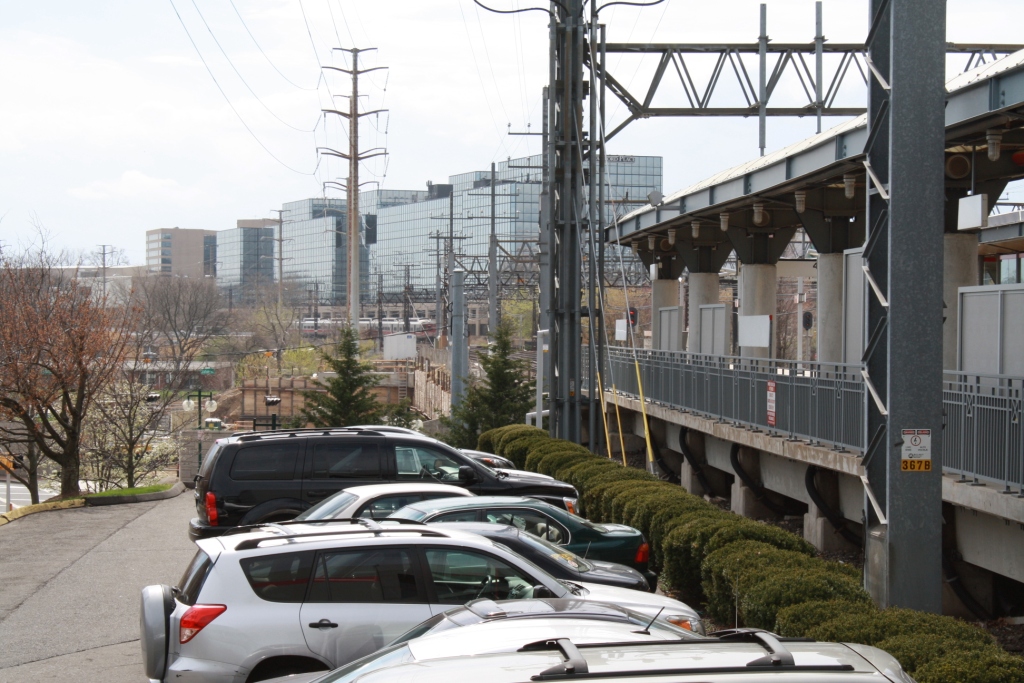
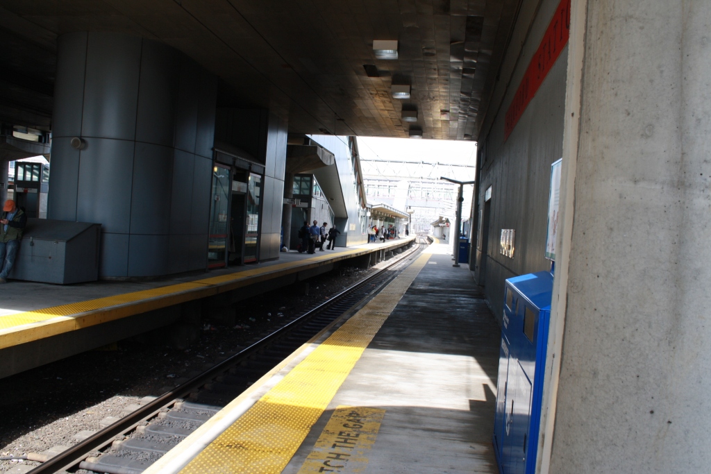
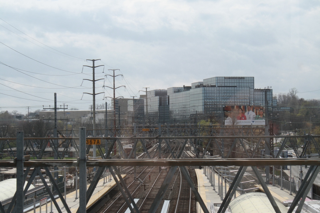
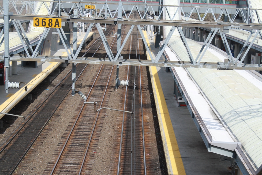
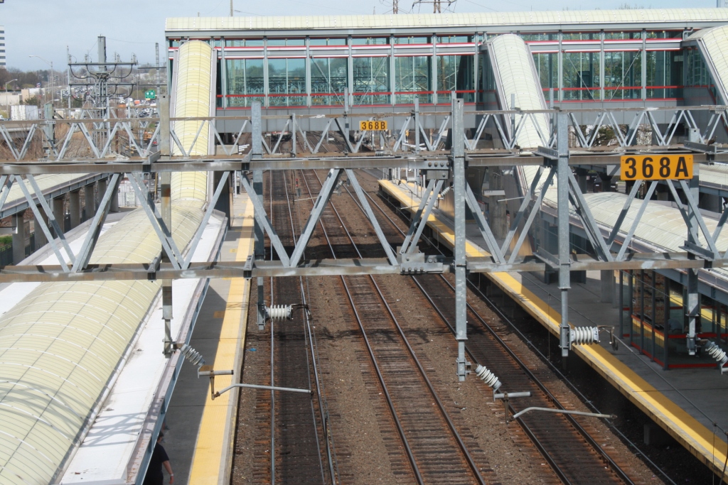
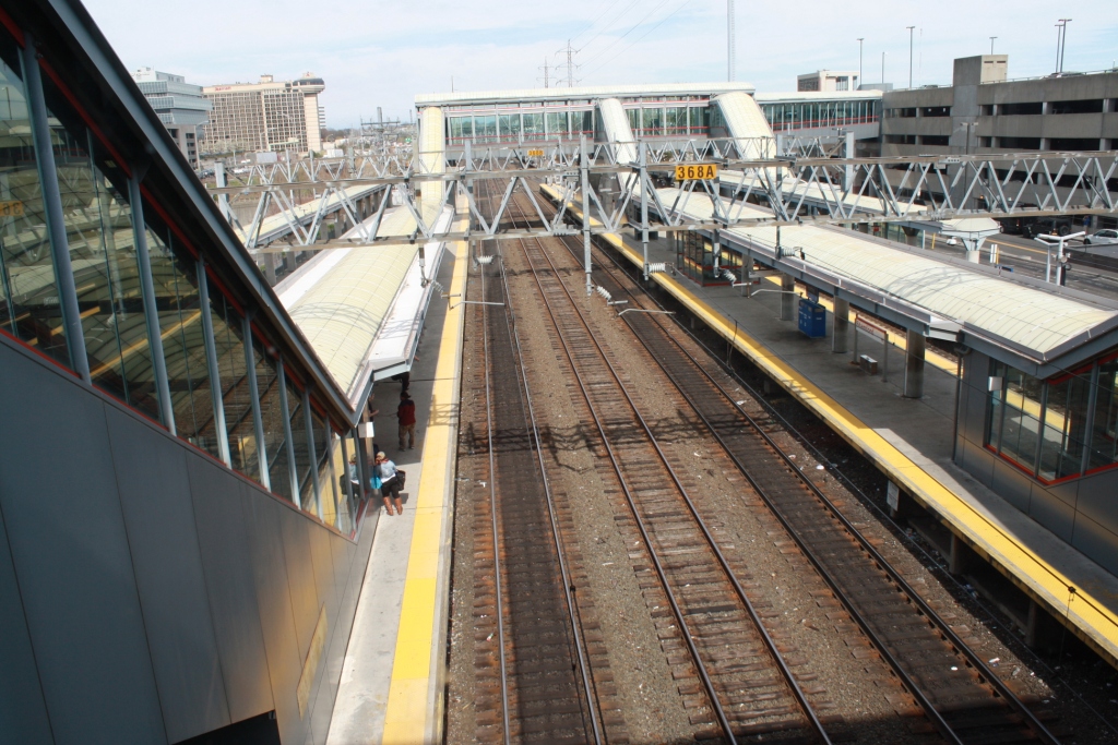
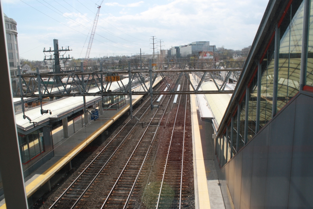
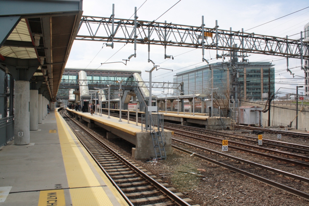
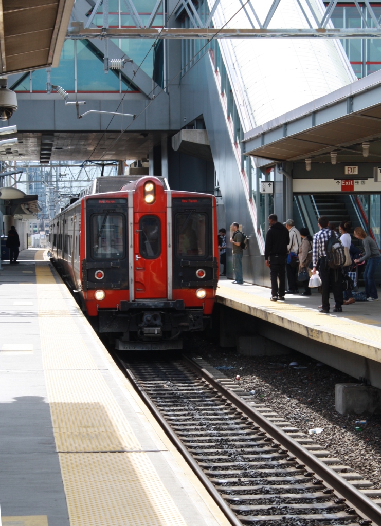
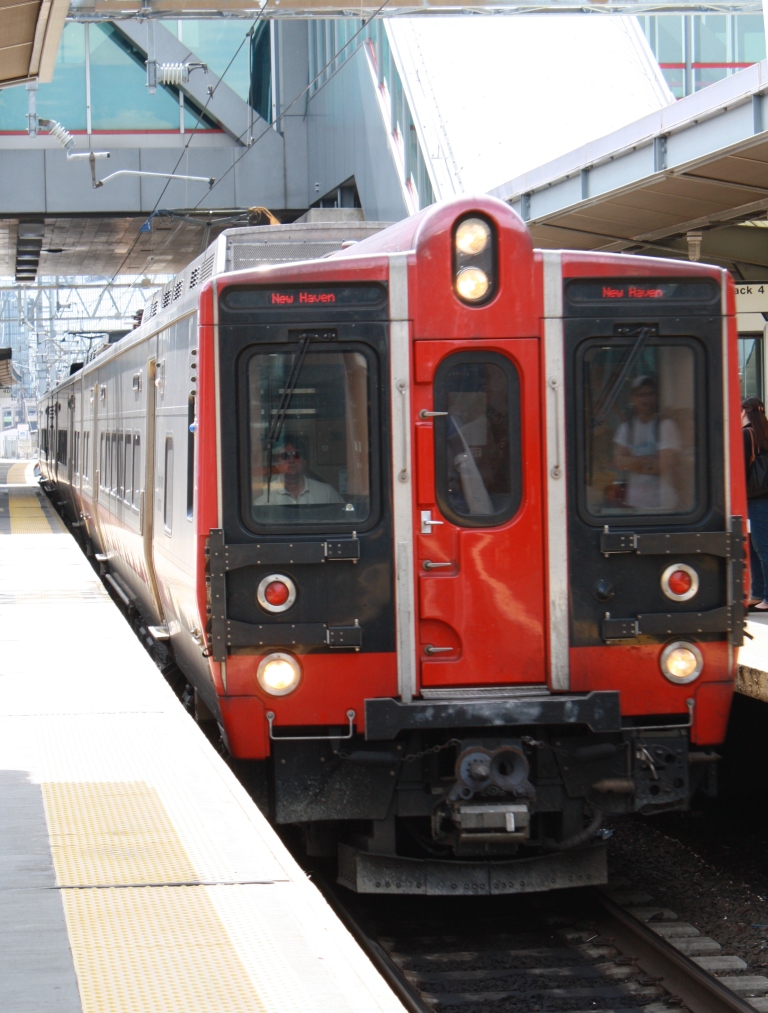
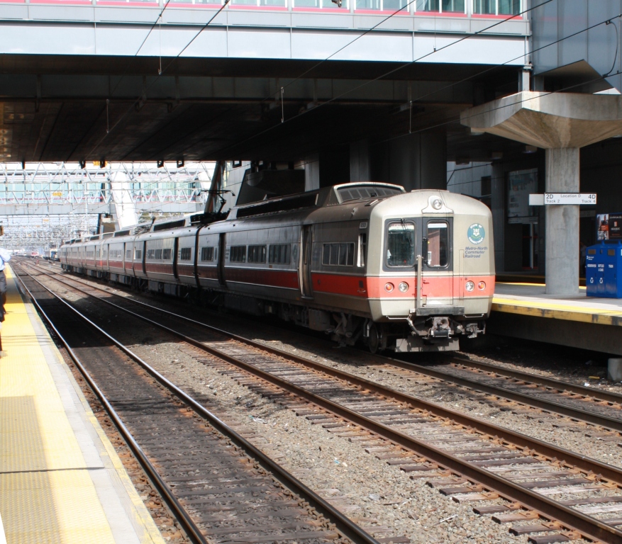
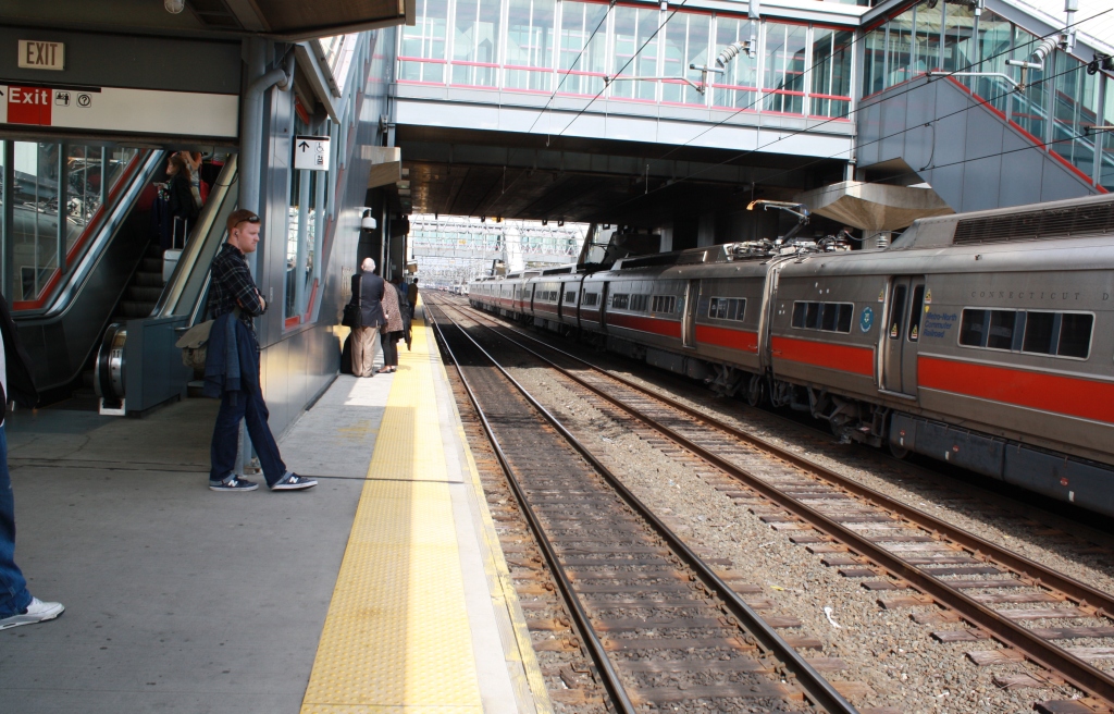
These pictures were taken by R33/R36 Mainline, and I found them here, he's got many more on the page!
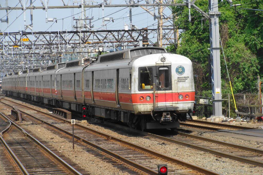
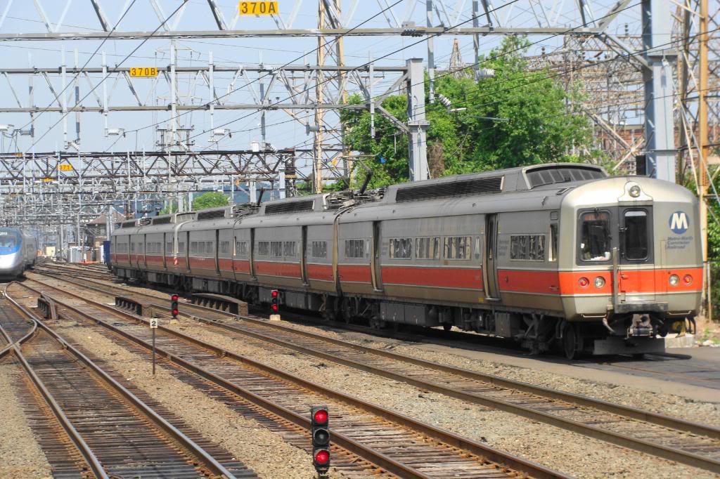
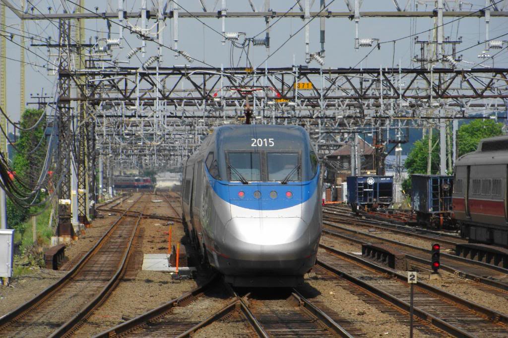
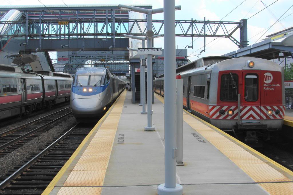
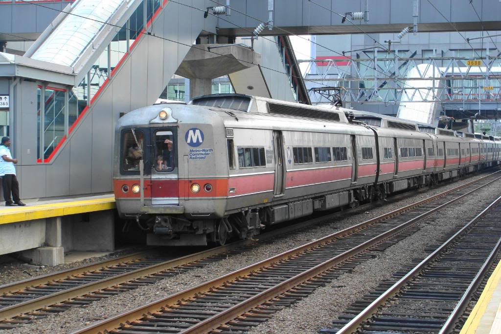
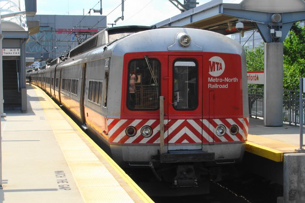
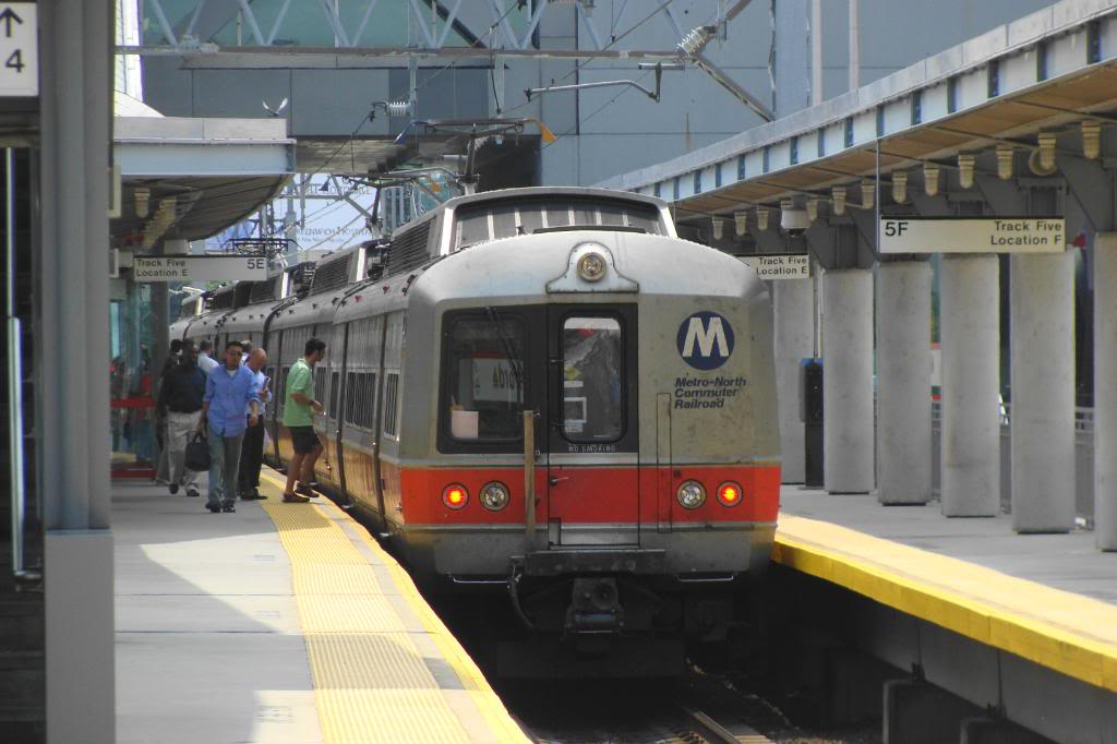
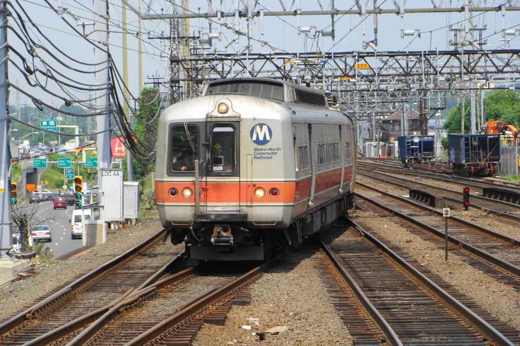
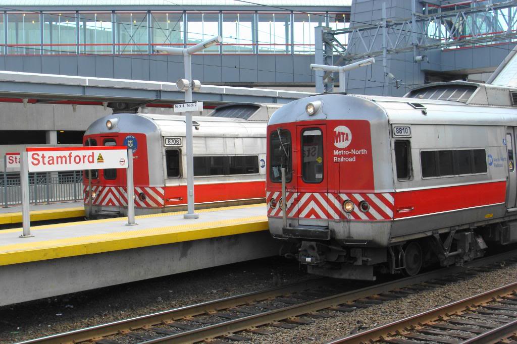
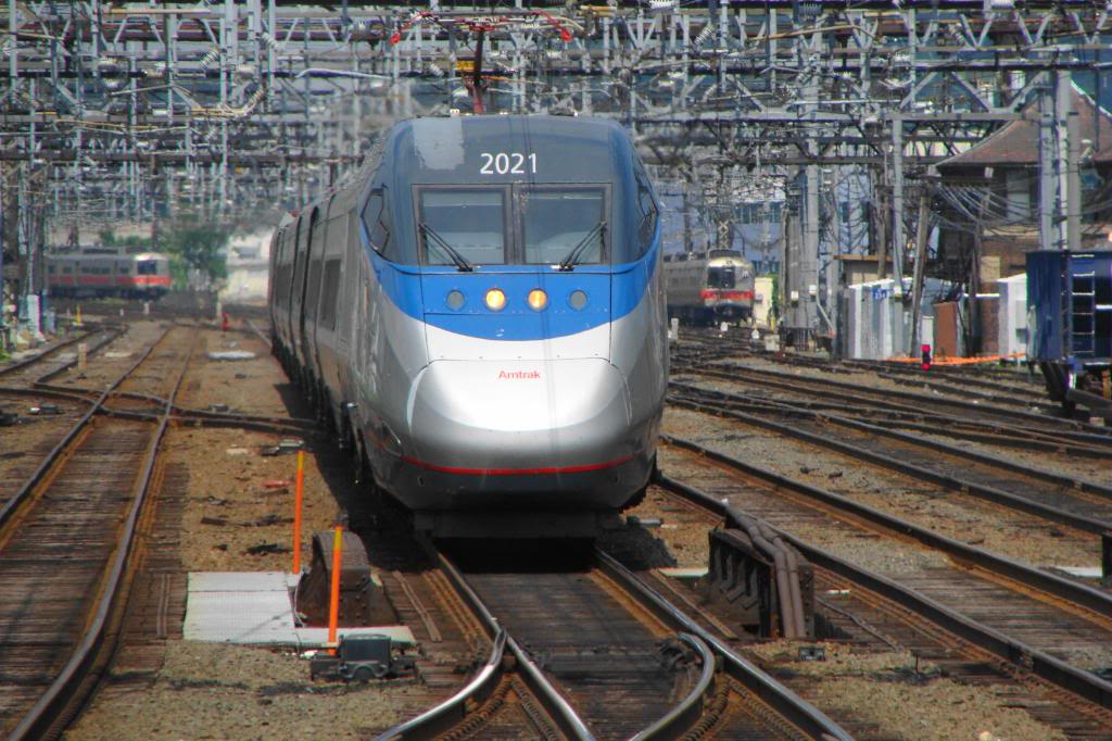
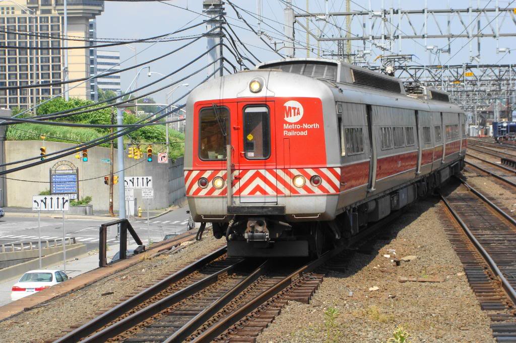
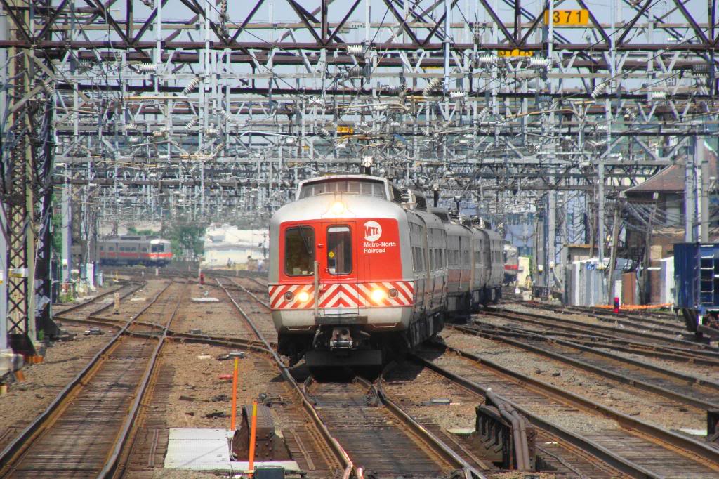
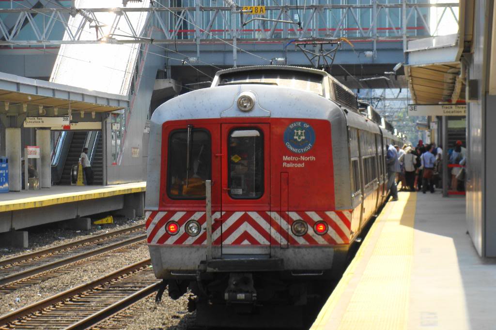
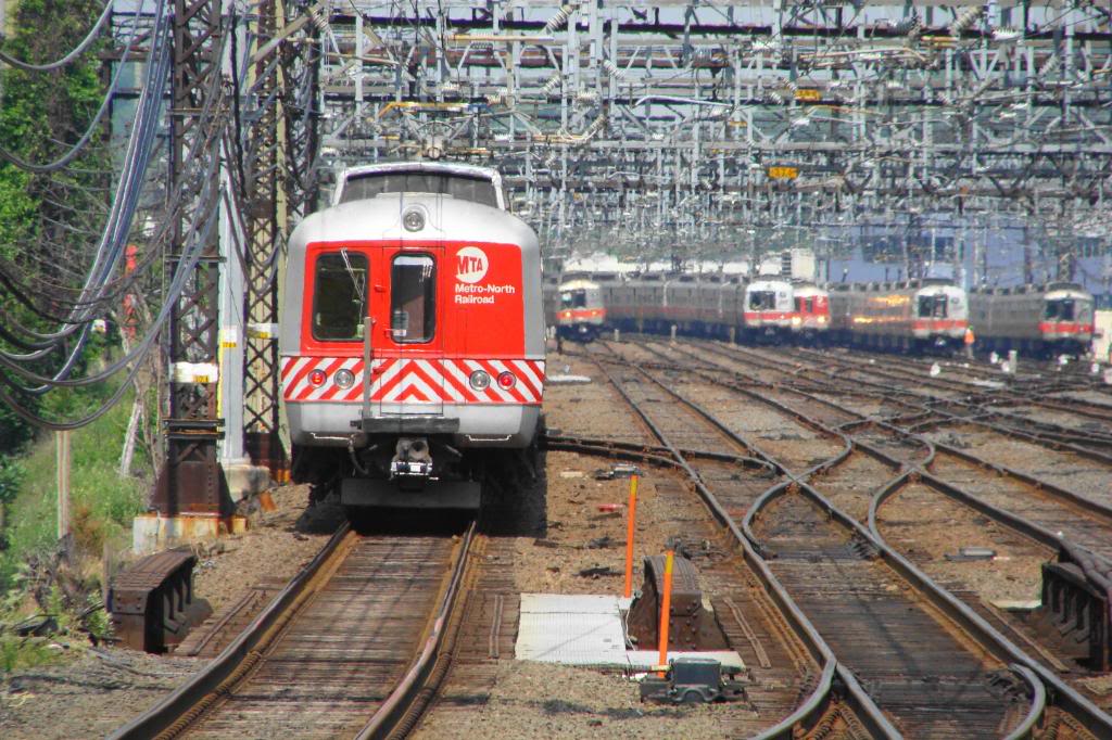
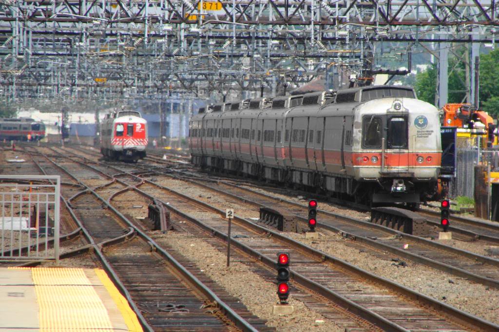
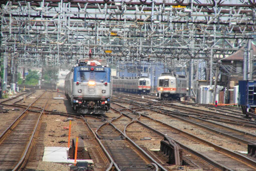
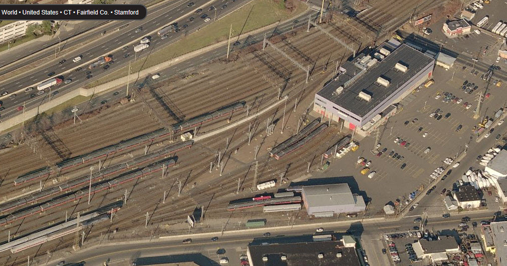
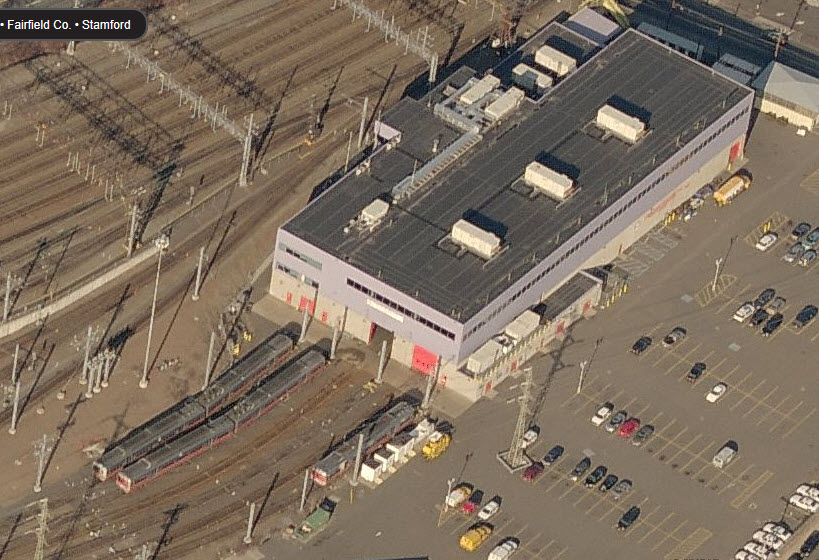
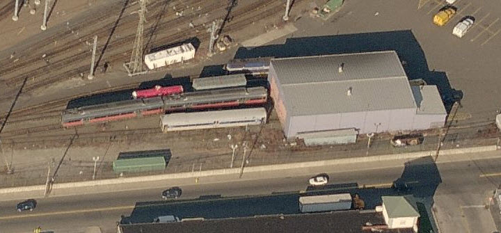
 Metro-North Maintenance Facility
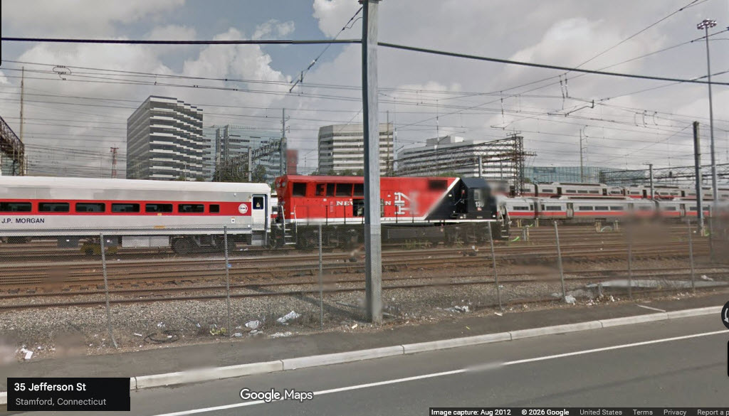
I don't know if Metro-North has put up a fence that keeps you from looking in, but we get a peek at one of their New Haven Engines back in 2012 from this errant Streetview shot below.
It's only a few blocks walking distance from the station if you want to venture over.
 ex New Haven Stamford Tower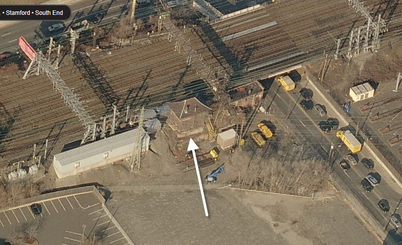
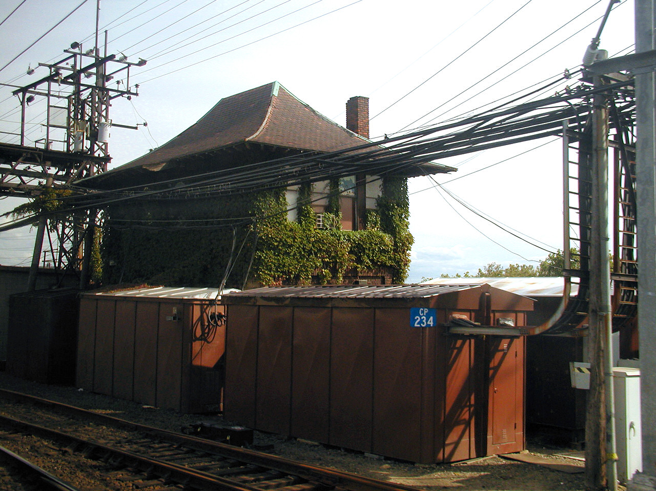 Jersey Mike 2002/2023
At the Station
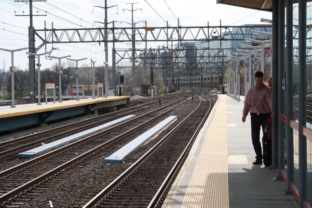
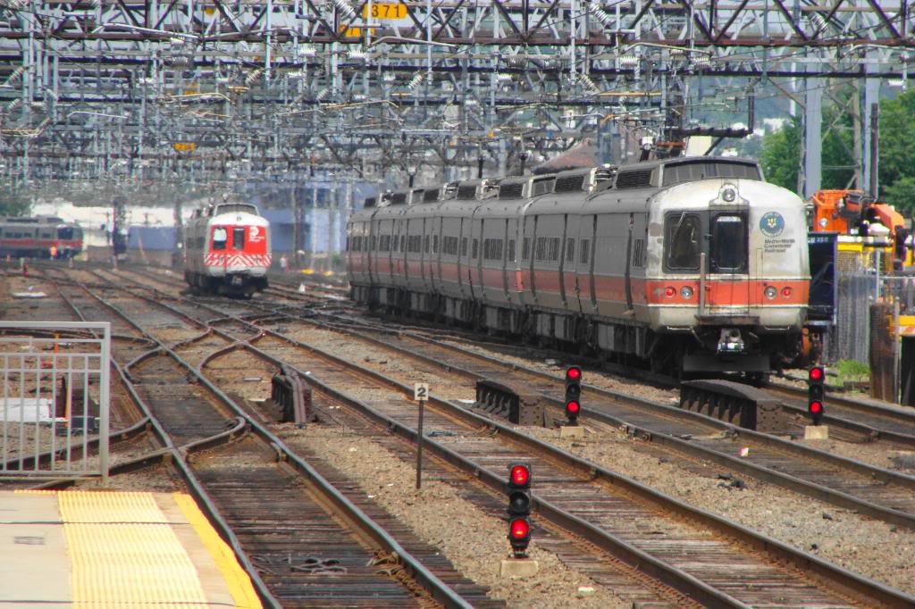
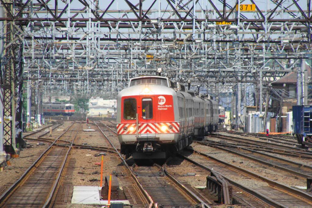
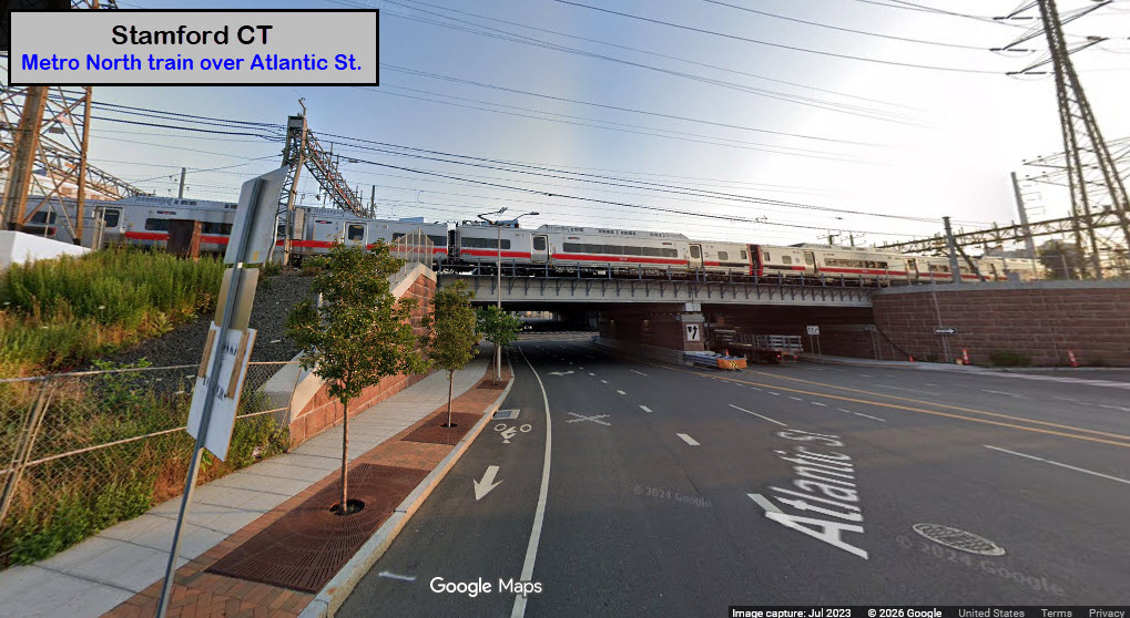
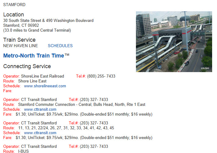
Additional information on the ConnDOT site is here
Trains run at various intervals, closer during the rush, less so off peak. Some trains depart minutes apart, while during the lull, trains may be 20-30 minutes apart. The MTA's page for schedules is here, way too many trains to post here.
https://content.amtrak.com/content/timetable/Northeast%20Regional.pdf

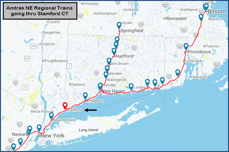
Stamford is serviced by the following Amtrak Trains:
-- the Acela
-- Northeast Regional Trains
-- The Vermonter
Trains stopping at Stamford are way too numerous, so please check out the link above for there timetable.
New Haven Catenary Wire
A Picture from Cos Cob illustrating the New Haven style triangular-shaped catenary wire. Truly unique!
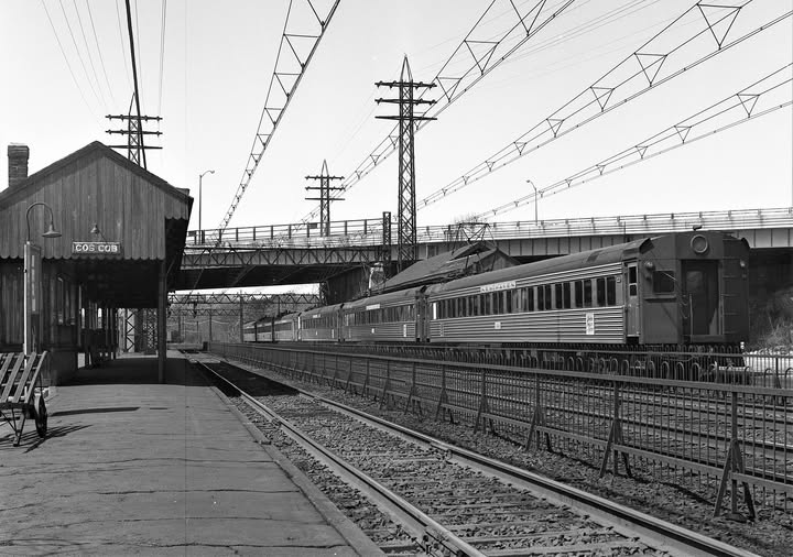 Hal Smith photo, 1965, collection of Gerry Meyle Sr
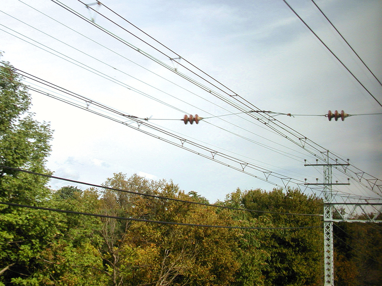 Jersey Mike 2002/2023
Disclaimers:
New format 10/26/23: Please check out my disclaimer page for my standard dribble and contact info here
RAILFAN GUIDES HOME
RAILROAD SIGNALS HOME
Last Modified: 10-Oct-2026