
In General
Getting Here
Map
Sights
Postcards
Signals
The Tunnels of Tehachapi
Floobydust
USGS Maps
RAILROAD SIGNALS HOME
Location / Name:
Tehachapi CA, Kern County
What's Here:
Tehachapi Loop
Data:
GPS Coordinates: 35.197076, -118.53901
Zip Code: 93561 (in town)
Phone A/C: 661
Scanner Frequencies -- see: https://www.radioreference.com/apps/db/?aid=4010 for current list
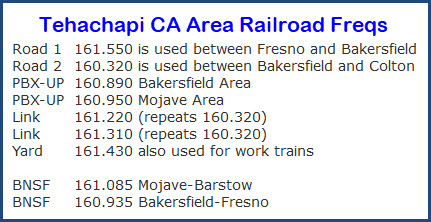 This list is a few years old, and I do not know if it is still accurate.
Access by train/transit:
None
The Scoop:
My first visit to Tehachapi was in 1991, while on a trip to California to visit my sister. I rode up at night, and found a place to pull off the road near the loop, and tried getting some sleep. Only problem was, every time a freight went by, I just had to wake up :-) Once the sun decided to join me, I was really glad I made the trip here, it's an outstanding place to railfan. It's the west coast's equivalent to Horseshoe Curve. On my next visit to L.A., I dragged along the wife, and even she was impressed!
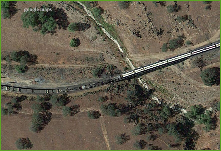
The railroad was built over Tehachapi Pass from Caliente to Mojave in 1876 and is considered an outstanding engineering feat. The track climbs 3,600 feet in 50 track miles from Bakersfield to Tehachapi using "S" curves back and forth up the Tehachapi Creek watershed. At one point just above Keene, the engineer, William Hood, built a large continuous curve which brought the track back over itself and has become known as the Tehachapi Loop. This engineering feat has been named one of the railroad wonders of the world.
In 1955 a monument celebrated its designation as a California Historical Landmark, and in 1998 it was honored by the American Society of Civil Engineers as a National Civil Engineering Historic Landmark.
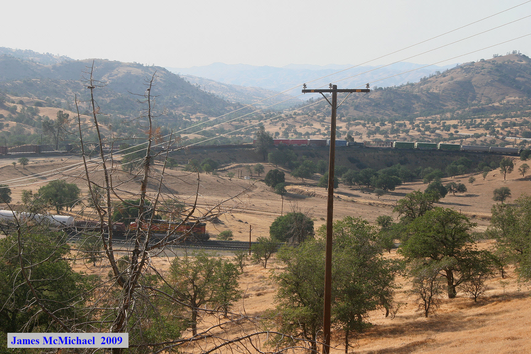
The best viewing locations are along Woodford-Tehachapi Road either southeast from Keene or northwest of Old Towne Tehachapi.
The above is from the Chamber of Commerce webpage at http://www.tehachapi.com/v-int.php
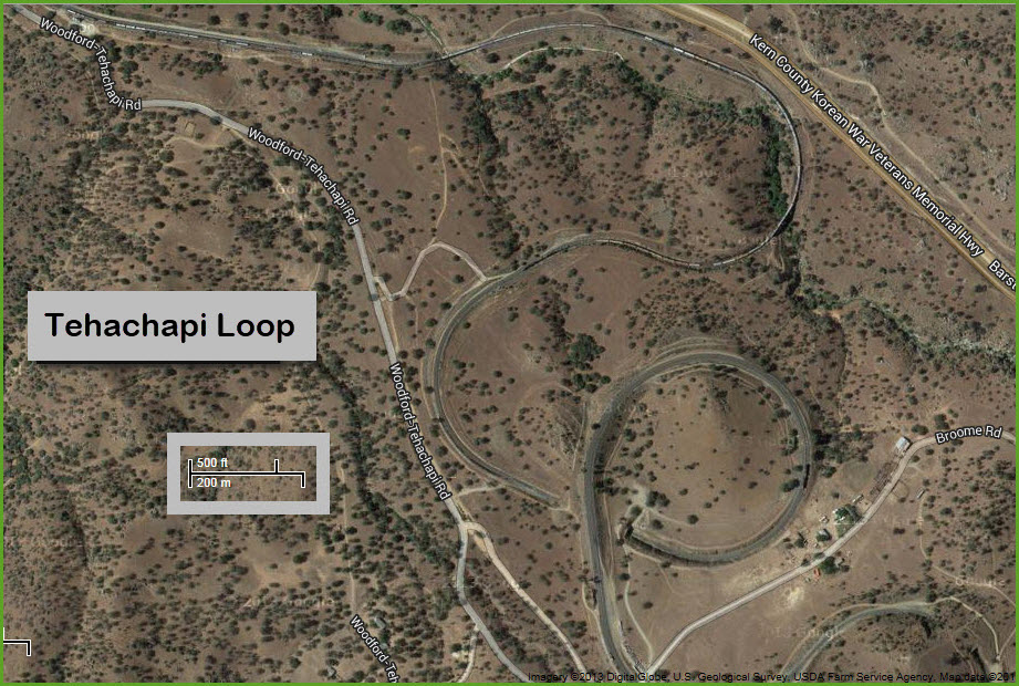
The Tehachapi Loop is a 0.73-mile (1.17 km) long 'spiral', or helix, on the Union Pacific Railroad line through Tehachapi Pass, of the Tehachapi Mountains in Kern County, south-central California. The line connects Bakersfield and the San Joaquin Valley to Mojave in the Mojave Desert.
Seeing a daily average of almost 40 trains, the line is one of the busiest single-track mainlines in the world.
With its frequent trains and spectacular scenery, the Loop is one of the prime railfan areas in the country. In 1998, the Loop was named a National Historic Civil Engineering Landmark and is now California Historical Landmark #508.
One of the engineering feats of its day, the Loop was built by Southern Pacific Railroad beginning in 1874, and opened in 1876. Contributors to the project's construction include Arthur De Wint Foote and the project's chief engineer, William Hood.
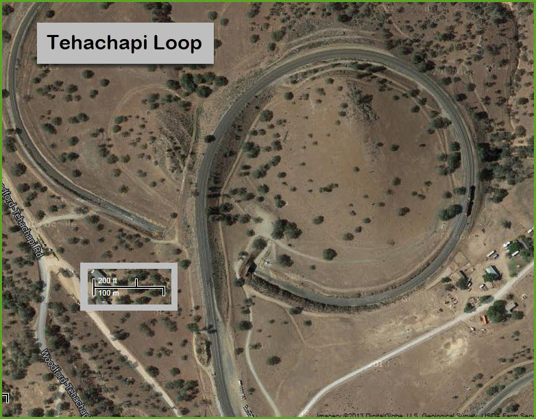
On the loop, the track passes over itself, lessening the grade. The loop gains 77 feet (23 m) in elevation as the track climbs at a steady 2% grade. A train more than 4,000 feet (1,200 m) long thus passes over itself going around the loop. At the bottom of the loop, the track passes through Tunnel 9, the ninth tunnel built as the railroad works its way from Bakersfield.
The siding on the loop is known as Walong after Southern Pacific District Roadmaster W. A. Long.
A large white cross, "The Cross at the Loop", stands atop the hill in the center of the loop in memory of two Espee employees killed on May 12, 1989, in a train derailment in San Bernardino, California.
The Loop became the property of the Union Pacific in 1996, when it absorbed the Southern Pacific. Trains of the BNSF Railway also use the loop under trackage rights.
Union Pacific bars passenger trains from the line, which prevents Amtrak's San Joaquin train from serving Los Angeles. This has been the case since the creation of Amtrak in 1971. An exception is made for the Coast Starlight, which uses the line as a detour if its normal route is closed
The above is from Wikipedia.
Back in Tehachapi, there is a railroad museum, the Tehachapi Depot Museum. More info below.
If you're looking for a place to stay, you may want to consider a BnB that is mere feet from the tracks near the Tehachapi Loop.
See the floobydust section for more info.
Acknowledgements:
Sean Lamb/Wikipedia
Randy Murphy/North American Rails
James McMichael
Carrtracks
Dicklyon/Wikipedia
Denver Todd
Google Maps
Websites and other additional information sources of interest for the area:
http://en.wikipedia.org/wiki/Tehachapi_Loop
http://www.trainweb.org/brettrw/maps/loop.html My map references railfan locations on this page
http://hewgill.com/photo/trips/tehachapi-loop/
http://www.tehachapi.com/v-int.php
http://railfanlocations.weebly.com/tehachapi-ca.html
http://www.carrtracks.com/cateh356sp5317.htm
http://northamericanrails.com/u_p_-_tehachapi_pass/tehachapi_pass_-_bealville_area
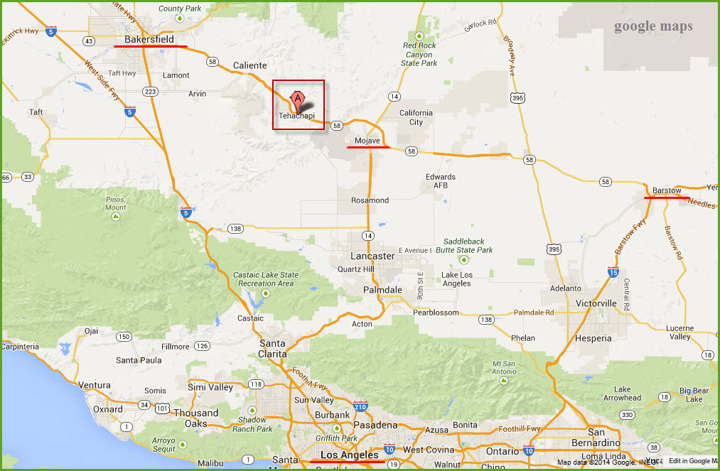
From LA, take I-5 north to the Antelope Valley Freeway (CA 14), exit 162. Take that north ~ 65 miles thru Palmdale to Mojave and hang a left.
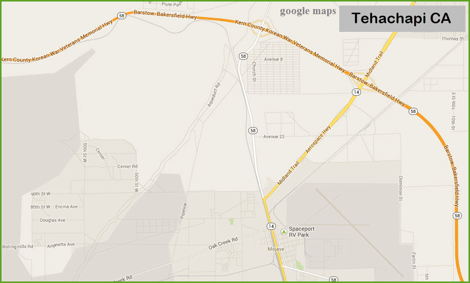
In Mojave, you have a choice of whether you want to continue on 14, which bears to the right, or go straight on CA 58. Both will take you to the Barstow-Bakersfield Highway. Head west to Tehachapi. It will take you a couple of 2 or 3 hours to get to Tehachapi from LA.
While in Mojave, you may want to check things out, for there is a small yard and a wye there.
The railroad parallels you on 58 for a good portion of the run between Mojave and Tehachapi.
From other destinations, please use your GPS. The coordinates are: 35.197076, -118.53901
Maps
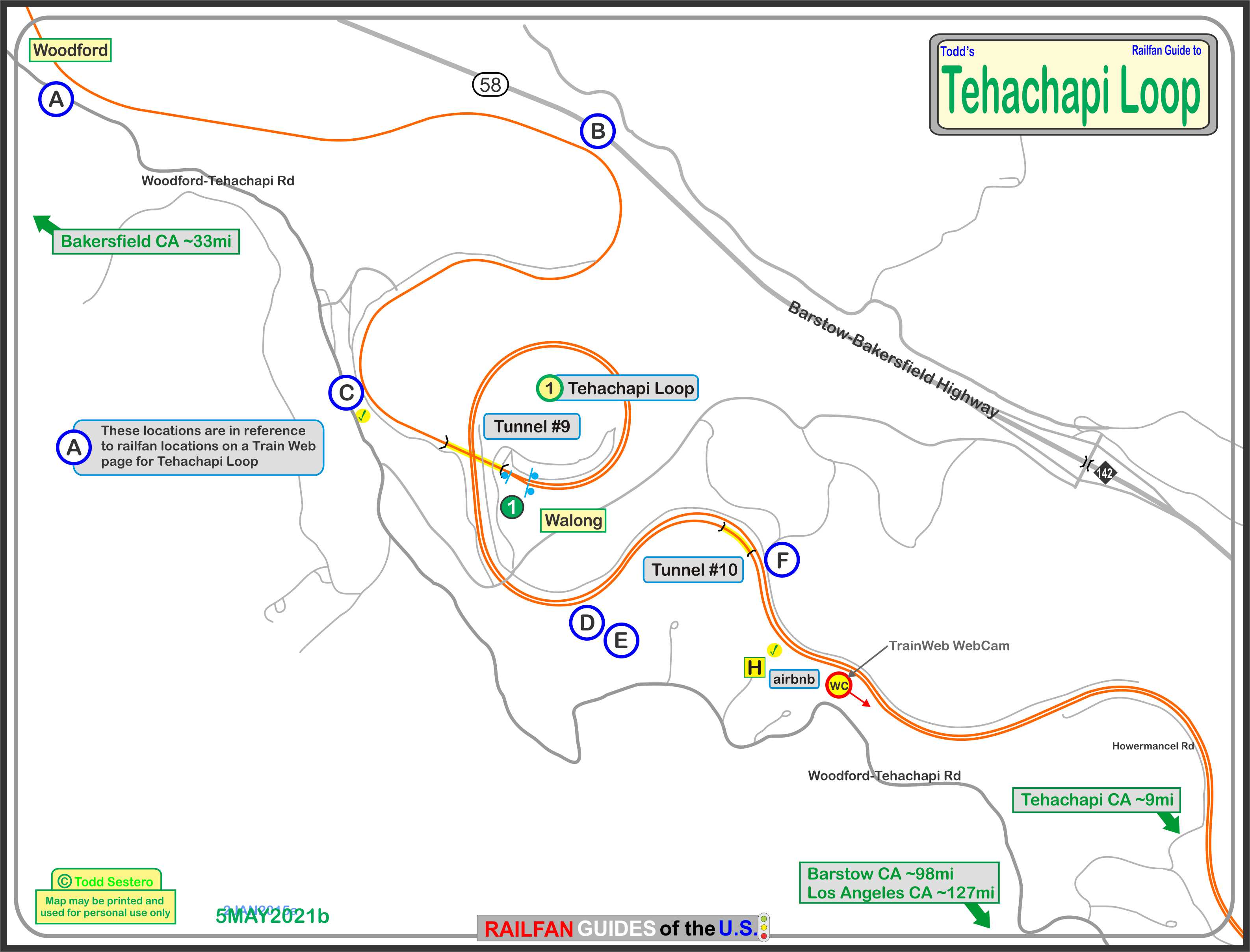
The above map is here in PDF format
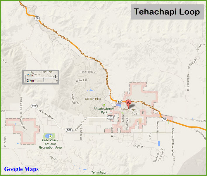
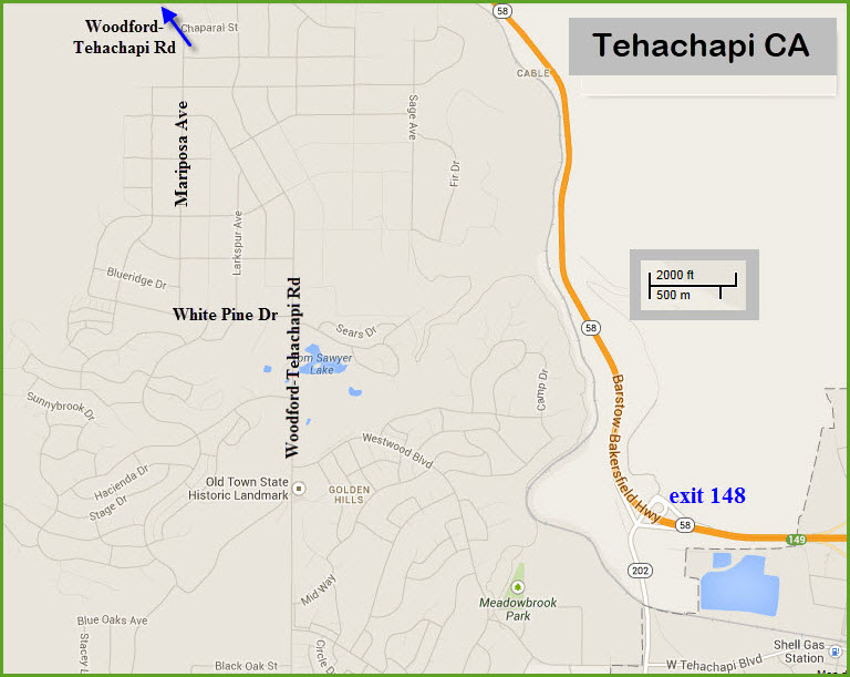
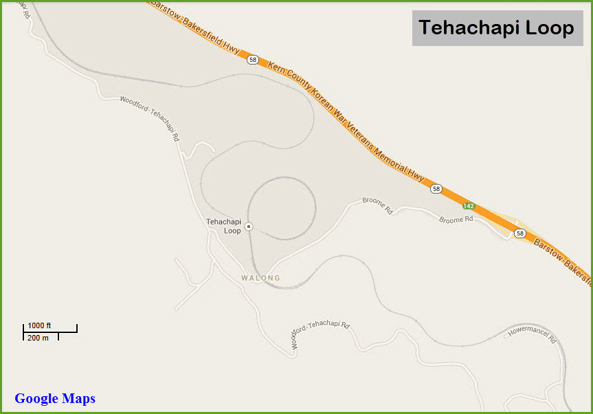
Tehachapi Loop
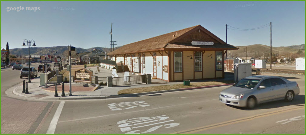
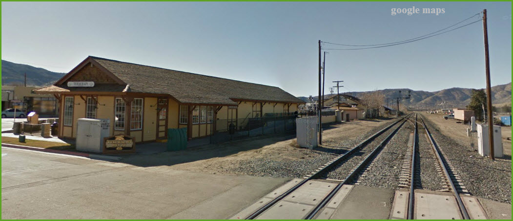
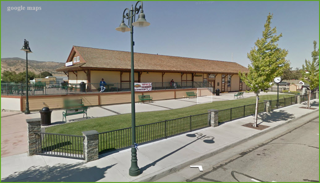
Tehachapi Depot Historical Museum
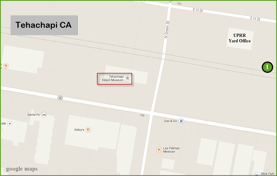
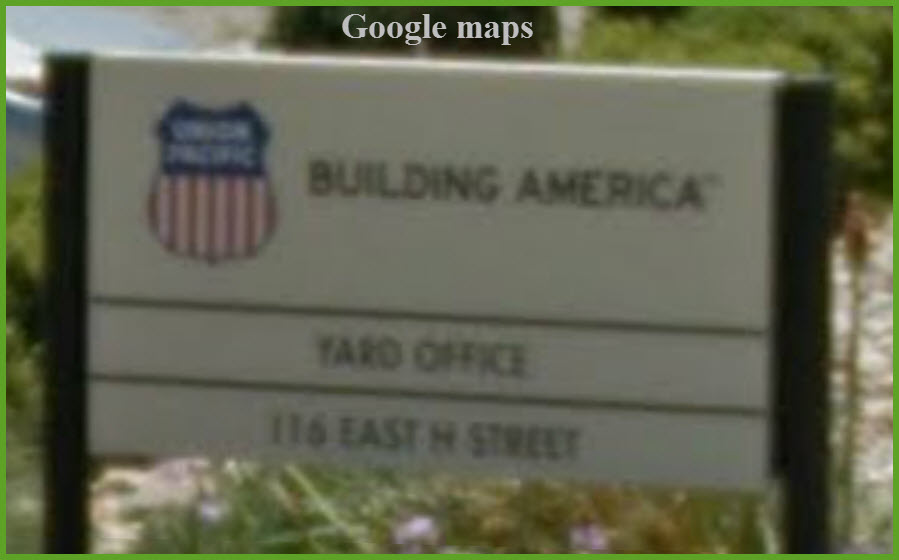
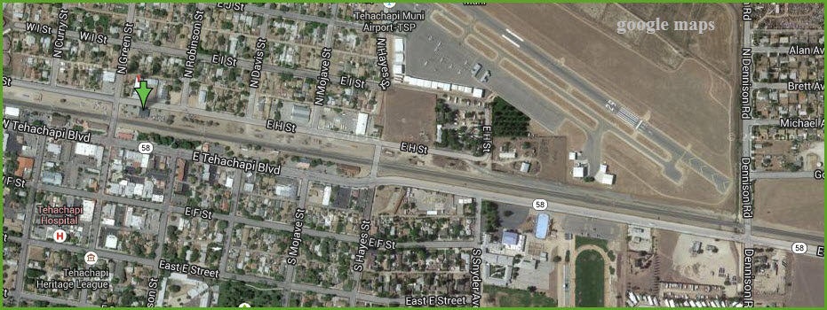
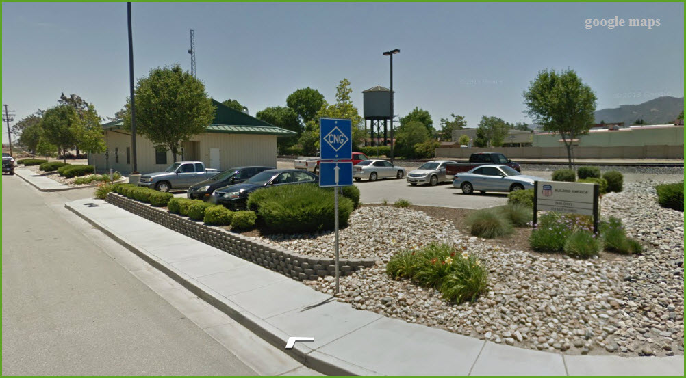
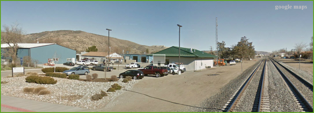
UP Yard Office
the Tehachapi Museum
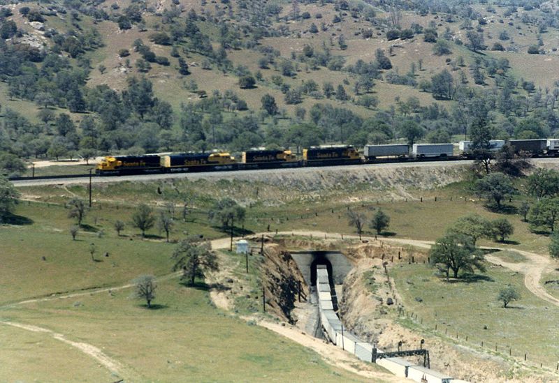
Picture by Sean Lamb, from Wikipedia, ~1987.
An eastbound ATSF freight crossing over itself at tunnel #9.
Signals guard the entrance of the tunnel where the two tracks go into one, but the signal bridge is now gone.
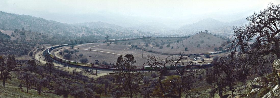
Photo by Dicklyon from Wikipedia ~2001 or so.
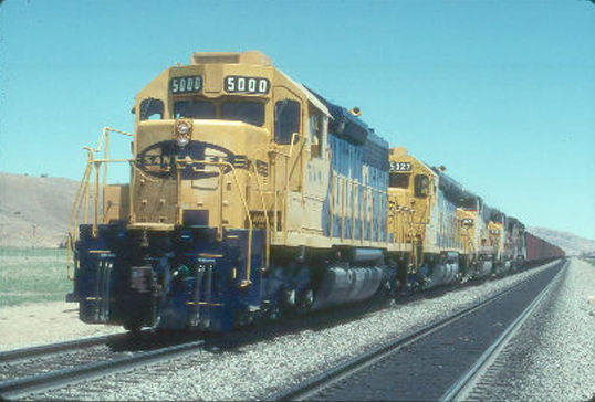
Trains will often use mid-train helpers.
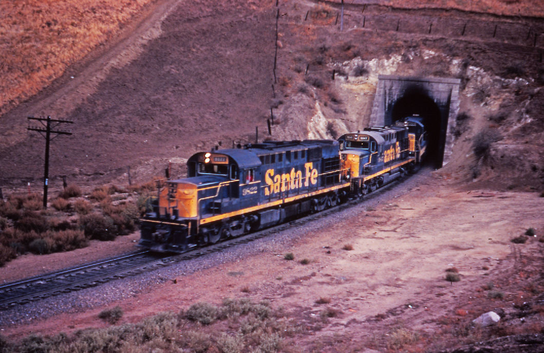
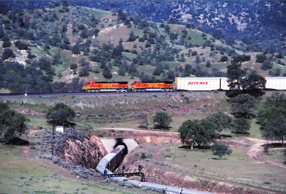
The following pictures were found on EBay. The last three even have signals in them!
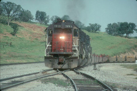
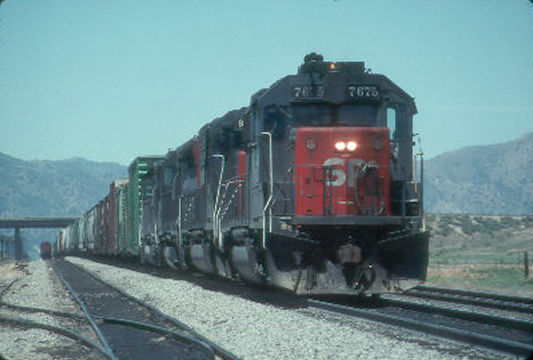
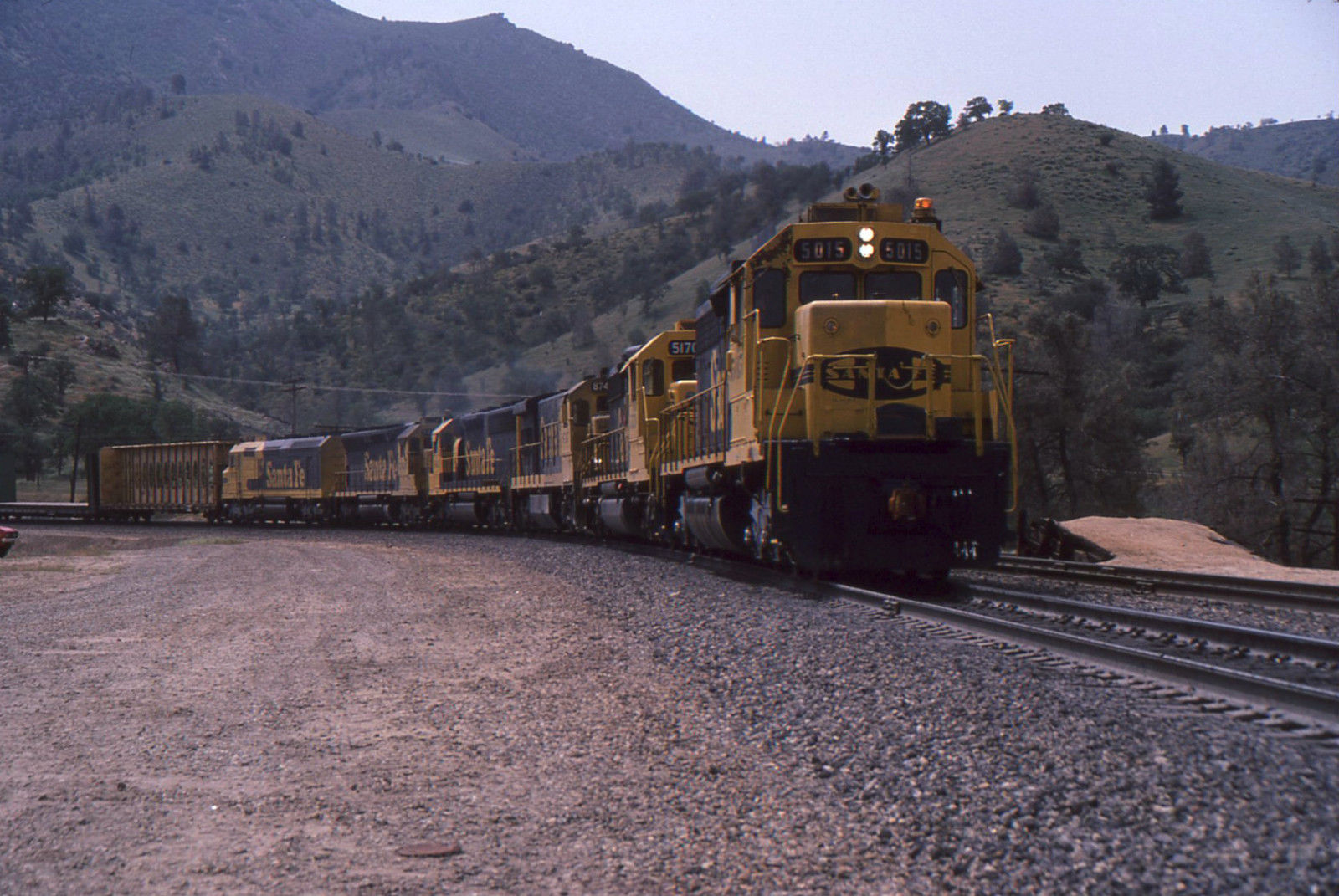
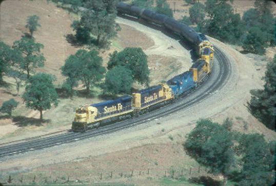
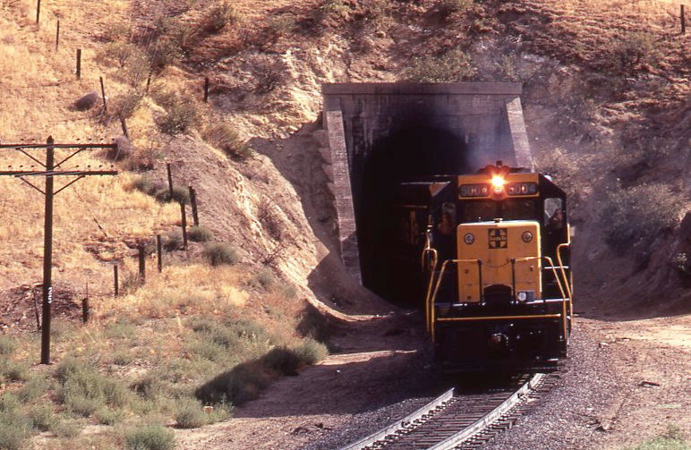
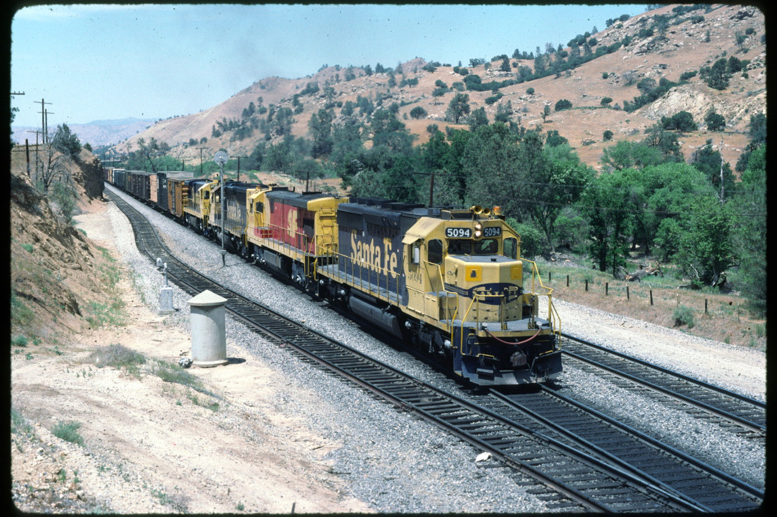
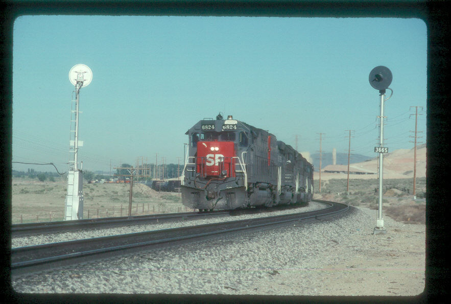
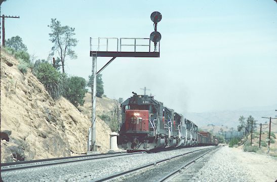
GPS Coordinates: 35.132327, -118.447678
101 W. Tehachapi Blvd.
661-823-1100
Hours: Thursday through Monday 11:00am to 4:00pm
For additional information visit www.tehachapidepot.com or call.
The Depot Museum houses several large collections of historic railroad artifacts, including antique railroad maintenance equipment and tools, dinnerware, signs and other railroadiana, plus stories and photographs of the men and women who built the railroad and whose lives were affected by it.
The museum also has an impressive number of signals, including a B&O CPL and a couple of Pennsy PL dwarves.
And, quite surprisingly, the museum has a creditable number of representative western railroad signal types.
The first set of four pictures are from Richard Gamble, and he recently took these on a visit with his son. They both enjoyed the museum. Many thanks for sending them in!
The other pictures with a green outline are from Google streetview.
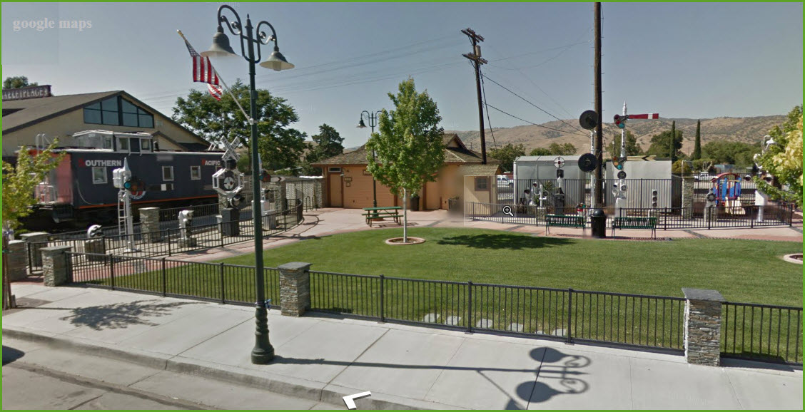
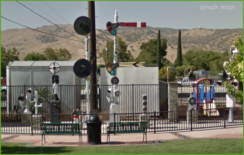
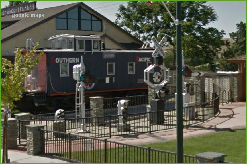
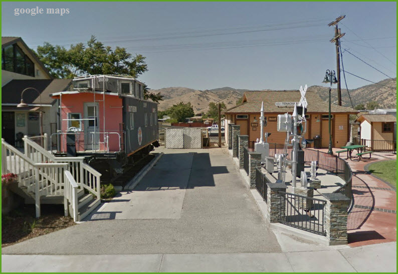
GPS Coordinates: 35.132751, -118.446728
The green arrow points to the yard office, and the "yard" appears to be just a siding :-)
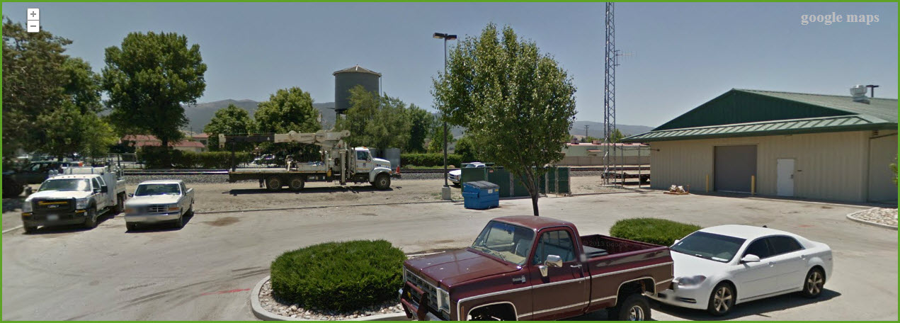
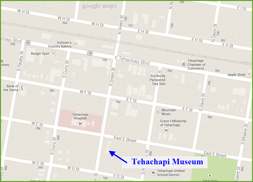
GPS Coordinates: 35.129517, -118.447895
The museum is located at 310 S. Green Street. Admission is free.
Hours: Friday through Sunday, Noon - 4pm.
661-822-3937, call for more info
tehachapimuseum.org
A brochure is available at the Chamber of Commerce office.
The museum houses items of historical significance from the area.
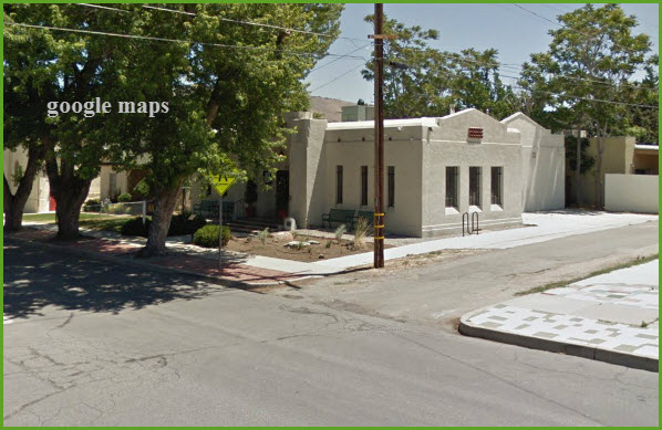
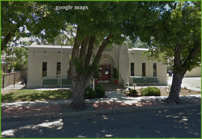
I found all of these postcards on EBay. Couldn't find one for the depot in town, tho.
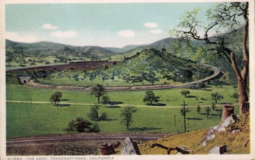
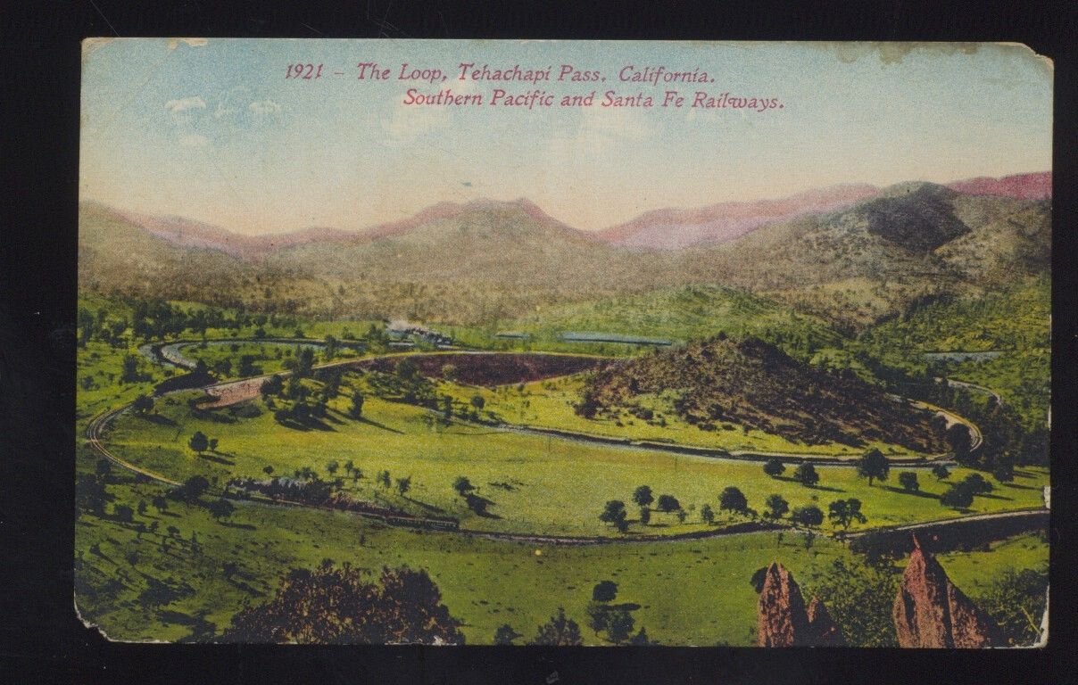
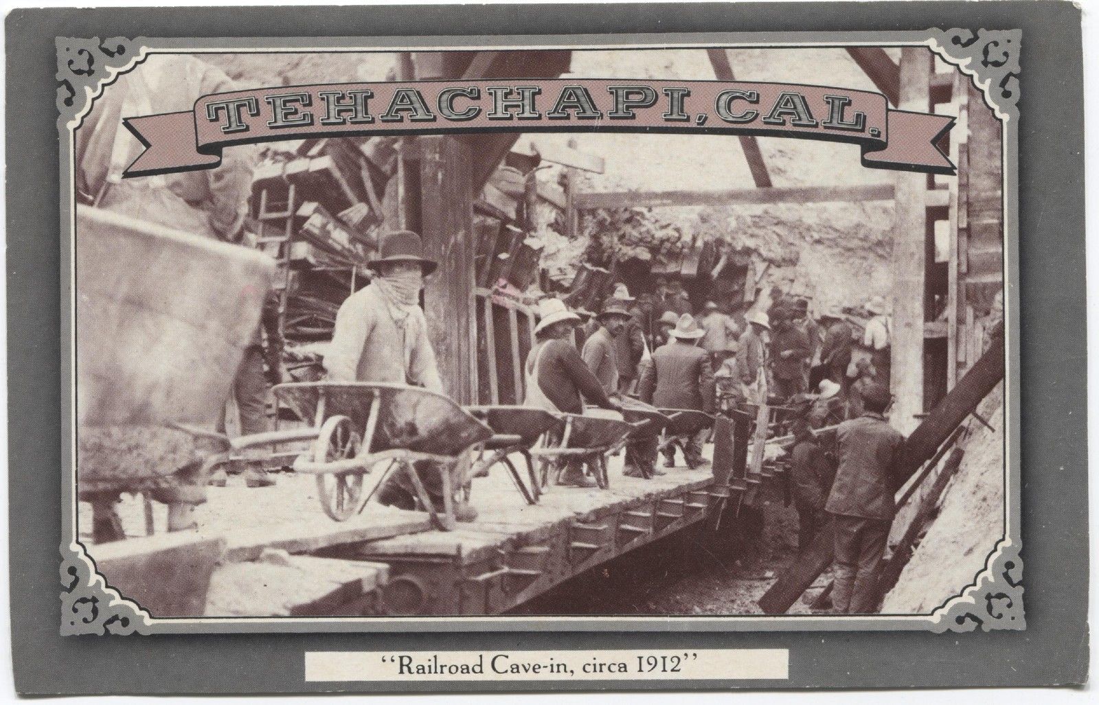
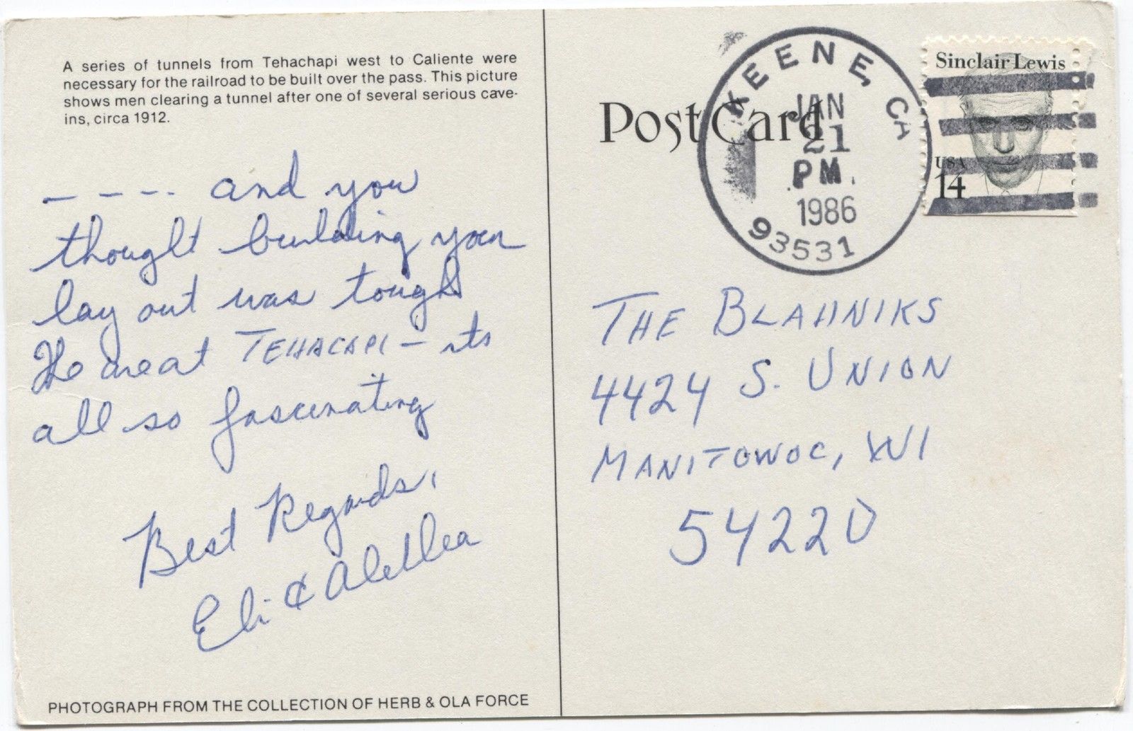
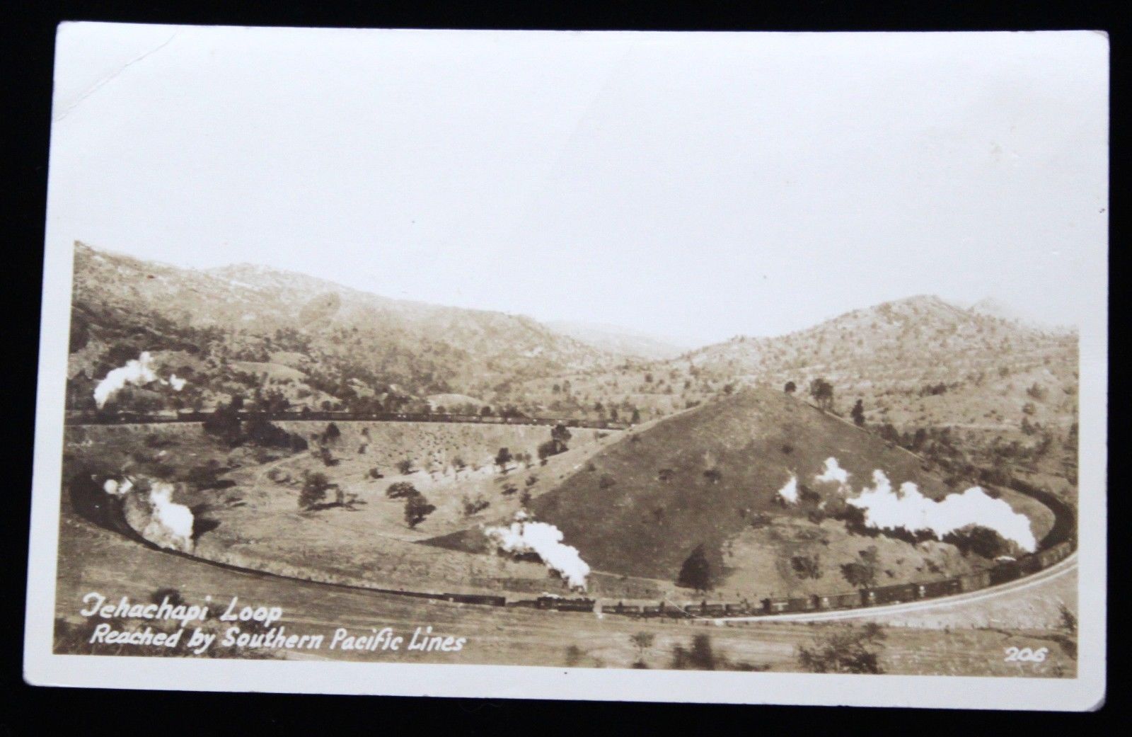
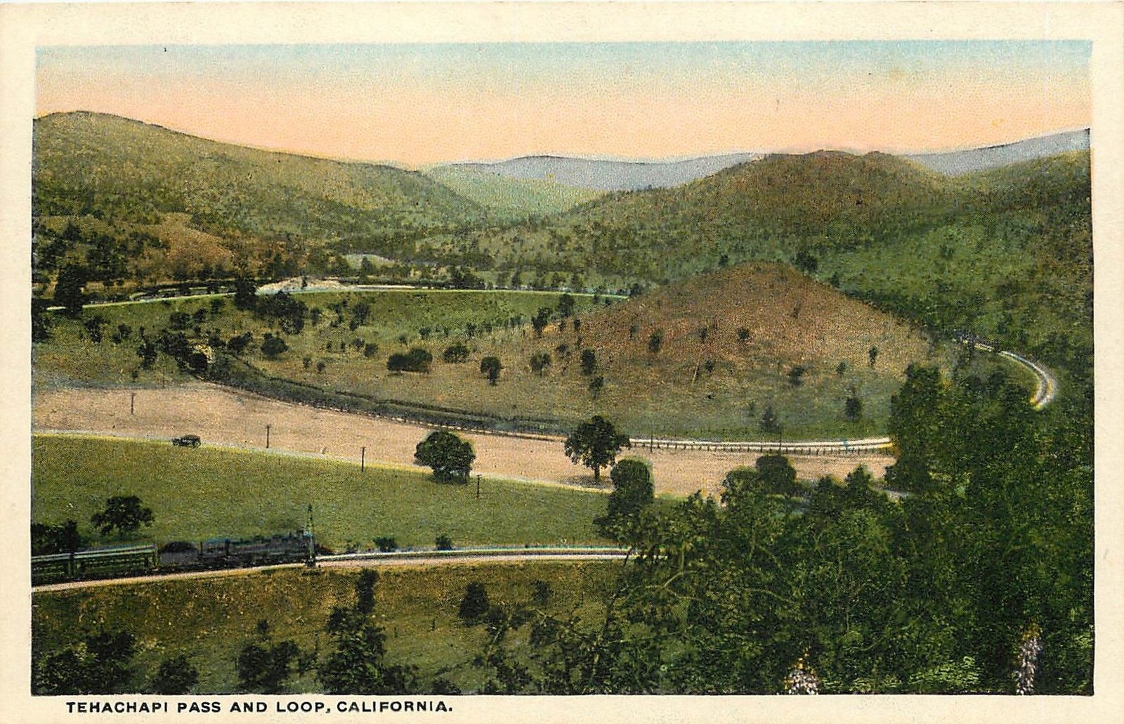
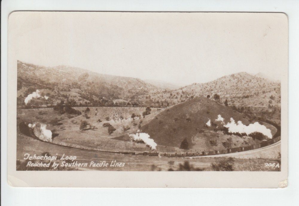
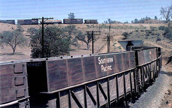
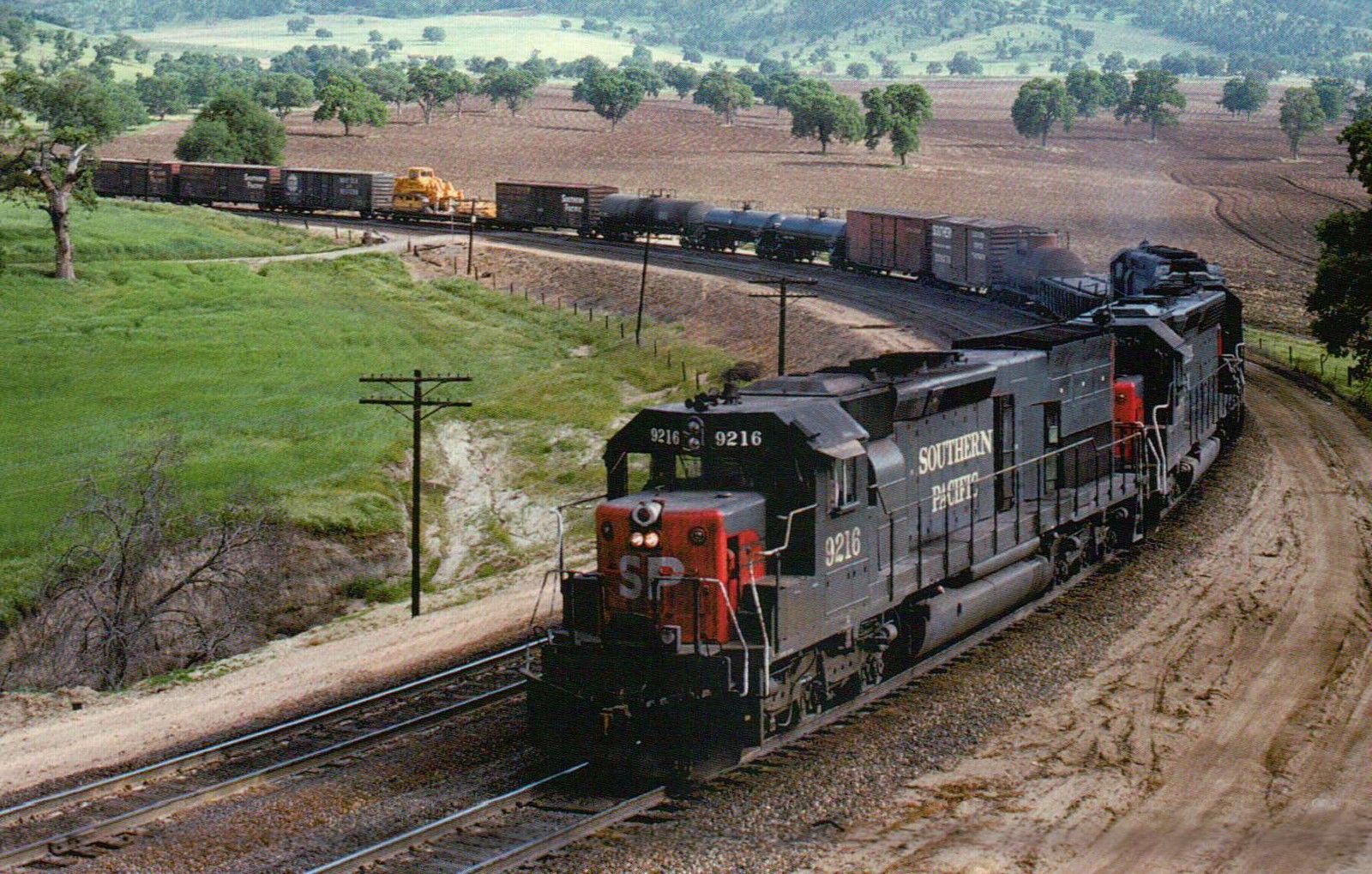
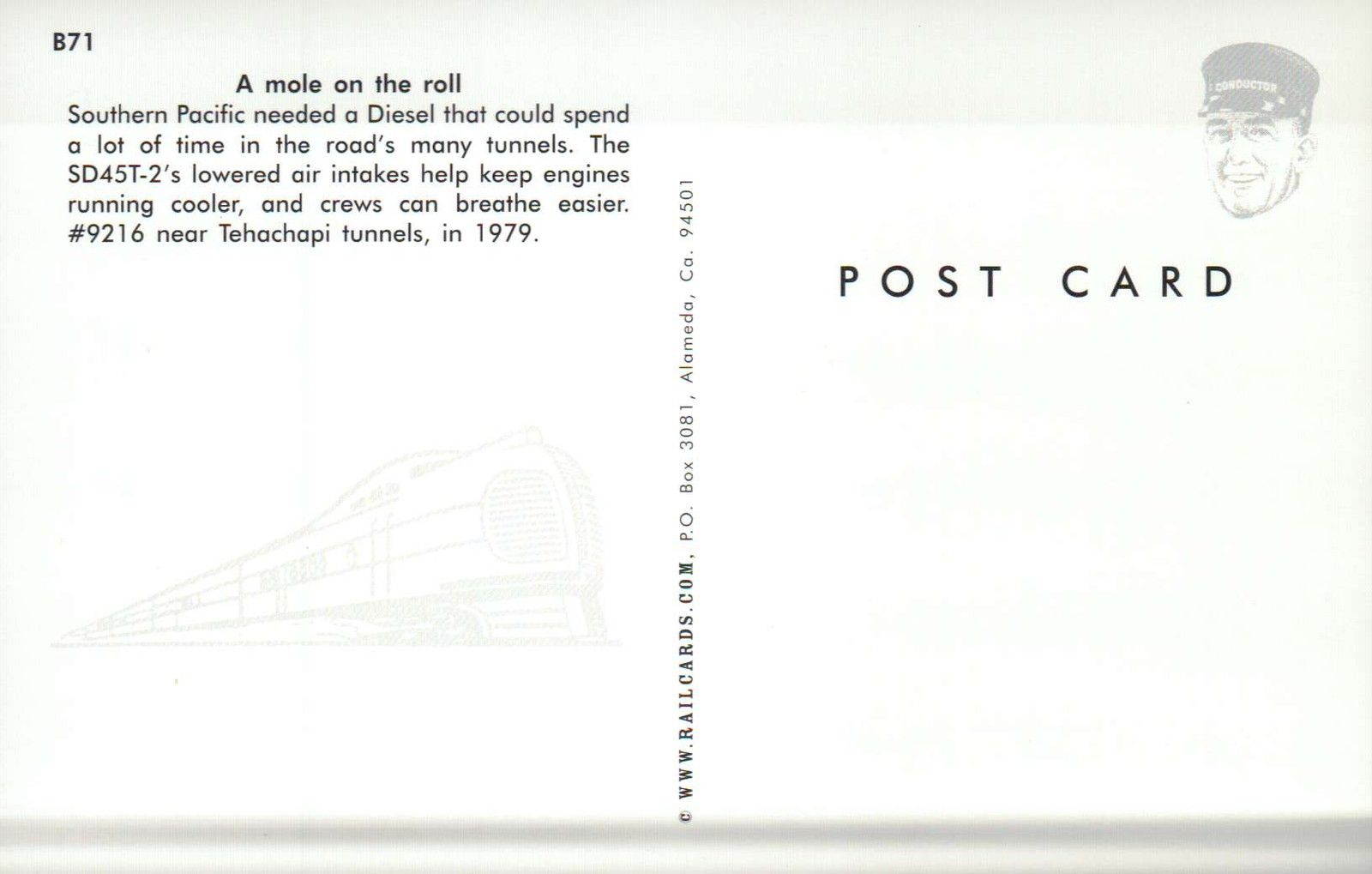
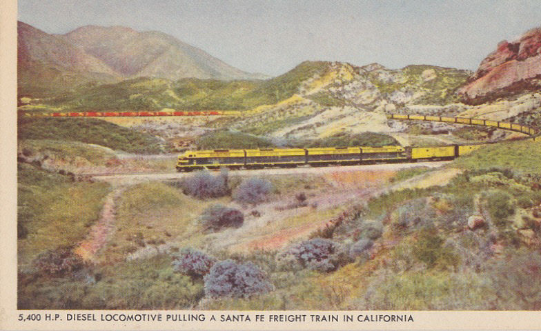
Well, don't get your hopes up, because in the bottom view, it appears that UP has replaced the old searchlights on a cantilever bridge with standard "darth vader" colorlight signals..... Darn!!
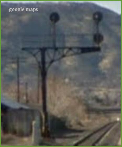
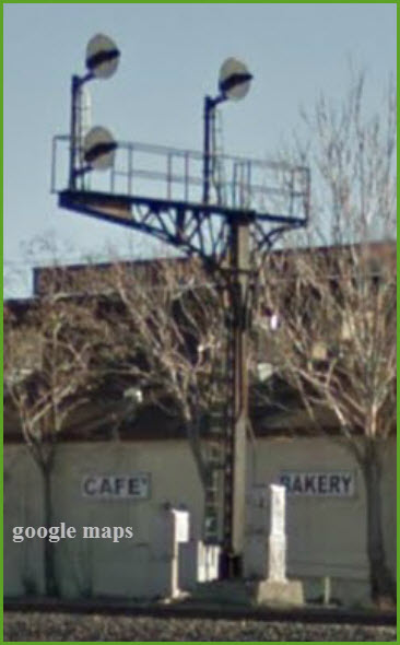
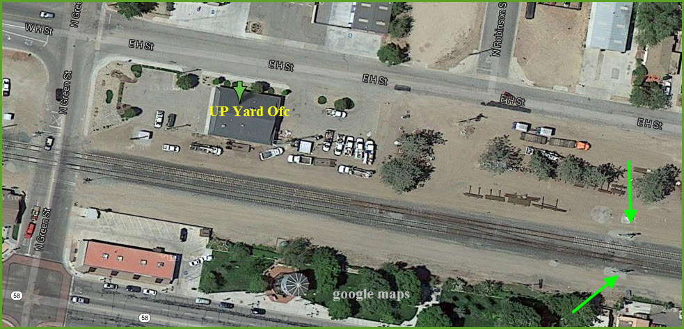
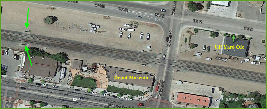
Does anyone have any additional photos of the signals in or around Tehachapi??? If so, please send them in!
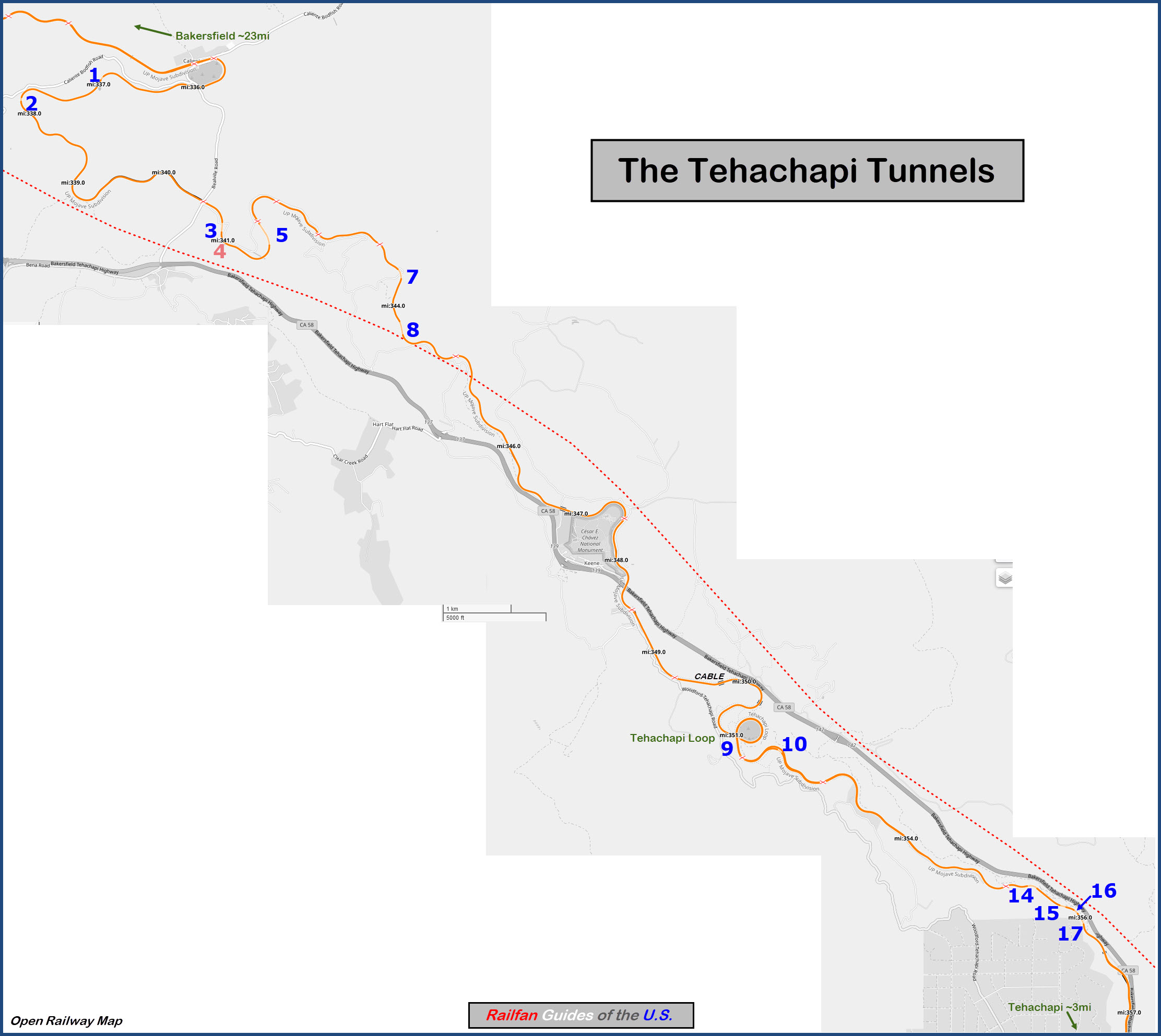
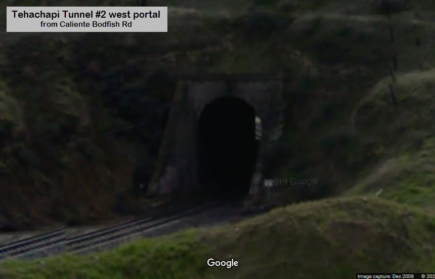
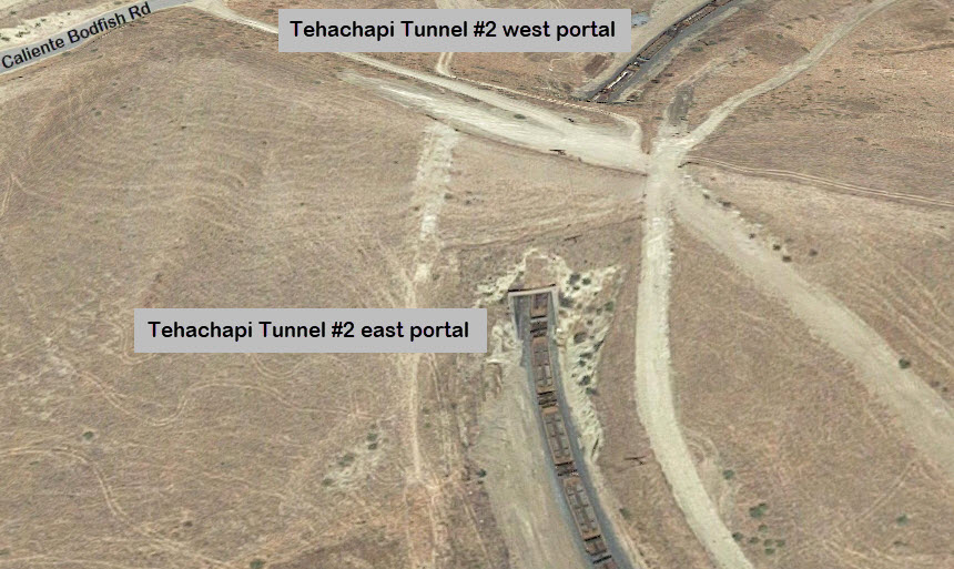
The Tunnels of the Tehachapi area are numbered from the west going east. Tunnel #1 is adjacent to Caliente CA, about 23 miles from Bakersfield.
From the best info I can find, there used to be 18 tunnels when the line was first completed in 1876, there are now 12.
We'll start at the Tehachapi end with tunnel #17.
A good guide to the northern tunnels is here: http://northamericanrails.com/u_p_-_tehachapi_pass/tehachapi_pass_-_bealville_area
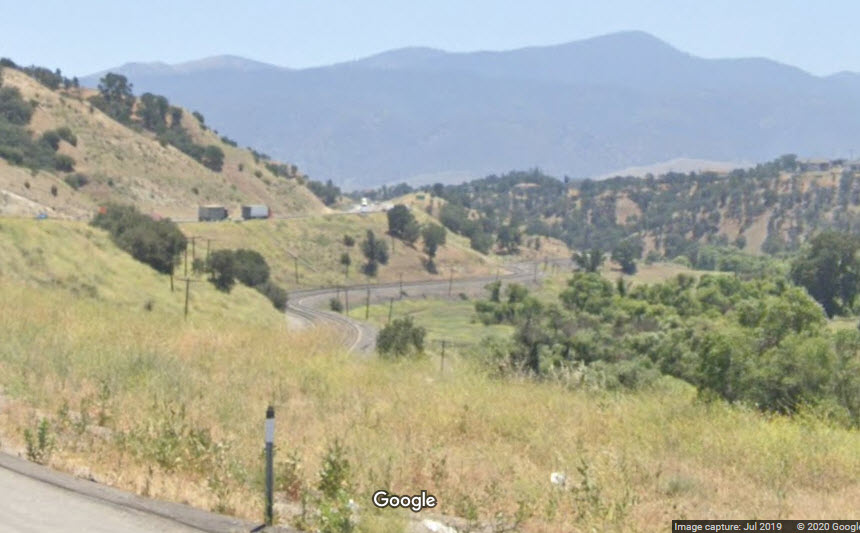
Looking down into Tehachapi, GPS: 35.168629, -118.474167, overlooking the MOW siding.
Using a good telephoto lens from this vantage point will get you some nice shots, in either direction!
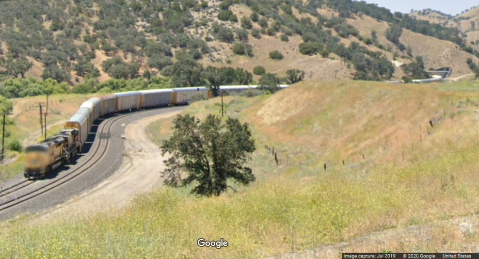
Looking "up" the hill, towards tunnel #17, which you can barely see; Google catches a UP freight on the downgrade.
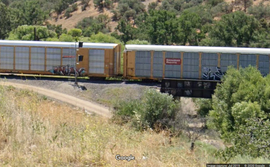 Single track EB interlocking signal
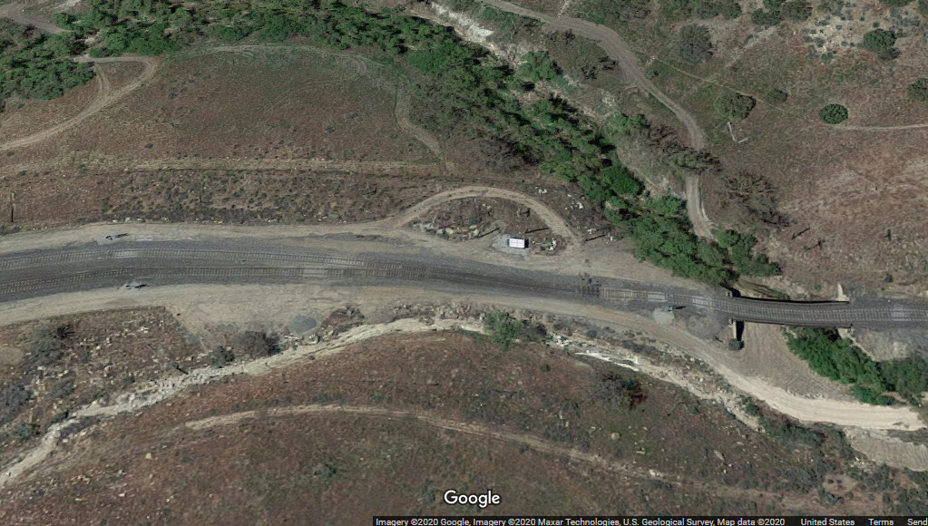
The trek through the tunnels is single tracked, the single track starts here, GPS: 35.170761, -118.477846
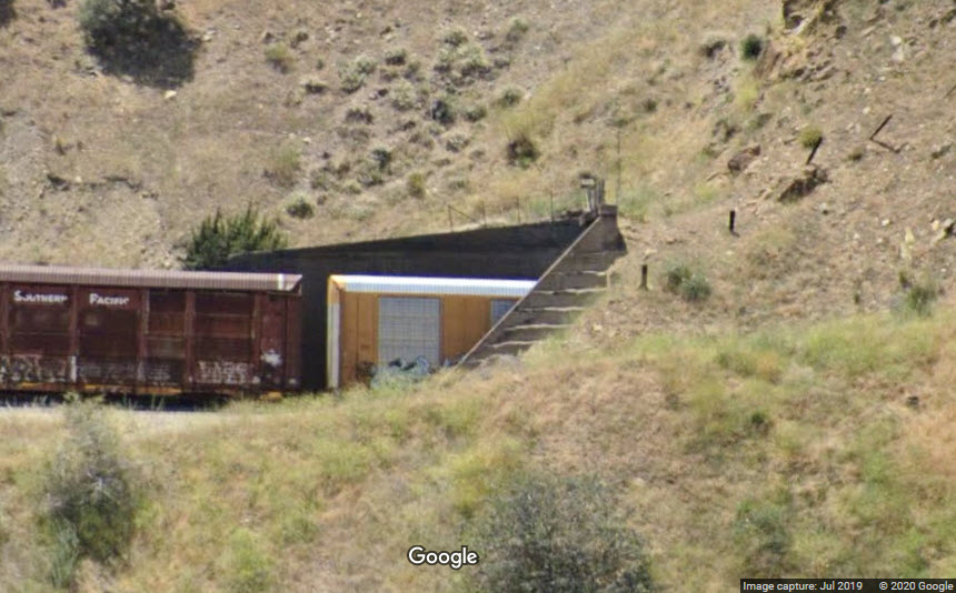 Tunnel #17, eastern portal
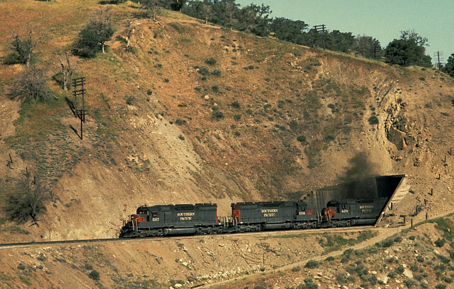
SP engines 5317, 5316, and 8479 roar out of tunnel #17 with train PSSE on May 16, 1973, photo from Carrtracks
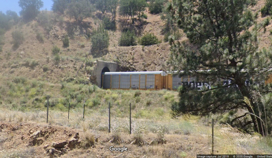 Tunnel #17, western portal
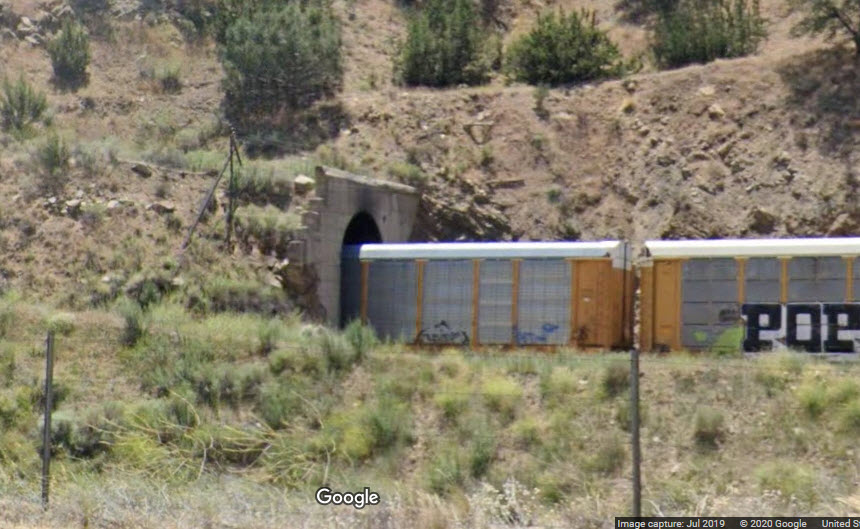 Tunnel #17, western portal
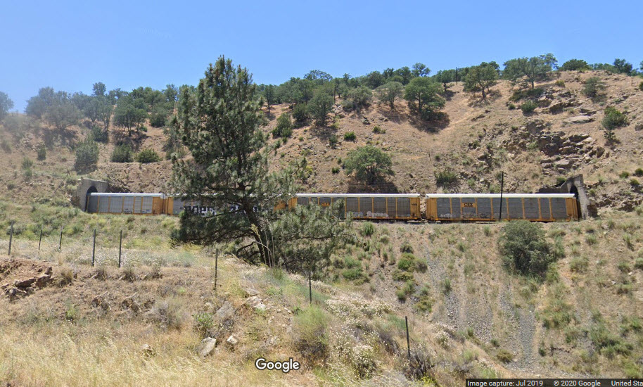 Not much space between tunnels #16 and #17
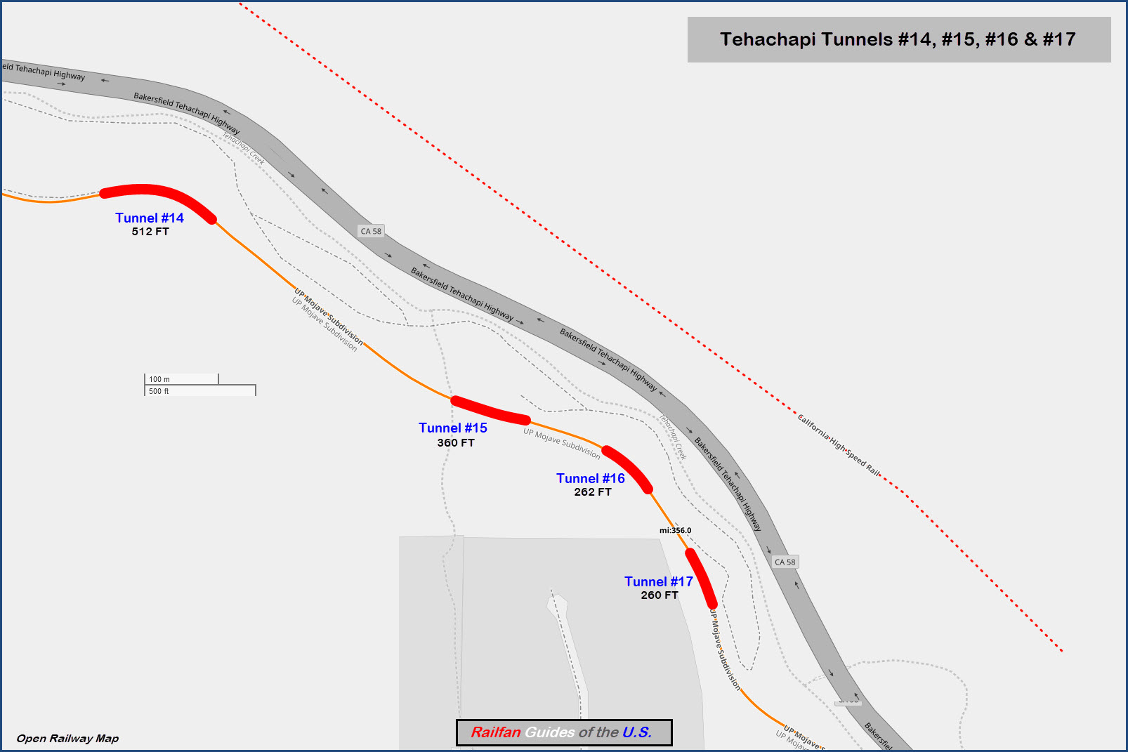
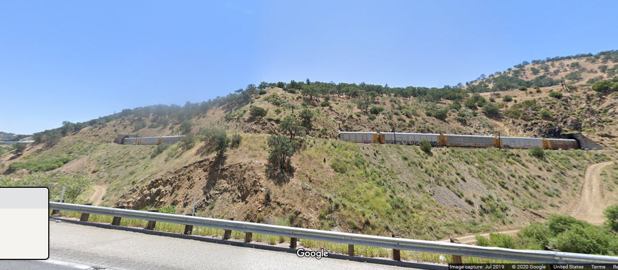 Tunnels #15, #16 and #17
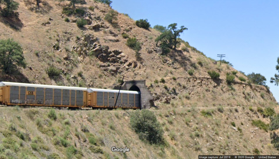 Tunnel #16, eastern portal
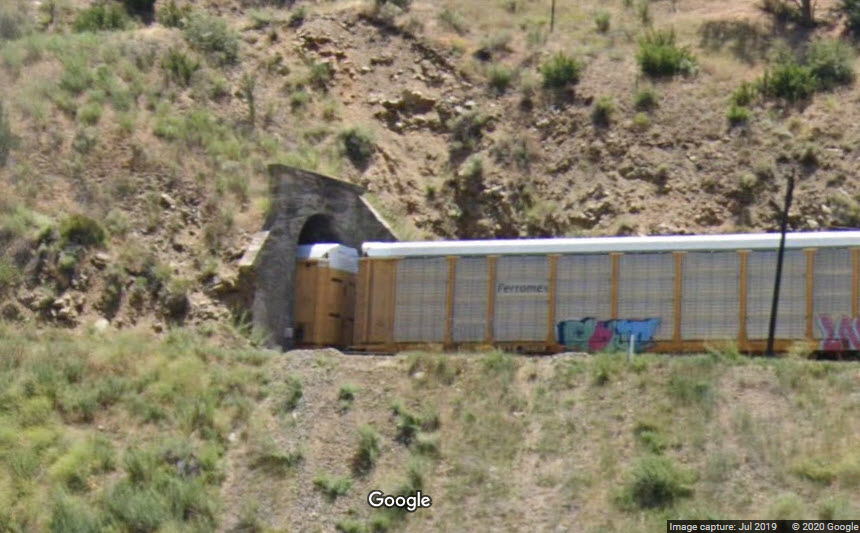 Tunnel #16, western portal
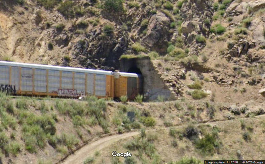 Tunnel #15, eastern portal
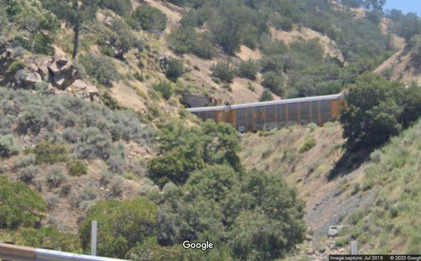 Tunnel #15, western portal
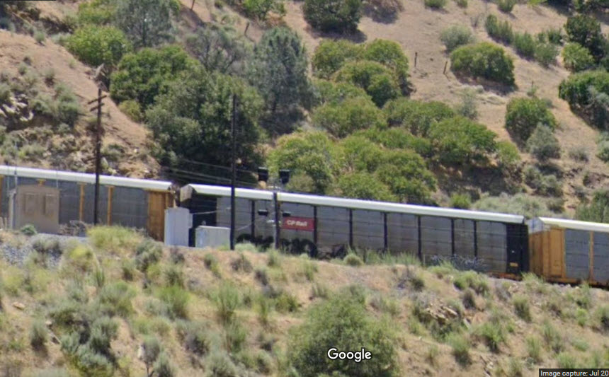
About four autorack lengths from tunnel 14 is a set of intermediate signals.
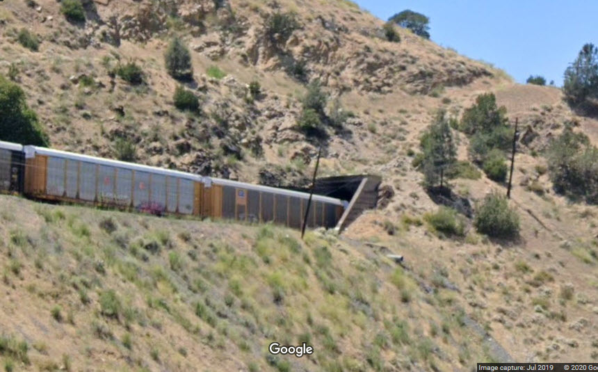 Tunnel #14, eastern portal
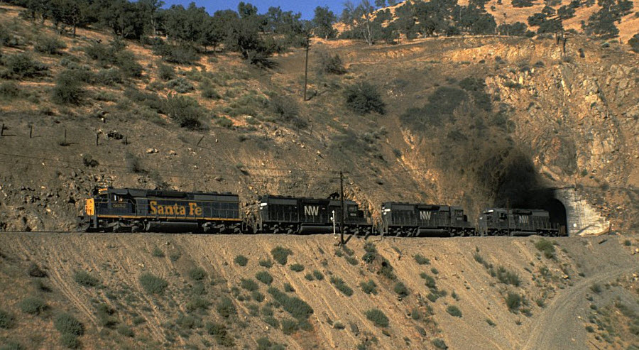
Engines 5652, NW 1636, 6094, and 6432 blast out on Tunnel 14 on July 14, 1979.
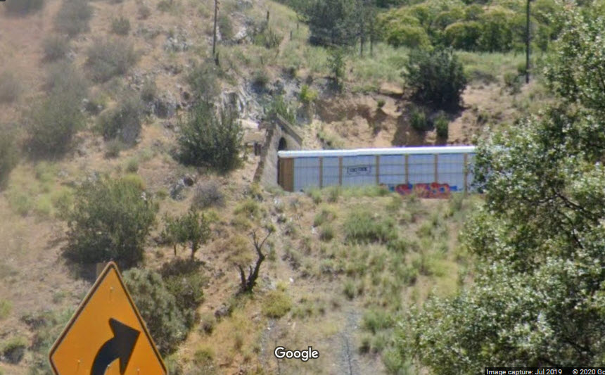
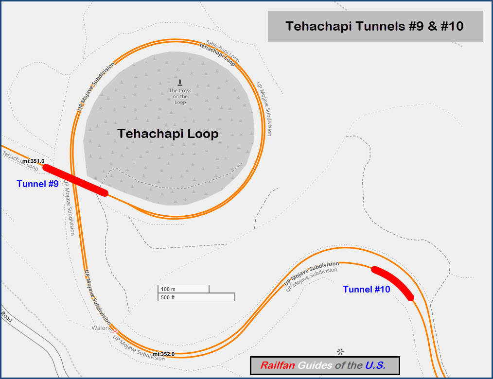
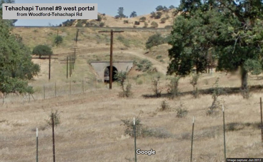
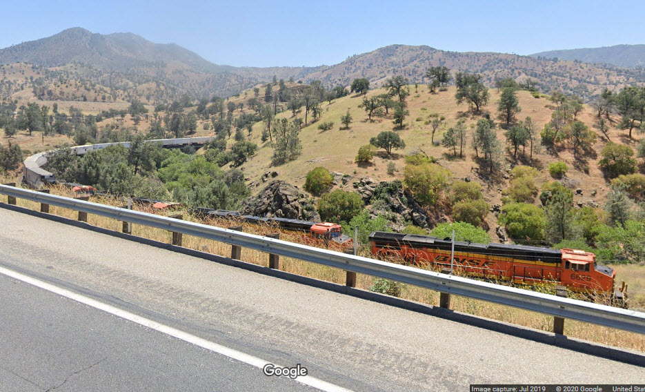
Here, Google has captured a WB BNSF freight after it has gone around the loop, thru tunnel #9, and is now going around a curve next to the Blue Star Memorial Highway. GPS: 35.207201, -118.534858.
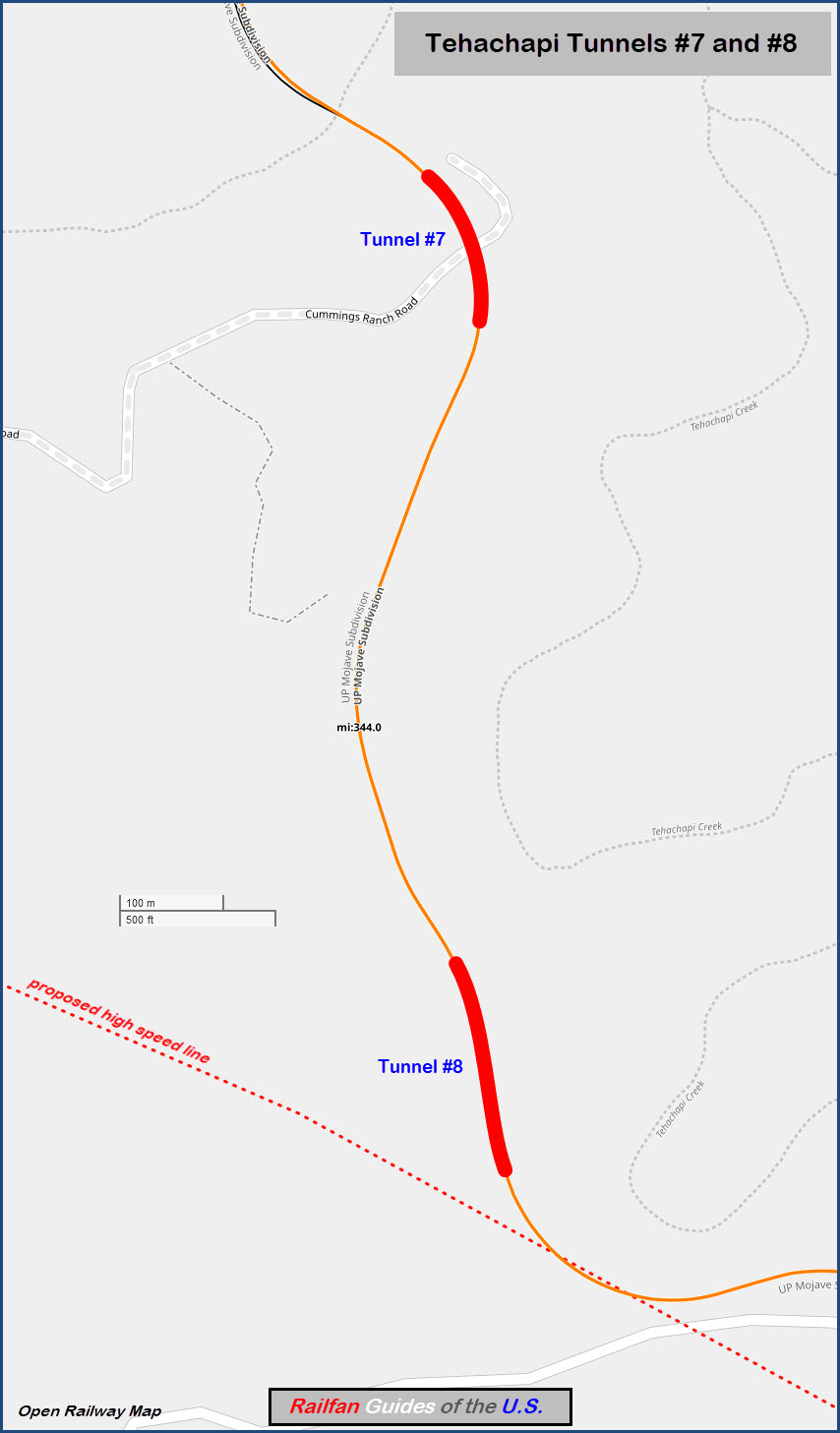
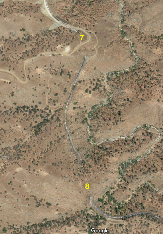
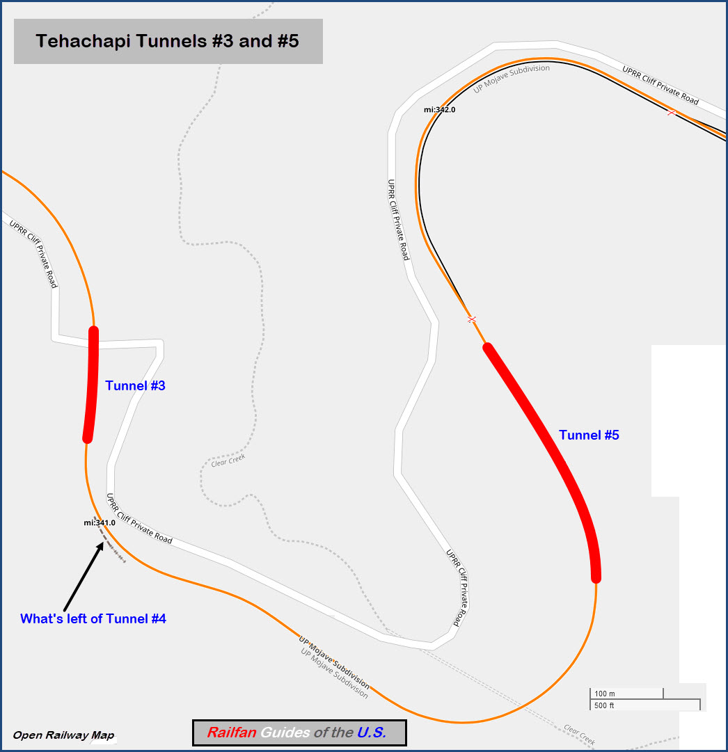
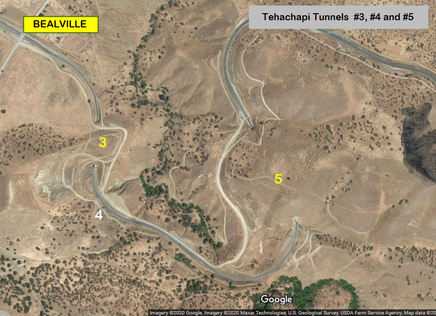
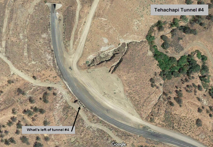
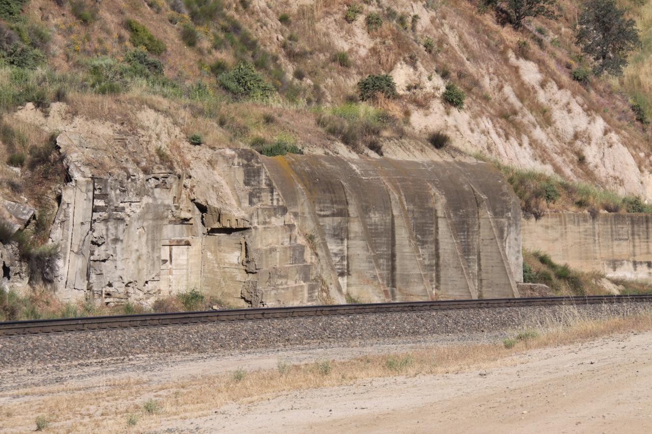 Randy Murphy
After the earthquake in 1952, the railroad removed the part of the mountain that tunnel #4 was in and relocated the track to the outside of the tunnel. They also had to seal up the entrances of the tunnel since they didn't tear it up and move it away.
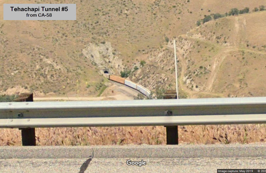
From CA-58, you can get a glance of the western portal of tunnel #5, and again, Google cameras caught a train in action! :-)
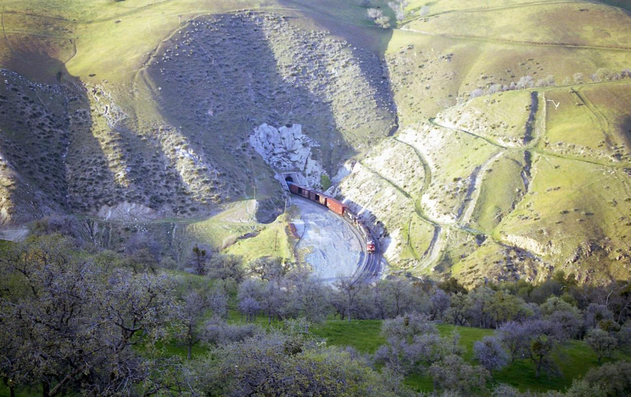 Randy Murphy
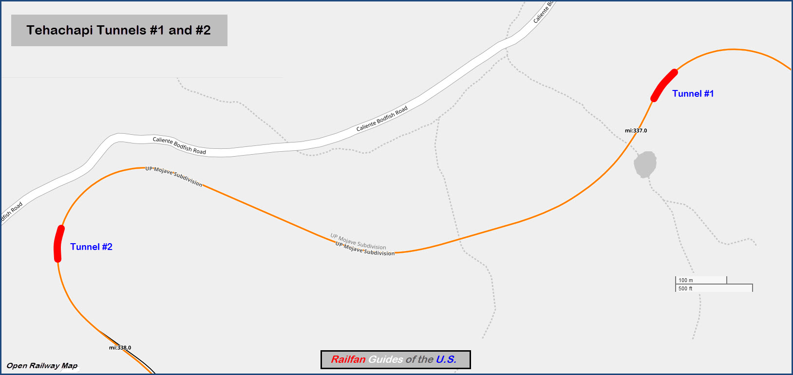
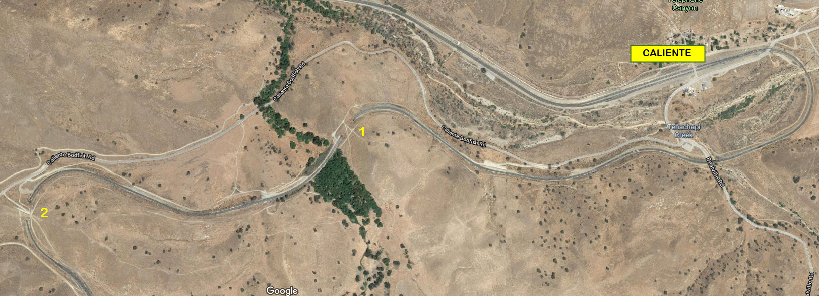
Tehachapi BnB
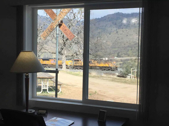
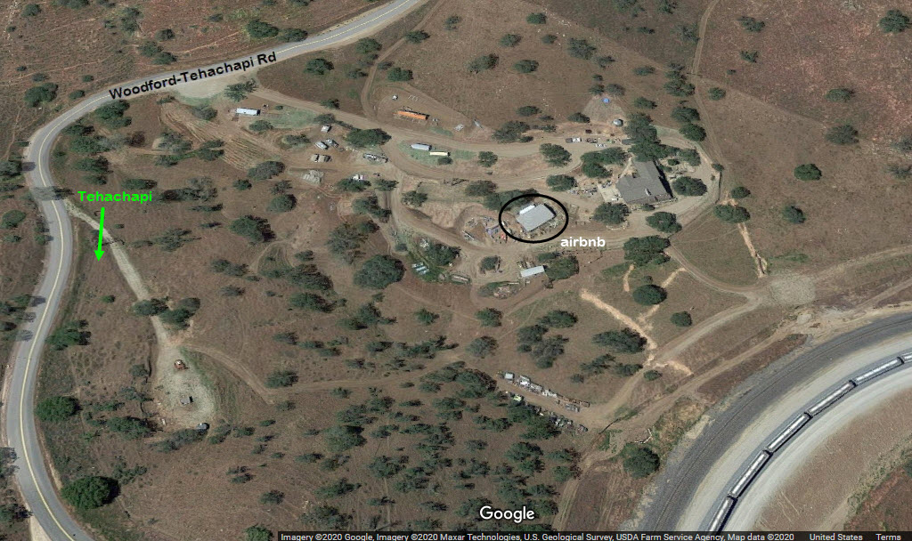
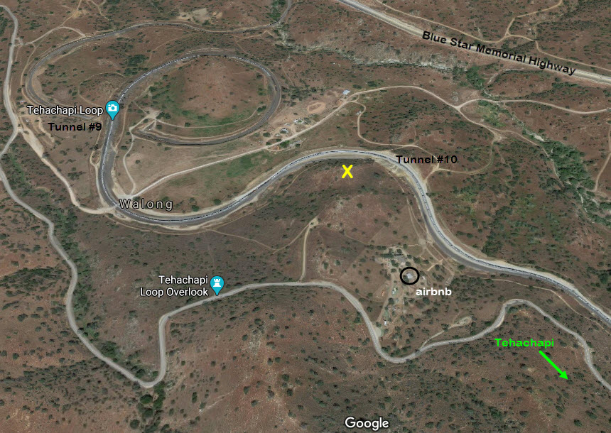
Bed and Breakfast places to stay are all over the place. However, within an easy walk to Tehachapi Loop, and overlooking tunnel #10 is a Bed n Breakfast that is part of the Air BnB system. The guest house is hosted by Kirk. Even better, with about a 1000 foot walk from the cabin to the top of a nearby hill, you have a very commanding view of the entire loop (the yellow "X" on one of the screen grabs below). At 70 bucks a night, it seems like it is one of the best deals going for a railfan to be right next to one of the busiest mainlines in America! Just be prepared not to get much sleeping done! :-)
While you're there, make sure you check out the caboose and the signals they were able to save as a result of the signal upgrade.
https://www.airbnb.com/rooms/38029098?source_impression_id=p3_1580982999_O0wPm%2BR6MOx3SbAo&fbclid=IwAR3Crdp0BOvQ-Z7nkT85qFWYL1joIFRSm-JH_Kfy8LbbB4pZfxOXjt8plvU&guests=1&adults=1
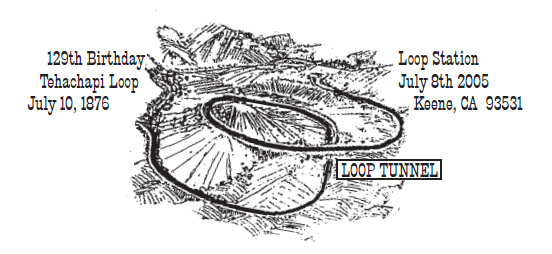
Pictorial cancellation from the Keene Post Office celebrating the Loop's 129th anniversary. From Wikipedia.
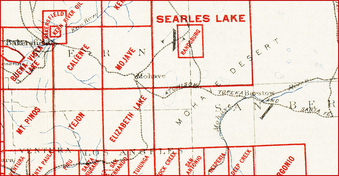
Well, this is the best I can find from ~100 years ago. I guess there just wasn't that much out there back around 1900 to map.
This is from the California index map from 1926, and comes from: http://www.lib.utexas.edu/maps/topo/topo_us.html
Disclaimers:
I love trains, and I love signals. I am not an expert. My webpages reflect what I find on the topic of the page. This is something I have fun with while trying to help others.
Please Note: Since the main focus of my two websites is railroad signals, the railfan guides are oriented towards the signal fan being able to locate them. For those of you into the modeling aspect of our hobby, my indexa page has a list of almost everything railroad oriented I can think of to provide you with at least a few pictures to help you detail your pike.
If this is a railfan page, every effort has been made to make sure that the information contained on this map and in this railfan guide is correct. Once in a while, an error may creep in :-)
My philosophy: Pictures and maps are worth a thousand words, especially for railfanning. Text descriptions only get you so far, especially if you get lost or disoriented. Take along good maps.... a GPS is OK to get somewhere, but maps are still better if you get lost! I belong to AAA, which allows you to get local maps for free when you visit the local branches. ADC puts out a nice series of county maps for the Washington DC area, but their state maps do not have the railroads on them. If you can find em, I like the National Geographic map book of the U.S..... good, clear, and concise graphics, and they do a really good job of showing you where tourist type attractions are, although they too lack the railroads. Other notes about specific areas will show up on that page if known.
Aerial shots were taken from either Google or Bing Maps as noted. Screen captures are made with Snagit, a Techsmith product... a great tool if you have never used it!
By the way, floobydust is a term I picked up 30-40 years ago from a National Semiconductor data book, and means miscellaneous and/or other stuff.
Pictures and additional information is always needed if anyone feels inclined to take 'em, send 'em, and share 'em, or if you have something to add or correct.... credit is always given! Please be NICE!!! Contact info is here
Beware: If used as a source, ANYTHING from Wikipedia must be treated as being possibly inaccurate, wrong, or not true.
RAILFAN GUIDES HOME
RAILROAD SIGNALS HOME
NEW 02/08/2014, AUG14/2016, DEC27/2020, MAY08/2021
Last Modified 08-May-2021