In General
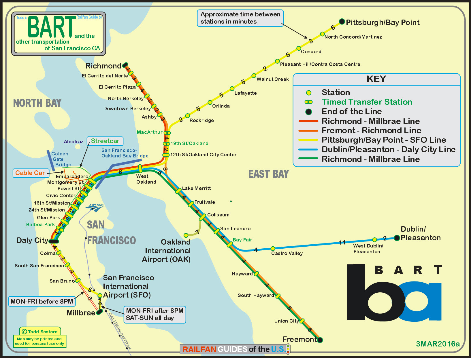
Map
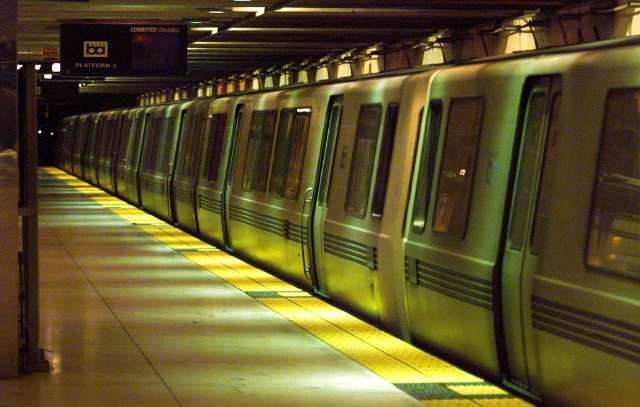
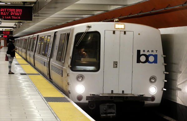
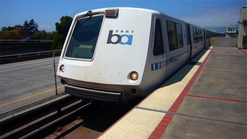
Pictures
Signals
Floobydust
History
RAILROAD SIGNALS HOME
Location / Name:
San Francisco CA
What's Here:
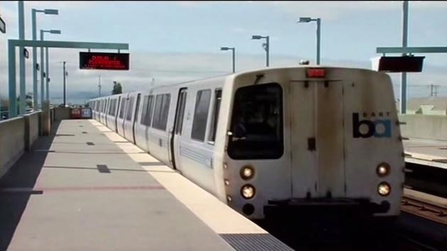
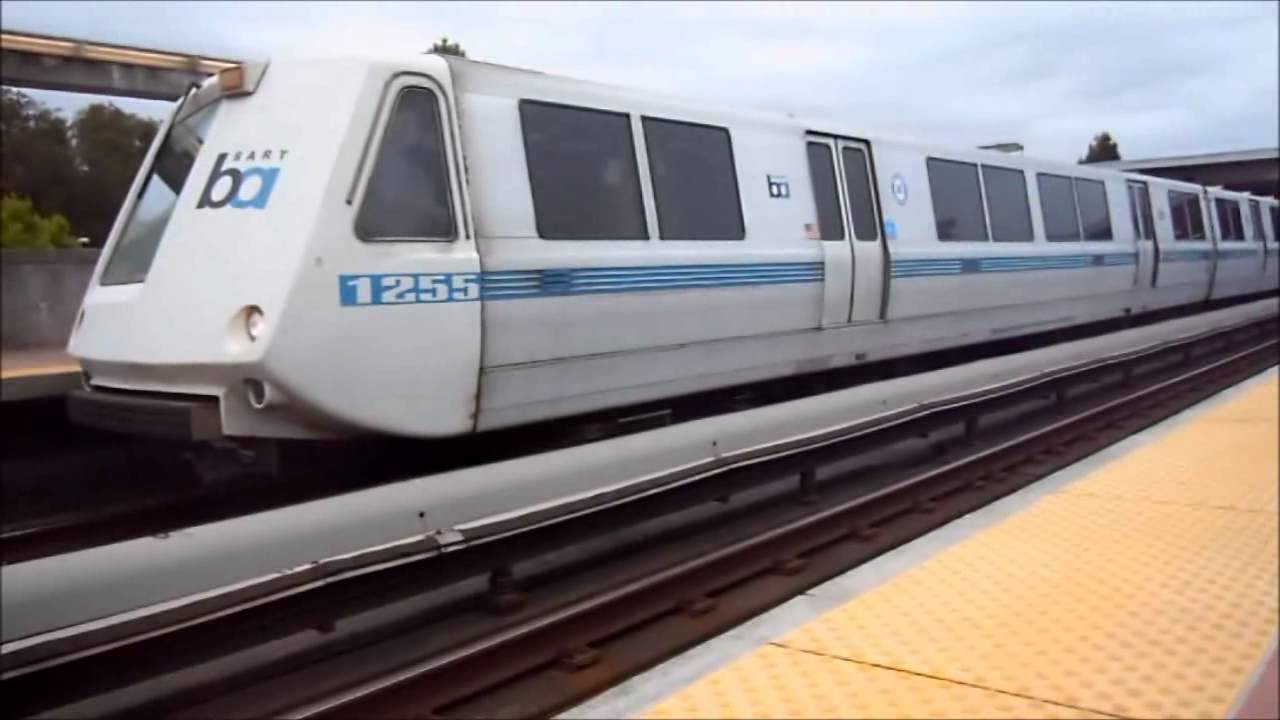
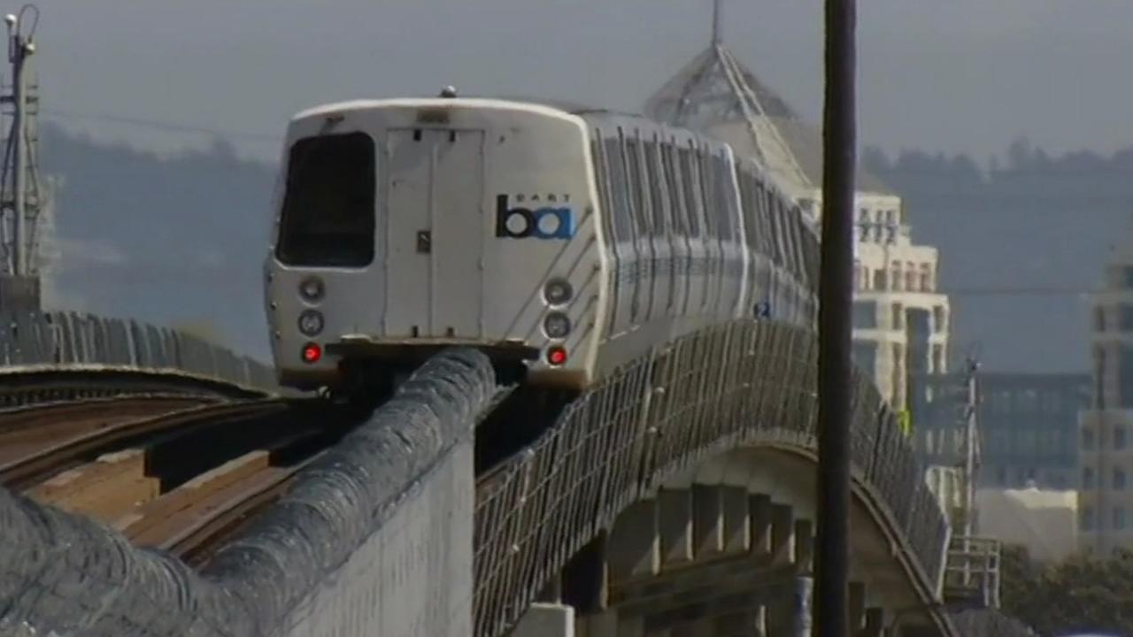
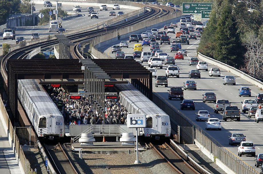
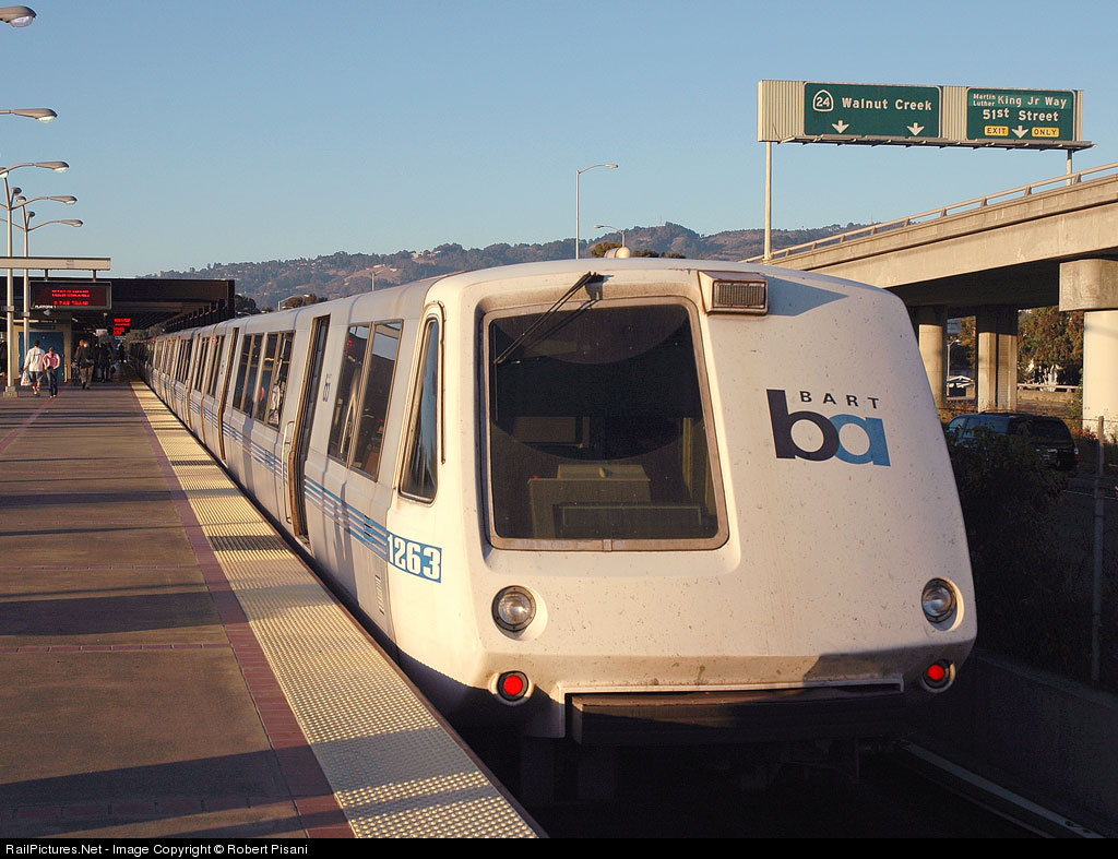
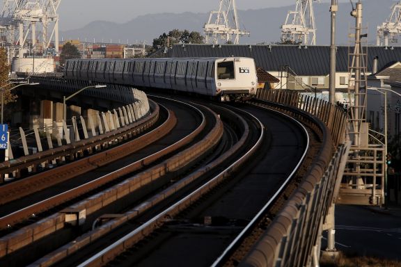
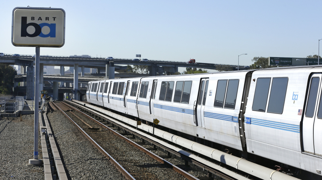
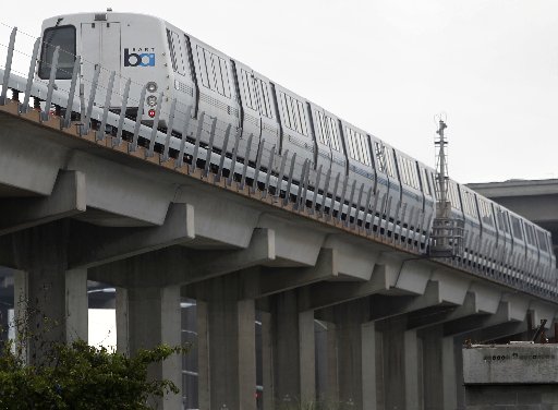
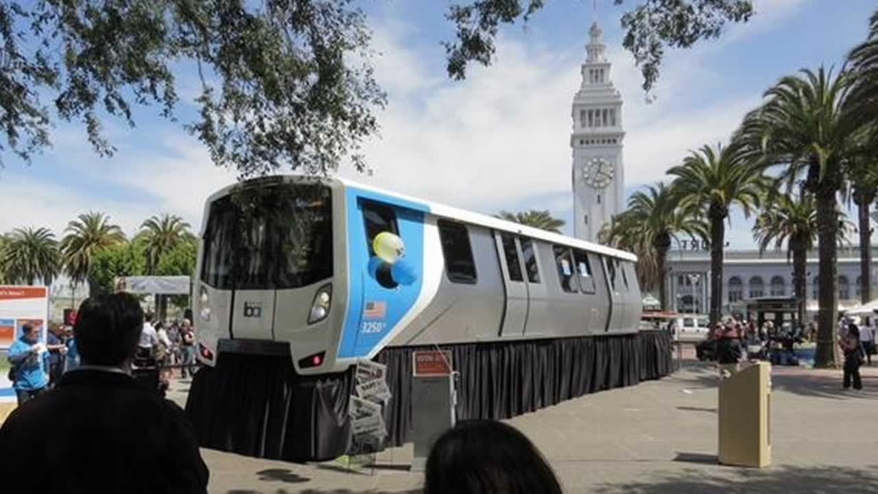
BART - Bay Area Rapid Transit, one of San Francisco's many rail travel options!
Data:
GPS Coordinates: As needed
Access by train/transit:
Richmond Station - Capitol Corridor Amtrak Service
Oakland Coliseum Station - Capitol Corridor Amtrak Service
12th St/Oakland City Center Station - Capitol Corridor Amtrak Service at Jack London Square via the Broadway Shuttle Buss (14 blocks) and 2 blocks walking
19th St/Oakland - Broadway Shuttle Bus & Capitol Corridor Amtrak Service at Jack London Square (21 block ride)
SFO/San Francisco International Airport (Station)
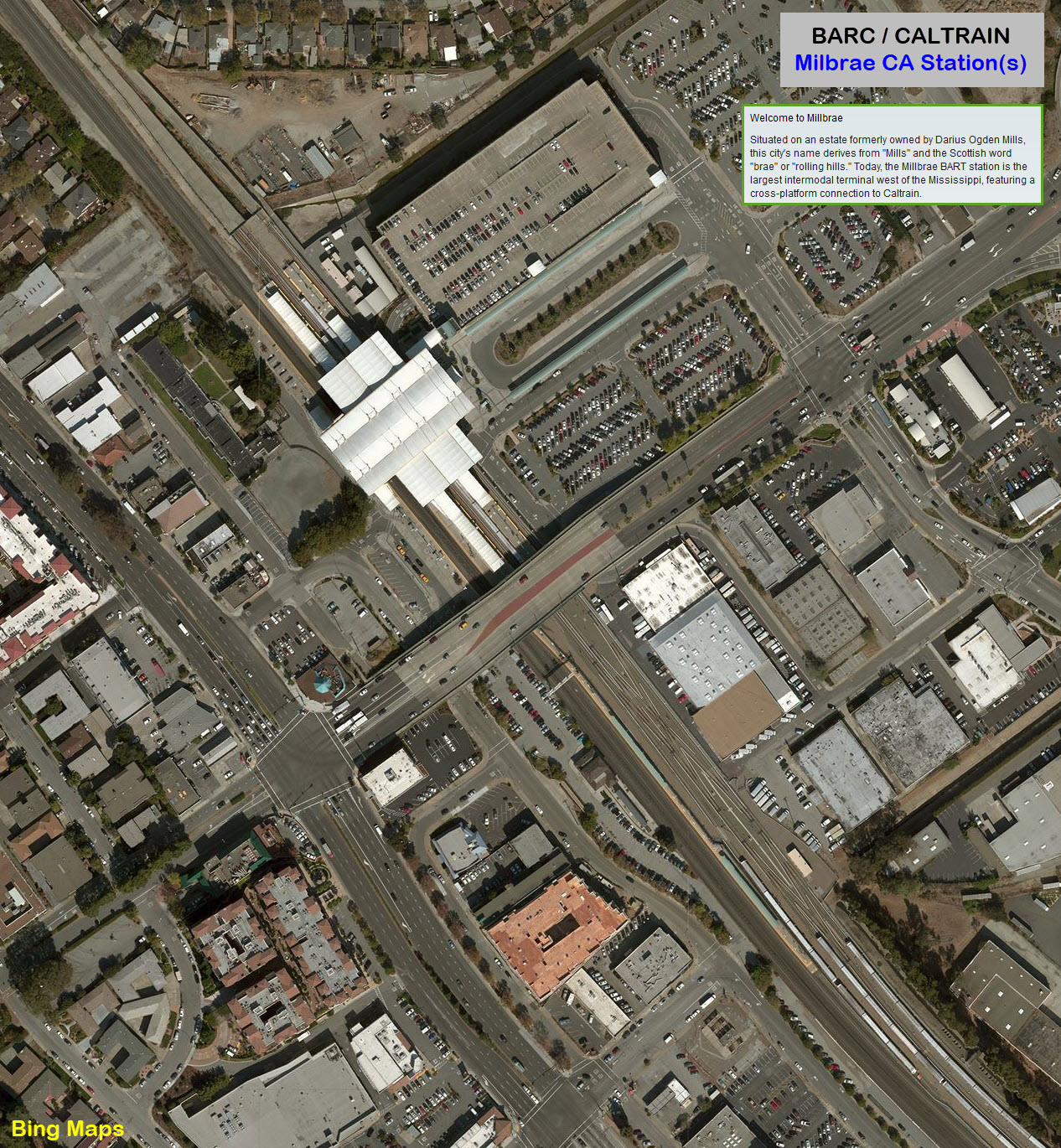
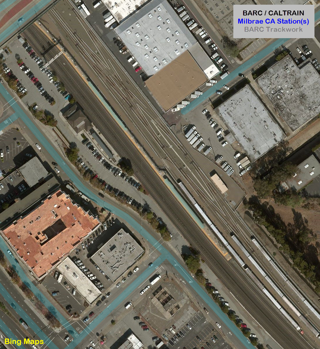
Millbrae Station - Caltrain Commuter Service (near SFO Airport)
Bus Service at every station
The Scoop:
San Francisco is a very lucky area when it comes to rail transit. Back in the 60's, when the gas companies and the tire and bus manufacturers were all helping to kill off the streetcar systems in America, San Francisco resisted. That puts it in a unique position, along with Boston, Philadelphia, and to a lesser extent, New York and Chicago, of cities that fought back at the obliteration of rail transit. It's funny, and a shame, that 50-60 years later, towns large and small are making an attempt to put rail systems in place once again - this time at a huge cost to you and me, the taxpayer (most systems were originally built privately and didn't depend on federal or state money).
From Wikipedia: BART revenue routes cover 104 miles (167km) with 44 stations. Trains run on exclusive right-of-way, in subways or elevated. The system uses a 5ft-6in (1,676mm) Indian gauge and mostly ballastless track instead of the 4ft-8 1/2in (1,435mm) standard gauge and railroad ties used on United States railroads. As a result, all maintenance and support equipment must be custom built.
The maximum speed trains can travel is 80 miles per hour (130km/h), but BART does not typically operate trains at that speed except to help a train make up time. The maximum speed BART uses during normal operations is 70mph.
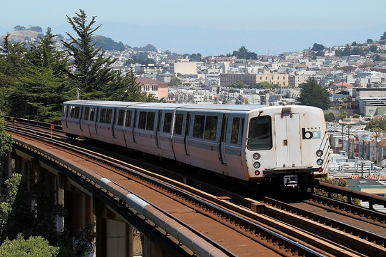
Trains length ranges from four cars to a maximum of ten cars, which fills the 700 feet (213 m) length of a platform. At its maximum length of 710 feet (216 m), BART has the longest trains of any metro system in the United States. The system also features car widths of 10.5 feet (3.2 m) (the same width as a Budd Metroliner), a maximum gradient of four percent, and a minimum curve radius of 394 feet (120 m) on the main lines.
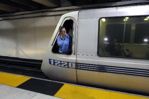
The system runs on a 1,000VDC electrical supply, delivered to the trains by way of a third rail. In stations the third rail is on the side away from the passenger platform, except the middle platform at the San Francisco International Airport station. This reduces the danger of a passenger falling on the third rail or stepping on it to climb back to the platform after falling off. On ground-level tracks, the third rail alternates from one side of the track to the other, providing breaks in the third rail to allow for emergency evacuations. Underground tunnels, aerial structures and the Transbay Tube have evacuation walkways and passageways to allow for train evacuation without exposing passengers to contact with the third rail, which is located as far away from these walkways as possible.
Many of the original system 1970s-era BART stations, especially the aerial stations, feature simple, Brutalist architecture, while the newer stations are a mix of Neomodern and Postmodern architecture.
Expansion: Construction of eBART in Pittsburg and Antioch is underway as of 2016. The extension to Silicon Valley is under construction in Warm Springs, Milpitas and Berryessa.
At least for now, a station by station section (like many of my other guides) would go on forever, so I have no plans to work on or include it.
Websites and other additional information sources of interest for the area:
https://www.bart.gov/
https://en.wikipedia.org/wiki/Bay_Area_Rapid_Transit
None for now..... :-( Anyone got anything to contribute???
Disclaimers: I love trains, and I love signals. I am not an
expert. My webpages reflect what I find on the topic of the page.
This is something I have fun with while trying to help others. Please Note:
Since the main focus of my two websites is railroad signals, the railfan guides
are oriented towards the signal fan being able to locate them. For those
of you into the modeling aspect of our hobby, my
indexa page has a list of
almost everything railroad oriented I can think of to provide you with at least a few pictures to
help you detail your pike. If this is a railfan page, every effort has been made
to make sure that the information contained on this map and in this railfan
guide is correct. Once in a while, an error may creep in :-)
My philosophy: Pictures and maps are worth a
thousand words, especially for railfanning. Text descriptions only
get you so far, especially if you get lost or disoriented. Take
along good maps.... a GPS is OK to get somewhere, but maps are still
better if you get lost! I belong to AAA, which allows you to get
local maps for free when you visit the local branches. ADC puts
out a nice series of county maps for the Washington DC area, but their
state maps do not have the railroads on them. If you can find em,
I like the National Geographic map book of the U.S..... good, clear, and
concise graphics, and they do a really good job of showing you where
tourist type attractions are, although they too lack the railroads.
Other notes about specific areas will show up on that page if known. Beware: If used as a source, ANYTHING from Wikipedia must be treated as
being possibly being inaccurate, wrong, or not true.
RAILFAN GUIDES HOME
NEW 03/04/2016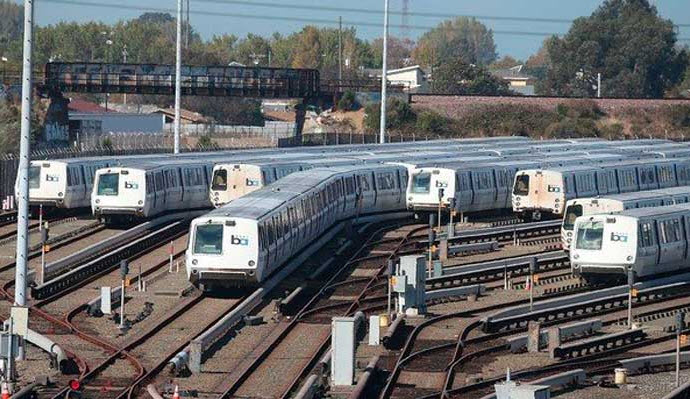
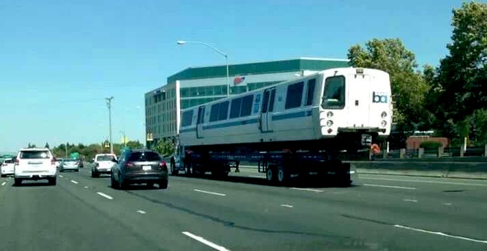

 sorry... couldn't resist :-)
According to the BARC website, the Milbrae Transportation Center is the largest one west of the Mississippi.
From Wikipedia: Some of the Bay Area Rapid Transit System's current coverage area was once served by an electrified streetcar and suburban train system called the Key System. This early 20th-century system once had
regular trans-bay traffic across the lower deck of the Bay Bridge. By the mid-1950s, that system had been dismantled in favor of highway travel. A new rapid-transit system was proposed to take the place of the Key System during
the late 1940s, and formal planning for it began in the 1950s. Some funding was secured for the BART system in 1959, and construction began a few years later. Passenger service began on September 11, 1972, initially just
between MacArthur and Fremont.
The new BART system was hailed as a major step forward in subway technology, although questions were asked concerning the safety of the system and the huge
expenditures necessary for the construction of the network. All nine Bay Area counties were involved in the planning and envisioned to be connected by BART.
In addition to San Francisco, Alameda, and Contra Costa Counties, Santa Clara County, San Mateo County, and Marin County were initially intended to be part of the system. Santa Clara County Supervisors opted out in 1957, preferring
instead to build expressways. In 1961, San Mateo County supervisors voted to leave BART, saying their voters would be paying taxes to carry mainly Santa Clara County residents. Although Marin County originally voted in favor of
BART participation at the 88% level, the district-wide tax base was weakened by the withdrawal of San Mateo County. Marin County withdrew in early 1962 because its marginal tax base could not adequately absorb its share of BART's
projected cost. Another important factor in Marin's withdrawal was an engineering controversy over the feasibility of running trains across the Golden Gate Bridge.
The extension of BART into Marin was forecast as late as three decades after the 1972 start. Initially, a lower level under the Golden Gate Bridge was preferred. In 1970, the Golden Gate Transportation Facilities Plan considered a
tunnel under the Golden Gate or a new bridge parallel to the Richmond-San Rafael Bridge but neither of these plans was pursued.
Extensions were completed to Colma and Pittsburg/Bay Point in 1996, Dublin/Pleasanton in 1997, SFO/Milbrae in 2003, and the automated guideway transit spur line that connects BART to Oakland International Airport in 2014.
Modernization (from Wikipedia): Since the mid-1990s, BART has been trying to modernize its system. The fleet rehabilitation is part of this modernization; in 2009, fire alarms, fire
sprinklers, yellow tactile platform edge domes, and cemented-mat rubber tiles were installed. The rough black tiles on the platform edge mark the location of the doorway of approaching trains, allowing passengers to wait at the right
place to board. All faregates and ticket vending machines were replaced.
In 2007, BART stated its intention to improve non-peak (night and weekend) headways for each line to 15 minutes. The current 20-minute headways at these
times is viewed as a psychological barrier to ridership. In mid-2007, BART temporarily reversed its position stating that the shortened wait times would likely not happen due to a $900,000 state revenue budget shortfall.
Nevertheless, BART eventually confirmed the implementation of the plan by January 2008. Continued budgetary problems halted the expanded non-peak service and returned off-peak headways to 20 minutes in 2009.
In 2008 BART announced that it would install solar power systems on the roofs of two yards and maintenance facilities in addition to car ports with rooftop solar panels at the Orinda station. The board lamented not being able to install
them at all stations but it stated that Orinda was the only station with enough sun for them to make money from the project.
In 2012 The California Transportation Commission announced they would provide
funding for expanding BART facilities, through the Santa Clara Valley Transportation Authority, in anticipation of the opening of the Silicon Valley Berryessa Extension. $50 million would go in part to improvements to the Hayward
Maintenance Complex.
Aerial shots were taken from either Google or Bing Maps as noted. Screen captures are made with Snagit.... a great tool if you have never used it!
By the way, floobydust is
a term I picked up 30-40 years ago from a National Semiconductor data
book, and means miscellaneous and/or other stuff.
Pictures and additional information is always needed if anyone feels
inclined to take 'em, send 'em, and share 'em, or if you have
something to add or correct.... credit is always given! BE NICE!!! Contact info
is here
RAILROAD SIGNALS HOME
Last Modified
16-May-2018