In General
Getting Here
Map
Station by Station
Pictures
Signals
Infrastructure
Floobydust
RAILROAD SIGNALS HOME
Location / Name:
Tucson AZ
What's Here:
the Sunlink Streetcar System
Amtrak
Southern Arizona Transportation Museum
Data:
GPS Coordinates: as needed
Phone A/C: 520
ZIP: 85701

Access by train/transit:
Amtrak via the Plaza Centro Station
The Scoop:
Sun Link's 3.9 mile route connects you to five of Tucson's most unique districts: the University of Arizona, Fourth Avenue, Main Gate Square, Downtown Tucson, and the Mercado District in central Tucson. The four-mile route has 18 stops adorned with public art and located within walking distance of more than 11,000 parking spaces. This project is part of Tucson’s regional plan for a multi-modal transportation system that offers bike lanes and paths, new sidewalks and greenways, and added transit service. More than 100,000 people live and work within a block of the Tucson Streetcar line.
Cash is not accepted on the streetcar. One-way full fare is $1.50. One-way economy fare is $.50. Children 5 years old and younger ride for free with a paying adult.
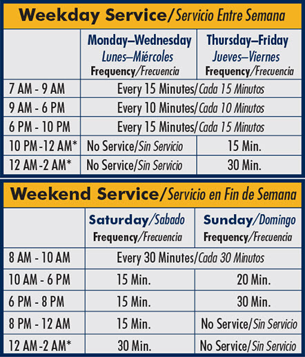
Hours of Operation:
Monday - Wednesday: 7 am - 6 pm every 10 minutes; 6 pm - 10 pm* every 20 minutes.
Thursday - Friday: 7 am - 6 pm every 10 minutes; 6 pm - 10 pm every 20 minutes; 10 pm - 2 am* every 30 minutes.
Saturday: 8 am - 10 pm every 20 minutes; 10 pm - 2 am* every 30 minutes.
Sunday: 8 am - 8 pm* every 20 minutes.
*Start time for last trip of the day.
Construction began in April 2012 and continued through summer 2013. It opened for revenue service on July 25, 2014. The streetcar system has 21 stops, and shares a common payment system with the Sun Tran regional bus service.
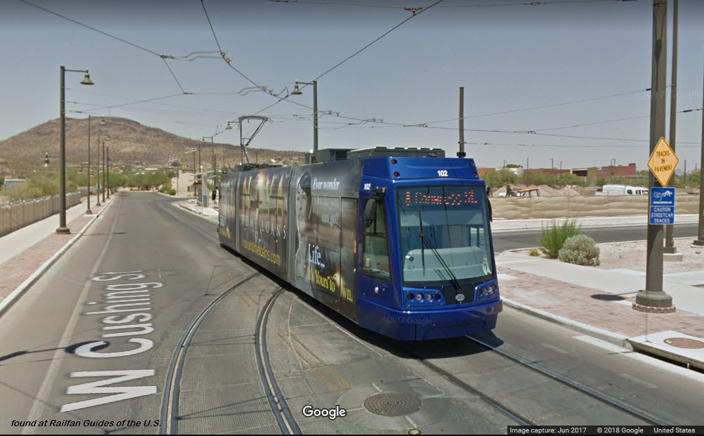
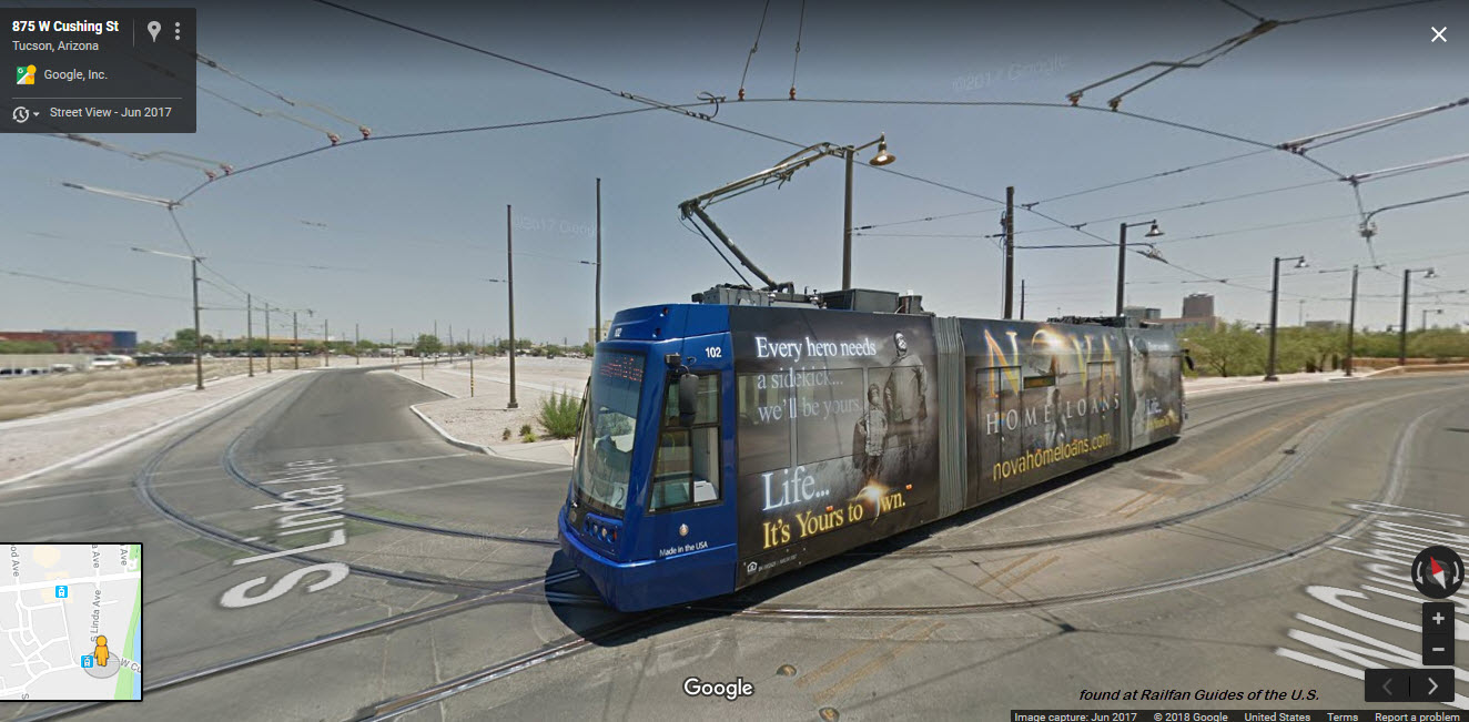
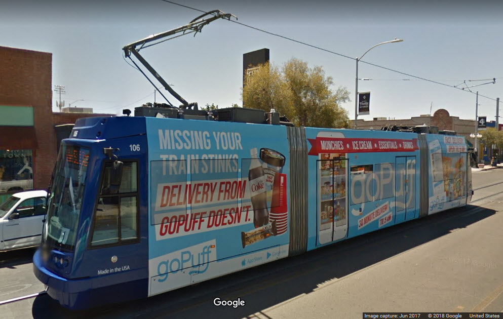
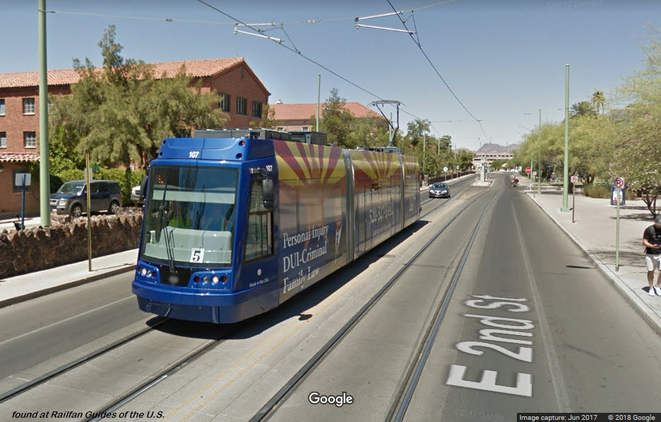
Sun Link maintains a fleet of eight United Streetcar 200s, operating up to six cars at one time. The streetcar is 66 feet long, double-ended (bi-directional), and articulated into three sections. Its center section floor is at platform height for accessibility with two double-door entrances on each side. Each side has a third passenger door located behind the operator cab. Propulsion is provided by four 90-kW motors drawing power via pantograph from an overhead wire. The streetcar has a maximum speed of 43.5 mph (70 km/h) and a capacity of 156 passengers (29 seated and 127 standing). The United 200 is largely identical to the 100 model produced for systems in Portland and Washington, D.C., the only major difference being that the 200 is equipped with upgraded air-conditioning. The design of the 100 model itself is based on the Czech-made Škoda 10 T.
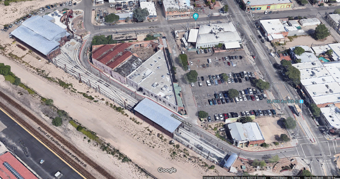
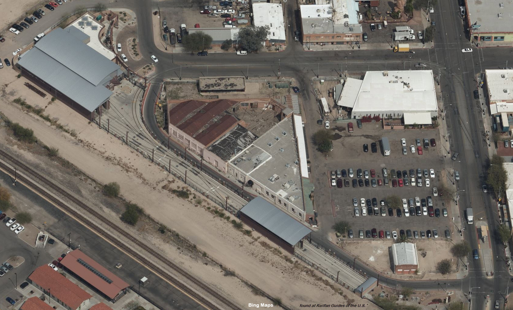
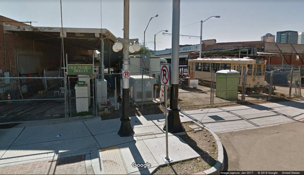
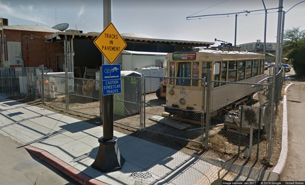
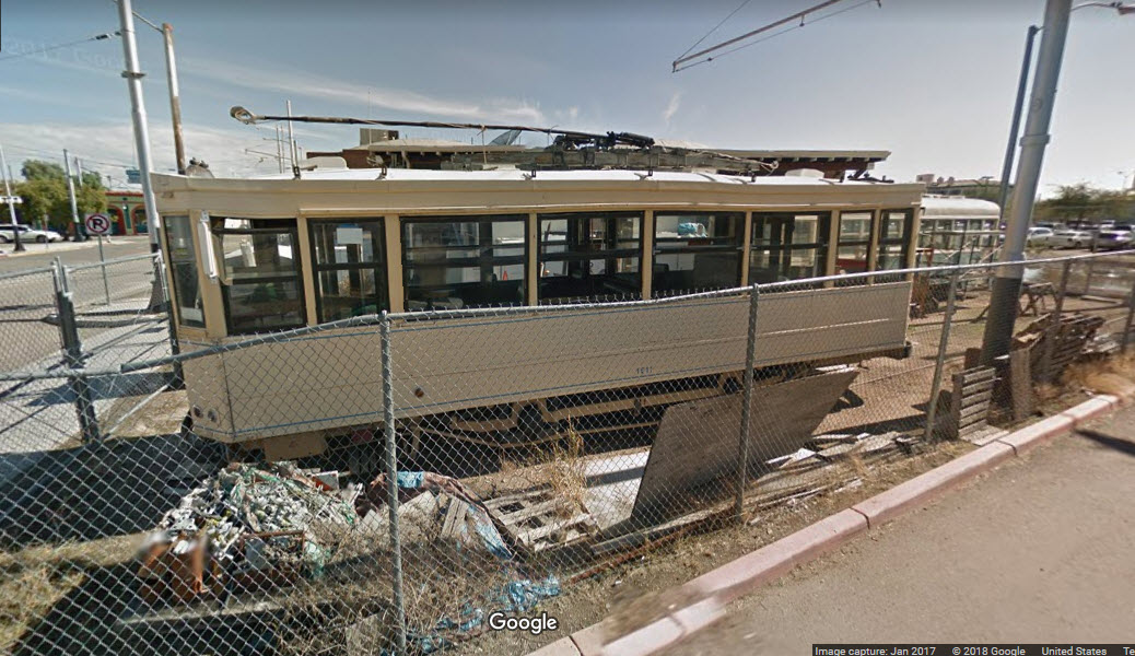
On another trolley related note, the Old Pueblo Trolley sits inside the shop service track, right off of 4th Ave at 8th Street.
It doesn't look like they have a connecting track, yet... see pix below.
Although it serves the Amtrak station because it is on the route, more or less, the streetcar system system does not go south to the Tucson International Airport, or to other tourist oriented places like the Pima Air and Space Museum.
Acknowledgements:
Denver Todd
Websites and other additional information sources of interest for the area:
http://www.sunlinkstreetcar.com/how-to-ride/maps
http://www.sunlinkstreetcar.com/
https://www.tucsonweekly.com/TheRange/archives/2014/07/14/tucson-artist-food-truck-organizer-parodies-streetcar-with-clitt-fb-page-critics-fire-back
https://en.wikipedia.org/wiki/Sun_Link
http://www.sunlinkstreetcar.com/schedule-and-fares
https://www.facebook.com/TucsonStreetcar/
Getting to downtown Tucson is relatively easy via I-10 and exit 258, which dumps you off on Congress St, a few blocks east of the Ave del Convento station,
or you can travel east and hit the Congress St and Broadway Blvd stations for starters.
I have looked all over for a map of the system that contains the stations.... nada.... even
on Sun Link's own website.... so....
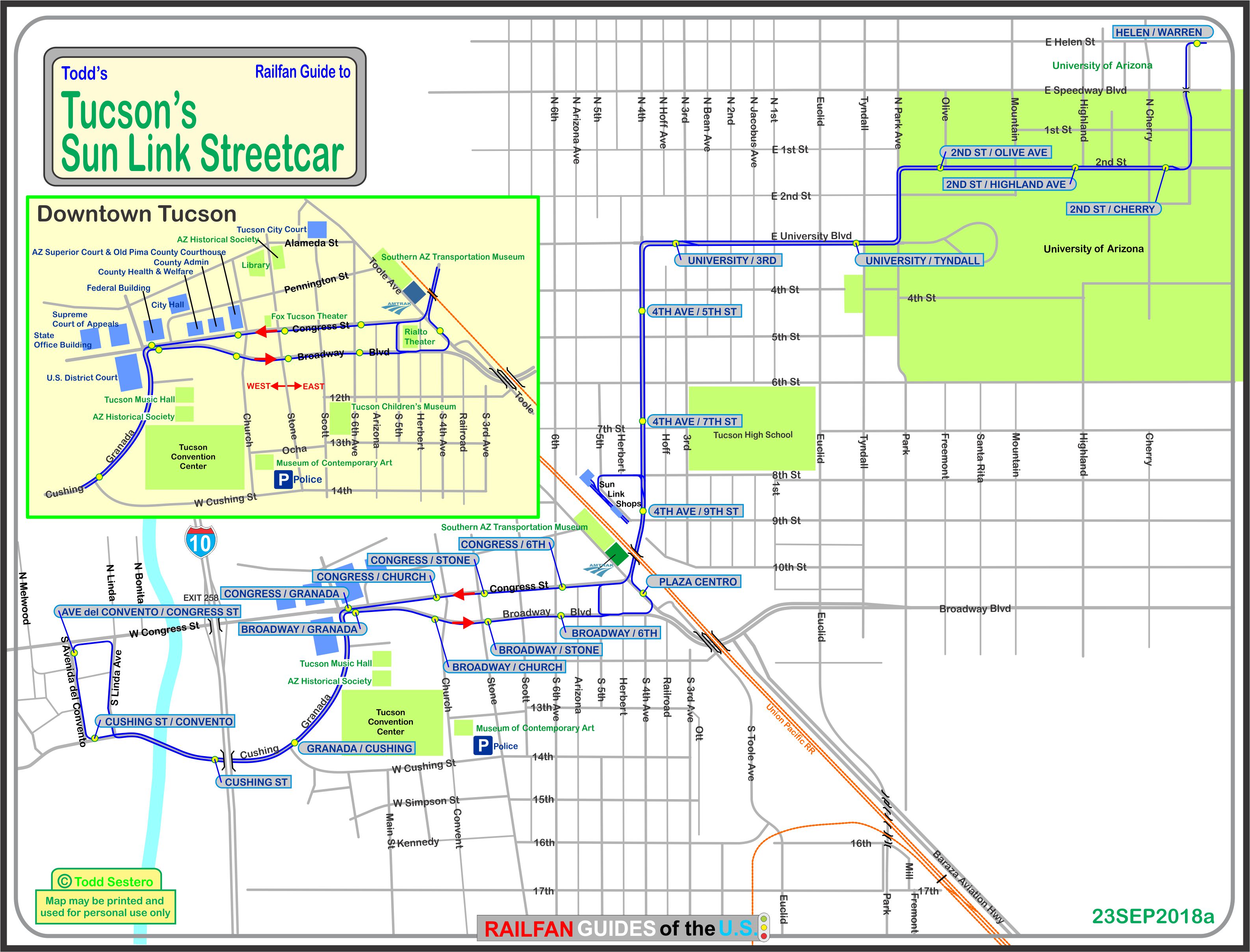
A smaller resolution copy of the map above is here:
And, finally, the map in PDF format is here
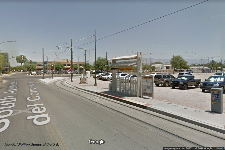
Ave del Convento / Congress St
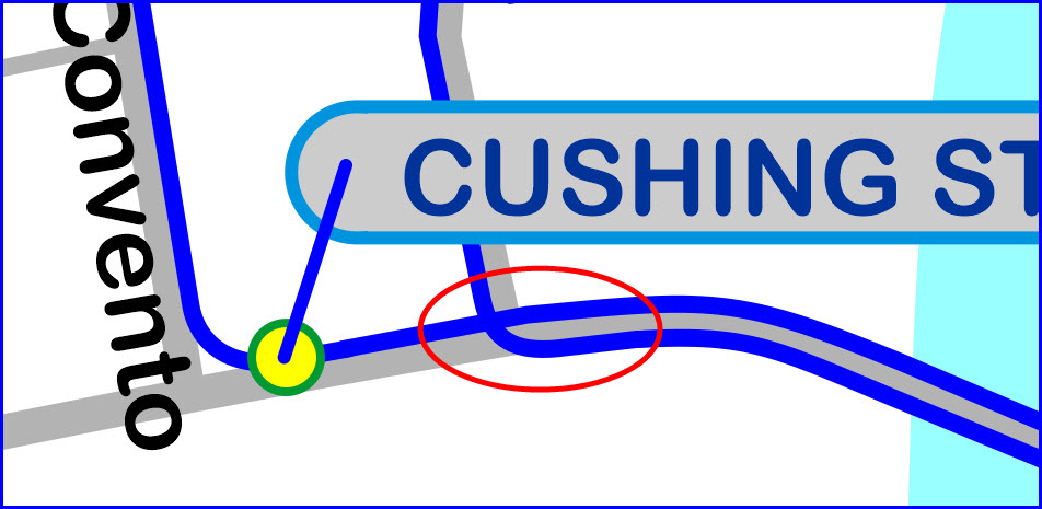
Cushing St / Convento
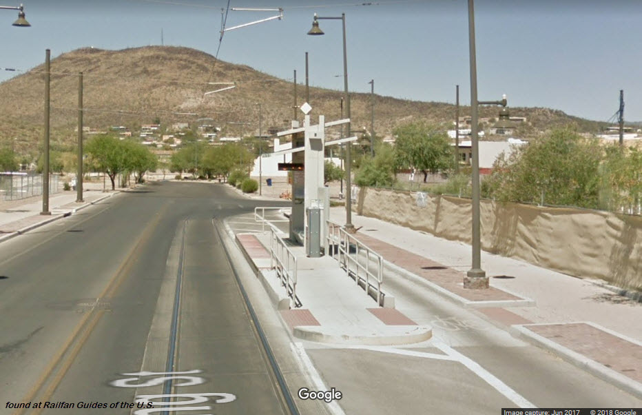
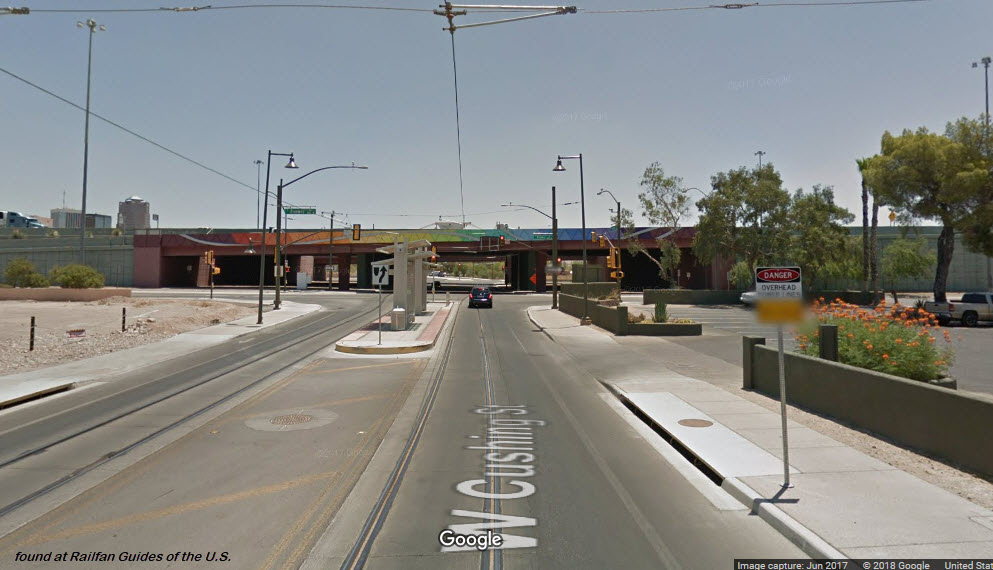
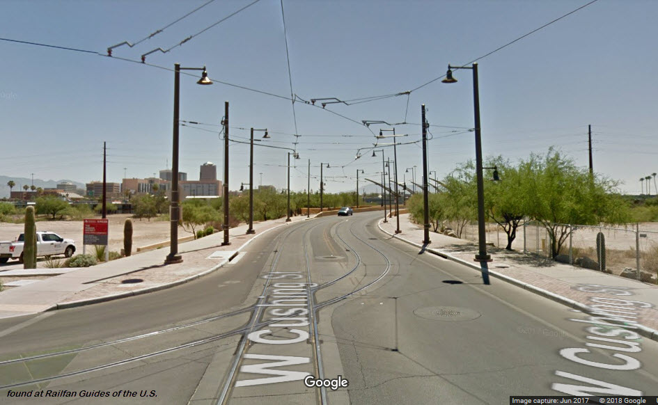
Cushing St
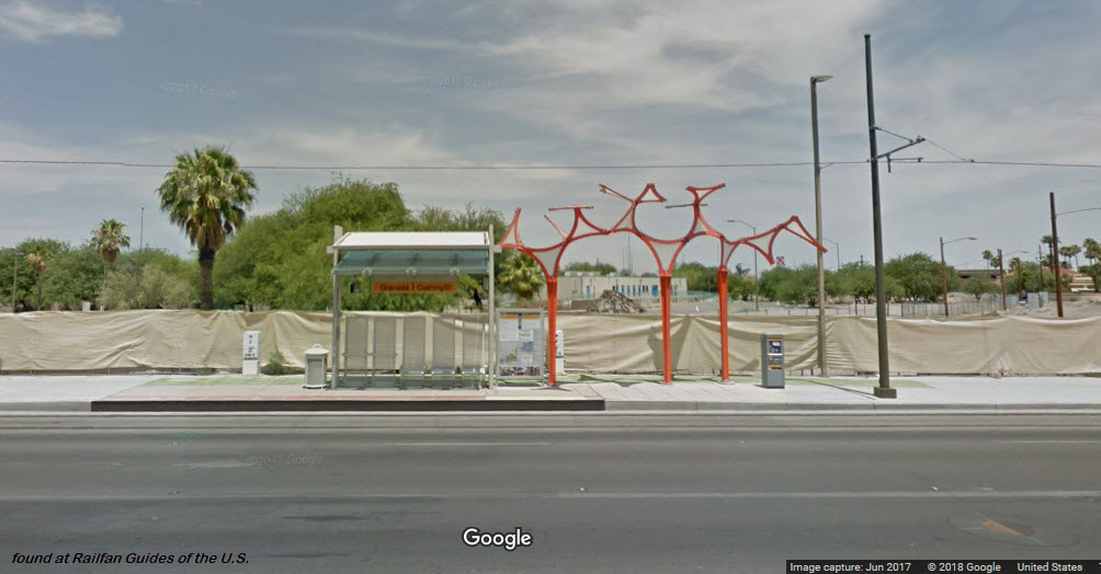
Granada / Cushing
Broadway / Granada
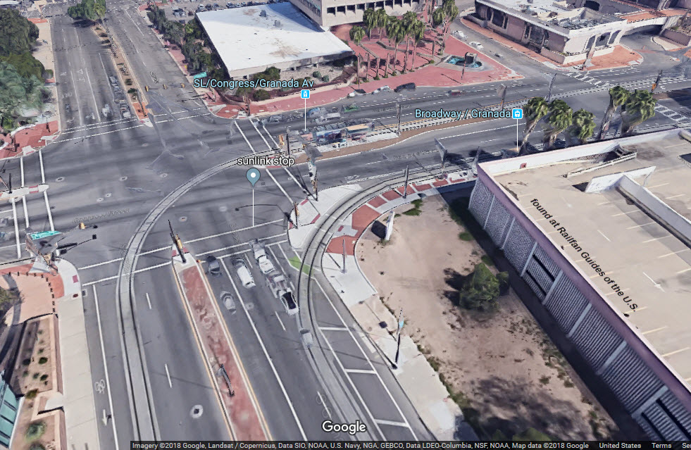
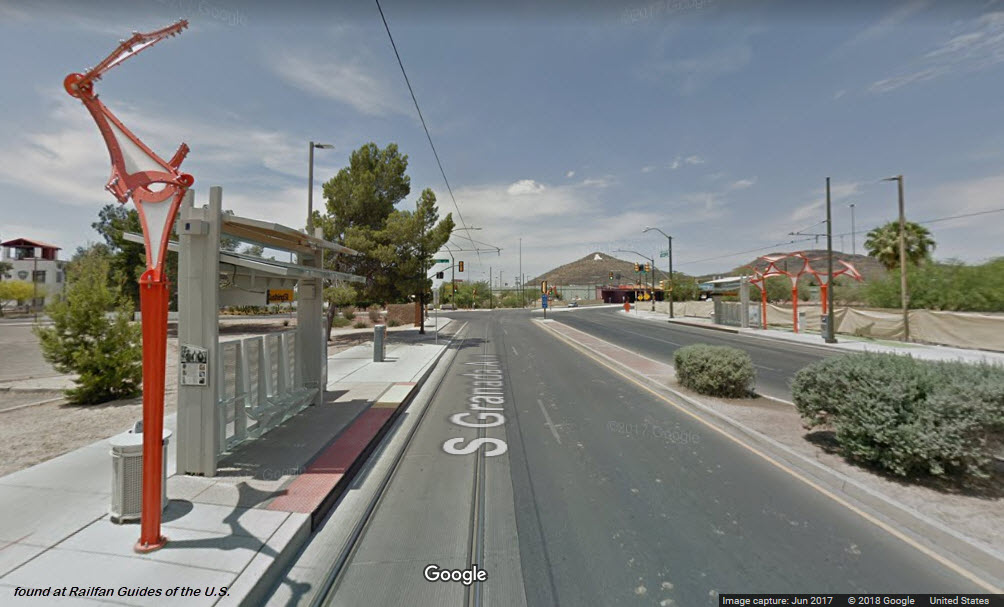
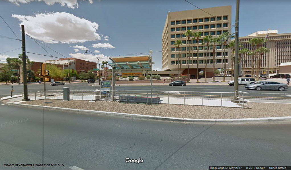
Congress / Granada
Broadway / Church
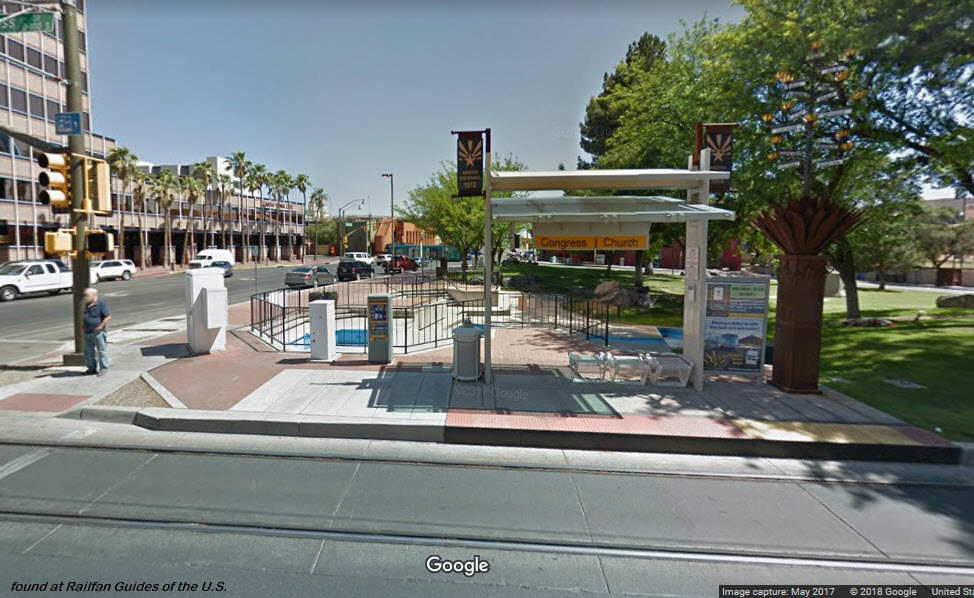
Congress / Church
Broadway / Stone
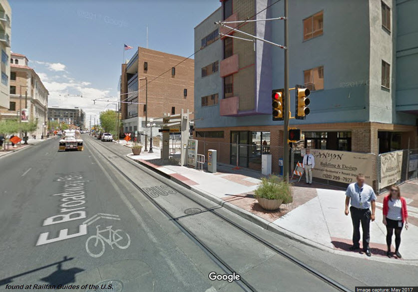
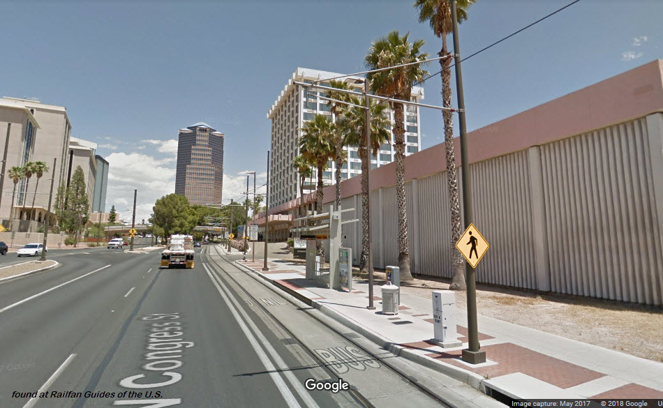
Congress / Stone
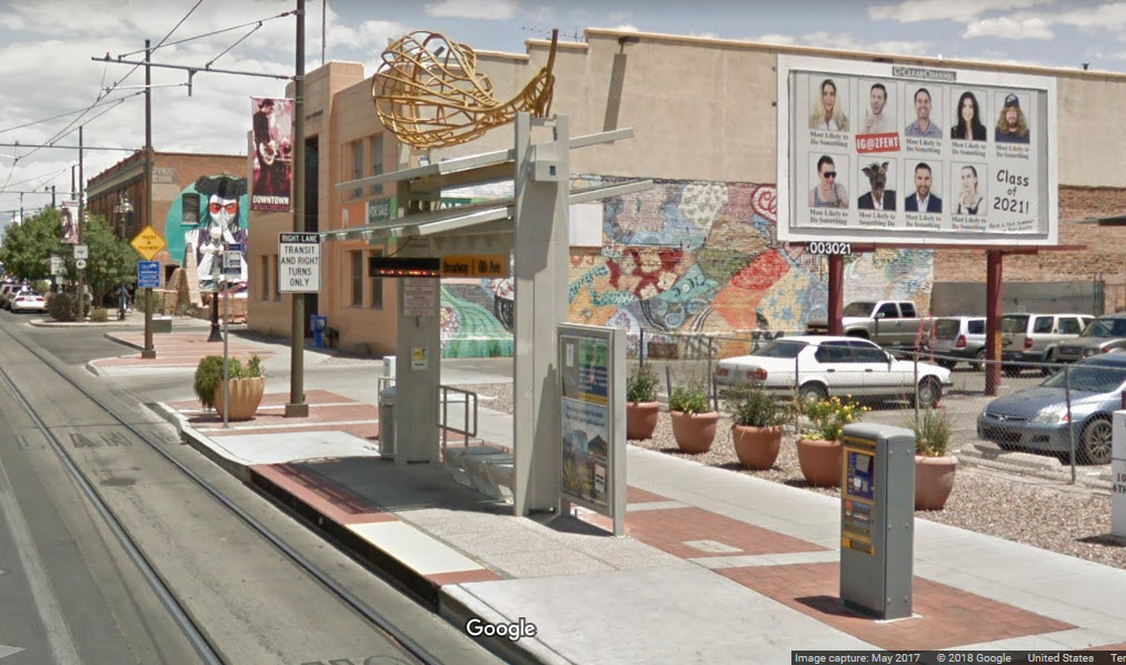
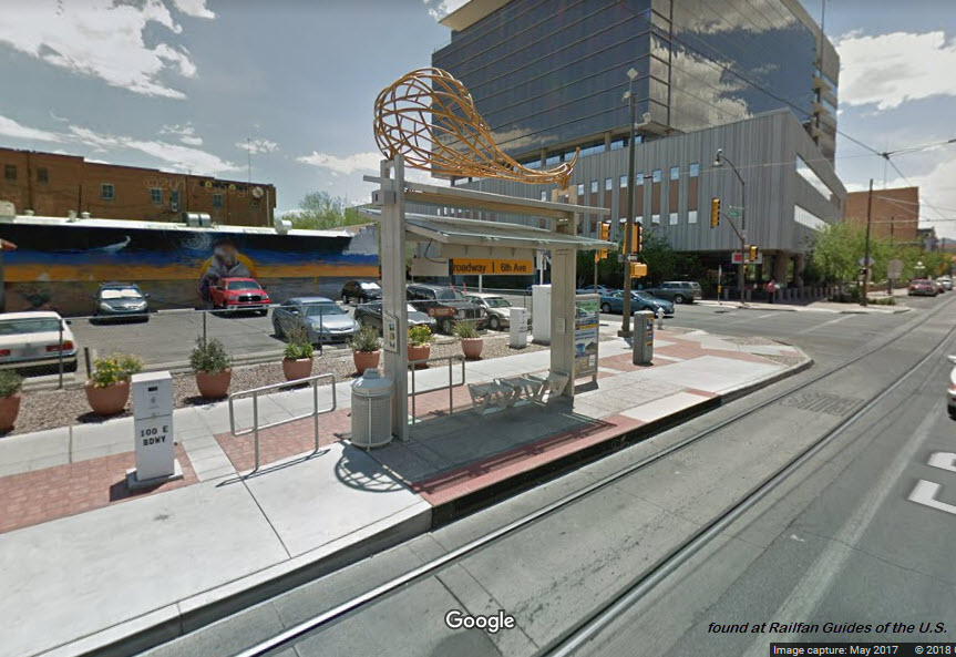
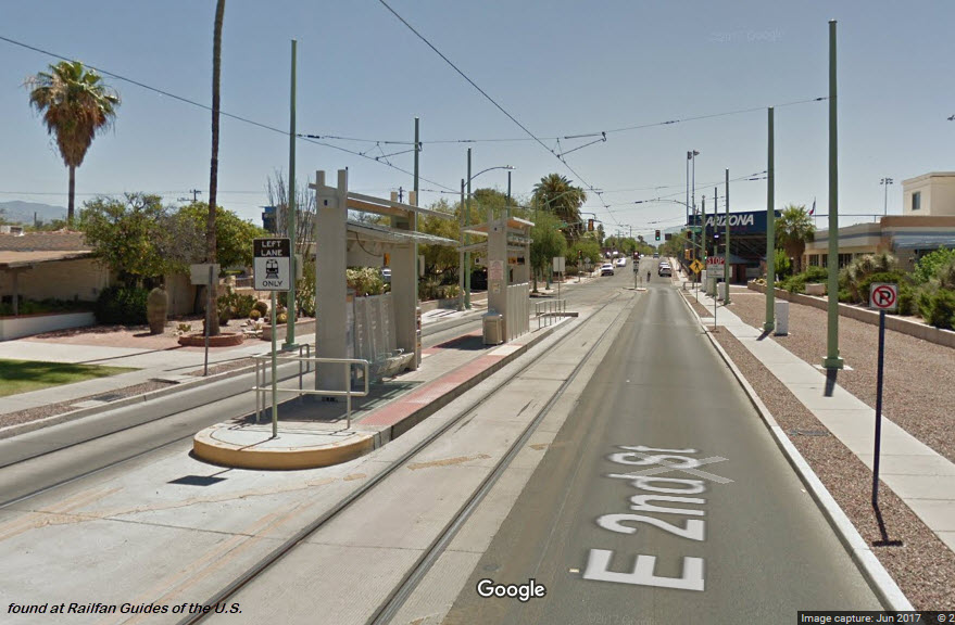
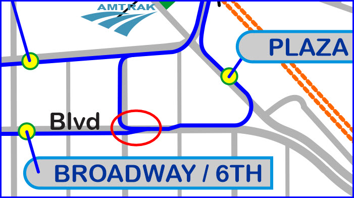
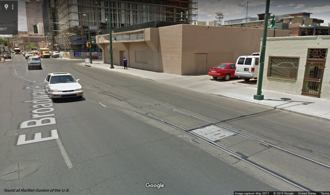
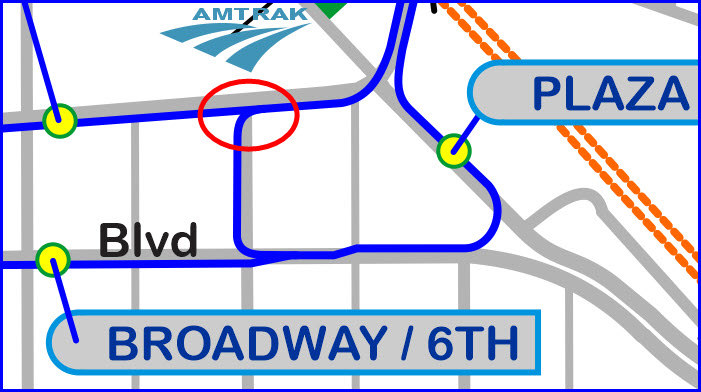
Broadway / 6th
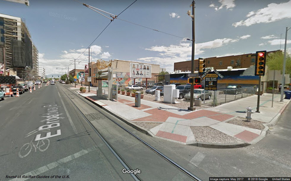
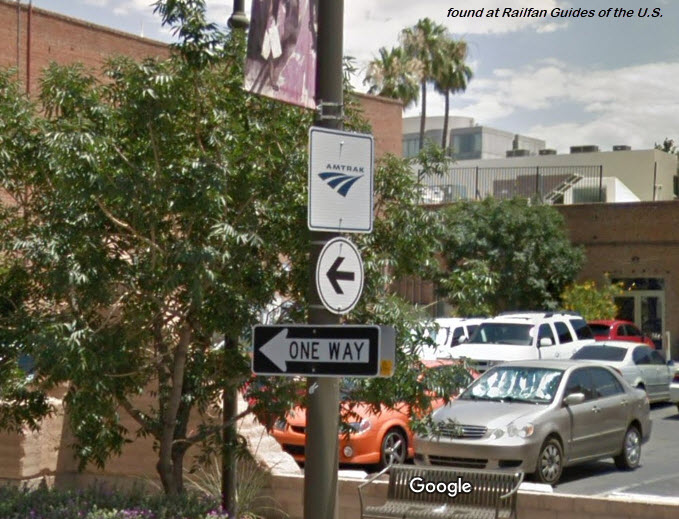
About a block further down the street is this sign for the Amtrak Station, you can just barely see it in the photo above:
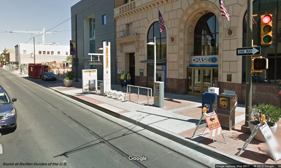
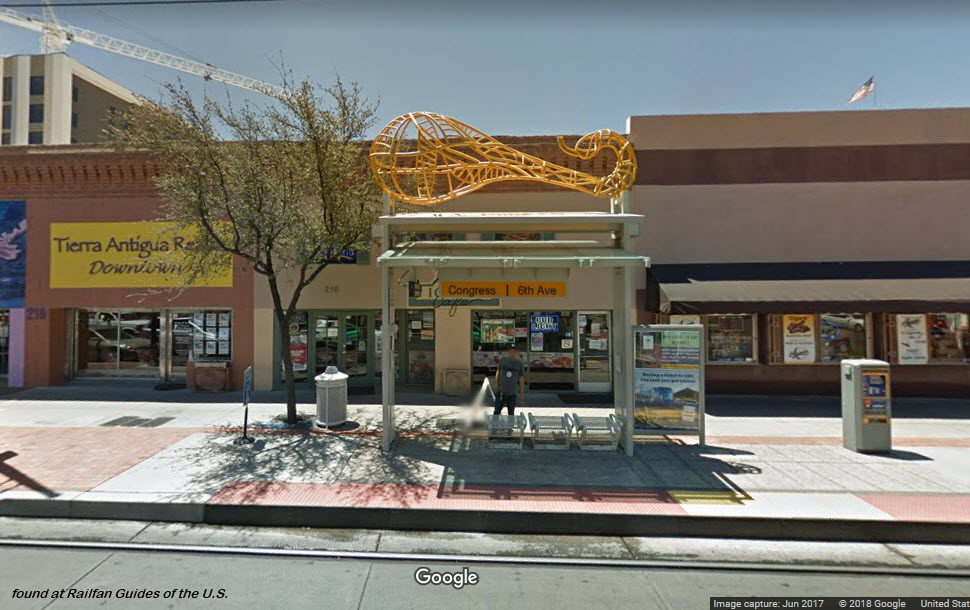
Congress / 6th
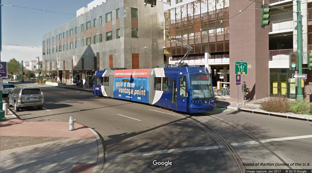
Plaza Centro
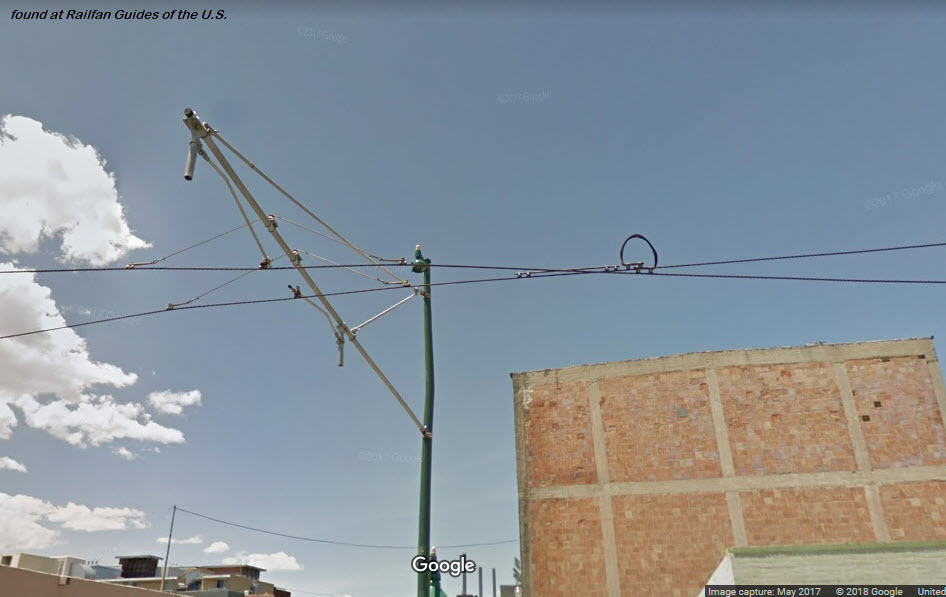
Notice, in true European fashion, the building owners have allowed SunLink to attach trolley wire supports on the buildings.
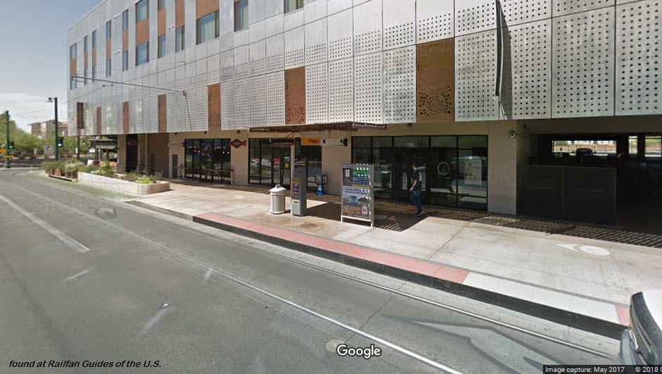
A train approaches the Plaza Centro station.
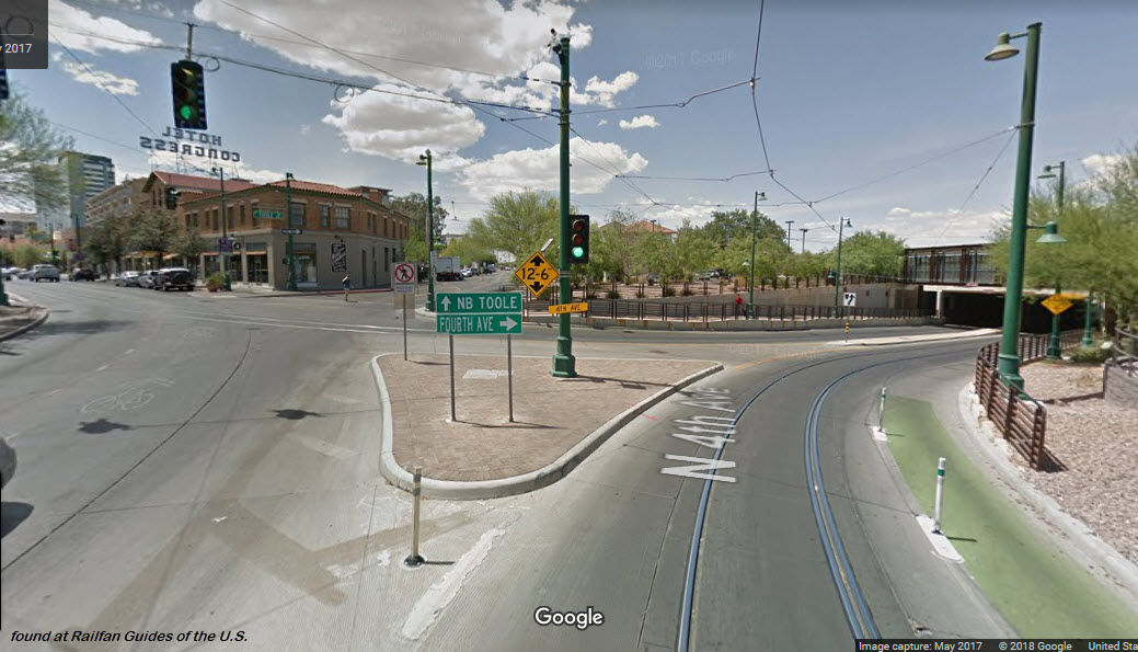
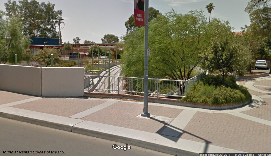
The intersection just north of Plaza Centro, where the two lines get ready to go under the railroad tracks.
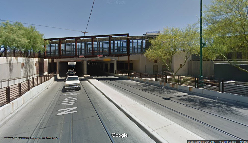
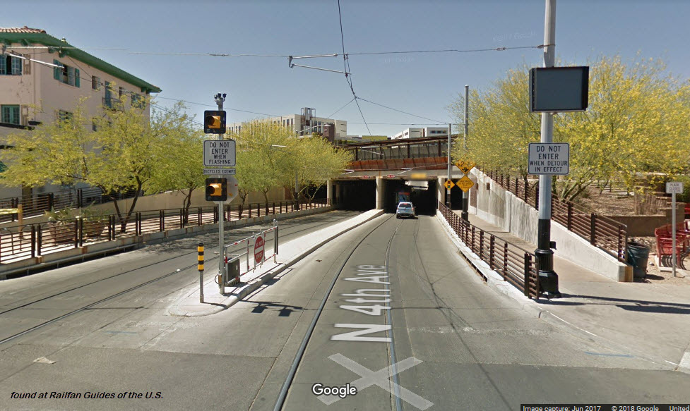
Going Under Under Amtrak
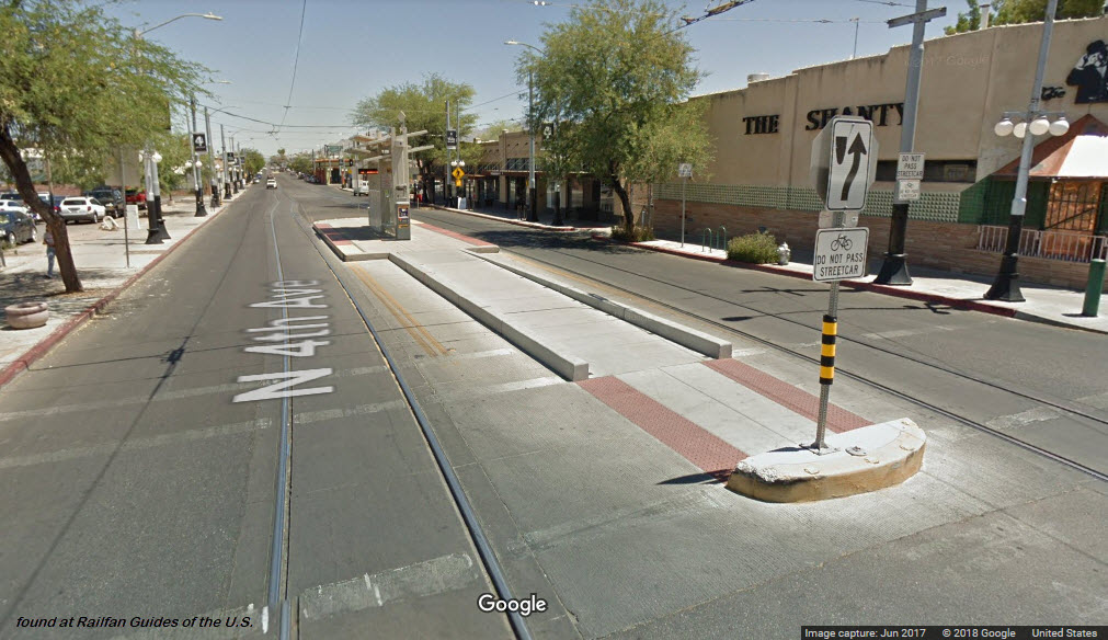
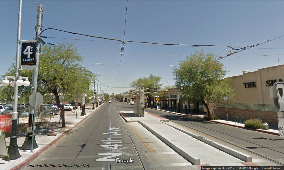
4th Ave / 9th St
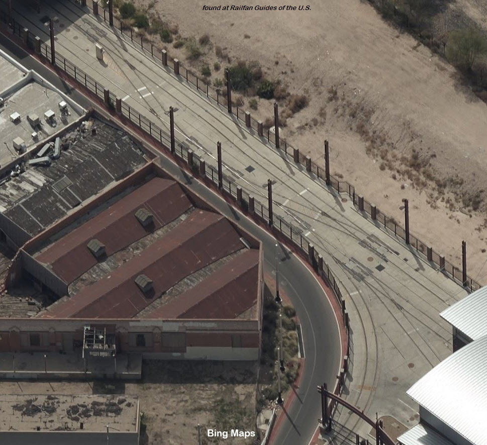
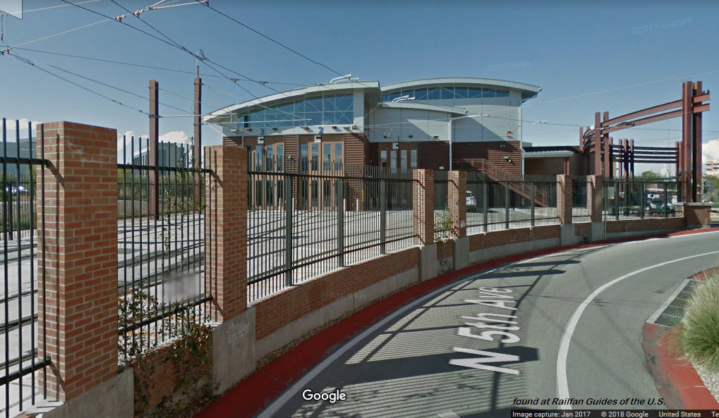
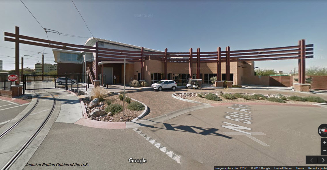
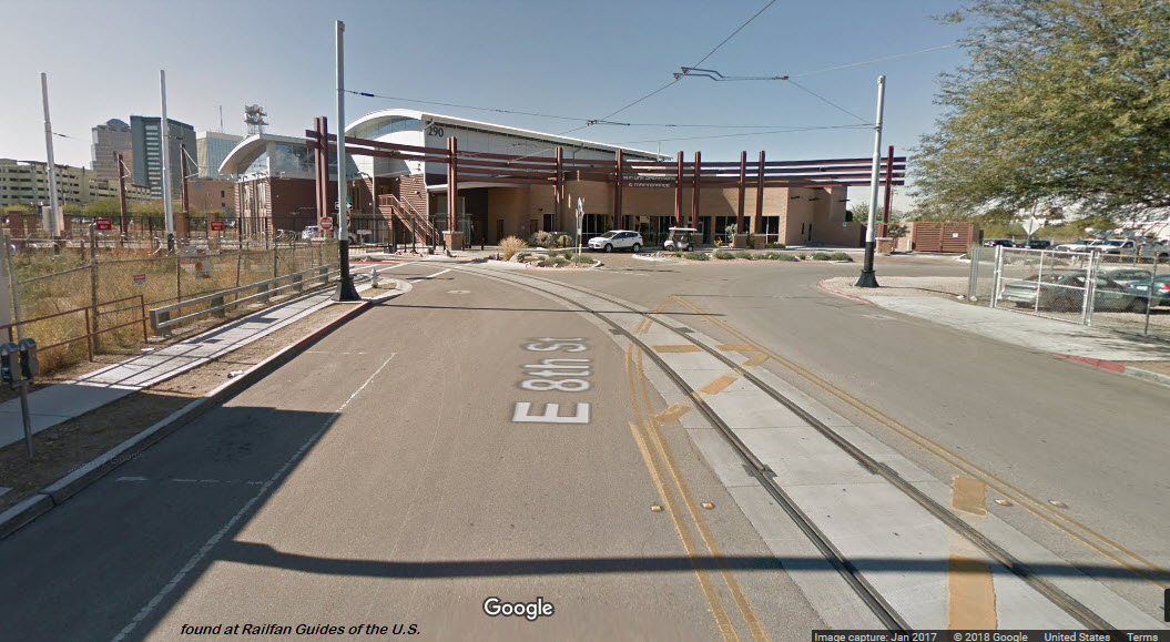
the Shops
They followed the KISS principle... Good For Them! Sure beats the heck out of what they did and spent in DC! Eh? There is only one track leading in and out of the facility, and everything goes south from here, although they can go onto either "side" of the system.
With only six cars, I guess they can keep four of them inside the shops at any one time, and the other two can sit outside under the shed.
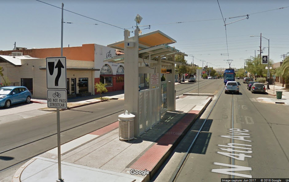
4th Ave / 7th St
A train approaching the 4th Ave and 7th St station.
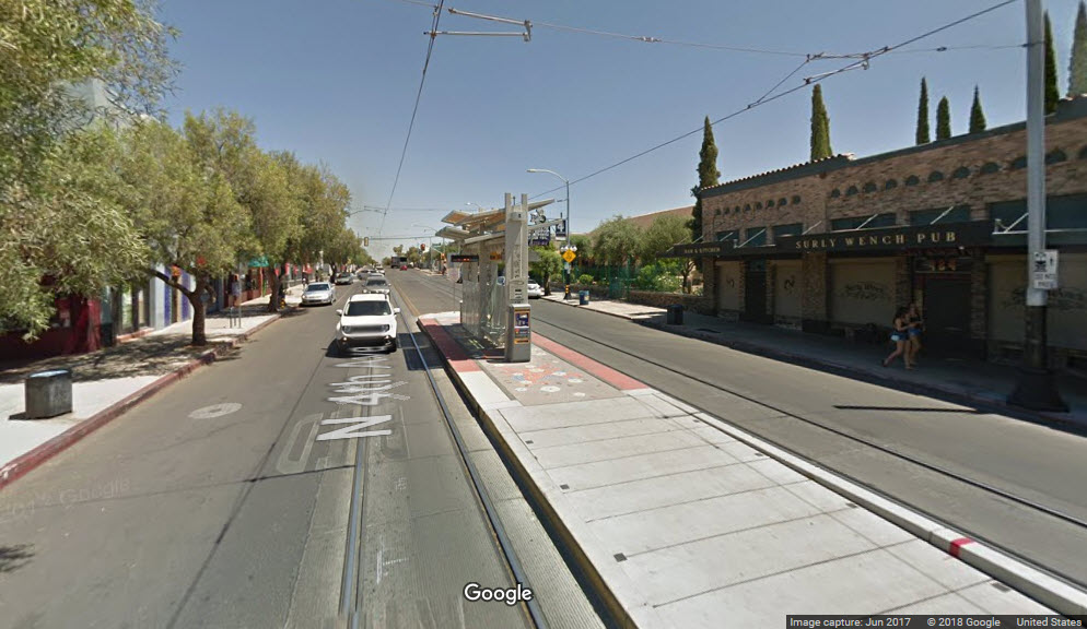
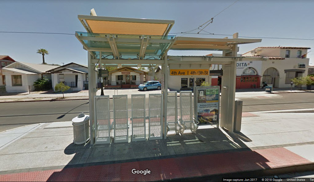
4th Ave / 5th St
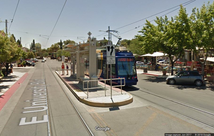
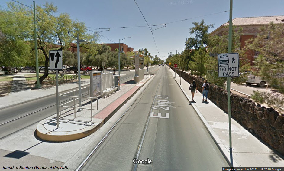
University / 3rd
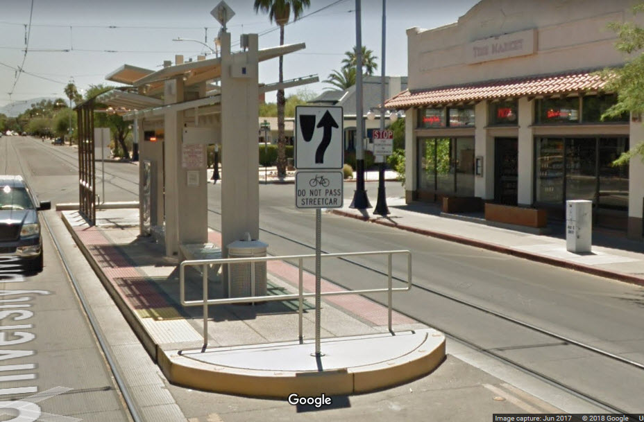
University / Tyndall
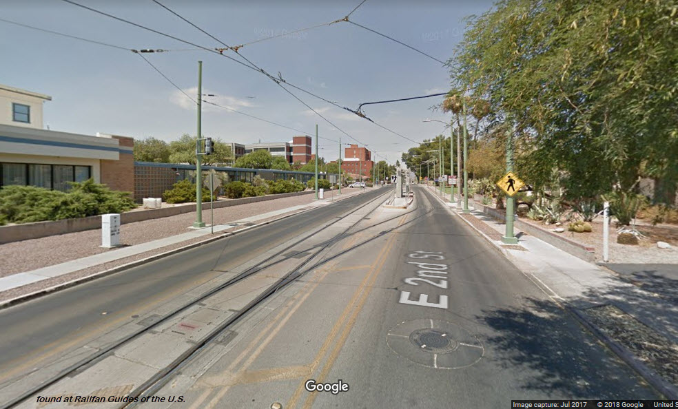
2nd St / Olive Ave
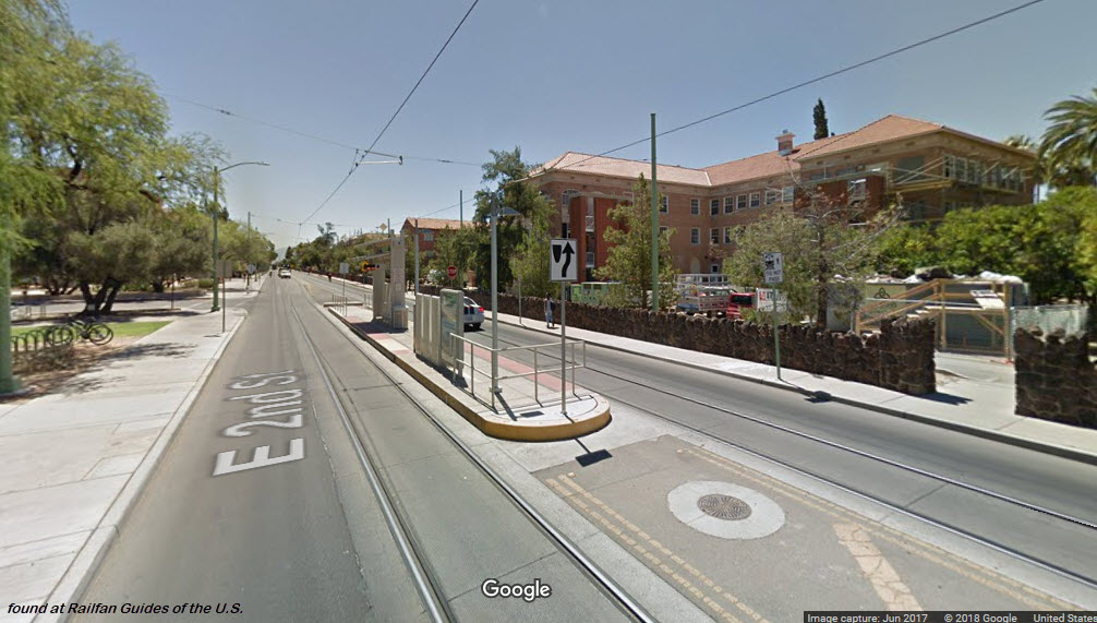
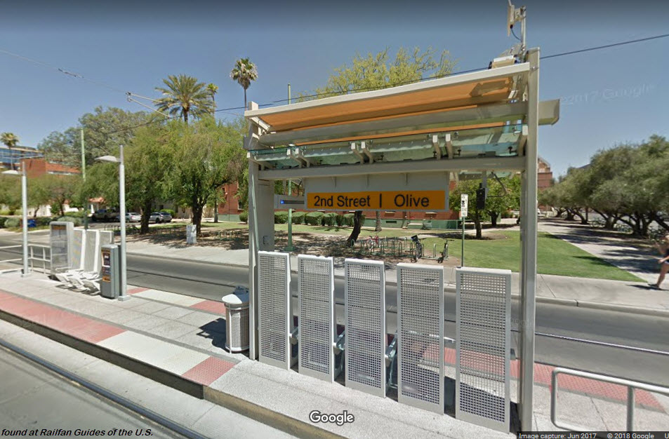
Train leaving the 2nd and Olive station, headed towards 2nd and Highland.
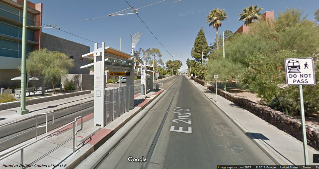
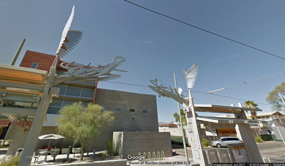
2nd St / Highland Ave
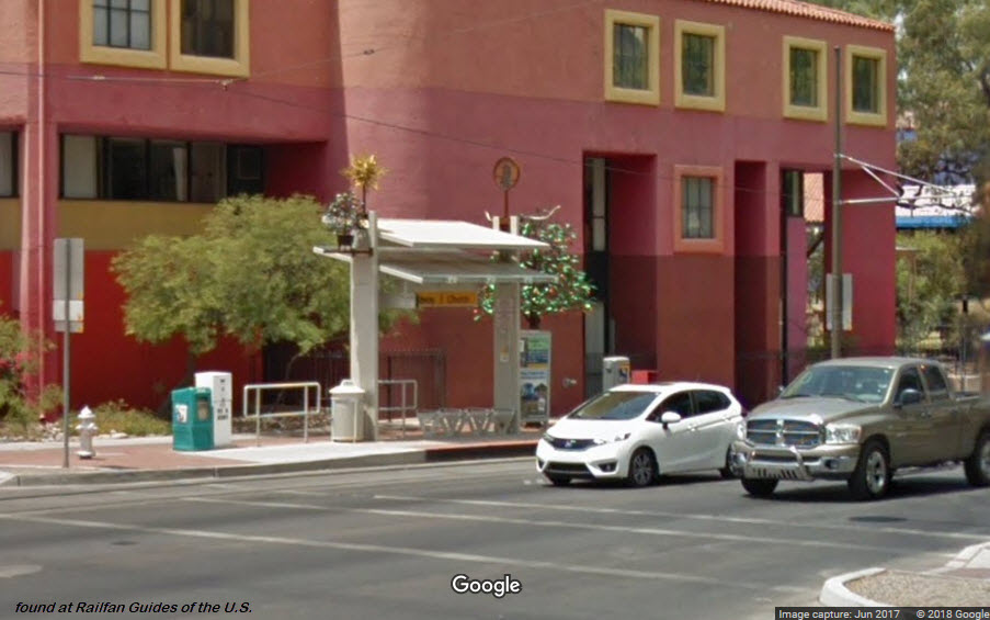
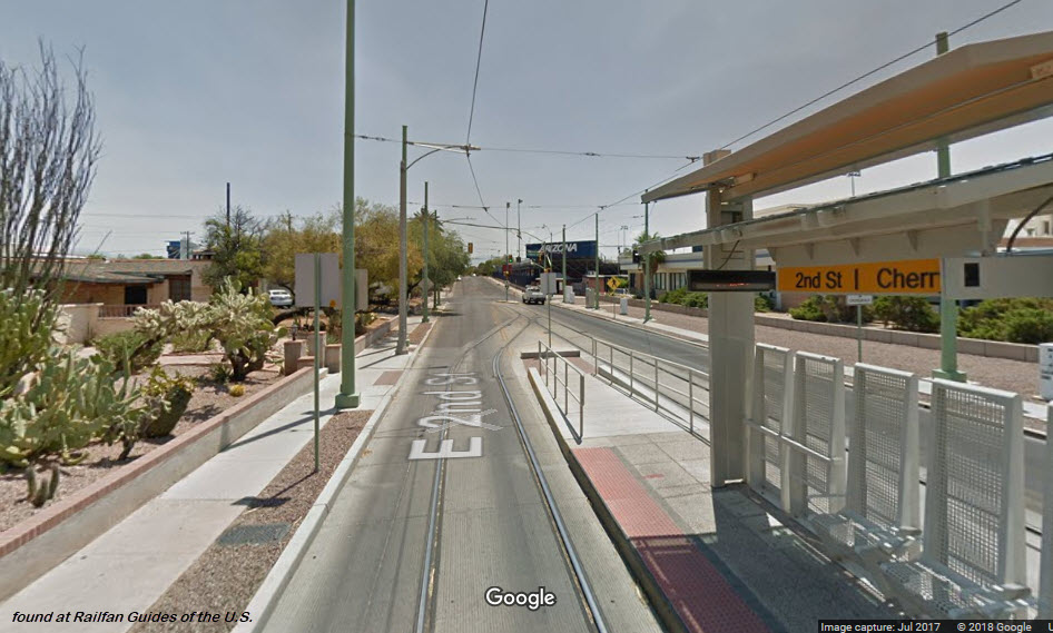
2nd St / Cherry
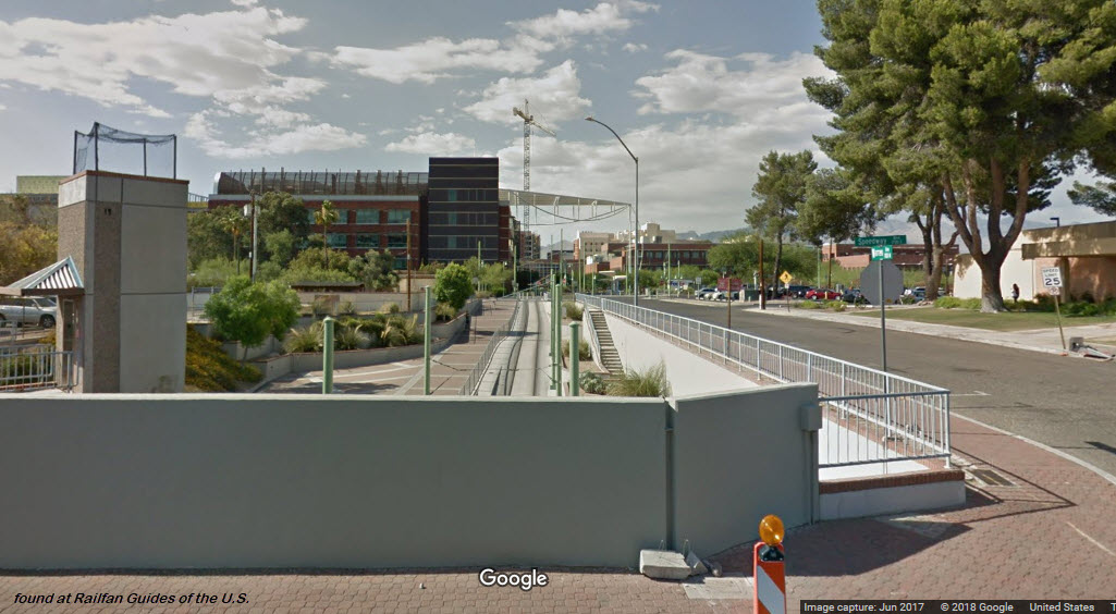
Under Speedway
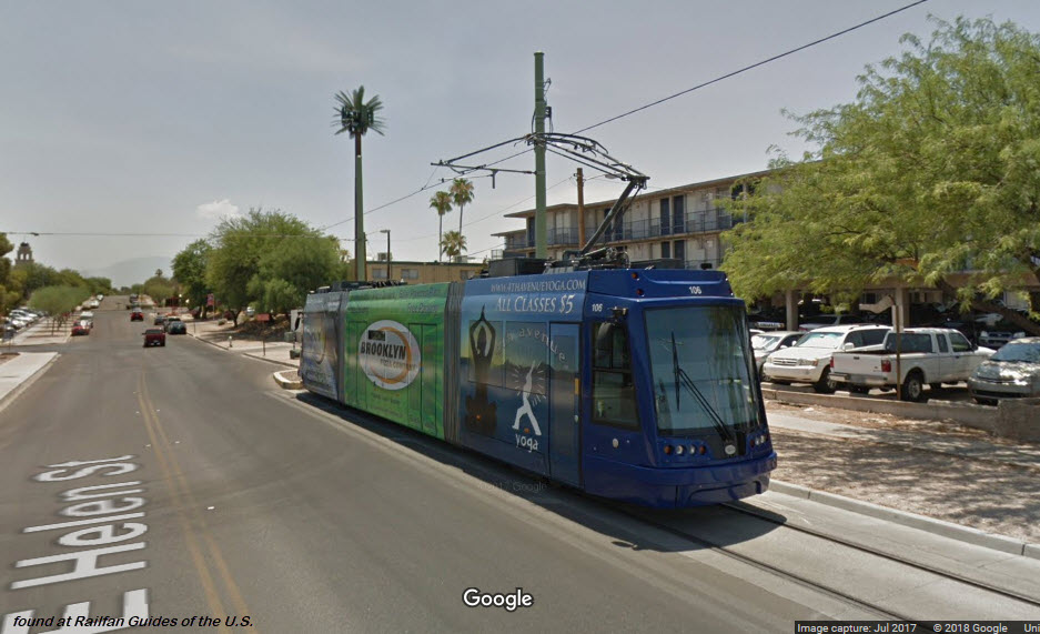
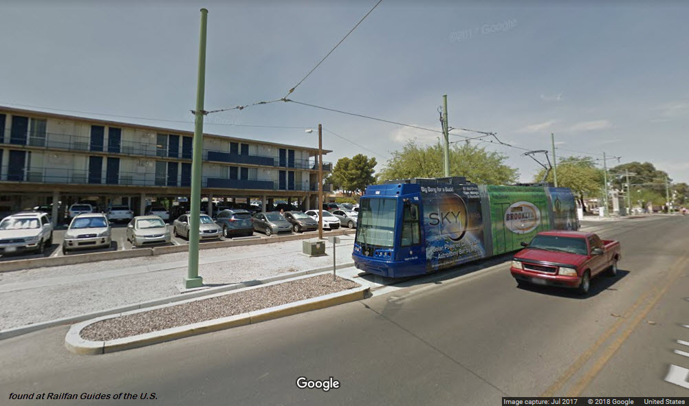
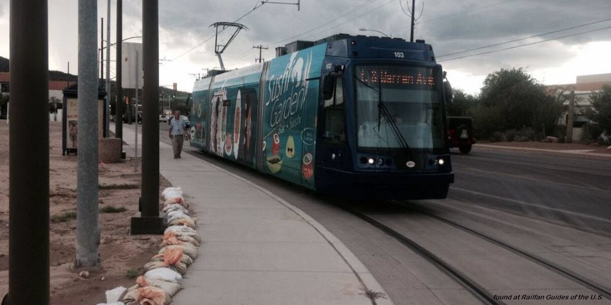
Helen / Warren
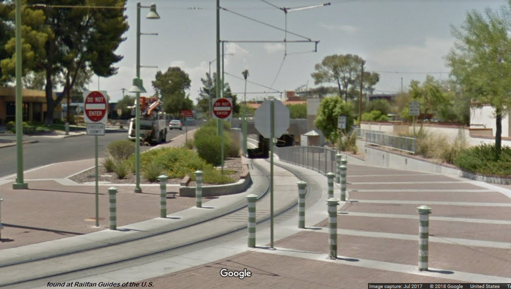
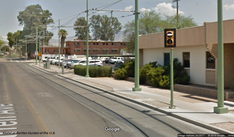
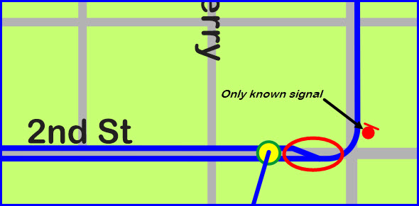
The system is noticeably devoid of any streetcar specific signals..... Except for one place.....
On Warren Ave, by 2nd St where the tracks go to one track for the run into Helen and Warren, there is a bar signal, probably to let the operator know whether or not he can proceed to the last station. However, by the time he sees the signal, he is already on single track, and would have to back-up if a train was coming out of Helen/Warren.
If anyone knows how the signal operates and what it tells the operator, an email would be appreciated.
Power feed at 4th/9th
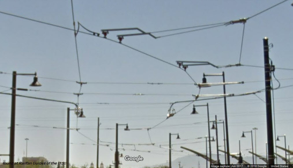
Junction at Broadway and 5th
This is one of the few junctions on the streetcar system. Notice they use plain "streetcar" type overhead wire as opposed to the more complicated types used by most systems that use a pantograph.
Junction at Congress and 5th

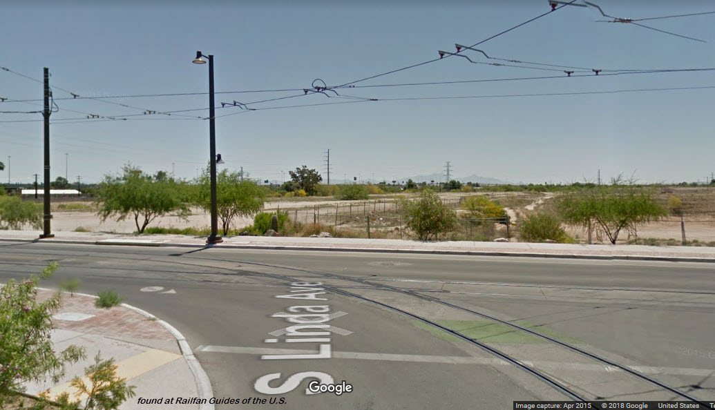
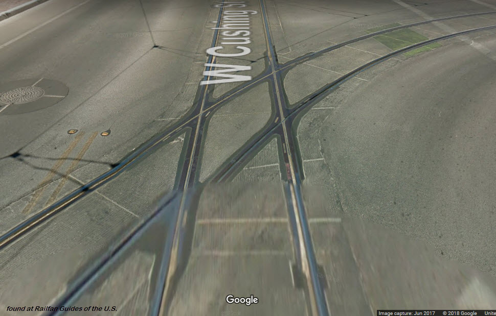
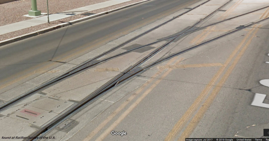
Crossing at Cushing and Linda

Warren Ave Interlocking
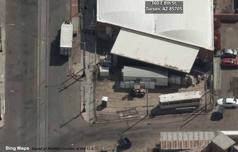
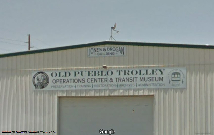
the Old Pueblo Trolley
GPS Coordinates: 32.224918, -110.966173 (8th St)
GPS Coordinates: 32.192747, -110.965711 (36th St)
http://www.oldpueblotrolley.org/
https://en.wikipedia.org/wiki/Old_Pueblo_Trolley
https://www.facebook.com/oldpueblotrolley/
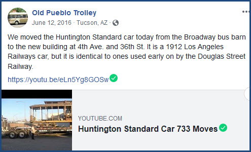
This is a museum, associated with the Southern AZ Transportation Museum. It had been operating a line starting in 1993, but because of the SunLink streetcar construction, the tracks into their lot have been severed. At this point, I guess it will be that way for an indeterminate amount of time.
These pictures below are of their 4th Ave/8th St facility.
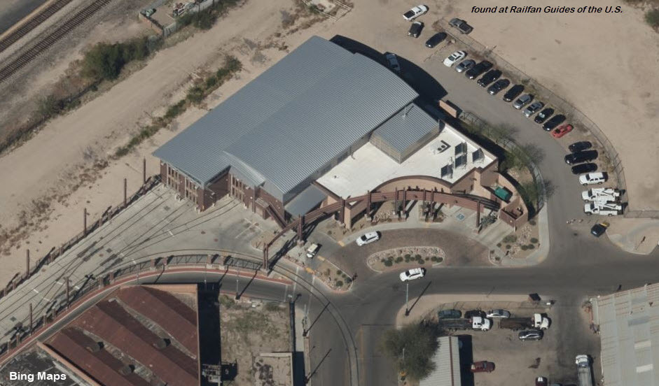
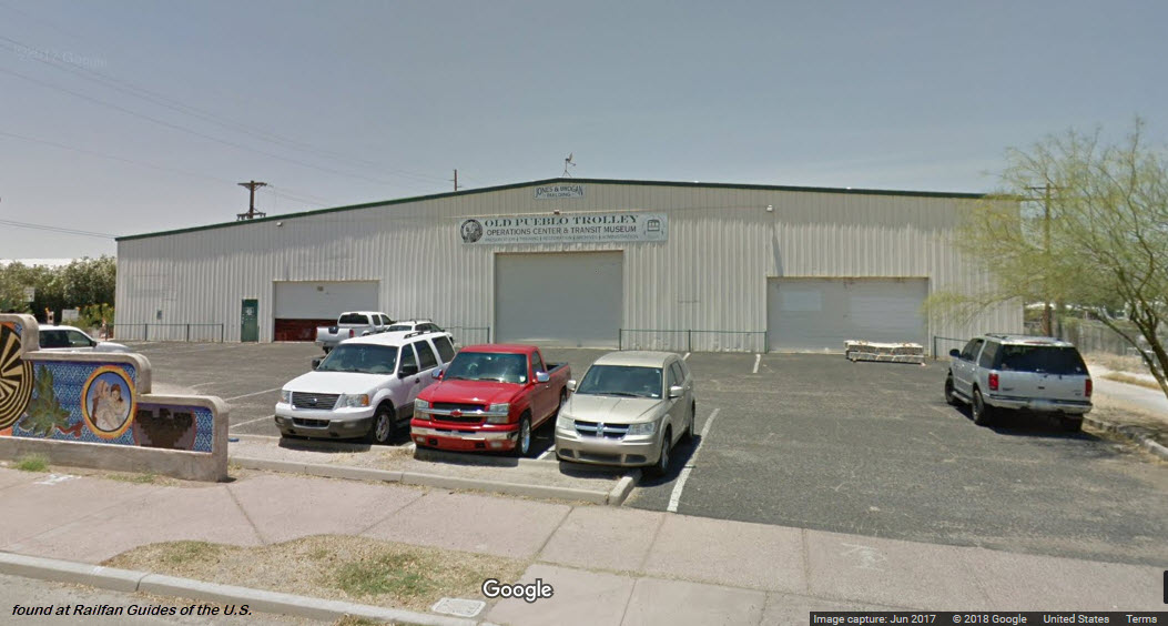
The pictures below are of their S 4th Ave and 36th St facility, which was dedicated in 2016.
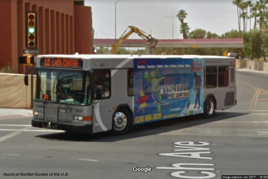
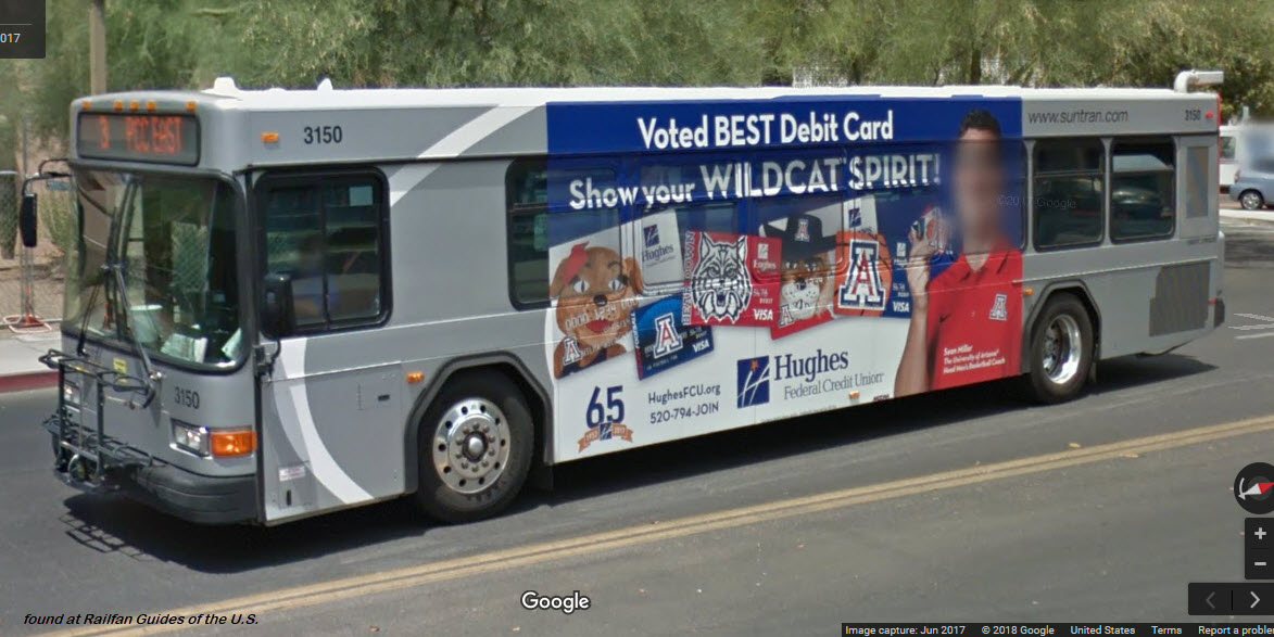
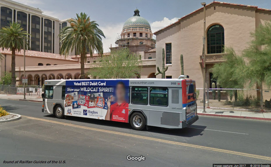
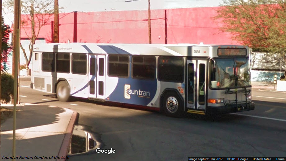
Suntran Busses
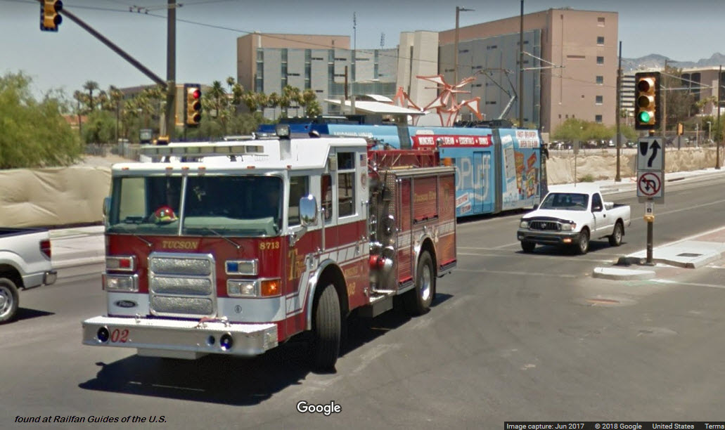
Fire Equipment
Other Stuff
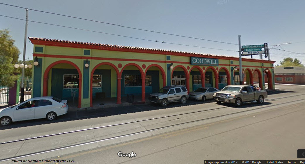
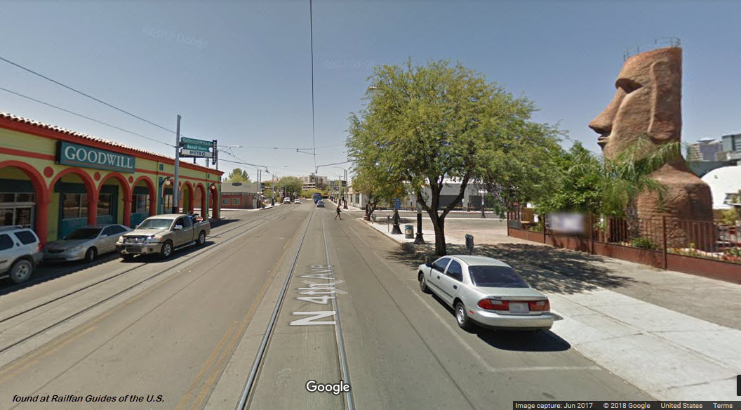
Down by 4th Ave and 9th St...... a fancy Goodwill, and something from Easter Island!.....
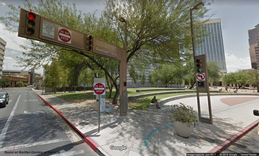
 Nice traffic light supports!
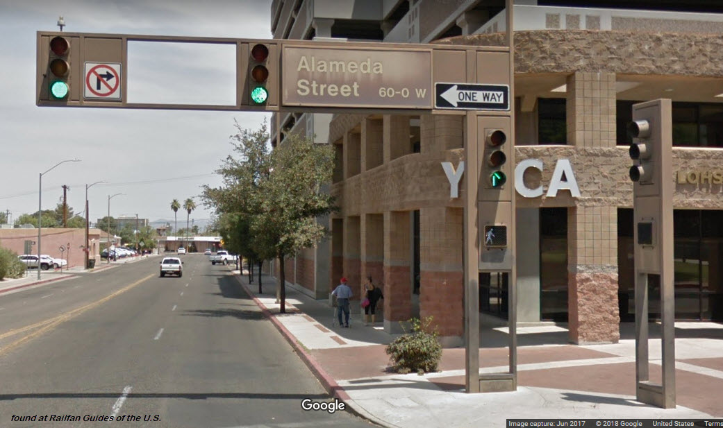
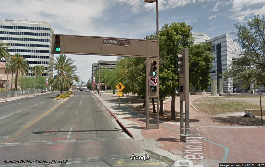
 Along Broadway Blvd, near Pennington St
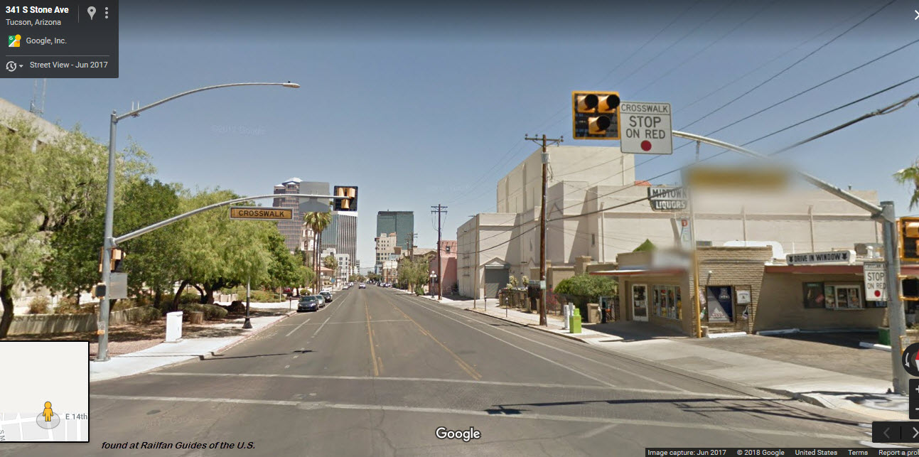
Disclaimers:
I love trains, and I love signals. I am not an expert. My webpages reflect what I find on the topic of the page. This is something I have fun with while trying to help others.
Please Note: Since the main focus of my two websites is railroad signals, the railfan guides are oriented towards the signal fan being able to locate them. For those of you into the modeling aspect of our hobby, my indexa page has a list of almost everything railroad oriented I can think of to provide you with at least a few pictures to help you detail your pike.
If this is a railfan page, every effort has been made to make sure that the information contained on this map and in this railfan guide is correct. Once in a while, an error may creep in :-)
My philosophy: Pictures and maps are worth a thousand words, especially for railfanning. Text descriptions only get you so far, especially if you get lost or disoriented. Take along good maps.... a GPS is OK to get somewhere, but maps are still better if you get lost! I belong to AAA, which allows you to get local maps for free when you visit the local branches. ADC puts out a nice series of county maps for the Washington DC area, but their state maps do not have the railroads on them. If you can find em, I like the National Geographic map book of the U.S..... good, clear, and concise graphics, and they do a really good job of showing you where tourist type attractions are, although they too lack the railroads. Other notes about specific areas will show up on that page if known.
Aerial shots were taken from either Google or Bing Maps as noted. Screen captures are made with Snagit, a Techsmith product... a great tool if you have never used it!
By the way, floobydust is a term I picked up 30-40 years ago from a National Semiconductor data book, and means miscellaneous and/or other stuff.
Pictures and additional information is always needed if anyone feels inclined to take 'em, send 'em, and share 'em, or if you have something to add or correct.... credit is always given! Please be NICE!!! Contact info is here
Beware: If used as a source, ANYTHING from Wikipedia must be treated as being possibly being inaccurate, wrong, or not true.
RAILFAN GUIDES HOME
RAILROAD SIGNALS HOME
NEW
09/21/2018
Last Modified
26-Sep-2018