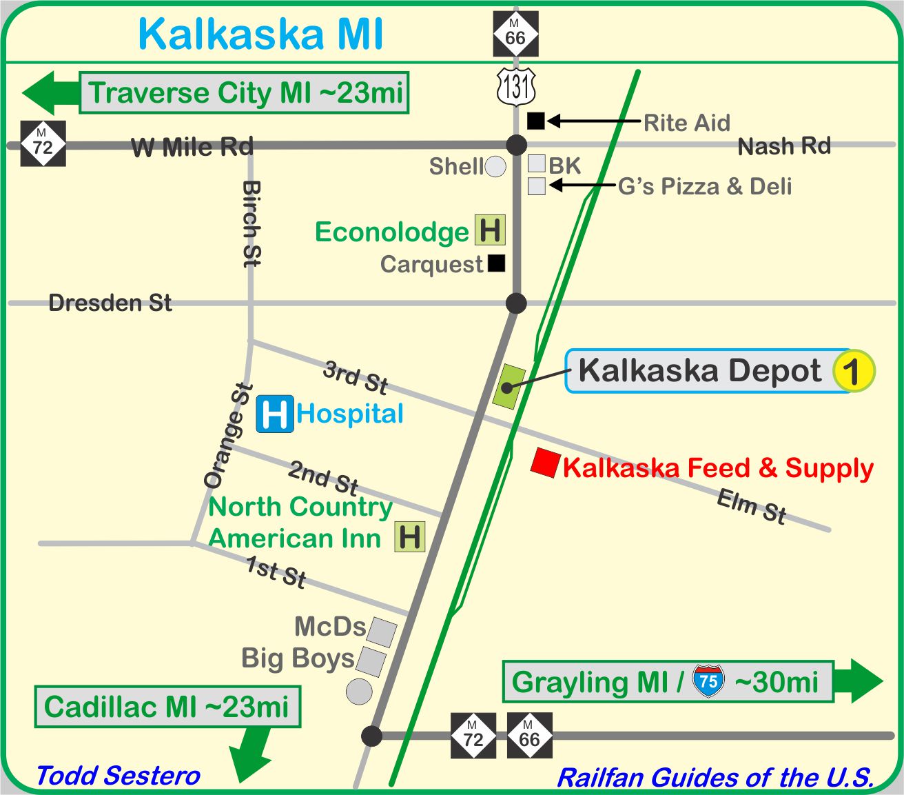
What's Here:
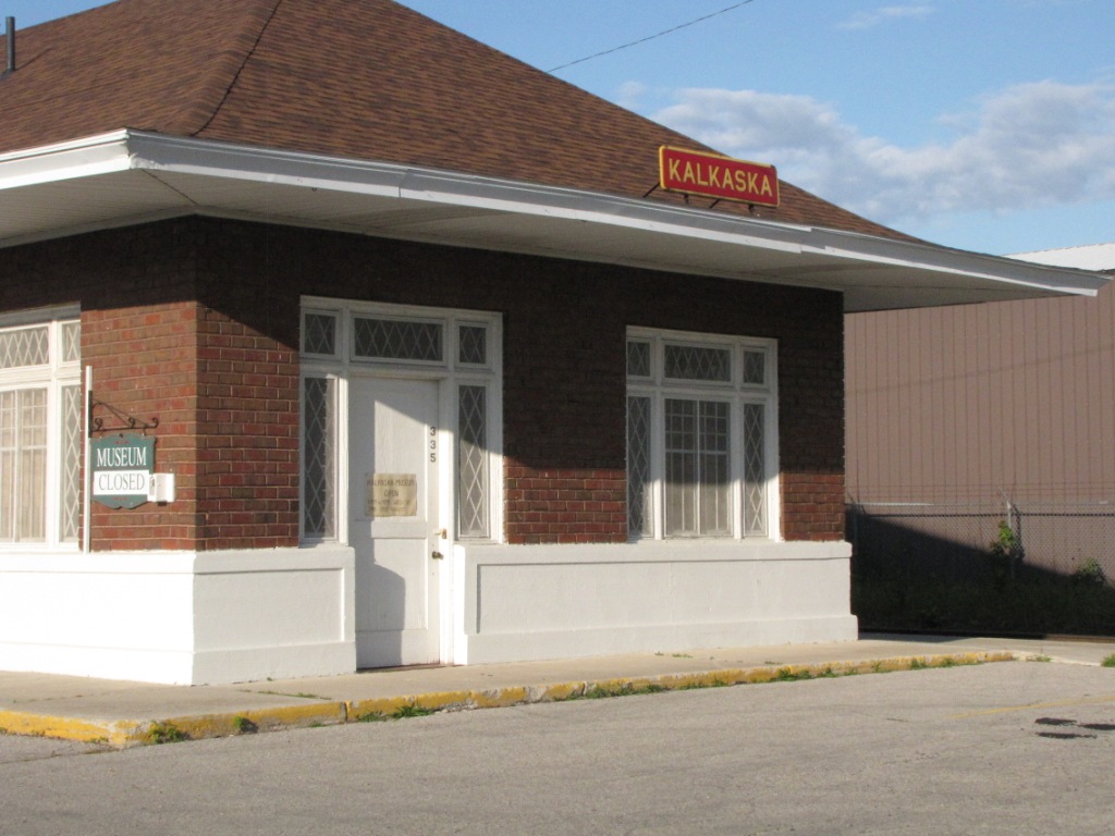
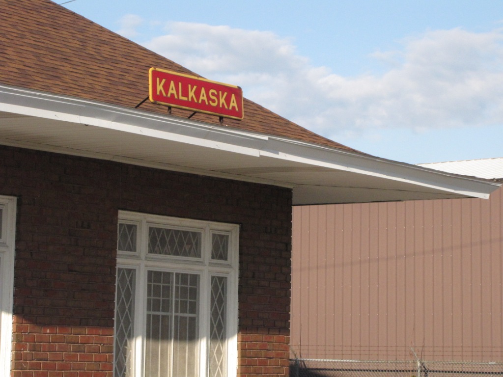
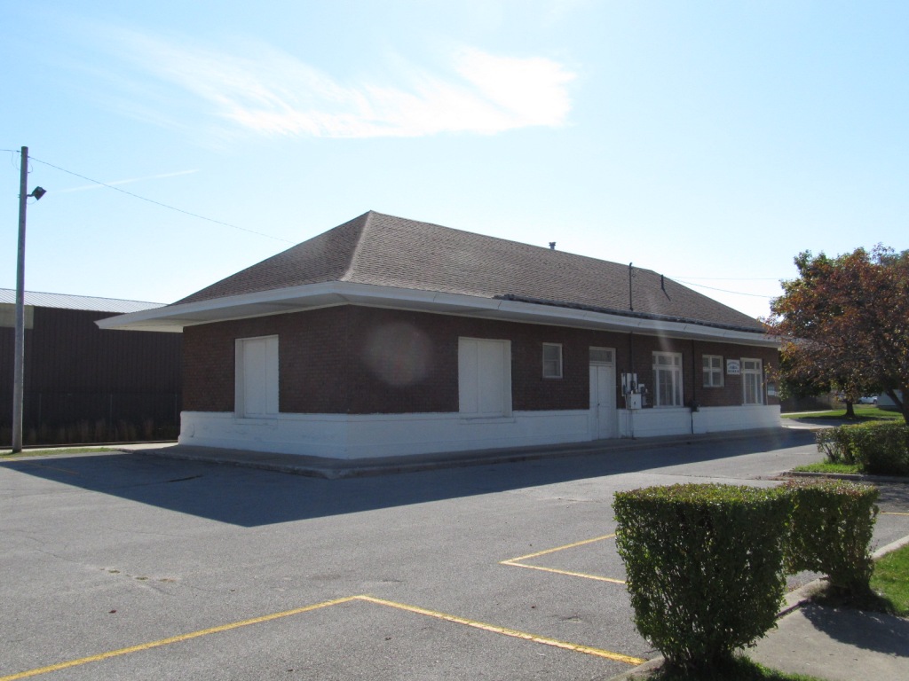
Former PRR
Depot
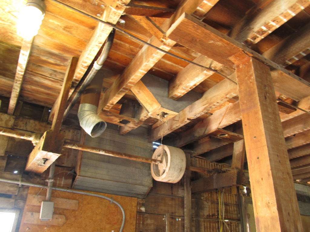
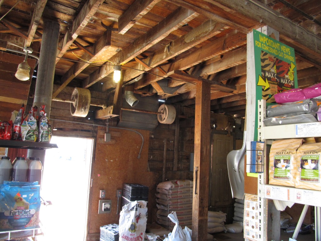
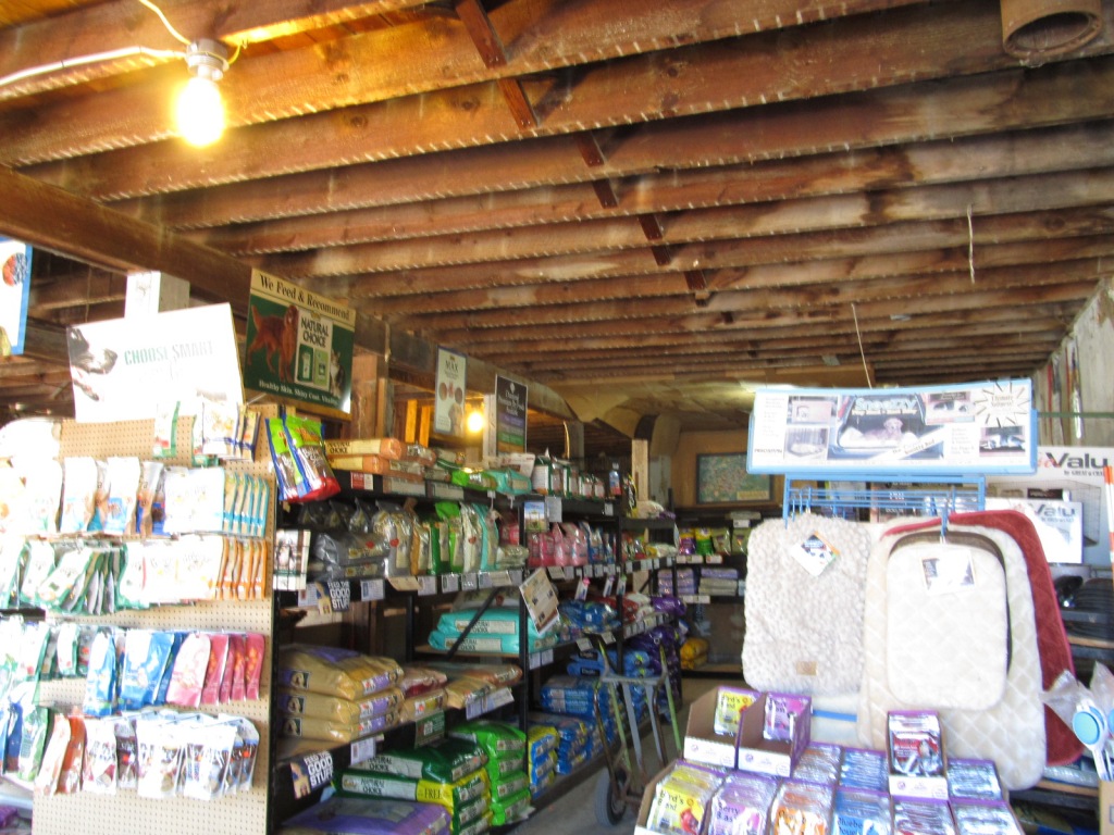
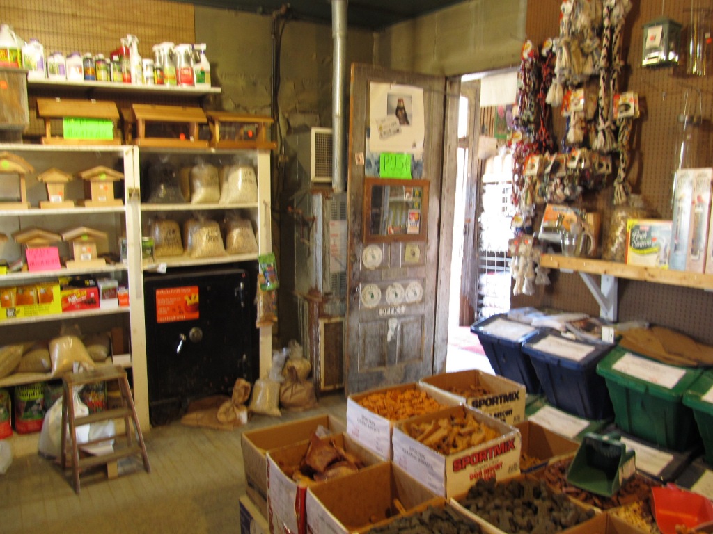
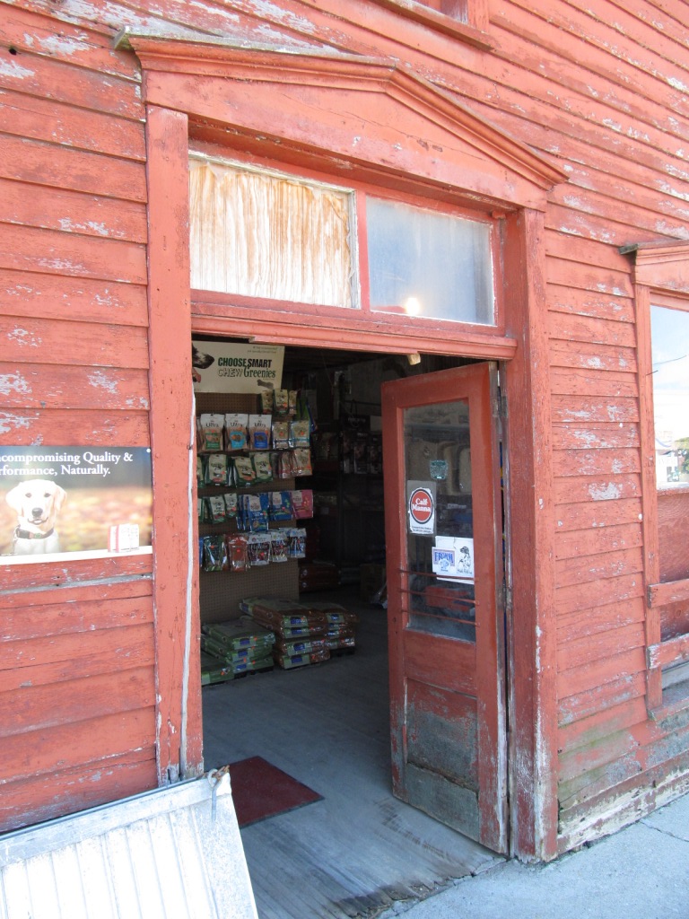
Old Timey Feed Store
Data:
GPS Coordinates: as needed
Phone A/C: 231
ZIP: 49646
Access by train/transit:
None
Geography:
Flat
The Scoop:
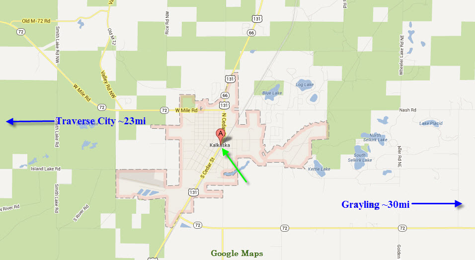
Kalkaska is between Grayling and Traverse City, about 120 miles NW of Detroit
via I-75.
For the railfan, Kalkaska is a single attraction town - a former
Pennsylvania RR depot. However, if
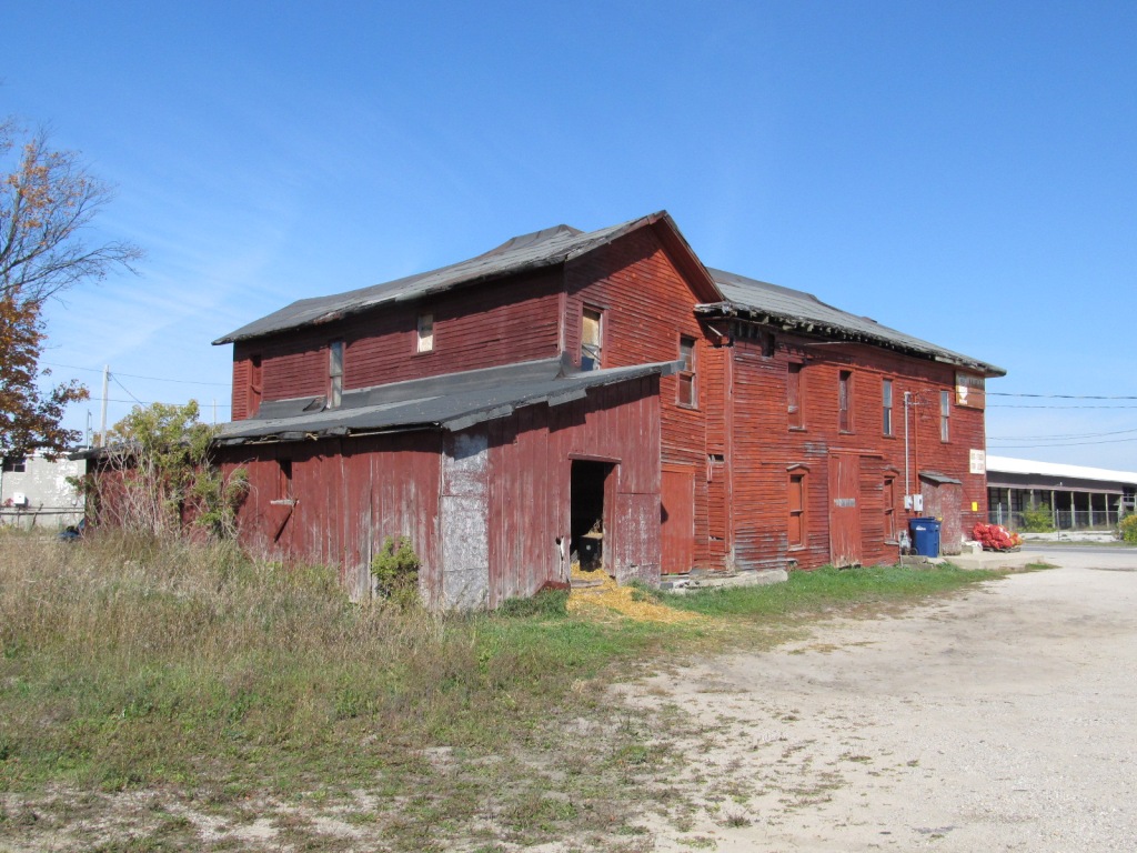
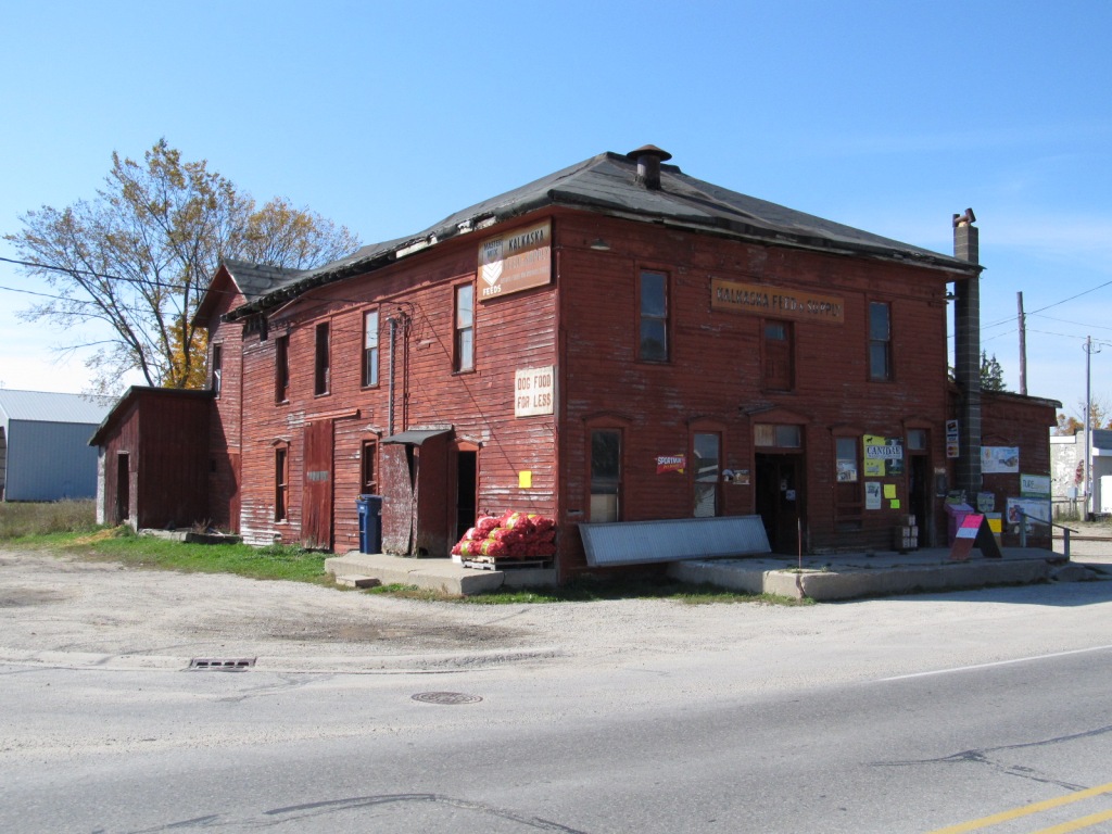
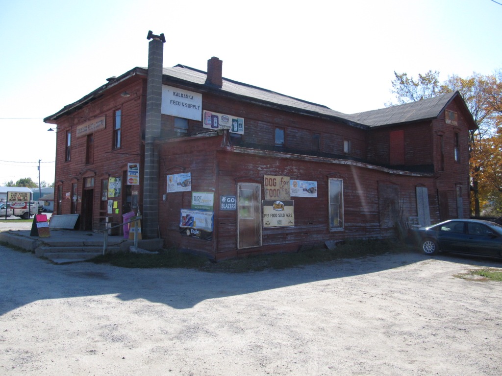
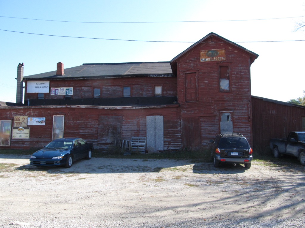
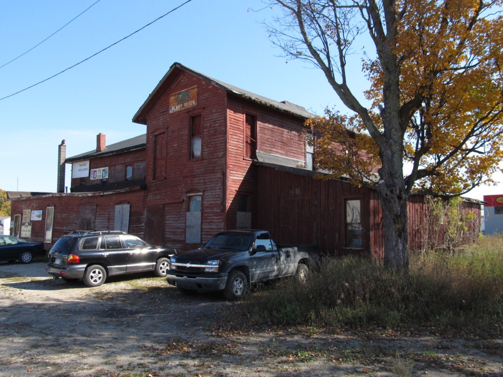
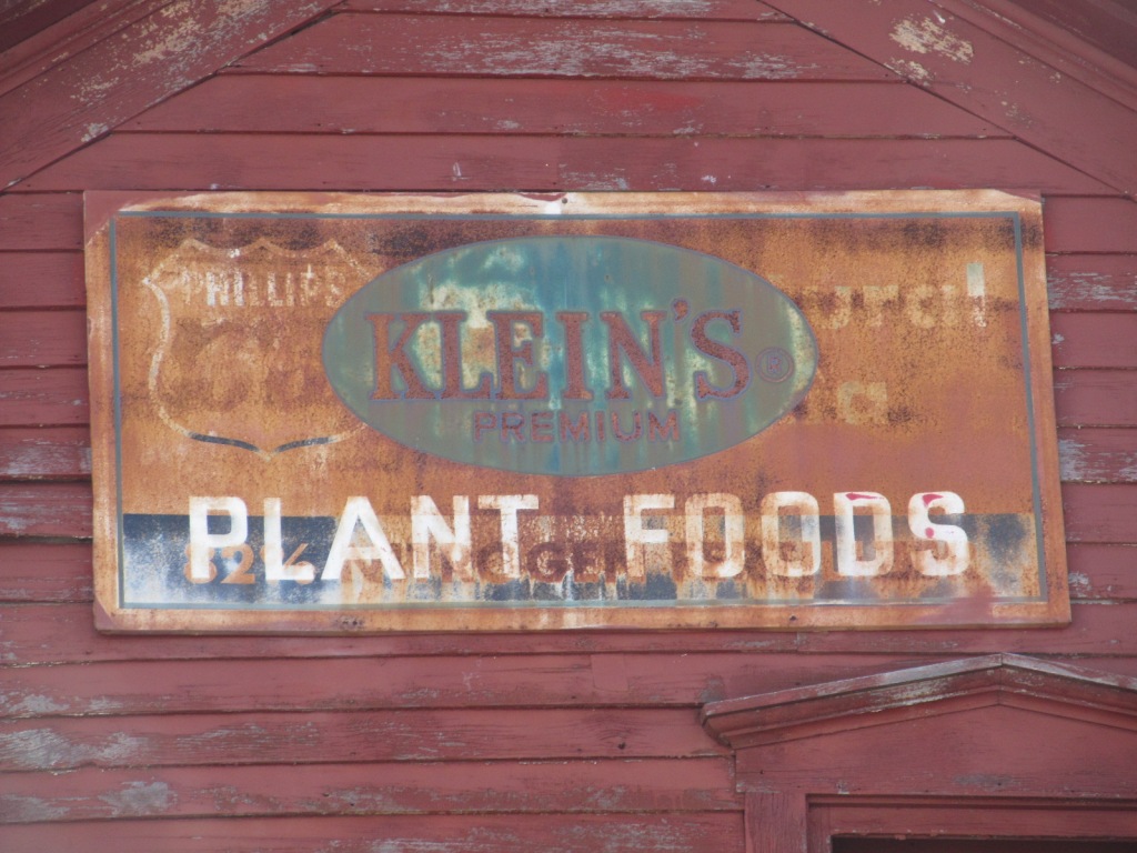
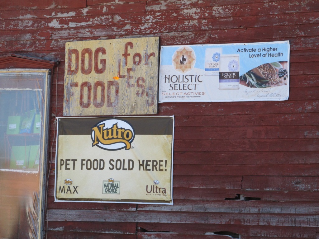
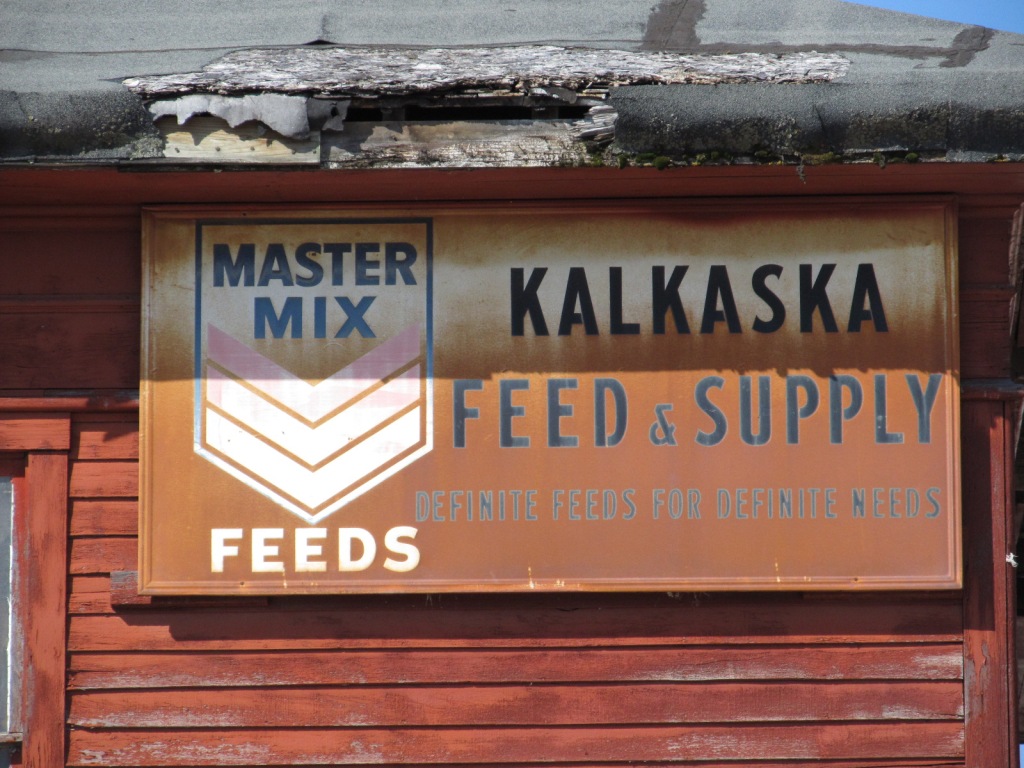
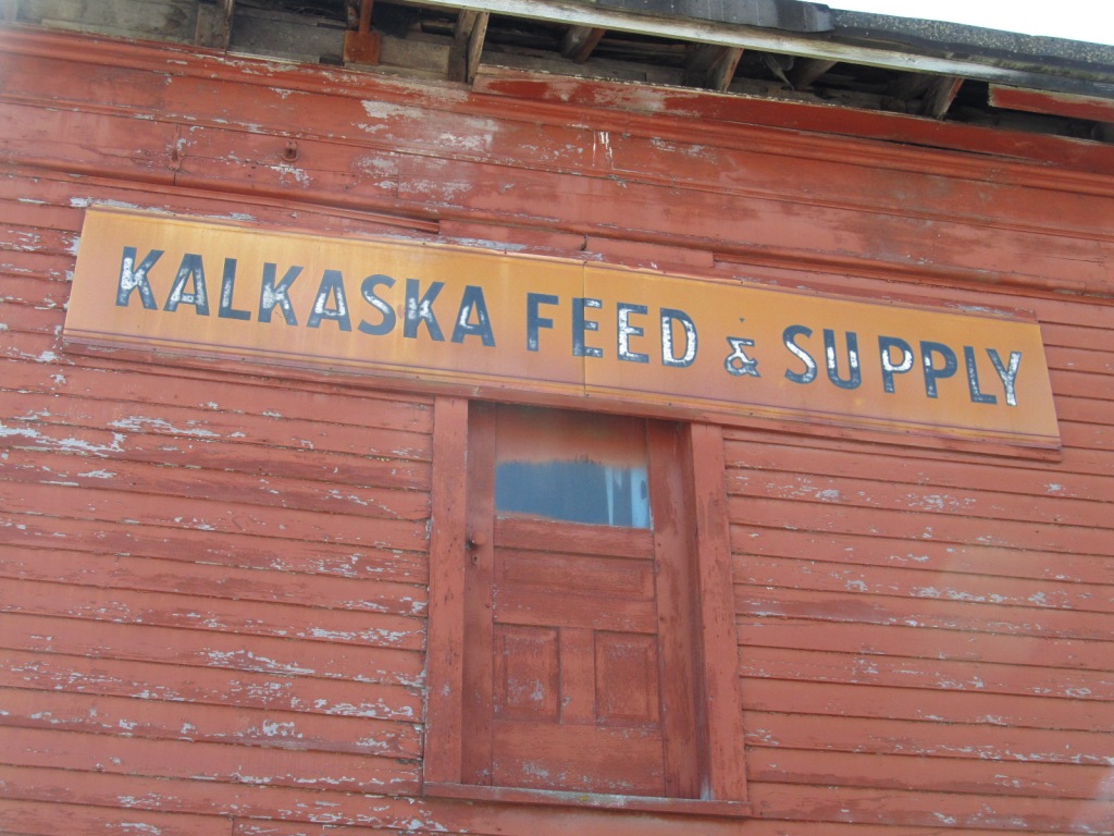
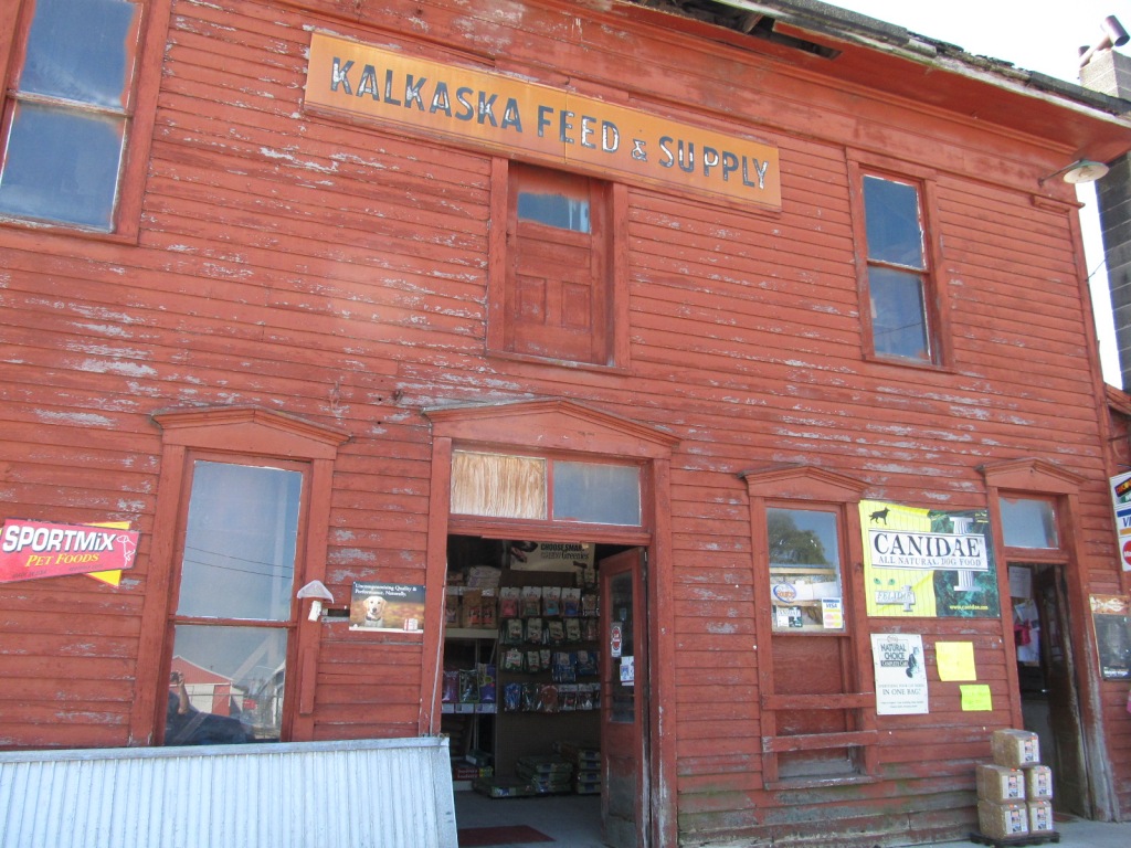
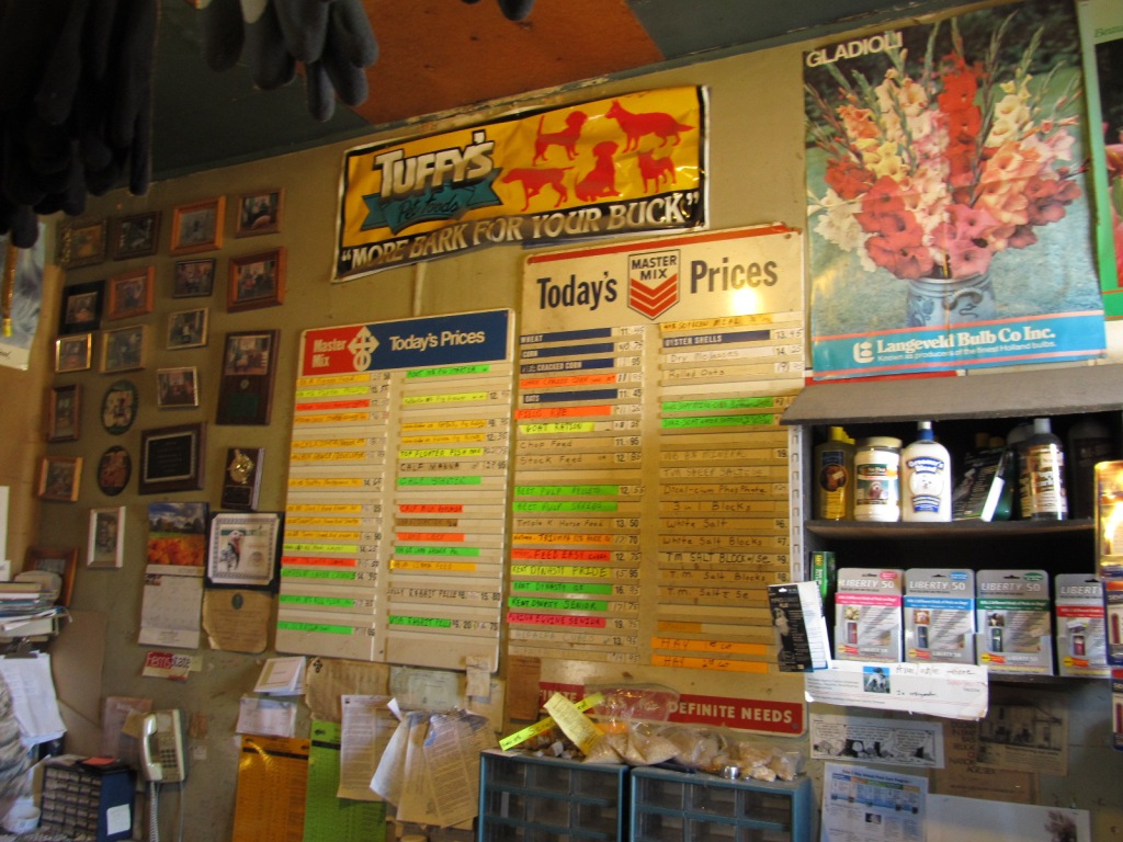
you're into "other things", Kalkaska sports a really old farmers
type feed store near the depot that's well worth checking out. IMHO,
It is actually more of a "catch" than the depot :-)
The line is now the Elmira Branch of the Great Lakes Central RR, which goes
up to Petoskey, 50 miles north.
The small map of Kalkaska below is from my map of Traverse City - if you need
to find it, go to the Traverse City page.
Bits of History and trivia:
From the Michigan Railroads dot com page for Kalkaska: The Grand
Rapids and Indiana RR came thru (N/S) in 1874. By 1903, the Pere
Marquette came thru (E/W) at an interlocked crossing, and by 1909, the
GR&I built a tower for the diamond. The state bought the line from the
Pennsy, now Conrail, in 1984, but they do not say when the line became part
of the PRR.
From Wikipedia: The east/west Pere Marquette line started out in 1897 as
the Grand Rapids, Kalkaska & Southeastern RR. If we believe
the dates on the Michigan RR dot com page, the line didn't reach Kalkaska
until 1903, because that date is not mentioned on the Wiki page. When
the railroad reached Rapid City, where it joined up with the Chicago
& West Michigan Rwy, the C&WM signed a 10 year lease with the
GRK&S in exchange for supplying rolling stock and overseeing
construction. In 1899, there was a consolidation with the Pere
Marquette, and in 1903, the PM bought the capitol stock of the GRK&S.
However, the line was unprofitable, and was shut-down in sections in 1916,
1918, and 1921.
From Google: The name Kalkaska is a Native American word sometimes
said to mean “a flat of table land.” Others maintain that the word means
“burned-over territory.” When the Native Americans inhabited the area, the
land was covered with tall white pine trees.
From Wikipedia: What is Kalkaska Michigan known for? The Kalkaska
area is known as a fishing destination with inland lakes and the Boardman,
Rapid, and Manistee Rivers. Kalkaska has held the National Trout Festival in
the last week of April each year since 1933. A giant statue of a brook trout
is in the town square.
Acknowledgements:
Denver Todd
Google Maps
Michigan Railroads dot Com
Wikipedia
From the eastern side of the state, such as Detroit or Ann Arbor - Kalkaska is
between Grayling and Traverse City if you are headed to or from TC via 72
from Grayling MI at I-75 exit 256 or 258.
If you're coming up from the middle of the state or the west side, make your
way to US 131, and it will take you directly into Kalkaska - it's about 35
miles north of Cadillac. 131 runs thru Grand Rapids and Kalamazoo,
coming off I-80 about 15 miles east of Elkhart IN.
Grade crossing on the south side of town at the 72/131 junction.
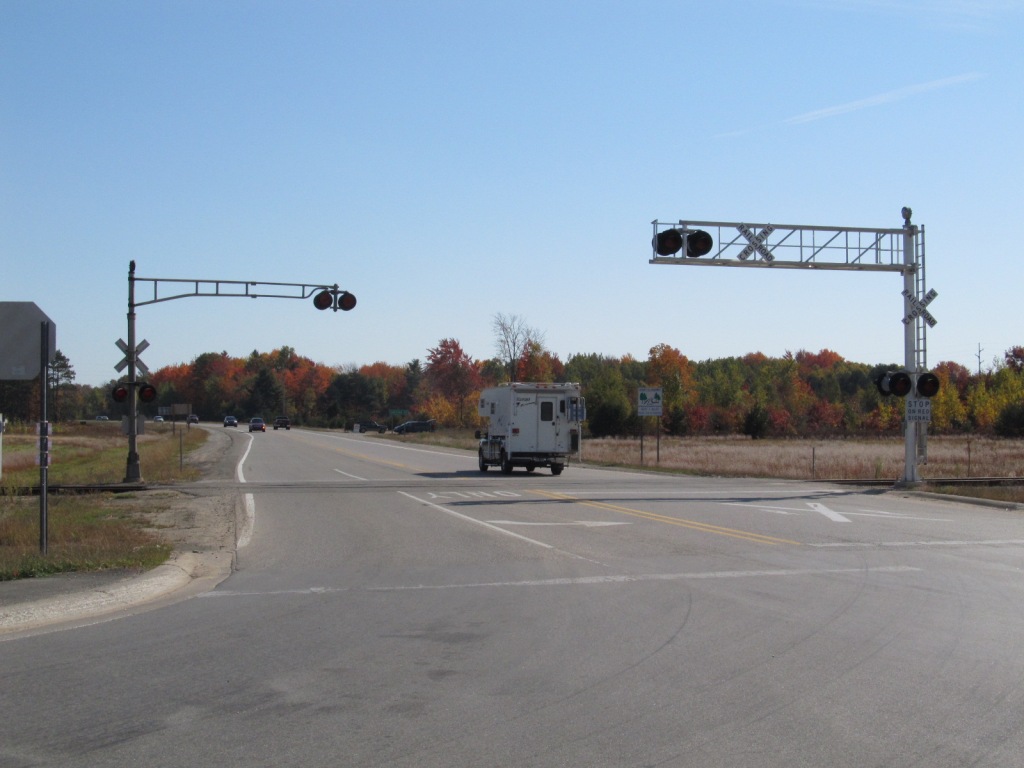
Looking south from the feed store.
Looking north from the station.
Switch stand next to the feed store.
Simply put, the "State Bank".
Disclaimers:
Updated 8/20/23 -- I love trains, I love signals. I am not an expert.
My pages reflect what -I find- on the topic of the page, they are a
collection of what you can find elsewhere. MY maps and drawings are
the exception! This is something I have fun with while trying to help
others. If you have helping comments, corrections, pictures, and/or information
to make the page better, please, by all means, shoot me an email.
Contributors are given credit unless the fame is not wanted. If
you have a negative comment, I'd rather you keep it too yourself unless
you are really tactful, as I have enough to do maintaining 1200+ pages :-)
How many cats can you put in an empty box? Only one, because after
that, the box is not empty :-)
Please Note: Since the main focus of my two websites is railroad signals,
the railfan guides are oriented towards the signal fan being able to locate them.
For those of you into the modeling aspect of our hobby, my
indexa page has a list of
almost everything railroad oriented I can think of to provide you with at
least a few pictures to help you detail your pike.
If this is a railfan page, every effort has been made to make sure that the information
contained on this map and in this railfan guide is correct. Once in a while,
an error may creep in :-)
My philosophy: Pictures and maps are worth a thousand words, especially for
railfanning. Text descriptions only get you so far, especially if you get lost or
disoriented. Take along good maps.... a GPS is OK to get somewhere, but maps
are still better if you get lost! I belong to AAA, which allows you to get
local maps for free when you visit the local branches. ADC puts out a nice
series of county maps for the Washington DC area, but their state maps do not have the
railroads on them. If you can find em, I like the National Geographic map book
of the U.S..... good, clear, and concise graphics, and they do a really good job
of showing you where tourist type attractions are, although they too lack the
railroads. Other notes about specific areas will show up on that page if known.
Aerial shots were taken from either Google or Bing Maps as noted.
Screen captures are made with Snagit, a Techsmith product...
a great tool if you have never used it!
By the way, floobydust is a term I picked up 30-40 years ago from a National
Semiconductor data book, and means miscellaneous and/or other stuff.
Pictures and additional information is always needed if anyone feels inclined to
take 'em, send 'em, and share 'em, or if you have something to add or correct.... credit
is always given! Please be NICE!!! Contact info is here
Beware: If used as a source, ANYTHING from Wikipedia must be treated
as being possibly inaccurate, wrong, or not true.
Please note: That my pages here and on my signal pages are mostly a collection
of information you can find elsewhere. Hopefully, my pages bring all that information
together on one easy to use page: What is interesting to look at, how to get there,
details and history of the sights, other things a lot of railfans are into (like bridges
and fire companies). Pictures of others are used with credit and the source of the
pictures if known, allowed by the fact that this is a totally not-for-profit
website and is used as an informative website. I you have a problem with me using
one of your photos, please let me know, and I will remove it if you really don't
want people to know you took such a great photo :-).


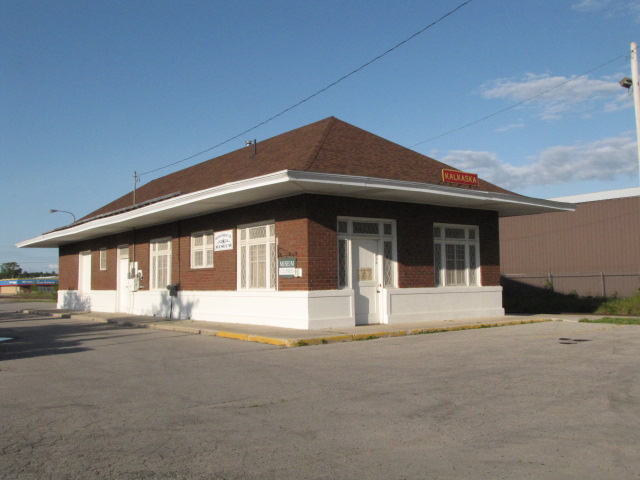
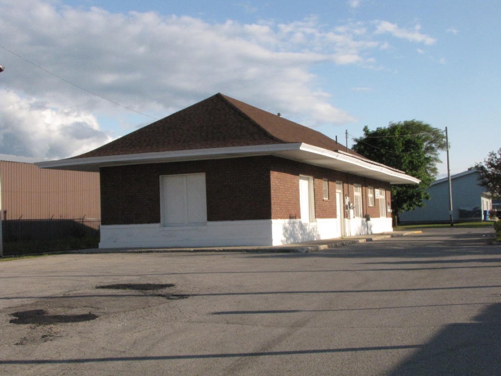
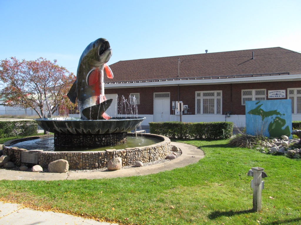
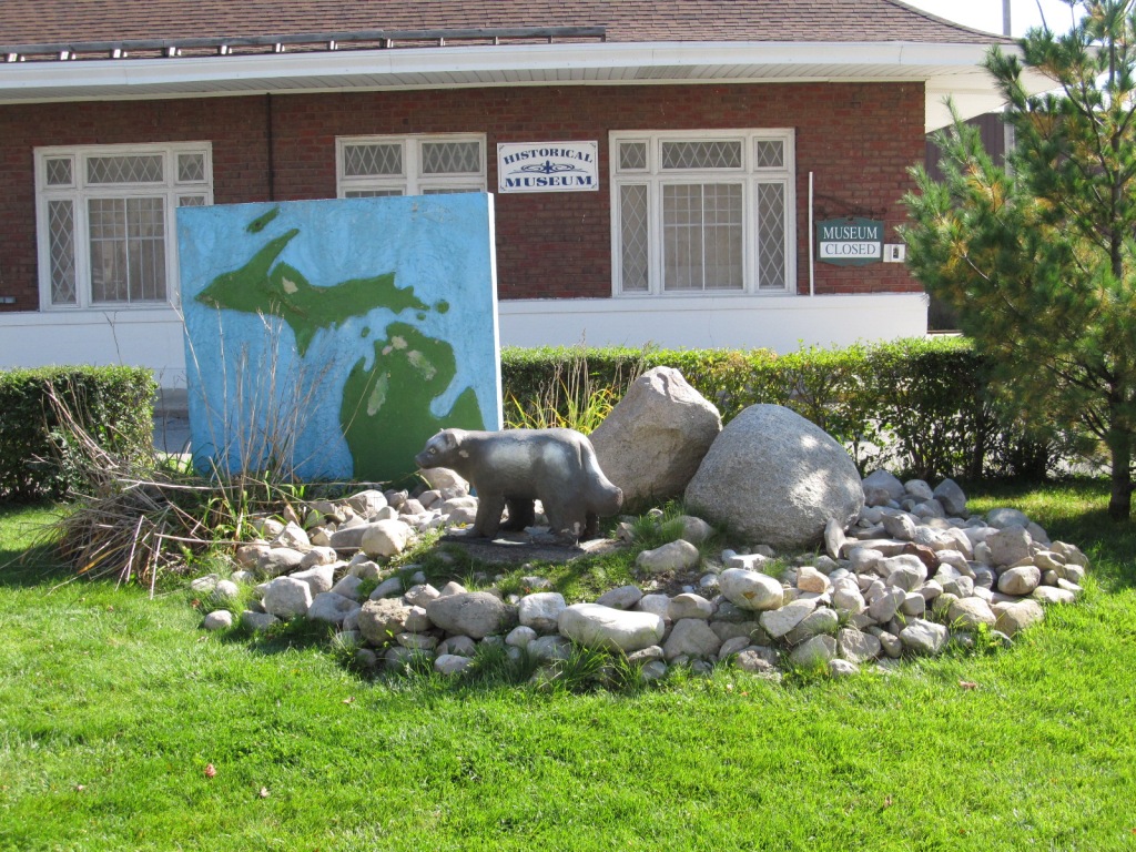
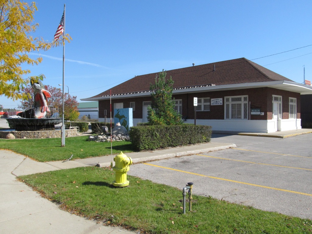 In front of the depot.
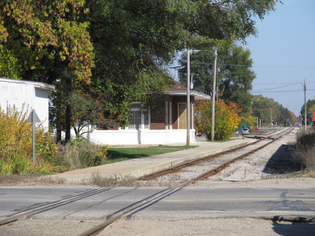 From the feed store.
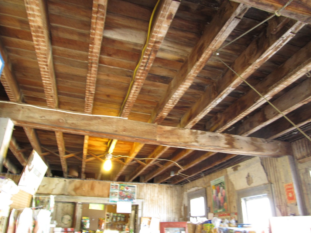
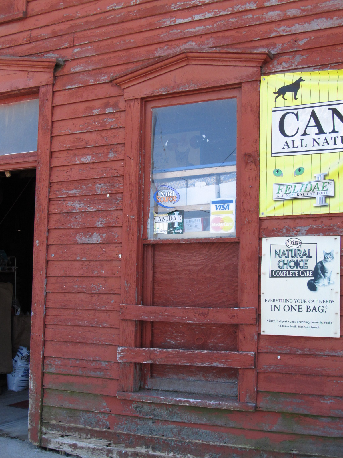
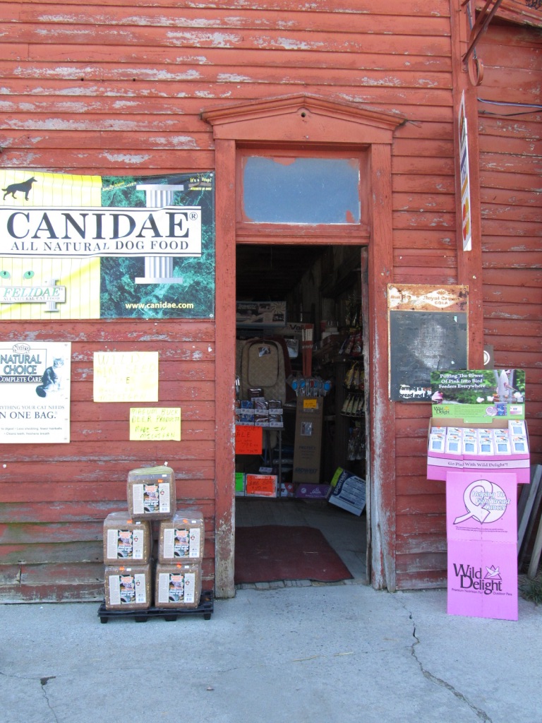
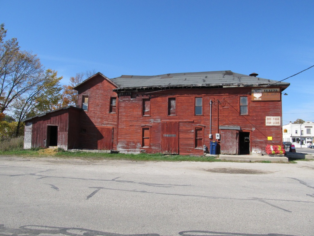

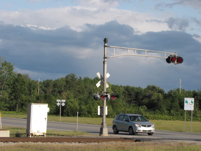
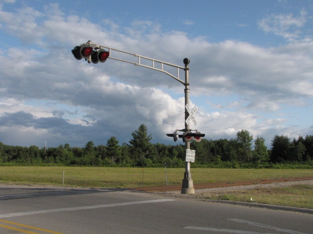
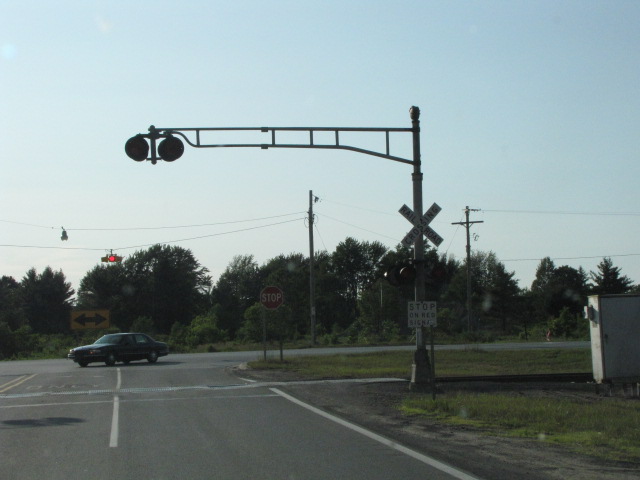
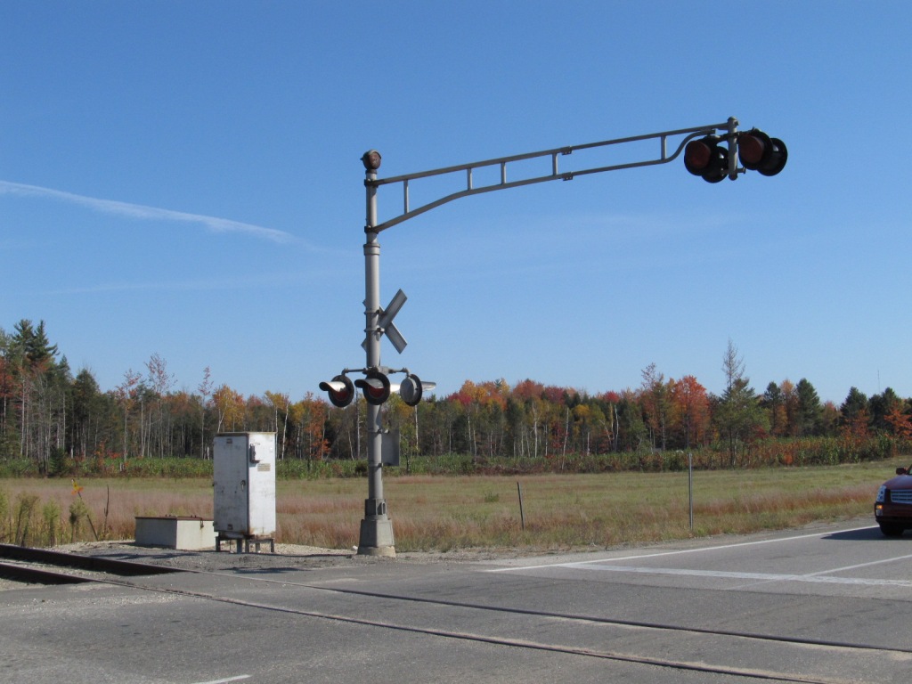
 Grade crossing on the south side of town at the 72/131 junction.
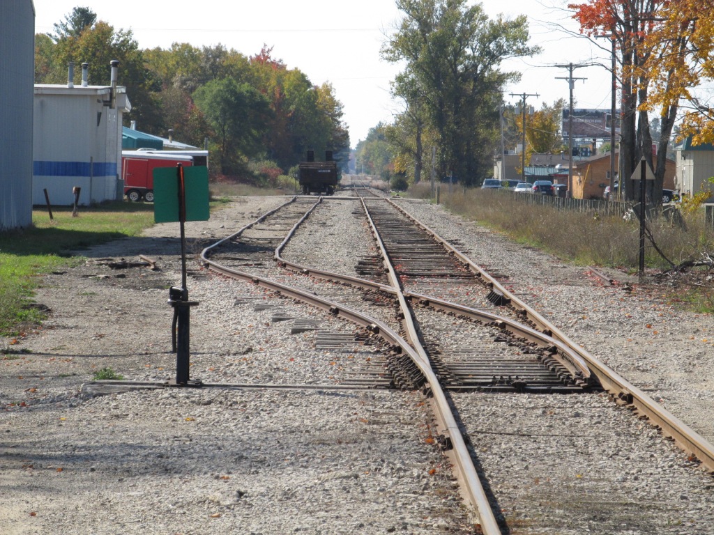 Looking south from the feed store.
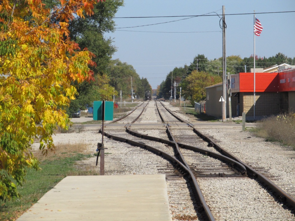 Looking north from the station.
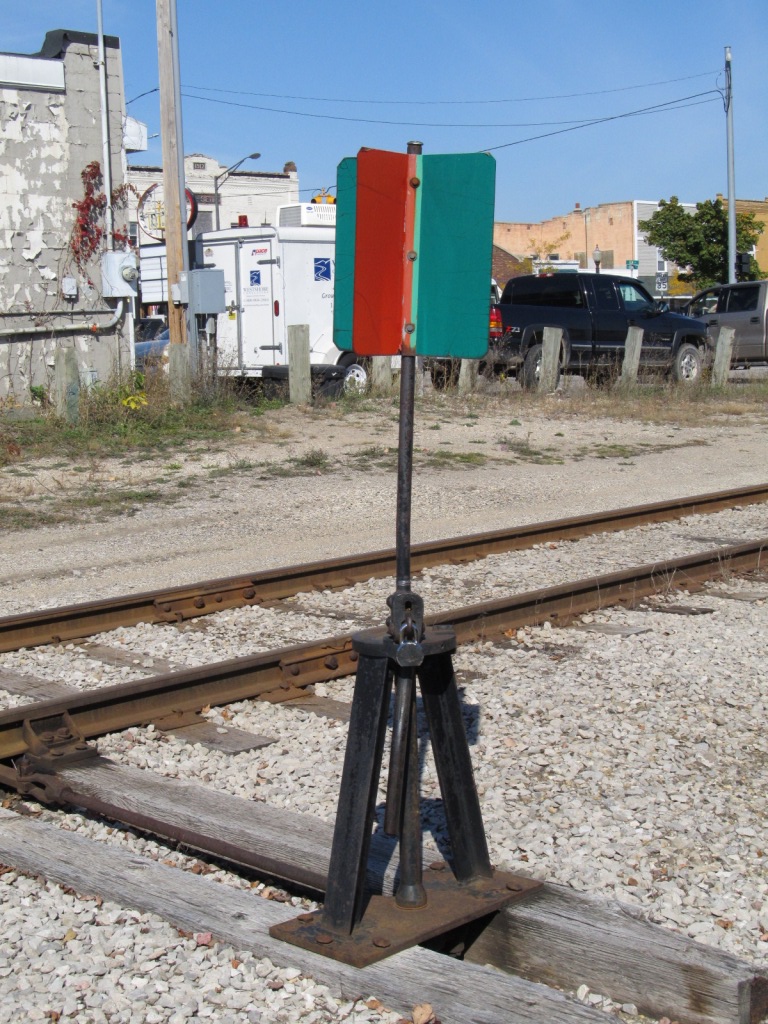
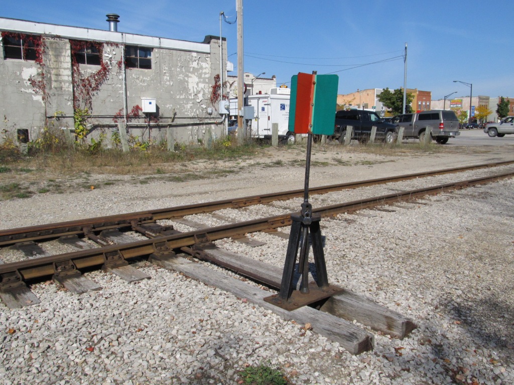 Switch stand next to the feed store.
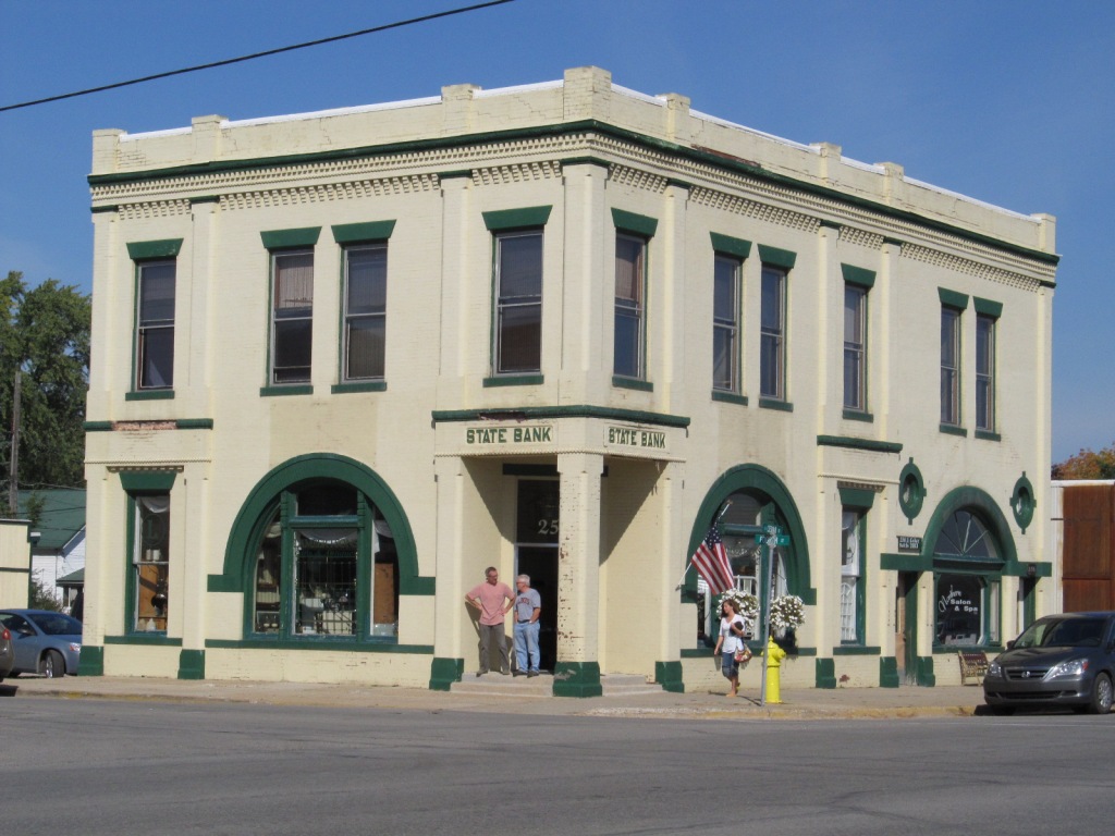 Simply put, the "State Bank".